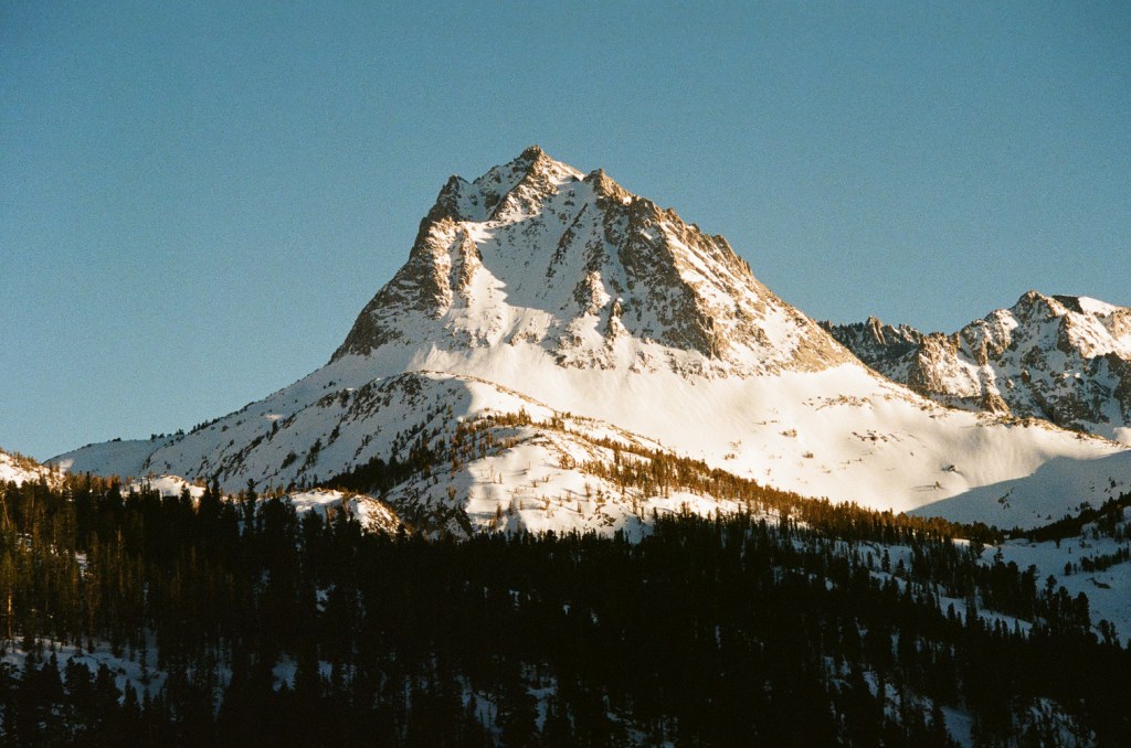
After a long winter of traveling, my buddy Kyle and I arrived in March to find the Tahoe snowpack in dire condition. In classic Sierra fashion, snowfall had been limited to just three enormous dumps, leaving the rest of the season lacking. The last of the huge storms had blown by the previous week, gifting the locals and the hordes of Bay Area weekend warriors with two great powder days. But it had nearly all been melted by a spike in temps and ill timed rain. Neither of us mentioned this as we met up in Tahoe. Our stoke was endless and we were in search of the one positive left: early spring corn1.
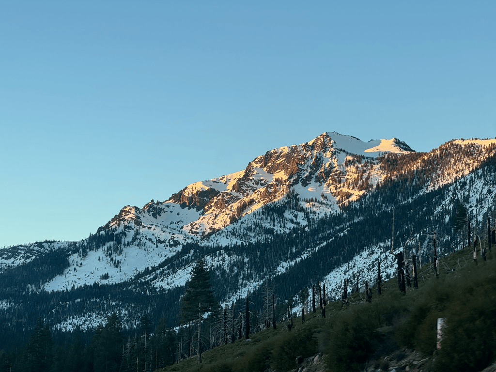
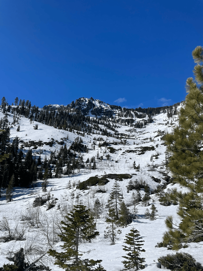
Corn in the Sierras is fickle. The search for it can be even more tricky. First we would need to find large southern aspects. Then our arrival would have to be timed precisely. Too early and the snow would still be frozen from the night before. Too late and the sun would microwave the snowpack into wet slush. Finally once we stepped off the trailhead there would be endless bushwacking. We knew the deal and were willing to pay the corn tax. Our first mission was to a zone unknown to us on Tallac. In winter, we’d skied this route from the standard ascent, the popular NW trees bowl. This new zone was a small bowl on its opposite face. With the extra sunshine we got a relatively late start and began up the access road with little issue. The snowpack was just high enough to skin from the road and it wasn’t long until we found ourselves on the summit. On the way south towards our bowl we even peeked into the ‘cross couloir’2 to see some mountaineers scrambling up. One day it would be awesome to ski this steep, technical line, but it was nowhere near in condition. Pushing on, we found ourselves on top of the bowl overlooking Fallen Leaf Lake. The West Lake Tahoe scenery was spectacular as usual. But the continuous winds and exposed headwall of the bowl proved to kill any chance of corn up high. We still made the best of the first thousand feet or so before getting consolation corn further below.
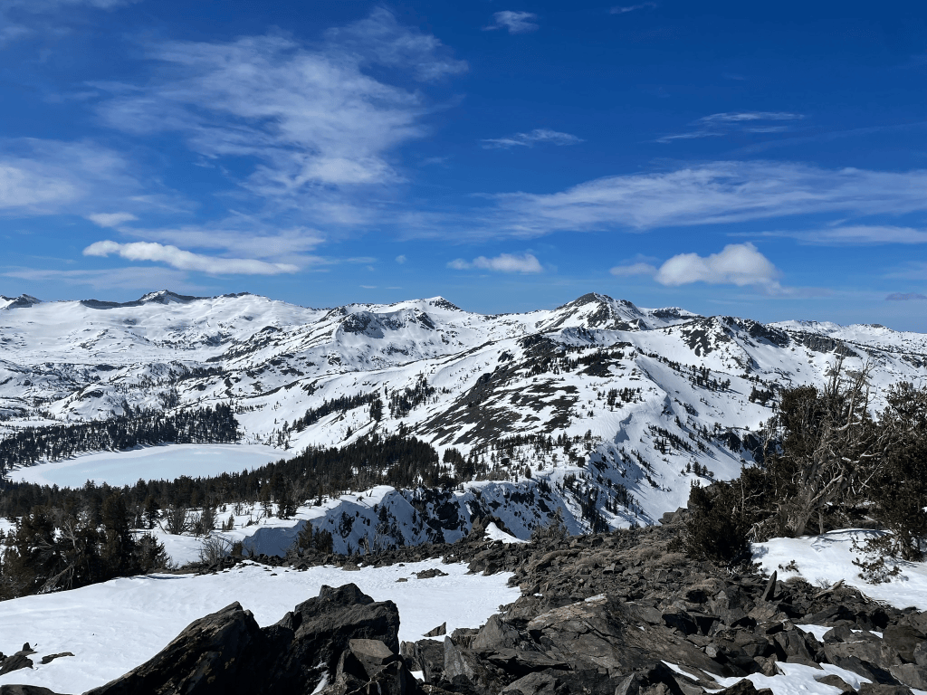
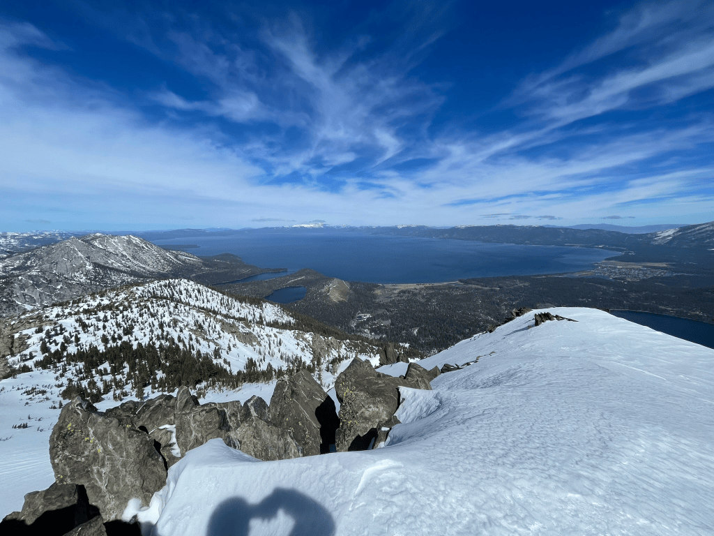
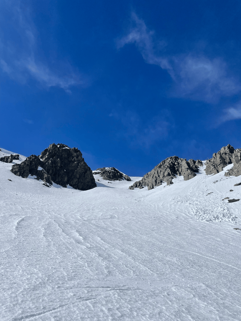
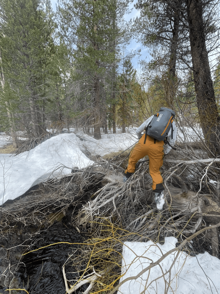
What we didn’t quite expect was the rapidly approaching bush and treeline down low. The south aspect had much less snow in comparison to the north side we ascended. Kyle and I shouldered the skis and reluctantly began the mile or so bushwack traverse to the north side. The slog through the dense forest served as a subtle foreshadow for the rest of the spring season. We had to hike up steep dirt, plow through dense bush, and transition a handful of times. We made it back to the car with relatively low effort, but it was still a poor showing for the beginning of March. By the time we got back we were already scheming what was next for the following day. Despite the amount of Tahoe terrain with snow, cover was thin and we were focused on maximizing our corn skiing without traveling for endless miles into the backcountry. After some research we landed on three options. We could head way out into the desolation wilderness, stay close by to lap the south facing chutes on Jake’s, or head way south for big terrain in the eastern Sierra. Kyle had just subscribed to the relatively new Sentinel satellite imagery subscription on CalTopo3, which conveniently showed us the snowpack from an ariel perspective. With mapping tools, guidebooks, and recent images from space on hand finding the best terrain felt like cheating. It was then that we spotted a huge 2000 ft south face on the backside of Carson pass in relatively good condition. This area in South Lake and the Kirkwood backcountry was a tad higher elevation than what we had been skiing. It also was only a couple miles from route 88, which makes for a pretty tame approach into our zone.
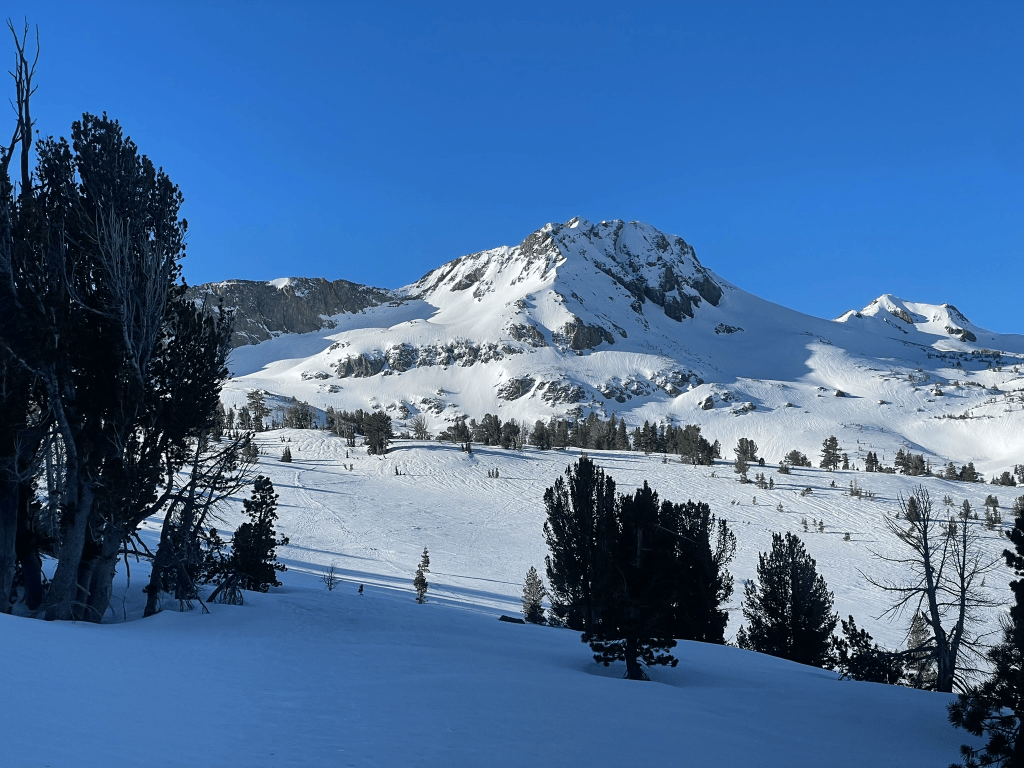
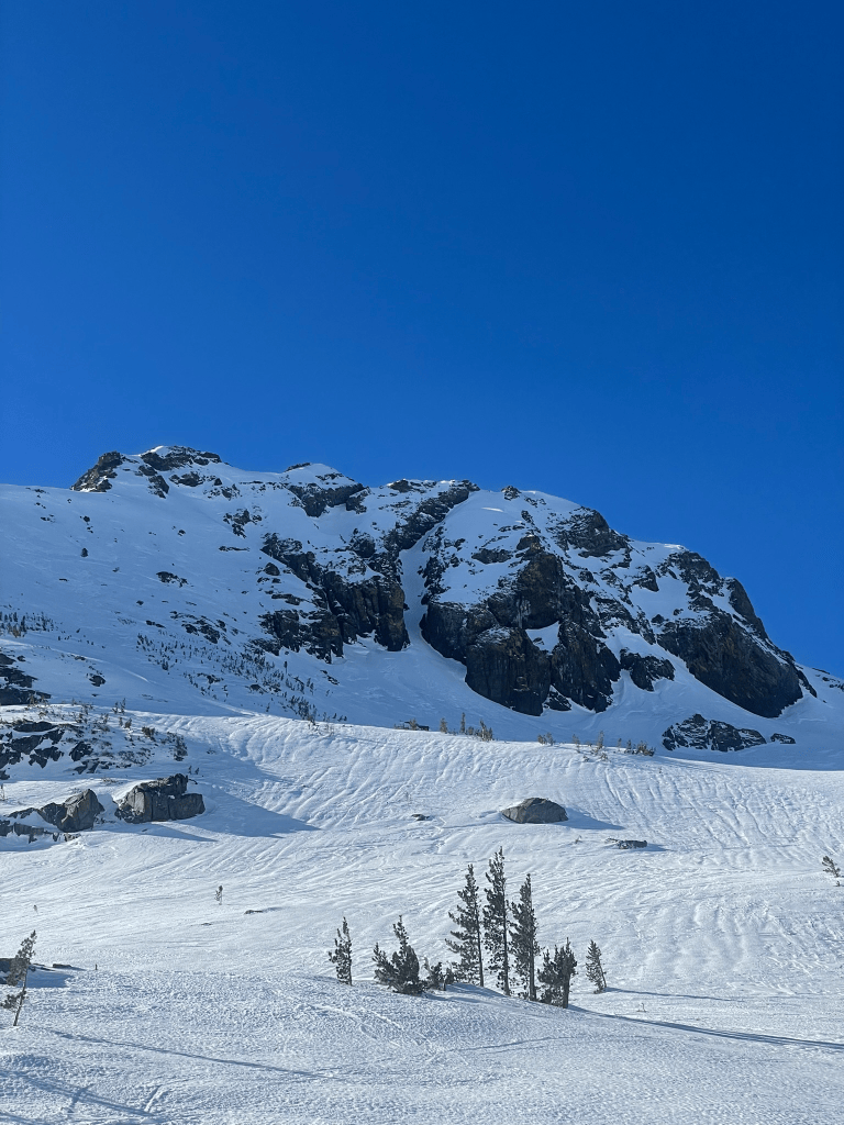
The next morning we were up early once again and started up the skintrack for a bigger day in the backcountry. There were a few people scattered around the main trail on Carson Pass, but we quickly found ourselves alone once we crossed over the Roundtop4 ridgeline. The South Face was our target and dropped off two thousand feet to the valley floor below. Our timing was great and it was about 10:30 in the morning when we dropped in for lap 1. The top 1000 ft this time was spectacular and lead us down a large face before bifurcating into drainages below. The gullies were a tad more involved and required some short downclimbs through rock steps and bushes. Despite this we still made it all the way to the valley on snow and we both thoroughly enjoyed the soft spring corn. After a short break we turned our heads to see the massive sun exposed face looming before us. The goal was now to climb back up and it would surely be a slog. We took turns leading up the face and I struggled to maintain a grip while skinning5 the first few hundred feet. The sun was unrelenting and we kept to the ridges to stay clear of potential rockfall when we could. After about an hour we still had quite a bit of climbing to go and wound up boot packing the top 1200 ft or so.
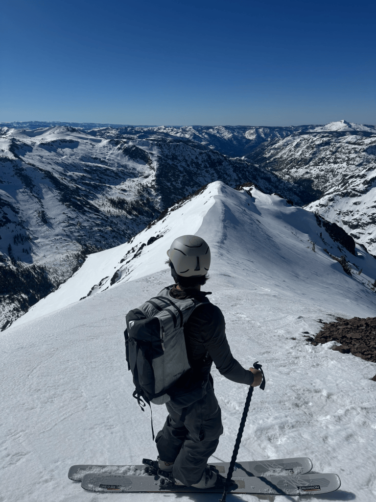
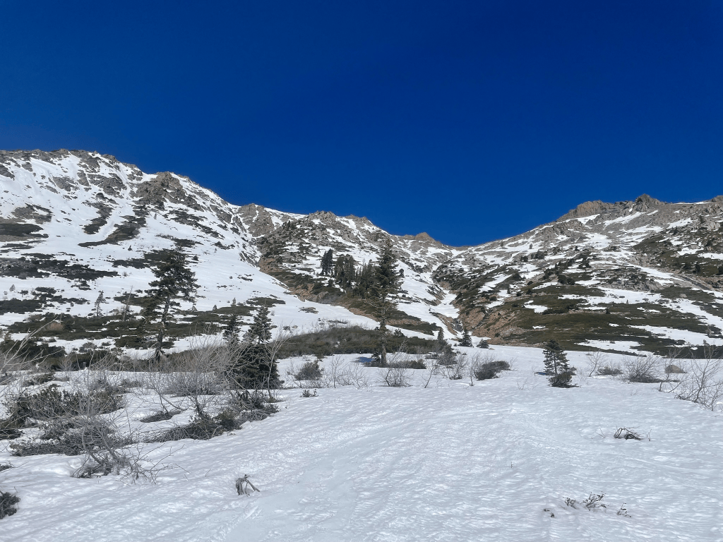
Once we got back to the ridge we were split on the next lap. There were some north facing chutes that had potential, but without knowing the exact conditions we both agreed they were probably too spicy for the day. Instead we opted for the adjacent and massive West facing bowl, which clearly still had corn left intact. Luckily for us, our party lap down this face was a blast. There were tons of small rocks to jump off and the snow was perfect for big and fast turns. We quickly transitioned at the bottom and made a short hike up to the ridgeline around the next peak. By this time it was getting late for any more corn and we opted to made the long traverse back to the trailhead. Although it was still a slog, the area was gorgeous and there were tons of people out exploring this massive zone either skiing or hiking. That afternoon we headed back to the city feeling great. From our perspective it was time for spring in the Sierra to shine and expected lots of corn in our future. Little did I know this would not turn out to be the case just yet.
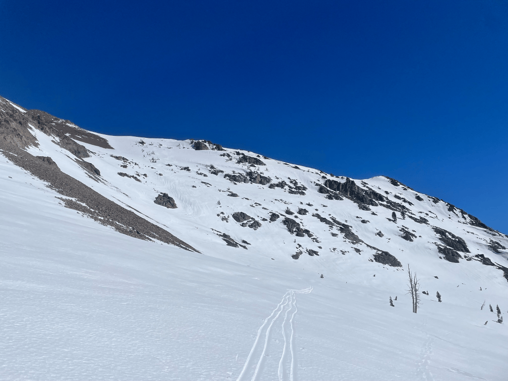
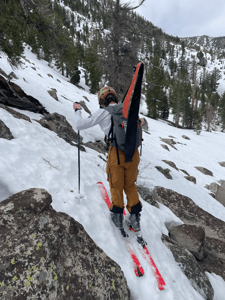
The next couple weekends passed with poor snow and a busy schedule. Then I ran into an unexpected change in pace. I found myself out of work on the third week of March and suddenly wanted to take advantage of the free time with dedicated travel and skiing. I had already planned on taking a trip out to Mammoth with some friends and immediately got on the road. The conditions weren’t ideal but I knew that the Eastern Sierra would always provide. My buddy Devin was the only one willing to explore that weekend and we opted for a local zone after some late night debate on what to ski. Without much knowledge of the area, we began the approach to the Valentine Cirque6 early on Saturday morning. Similarly to Tallac the week prior, we quickly realized the first 1000 ft or so would be on dirt. It was still early so it didn’t really phase us and we trudged through some incredibly annoying melted out terrain. As we got further and further into the zone we continued to cross streams and transition frequently. The usual winter approach led us into a nasty exposed and barren south face downclimb. Devin’s initial carefree attitude began to slowly erode and we couldn’t even see our objective yet. I knew at about 10,000 ft there was going to be great snow and access to a huge cirque with many lines to ski. Before we got there was still another 1000 ft or so of horribly thin terrain below the tree line. And then we arrived at the crux: a half mile of boulder hopping topped with a foot or two of thin snow bridges.
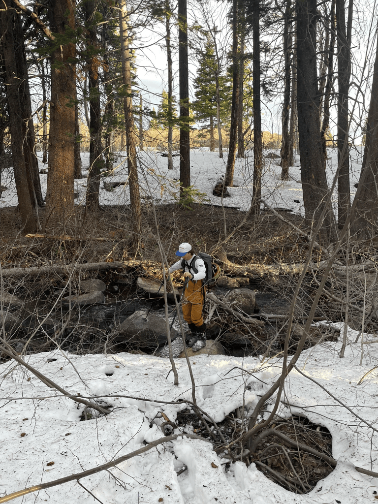
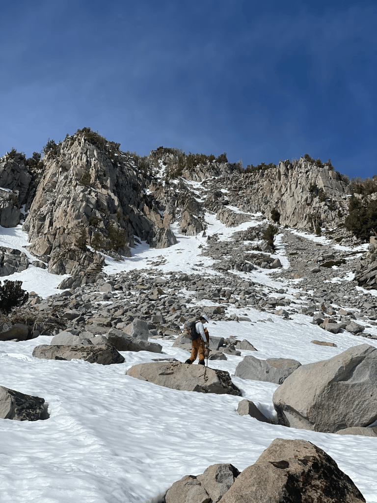
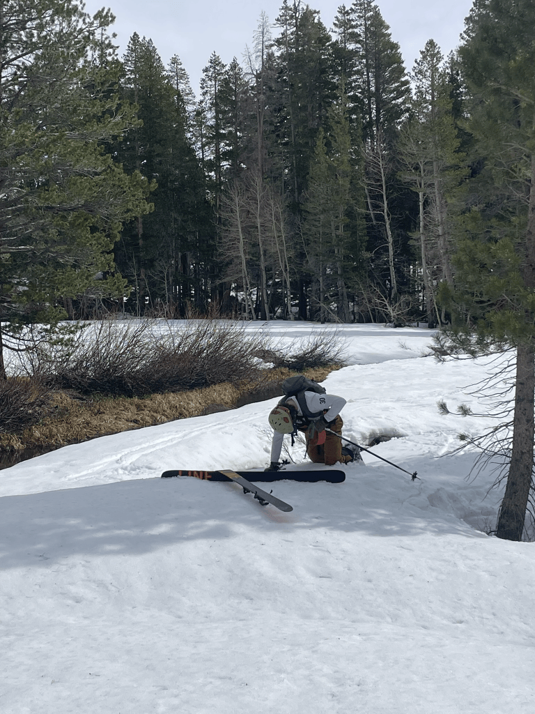
The boulder field approach proved to be particularly challenging to cross. Snow bridges would occasionally give way to deep and hidden cracks. I found myself precariously dancing between these snow bridges while desperately trying to minimize transitions. Devin followed behind me and found himself falling much more often into bridges that were weakened by my first crossing. As the minutes progressed, our progress did not advance significantly and Devin was starting to lose patience. If we continued to the cirque we would almost certainly be back to town after dark. At some point during my delusional rampage through the boulders I looked back to see Devin getting frustrated. We then reluctantly decided to head back. Our potential backup was a climb up the nearby ‘Banana’ chute. By the time we arrived at the base, we still faced countless more snow traps and stream crossings on increasingly wet snow. Eventually Devin’s frequent plunges through the thin snow made his left skin fail completely and we both fell into a state of laughter in self pity. The chute was not going to happen and we basically had the worst approach of all time just to hike back out. As we frequently say, this would fall into the ‘high effort, low reward” category of spring skiing. And so we took a few turns on the way out in wet snow before making the long hike out through mostly dirt and forested trails. Despite the horrendous conditions, the story of the day was a hit with the rest of the group and we laughed off the disaster of a tour as an adventure anyway.
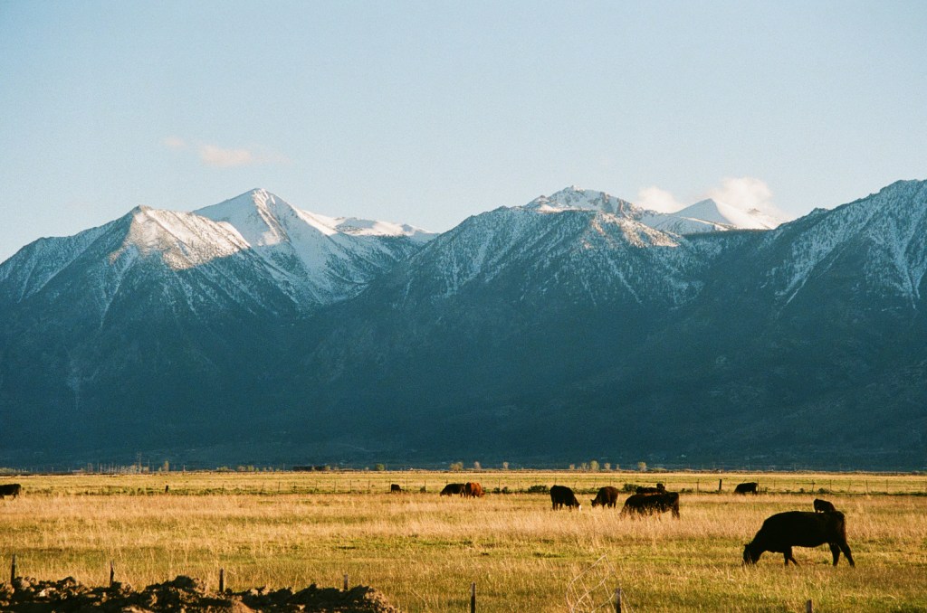
As the spring progressed I swore off corn skiing until the higher roads of the eastern Sierra allowed for better access up high into the mountains. Skiing was still possible, but would require some pretty gnarly hiking through endless mixed terrain. And so it wasn’t until April that I began to organize the next big trip out east. By this time I was lucky enough to stumble upon a great deal for a camper style truck. My uncle was selling a built out Tacoma with a bed and storage perfect for Sierra dirtbagging. For the first trip I convinced some friends to join me out in Bishop to take advantage of fishing season. ‘Merry Fishmas’ week in particular was a hysterical Bishop tradition coinciding with our journey. It took place around the opening of several access roads to high alpine reservoirs neighboring Aspendell where fish were stoked. While most were there to catch stocked trout, my friends and I would take advantage of trailhead access at 10,000 ft in the high sierra. With the recent funemployment I drove out for the whole week and was prepared to scout terrain as much as possible before the weekend.
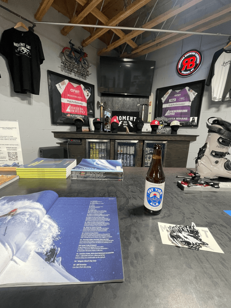
To start things off I headed to Tahoe to pick up some new skis and enjoy a rare April storm in the resorts. As abnormally hot and dry March was this year, April seemed to bring a second wind to winter. I was lucky enough to reap some of this new snow during a morning visit to Mammoth mid week. It was the first time using my new Moment Wildcats and I headed directly to chair 23 for the goods. I happened to ride up with two locals who were feeling generous and brought me to the hard-to-find Starr Chute tucked around the Paranoid Flats area. By the time it was my turn I managed to get fourth tracks down this awesome stash of powder. Not only was it the perfect christening for the new twigs, but it also hinted at what April had in store for us this week. After another couple laps with the locals, we departed ways and I headed back to the truck to scope some backcountry lines. First up was Rock Creek, one of the handful of roads that rose to nearly 10,000 ft up in the Eastern Sierra. I had climbed Bear Creek Spire from this drainage the previous fall7 and knew there had to be some incredible terrain back there. As soon as I parked I immediately ran into some locals who spotted my skis out of the trunk. Pointing over to the slopes to the North, they told me of some skin tracks that would lead to a great spring skiing gully. I was solo and only had a couple of hours, so I got a quick move on and eventually found their tracks out to the zone.
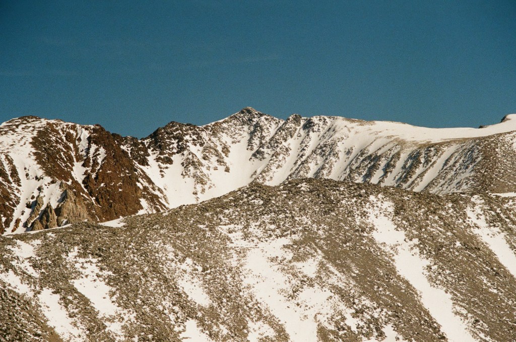
I don’t really like touring alone, especially when there is new snow involved. But this time I felt pretty comfortable in the terrain and spotted a cool looking ramp in the distance. I knew that we would be eyeing north facing couloirs this whole week, so this would be a great opportunity to scope out the snowpack in this type of terrain. Unfortunately for me, the snow pack was pretty horrendous. I was at about 11,000 ft or so and the older cold snap had frozen a thick layer of ice beneath the recent storm snow. There was definitely a potential for a slide so I stuck close to the rock wall adjacent to the ramp. Once I finally made it up to the top of the line I scoped out the rest of the canyon. There were plenty of great lines in condition, but all the approaches looked especially heinous this time around. The last thing I wanted was a repeat of the last Mammoth experience. So then it was time to ski down and I started very slow. Standing on a subtle ridgeline I peered into the ramp. I tested the snow with a turn halfway into the ramp a small slab8 immediately broke off and tumbled down the ramp. I knew this was a possibility but it was spooky for being alone and exposed in this zone. Mentally I took note of the poor avalanche conditions and made a quick descent back to the car. One day I’d love to made it back to this canyon for a proper ski adventure but for now I struck it off the list. Next I needed to find a zone that had easy access to high elevation.
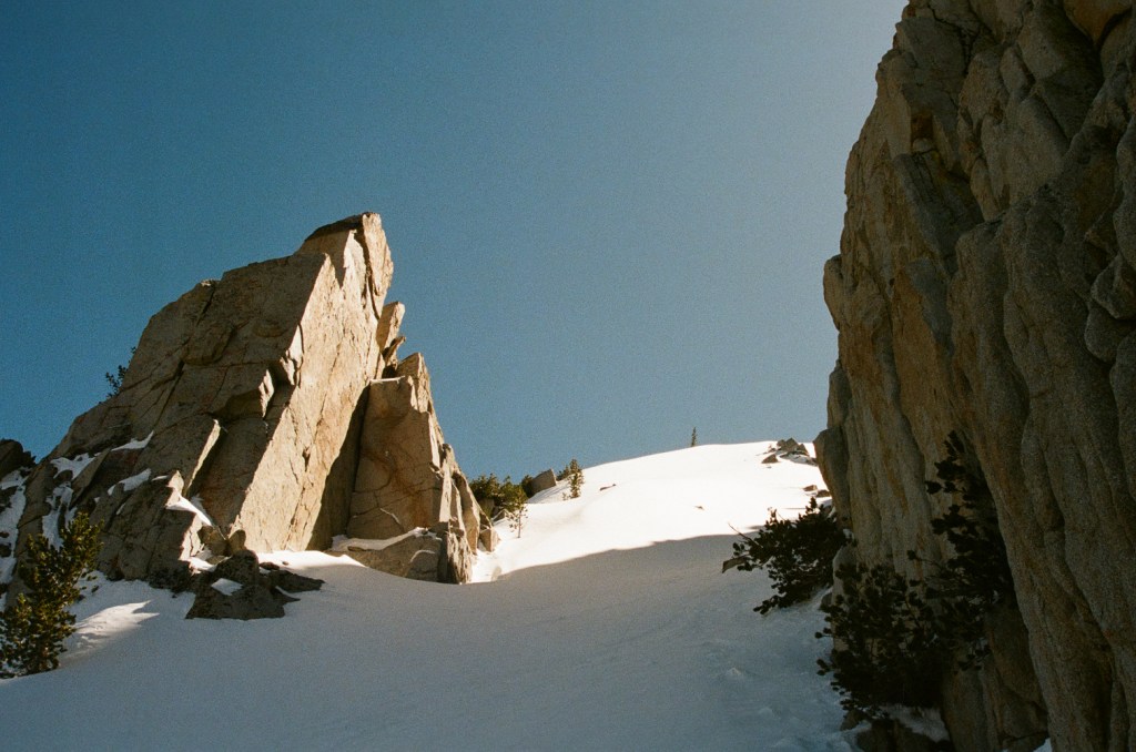
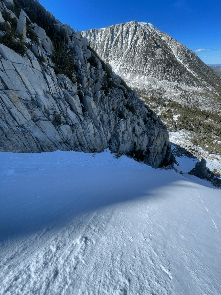
The next day I headed south for bishop to do some more scoping. The roads up to North, South, and Sabrina Lakes had just opened for Fishmas and I wanted to peer into each. North Lake was first, but looked like the canyon was pretty flat and dry. It was the highest of the three lakes and had some crazy terrain hidden far into the canyon but was too much for this trip. Instead I headed back to Sabrina in the middle of the fork and took off on the trail with my skis. Again there was some great terrain hidden back into this drainage but I found myself hiking endlessly in my boots. What started on a nice dirt trail eventually became off camber talus that clung to the edge of the lake. Although I could see snow in the distance this slog was quickly depleting my stoke to hike any further down than I needed to. When I finally reached the end of the Lake I was pretty fed up and eyed a small patch of snow on the opposite aspect from me. However, I first needed to cross a rapidly flowing river that emptied into the tail end of the Lake. For about ten minutes I tried desperately to find a good group of rocks to hop over but kept on turning around. Eventually I ripped off the bandaid and took off my boots. I’d have to walk through the shallow exit and dry off my feet as best I could for the way back. At this point it was almost as comically bad of a tour as I had with Devin back in Mammoth.
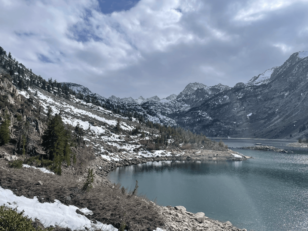
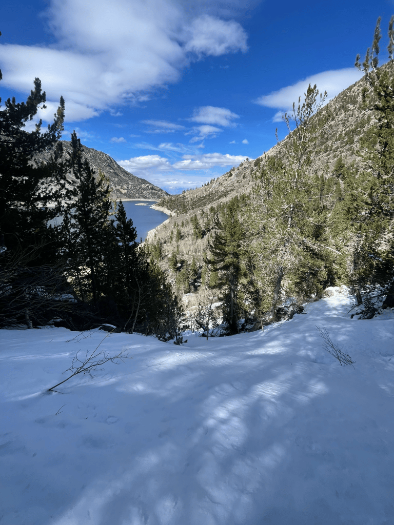
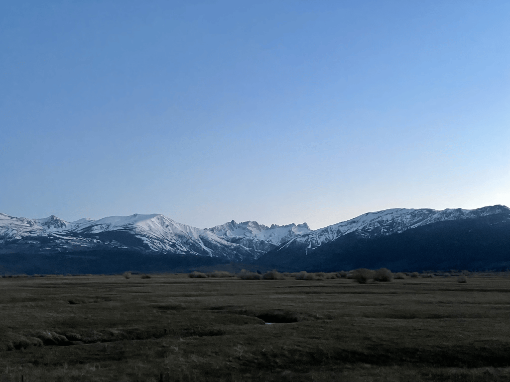
The other side of the drainage wasn’t much better and I bushwhacked straight up the hill for a meager 7 or 8 turns. Similar to Rock Creek, this area was kind of a dud for quick access to the high alpine. There was one lake left and I only had time that night for a quick excursion. As soon as I pulled into the South Lake trailhead I knew it had potential. From a little rock outcropping near the parking lot I could scope out the area with nearly 360 deg views. To the left was the strikingly prominent Mt. Hurd. It’s obvious North face looked like it was only a mile or two from the parking lot despite towering above the lake below. A few others had skied it in what looked like incredible style: just a handful of turns screaming down the fall line. To the right was a massive bowl sitting in front of Mt. Gilbert. Most of these peaks were about 13,000 ft and the approach started off with what looked like a reasonable trail. The most obvious line was a short north facing couloir hanging at the col of Mt. Gilbert. Given the ski tracks nearby and high elevation I knew this is what we needed to ski the next day.
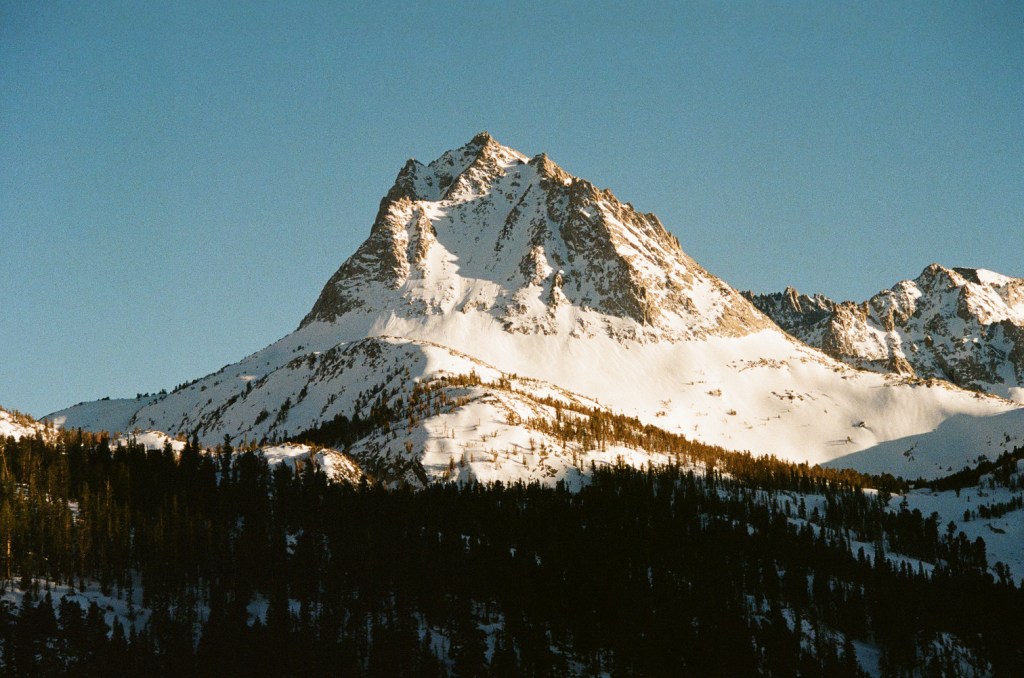
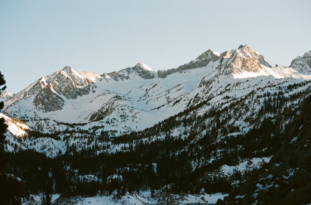
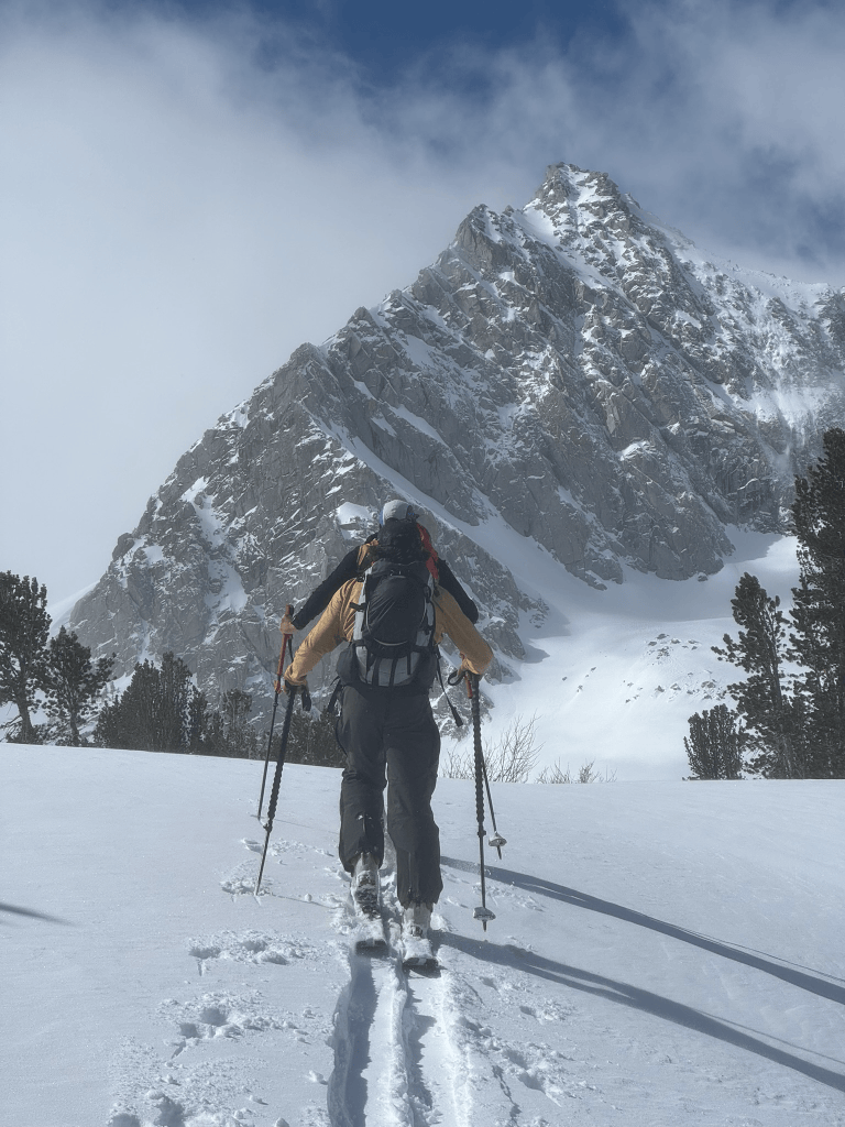
That night my buddy Cam arrived and we discussed the objective a bit further. The original idea of this trip was to snow camp, but we didn’t get quite enough people on board due to the cold and windy conditions. Instead we’d get up for a reasonably early start and make a day trip to the Gilbert col chute we saw from the trailhead. Thankfully I was right about the trail and it was only about a half mile until we could put on our skis. The skin track wasn’t perfect and we did need to transition a few times. But this was a breeze compared to the last few missions I’ve been on and could not complain. Soon enough we hiked up the first bowl and could clearly see people had been here recently. Down low there was only a dusting of snow from the last storm but it slowly creeped up in depth. Once we made it to about 12,000 ft it was also more clear that the old snow had not fully thawed in the warmer weeks of March. This transition point was a stark contrast to the sketchy ice layer I experienced in Rock Creek. As we continued up the bowl we became increasingly confident of snow conditions and were rapidly approaching the couloir. When we finally got to its base we took a quick break and got ready to boot pack. At this elevation there was a ton of new snow. This natural chute collected a ton of snow and was probably about 40 deg or so in slope angle.
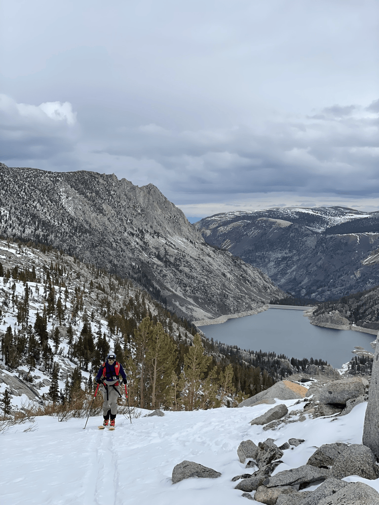
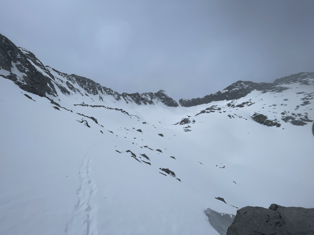
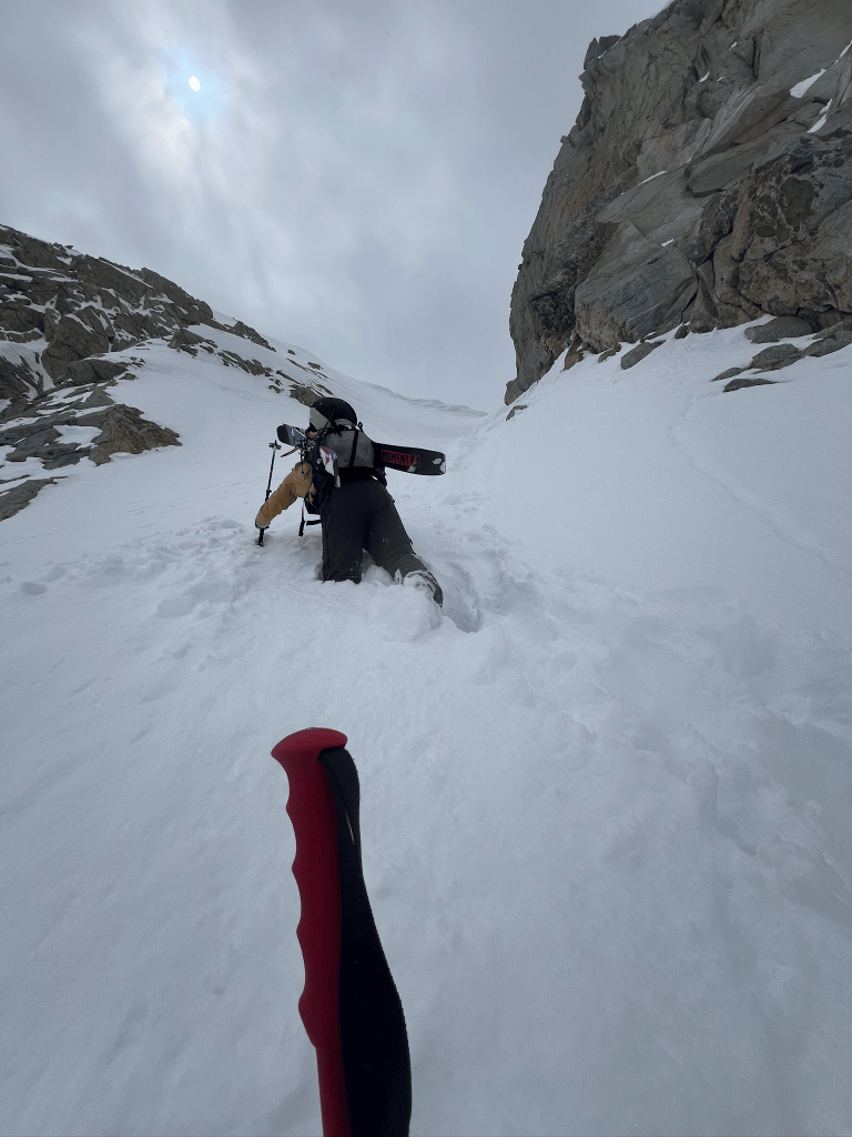
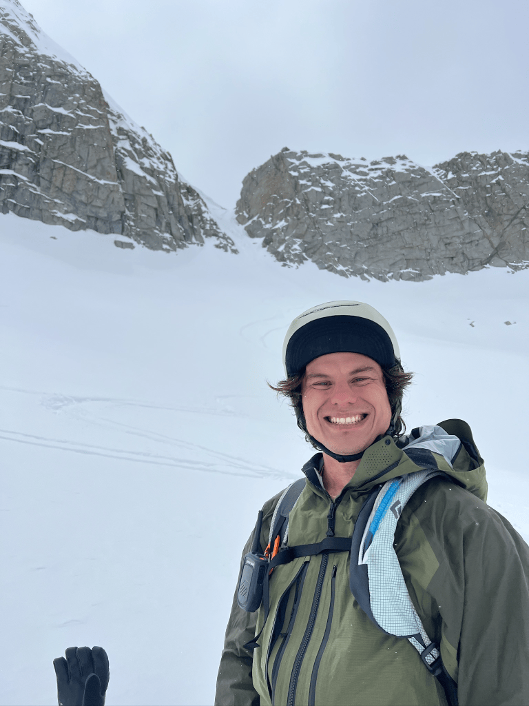
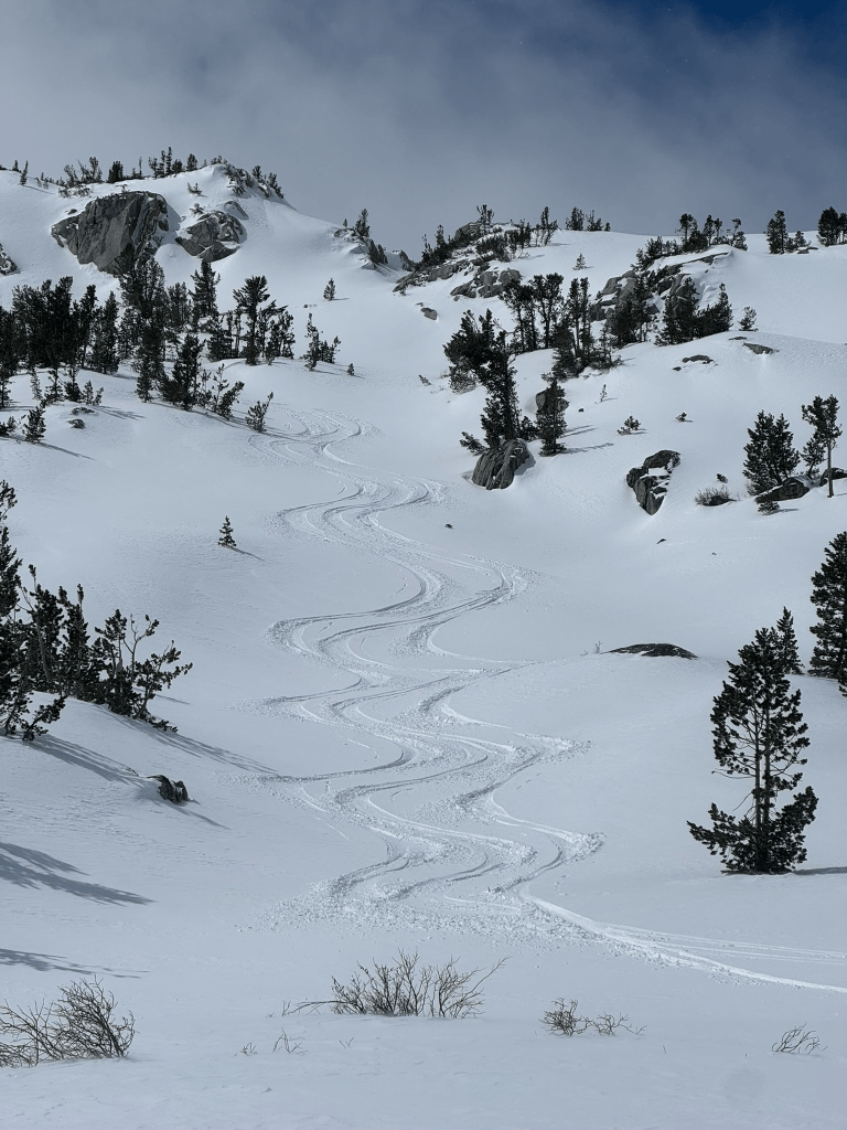
I took the first turn breaking trail and immediately realized this hike would be quite the slog. The snow was deep enough that gaining purchase for each step felt almost impossible. I would try to kick hard into the snow for traction but fall back to where I started if I bared any weight on the surface. With enough effort I could eventually get this technique to work and it made for very slow progress. Cam switched on after about a hundred feet or so and tried to dig out the snow ahead of him before each step. Either way was difficult and the gradually steepening terrain made for some disheartening climbing. After about 45 mins of high effort steps we finally neared the top of the couloir. It was pretty clear from our snow wallowing that the snowpack was solid. The new snow had no discernible discontinuity to that below it and temps remained quite low. Still I was pretty terrified standing at the top and looking at the runout below. My thought was to make a large snowcut at the convex rollover near the top then point the skis downhill and commit. Some thoughtful moments later and I made my way down. As soon as I made the first turn all my fears vanished away and I made some incredible turns on the way down. The slope was perfect for those big arching turns without any hesitation or speed checks on the way down. It almost felt like Starr Chute in Mammoth if it had better a bit longer and steeper. By the time I reached the apron I was hooting and hollering. We just got an incredibly lucky window in the middle of April to ski the steeps in perfect conditions. Cam followed next and styled the line as usual.
I was very tempted for a second lap, but we knew there was a small storm coming in that evening and weren’t prepared for another snow wallowing session with the time left in the day. Instead we took a fantastic descent through the series of huge snow bowls leading back to our initial skin track. The next day, Sunday, would be our last and luckily we had some snow forecasted through the night. My buddy Trevor was also in the area and was down to join us for some mellow powder laps. We woke up the next morning and geared up at the same trailhead as the day before. This time we were joined by a couple of locals who were also seeking to reap the powder from the night before. This time around we were not looking for anything crazy and opted to step into the same area as the day before. With some wind loaded and fresh snow, the options were pretty limited and we wound up staying in pretty low angle terrain at the base of the drainage. Although it wasn’t going to be the same epic descent as the day prior, we had a great crew and were ready to make the best out of the conditions. In all we wound up making three laps in this area and all got some great turns in. The new snow was probably only a few inches deep in this area but skied great. For me it felt like icing on the cake from a wild week of exploration in new terrain. I felt much more comfortable navigating this area and making the right call for the day. Next year when the opportunity rises I’ll be prepared to jump back into this terrain for some bigger objectives. The possibilities out in Bishop and the Eastern Sierra are endless and the best way I’ve found to take advantage is to simply ski as much as possible. Despite the number of days this year where I’ve found myself bushwhacking, crossing rivers, navigating heinous talus or boulder fields, I will never get tired of seeking out more terrain deep in the heart of the Sierras.
- “Corn” – soft spring snow that forms little balls which look like corn ↩︎
- The Cross Couloir is a prominent and steep chute directly below Mt. Tallac’s North Face ↩︎
- CalTopo is a navigation app that allows recent imagery of snowpack conditions through the Sentinel Satellite constellation ↩︎
- Prominent Carson Pass peak ↩︎
- “Skinning” – Ski touring involves walking up a slope with free heels and tractive, removable “skins” at the base of one’s skis ↩︎
- Mammoth backcountry zone ↩︎
- Bear Creek Spire Trip Report ↩︎
- “Storm Slab Avalanche” – Recent snow slides off old snow if consistency is mismatched ↩︎

