Category: Skiing

  • Volcano Season ’26

    Volcano Season ’26

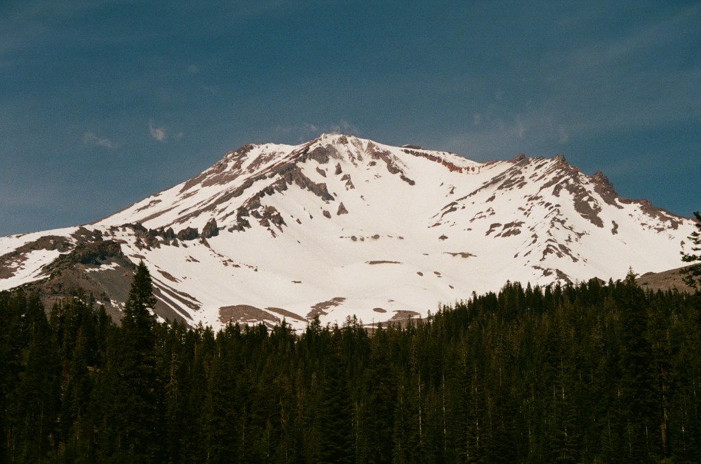
    There is something quite awesome about the end to each ski season on the West coast. Despite the bittersweet feeling of loosing the snowpack and feeling the incoming heat of summer, late spring has one last outpost of great skiing. Of course this is the great stretch of Cascade volcanos that stand incredibly prominent from Washington to Northern California. Once the roads open to each respective trailhead, access is granted to giant snowfields that remain somewhat skiable through mid summer each year. Days are incredibly long and the snowpack is generally very stable, making for excellent conditions to make big climbs and big ski descents. This year was no exception and I had my heart set on finally skiing one of the classics of California skiing as a whole: Mt. Shasta. This is the second largest volcano in the continuous United States and stands nearly 10,000 ft above the valley floor below. Its an incredible landmark and one of the most breathtaking views along highway 5 when driving north in the state. My old coworker Kyle and I had been meaning to ski together for a while and I immediately accepted when he asked if I was free to join his trip to Shasta in the Spring of 2026.
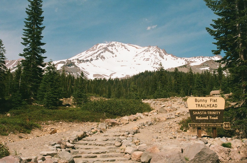
    Avalanche Gulch, Mt. Shasta

    Earlier in the year, a good friend of mine attempted Shasta on a weekend with a moderate wind storm. Given the mountain has such great prominence and is so close to the coast, it is known for some crazy strong wind and independent weather systems from the surrounding area. I backed away that weekend due to the weather and later heard he was struck by rockfall. Luckily he was wearing a helmet and had a great partner who successfully contacted a rescue team for a relatively quick exit. Regardless I was feeling incredibly cautious about our subsequent attempt and biased a conservative approach to conditions. Kyle and I agreed to attempt our summit on a Tuesday morning. There was a storm hitting the mountain over the weekend and ending Monday morning, so it was likely that the incoming high pressure would serve us well. Even then we also decided to get an incredibly early start to lower the likelihood of rockfall induced by the warming sunrise. So soon enough I found myself driving to Shasta with my new truck with an expected rise of 1 am the next morning.
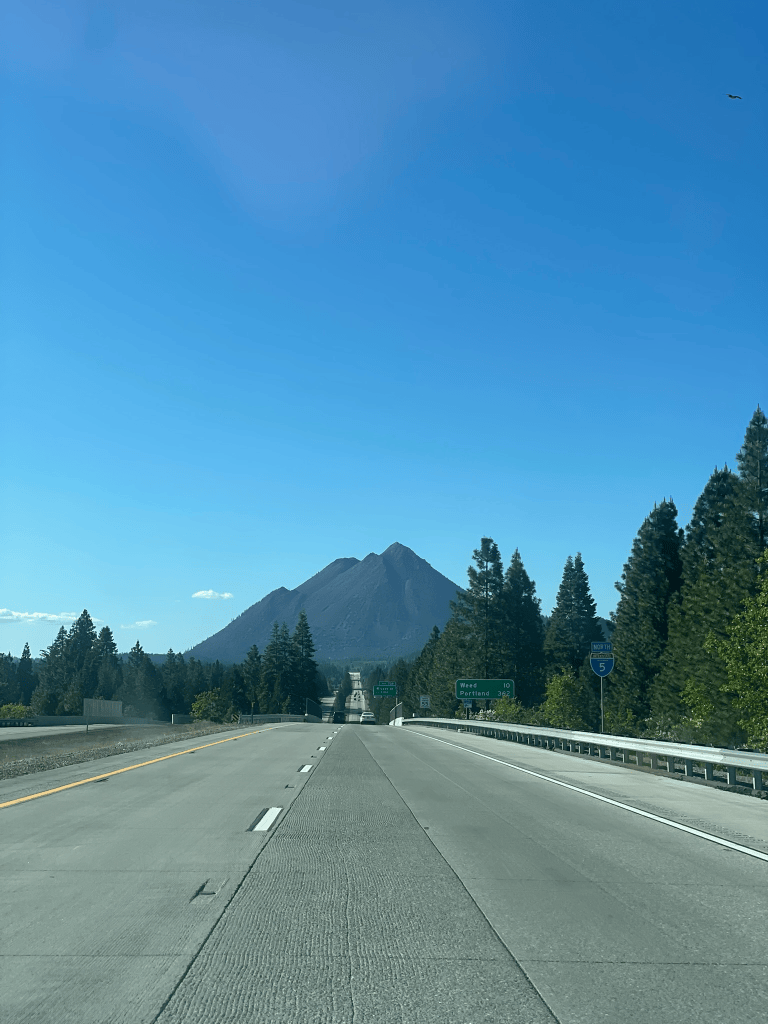
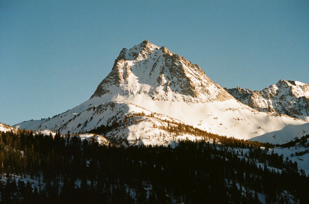
    View of Black Butte on the way to Shasta

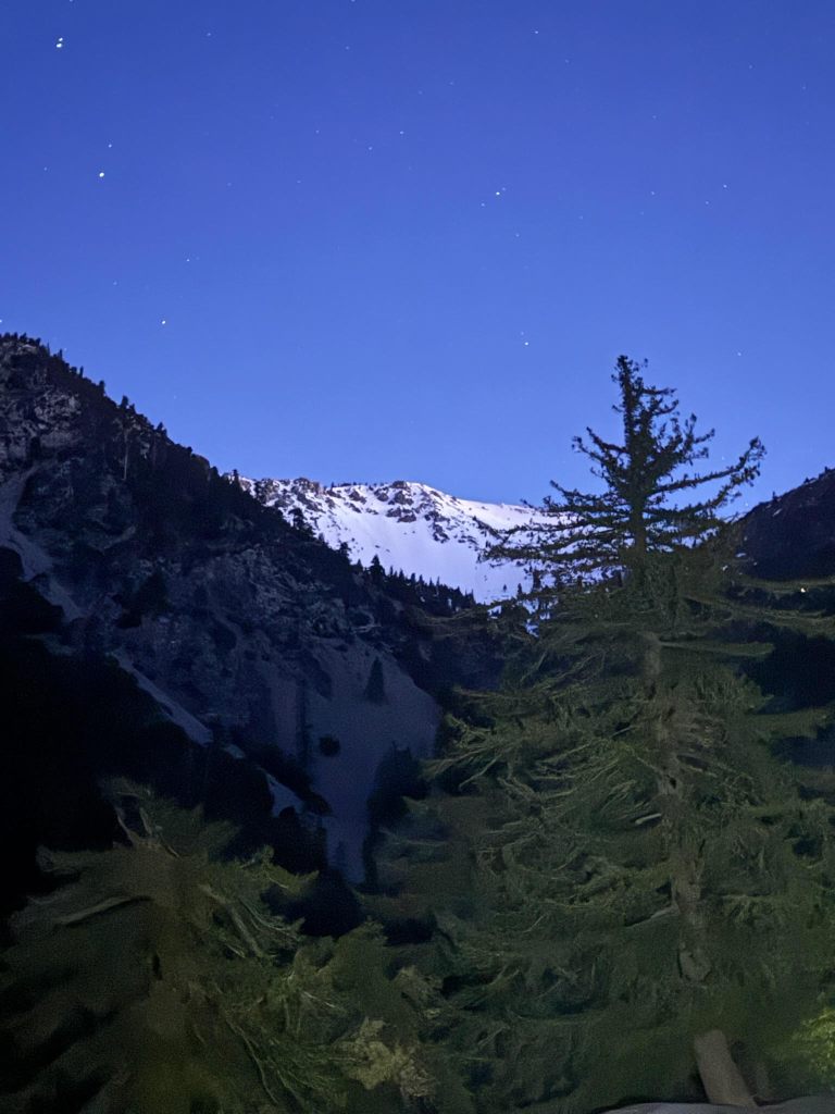
    Waking up is always painful for days like this. I had some breakfast and caffeine prepared but this did not mask the feeling of grogginess and pain that alpine starts bring. Still I felt incredibly excited for the day and it wasn’t long until I started the watch and began and hike up on foot. Our plan was to ascend the avalanche gulch up the south side of the mountain starting from Bunny Flats trailhead. Normally in May the snow line would start almost directly from the parking lot, but this time we had to hike in about a mile and a half to horse camp before reaching continuous snow. In the dark it felt pretty quick and I was putting on my skins less than an hour into our journey. Once we began our ascent above the treeline I began to see the sky in its full glory. There was no visible pre-dawn light, but the mountain was still lit from the stars above. We were blessed with a crystal clear sky and the milky way presented itself directly above the peak in the distance. Skinning up the mountain felt like I was standing in a giant planetarium with panoramic views of the night sky. Capturing this with a phone camera is futile and I knew I just needed to appreciate the moment.
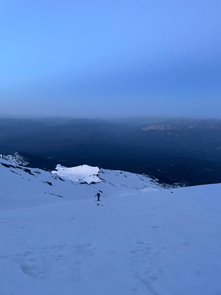
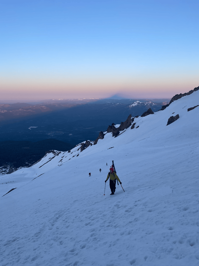
    Kyle making his way up at first light
    A large triangle shadow piercing the sunrise

    While Kyle and I basked in the stars, we were also making incredibly quick progress. Before I knew it the sun began to rise and lite up the valley below us. We were about 3 hours into the climb and nearing Helen Lake, the approximate halfway point in terms of vertical feet. The mountain created a crazy triangle shadow that seemed to tower and stretch far into the surrounding area. The light allowed us to really appreciate how far we were into the huge mountain bowl and we saw huge ridges on either flank shoot dramatically into the distance. Avalanche Gulch could be a ski resort of its own and I was feeling stoked to descend later in the day. Ahead of us was the real climb of the day. It wasn’t very technical, but would still be the crux in terms of sustained steep climbing and objective hazard. We were well prepared for this and quickly transitioned to our boot packing setup with crampons and ice axes. Our pace barely faltered and it wasn’t long until we approached the red banks rock band near the crest of the large south facing bowl. At this point I was starting to feel the altitude. We were at about 12,500 ft and we were both effectively coming from sea level the day before. I was in great shape, but my footsteps felt harder and my spirits faded just a little bit.
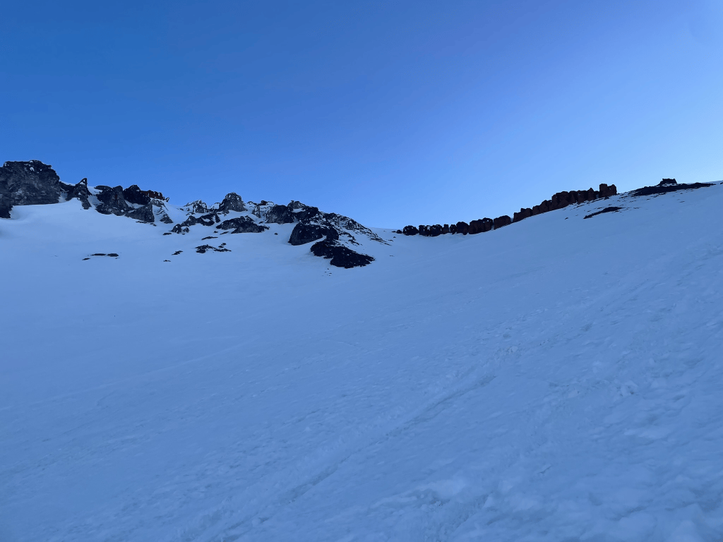
    Boot packing towards Red Banks

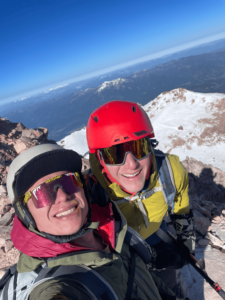
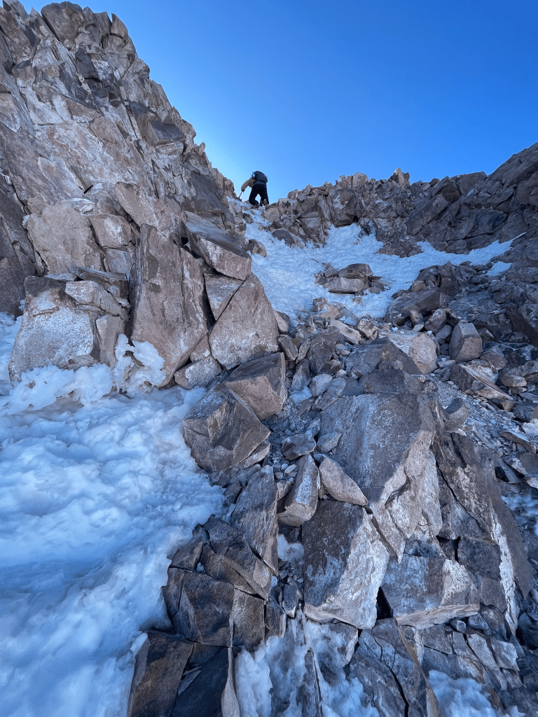
    There were only about 1,500 ft to go, but it wouldn’t be as easy as before. First we ascended heartbreak hill, a ~1000 ft subpeak that would bring us to the summit plateau of Shasta. It was only partially filled in with snow, so we trudged up it awkwardly with crampons still attached to my boots. By the time I made it up, I reluctantly agreed with the hill’s name and took a short break before the last summit push. Kyle and I agreed to ditch the skis right before the last little summit climb as the skiing looked obviously futile up top. We took a somewhat direct line up a chossy third class gully and then stood upon the summit boulder patch about seven hours after our early start. The views were incredible and made up for my altitude induced bad spirits. Kyle brought a nice photo of his late friends who had passed skiing another peak in the cascades. It reminded me of my friend who had also faced a tragic accident on the mountain. Its hard not to accept Shasta’s great spiritual influence on the surrounding people and land. I had a moment of reflection and was grateful that our experience so far that day had gone exceptionally well.
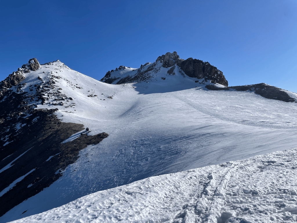
    View of the summit plateau from the top of Heartbreak Hill
    Scramble below the summit
    Summit Selfie

    After some mandatory summit photos and a brief snack break, we started making our way back down the mountain. We had summited quite a bit earlier than expected so we discussed waiting for a bit above the gulch to see if the snow would warm up at all before skiing down. Descending heartbreak hill still seemed like a slog and I was happy to sit down for a bit while we accessed conditions. I layed down in what I hoped would be a protected pocket of rocks above the gulch headwall but the wind didn’t really allow me to stay comfortable. Kyle took a little walk to see if there were any better spots and didn’t have much luck. After a measly 30 minutes or so we decided it would be best if we just started our way down and avoided any risk of clouds coming in to obstruct our view. Sadly this meant the headwall conditions were pretty horrendous. The slope was probably no more than 35 degrees, but a fall might be unarrestable in these conditions and would result in a very long slide down the mountain. This meant I was pretty puckered and made my first few turns very cautiously. Soon after we began we were also joined by a single skier who seemed to be more confident in his turns. Unsurprisingly this was not the right idea and one of his skis ejected after a bad turn. It just barely arrested itself as I caught up to it and he manage to get his skis on okay for the rest of the descent. As we continued down with him he explained that he was carrying a second set of skis on his back. Apparently these were left on the mountain from the storm over the weekend where another lone skier had left them in fear of being blow away from the high winds. I was lucky I was skiing with Kyle that weekend because of the countless reminders that many others on the mountain were not nearly as prepared.
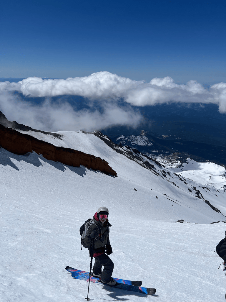
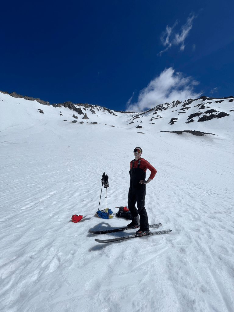
    Starting down the headwall
    Kyle back at Helen Lake

    Despite this rough start to the descent, the snow slowly started to soften up as we made our way down the headwall. After about halfway down I could finally gain some better confidence in my edges and began to open up my turns. Then I returned to that oh so familiar feeling of confident skiing. We still had about 4 or 5 thousand feet of descent and at the same time the altitude sickness began to fade. Soon I was hooting and hollering while making the big arching turns that I was hoping for upon our descent. Quickly we made it back to Helen Lake and took a quick pause to eat and chat about what was next. It was still pretty early in the day and the sudden access to oxygen made me feel awesome again. I was pretty stoked to continue skiing but Kyle and our new friend were less enthusiastic. Ultimately we agreed to ski down a little further and then consider making a second lap. The way down was fantastic and we were greeted with more soft corn snow for a couple thousand feet. We stopped just below 9,000 ft and then Kyle was convinced to join me on the climb back to Helen Lake. I had my heart set on making it to 10,000 ft of climbing for the day. This meant about another 2500 ft of skiing and I was feeling great in the beginning. My biggest hurdle at this point was fuel. Even though I stole a few snacks from Kyle and the solo skier, I was completely out of my own food. So for the first 1,500 ft or so I blazed up the mountain before slowly loosing some speed for the final push. Kyle slowed down and planned to stop at Helen Lake. I didn’t want to keep him waiting so I kept pace as much as possible and finally hit 10,000 ft at the start of the bootpack up the headwall.
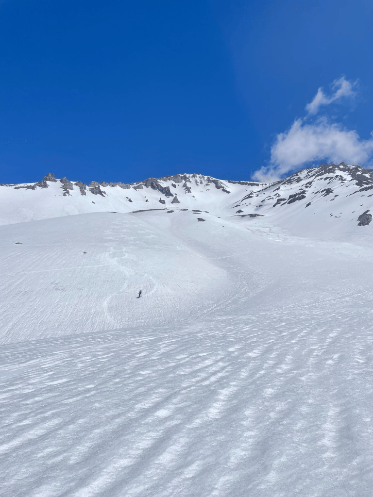
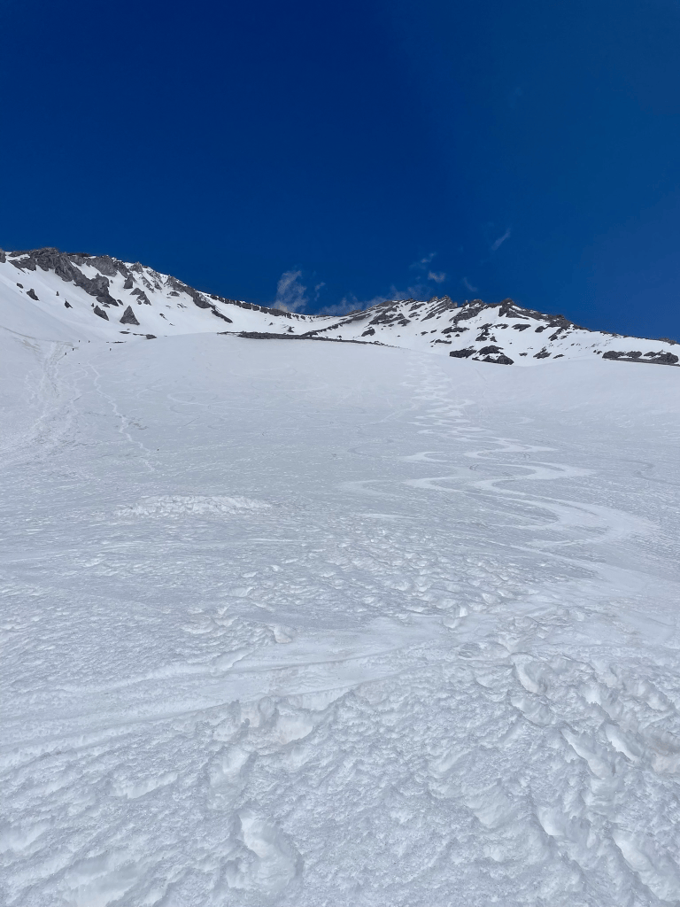
    Kyle making turns on lap 1
    Lap 2 turns

    I was now pretty tired and ready for the real descent back to the trailhead. While we made more fun and big arching turns down we passed countless hikers making their way up on foot. For all those moments I was increasingly glad that we were capable of making the journey on skis were the descent was vastly faster and easier. In fact we found ourselves back to Horse camp were we stashed our trail shoes within 10 mins or so of our Helen Lake departure. The day was absolutely fantastic and all we had left was a mile or two on foot with skis on our backs. One day I would have to come back to really ski the full 7,000 ft of descent from car to car. For now we trudged back to our cars still feeling incredibly stoked from the day’s success. From our cars we’d make it into town for some burgers and beers as expected. Kyle would have to continue his journey north towards Seattle. He would be meeting more friends to complete their annual ‘sea-to-summit’ adventures near Mt. Baker. For myself, I had debated making one last stop on the way back for the following day. The year before I had skied Lassen with another friend of mine and knew it would be in prime condition to ski.
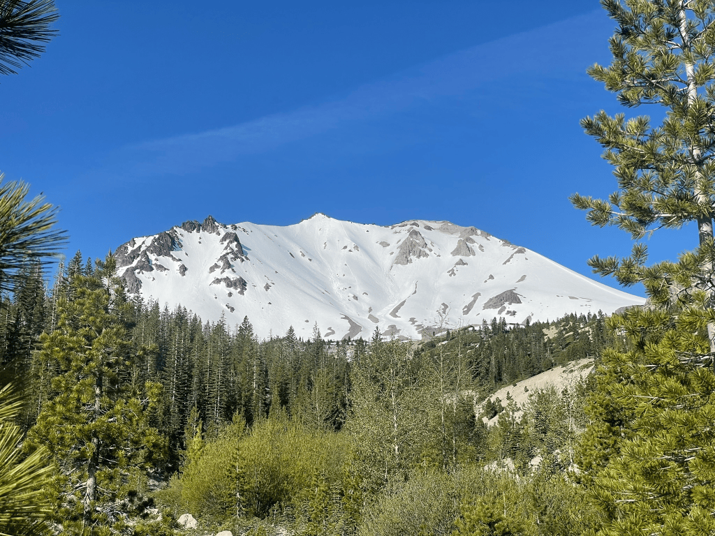
    Lassen’s North face from just outside the trailhead
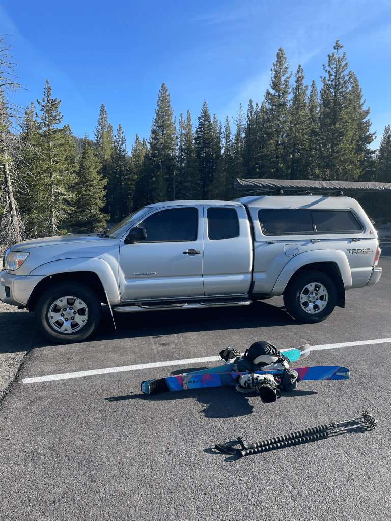
    Tacoma camper and the pack

    That night I decided I just had to make the side quest out to Lassen and found myself at the trailhead just before sunset. I was alone and knew I didn’t want to make a huge day out of it given the Shasta mission the day prior. Still I had a great night of rest and woke up around sunrise the next morning. Thankfully I saw another group of skiers arrive, which made me feel better about my trek deep into the area. I would be leaving from the Devastated Area trailhead on the North side of the mountain. It was a significantly better ski than the south side (which was also not open for cars yet) but required a longer approach and vertical. Sadly the snowpack was also horrible for the season and the trail in was incredibly dry. The year prior I had gone in the first week of June and only had about a half mile of dirt before putting on skins. This time around it was mid May and the hike in on dirt was about three times as long.
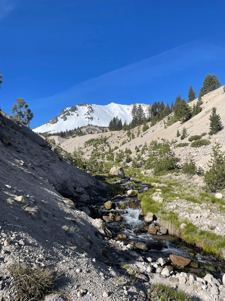
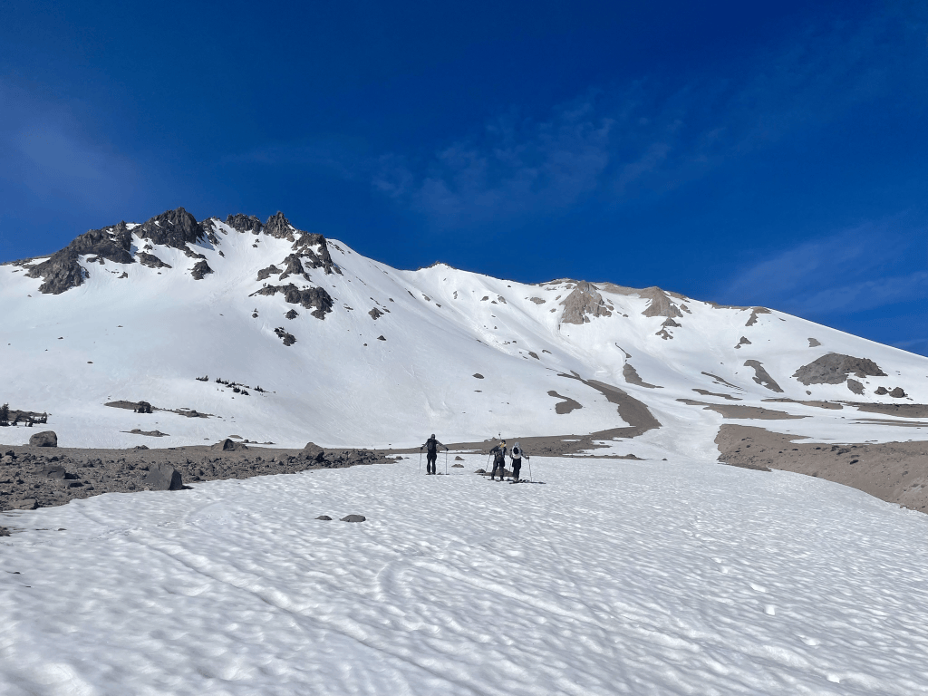
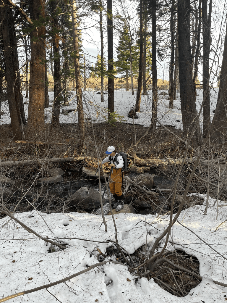
    Beautiful views of Lassen from the approach stream
    Catching up to the other group at the base of the mountain

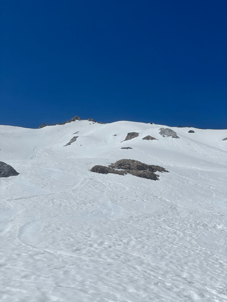
    I took my time getting ready and let the other group of three skiers get a 30 min or so headstart. I was in the mood to make this a quick mission and once I started off the trailhead I made quick pace. Unlike the year prior I almost immediately had to navigate a stream uncovered by the low snowpack. I was in trail runners and constantly had to cross either side of the water as I made my straight line towards the volcano’s north face. After about a mile and a half I stashed my shoes and skinned up the awkwardly off camber slope adjacent to the stream. Once I made it up to the end of the steam I saw the other group at about the same distance in as myself. I couldn’t help but feel a little competitive and motored up the skin track and towards the headwall. As I reached the start of the bootpack, the others joined and seemed to be having a great time. I took a bit longer than them as I strapped on a pair of crampons. Really this just made me faster and I sprinted up the slope to catch them. I had more than enough fuel in the form of nerd gummy clusters and didn’t let off the gas as I stamped my way up the headwall. Within an hour I had made it to the summit and widened the gap to my new friends. I don’t mean to be overly competitive normally but for being alone it made my ascent way more fun. After a few moments enjoying the summit I quickly skied down and said my goodbyes to the other group. I made it down to the transition spot within two pitches and no more than 5 mins.
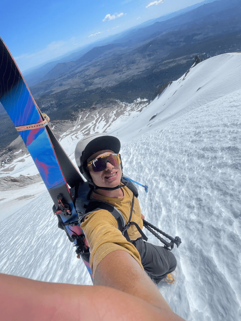
    Boot packing up the headwall

    On the way out I was feeling stoked and was almost running with my skis and pack bouncing aggressively on my shoulders. My goal was to make it back in three and a half hours total. I had some idea of distances to the trailhead from my watch but nothing exact. So instead I just went as quickly as I could, hoping over the stream many many times. By the time I finally saw the road I was in full jog mode and just barely made my time with a couple minutes to spare. The whole trip was probably equivalent to Mt. Tallac and I was super stoked with the pace and the great descent. There is something awesome about being able to move around the mountains incredibly quickly that makes the experience feel particularly rewarding. I’d have to come back in the future to repeat this effort and either loose some time or make more laps. For now I headed back to the bay feeling proud of the effort in the last couple days.
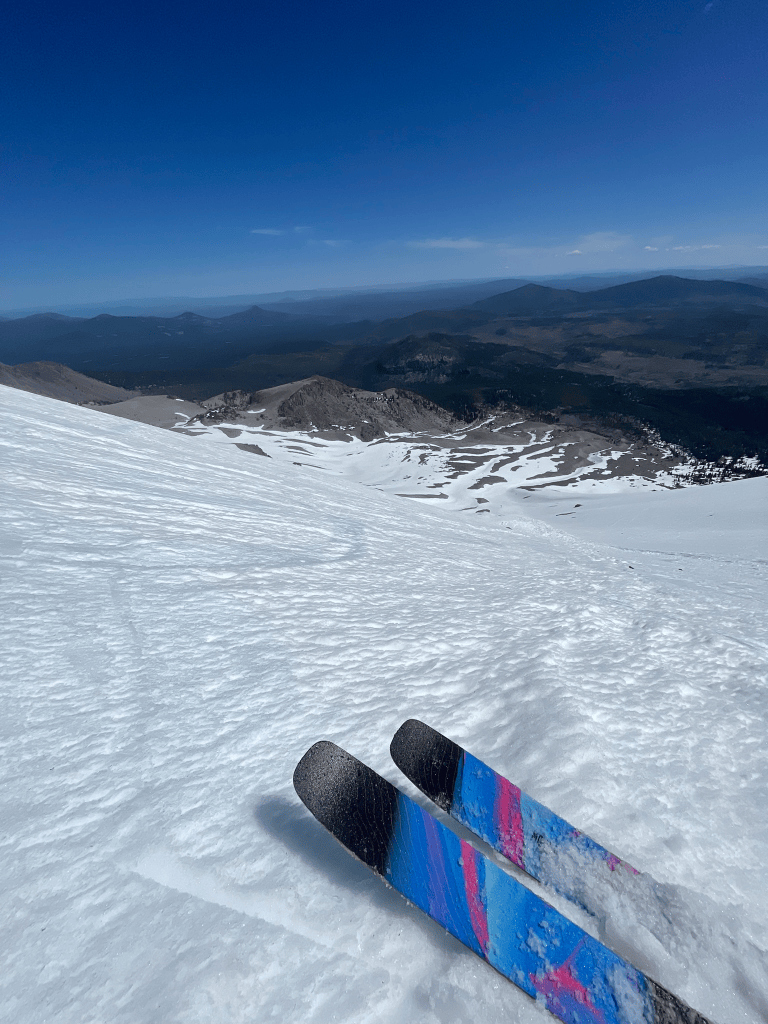
    Mandatory tip shot from the headwall
    Lassen remains one of the best spring skiing destinations

    Fast forward to nearly two months later and I found myself ready for one last hurrah of the volcano season. I was a little sad that I was not able to join another group of friends on their trip to Mt. Baker and Shuksan in June, so I did not hesitate at the opportunity for another cascade trip in July. My frequent climbing partner Joe organized a trip to Washington for several weeks and we put a group together to test our skills on Mt. Baker. Ultimately the group was thinking about a Rainier attempt and we all agreed that Baker was a great warmup. Unfortunately this group was not really experienced on skis, which meant I would find myself walking back down the long slope like the hikers I saw on Shasta. It would still be an epic adventure in the mountains, but even now I know I will need to go back to ski this volcano in the future. The season prior I also tried to summit and ski Mt. Baker from the Coleman glacier. I organized a group of friends to take a glaciated ski mountaineering course and we got some great skiing in despite the lack of a summit. This go around the road into the Heliotrope trailhead was washed out (seems like this will almost always be the case nowadays), which meant we’d have a better time ascending a different glacier and aspect.
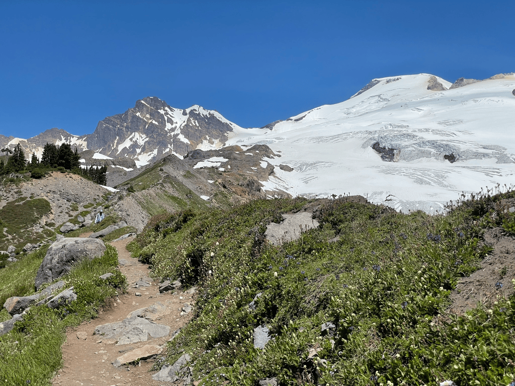
    The incredible Easton Glacier

    I met my friends this time around at the base of the Easton Glacier. The trail was well established and we were one of many groups that day ascending the mountain. We all had different experience levels and mainly wanted to test our glacier travel and rope skills. Two members of the group, Pranad and Kalari, both came in by plane and were newer to the sport. We had climbed the crystal range traverse as a group a few weeks prior so we all knew the dynamic before getting started. Baker from this aspect would be a really big day, slightly larger than Shasta. This meant that our wakeup time was a horrifying 11:45 pm. I got there early and managed to get nearly a full night of sleep. The others did not really sleep at all. Remarkably we all were awake at the right mark and the stoke of the group made up for the brutal alarm. The first stretch of the trail was relatively quick and uneventful. Usually its always pretty easy to strike off the first few hours of an adventure like this as fatigue doesn’t set in and excitement is high. Unfortunately Kalari was not feeling as good by the time we made it to the start of the snowfields. This was the last established camp and marked approximately a third of the way to the summit. We were making great time but there really was a ton of terrain left to go.
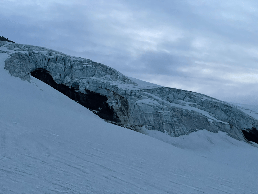
    Easton Glacier icefall with exposed bedrock

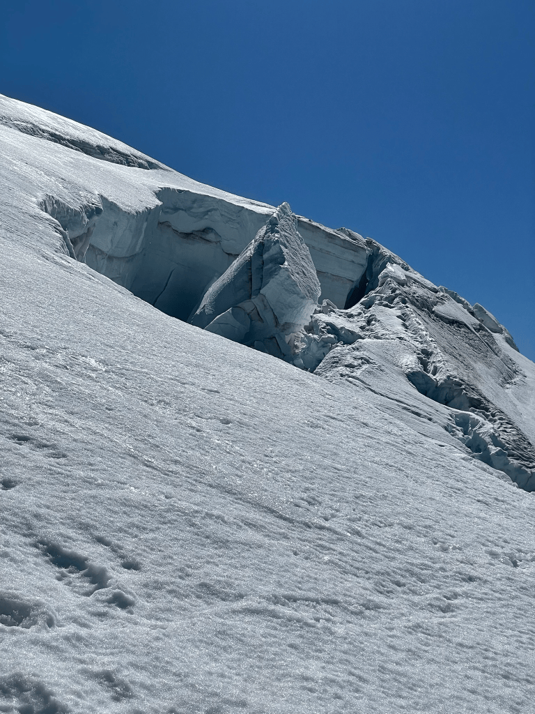
    Soon we were back on the ascent and began up the snowfield. There was about a thousand feet or so of some mixed snow and ridgeline before we met the glacier proper. By this time the light began to shine and we found a good spot to transition to our roped travel. In front of us was a massive icefall marking the toe of the Easton glacier. From the Instagram page of the Mt. Baker rangers I learned that the icefall had recently exposed bedrock. It was likely this bedrock had not seen the light of day for many thousands of years prior and it was quite sad to the the drainage below devoid of any ice. Seeing the massive cleaver of ice also reminded me of the severity of glacier travel. Once we stepped onto this ice there was real potential of us falling into a crevasse and needed to quickly jump into rescue mode. I had brought up route finding as one of my biggest worries for the trip and initially was nervous for our ascent past this point. However, as we started up it was pretty clear that this trail was well established. What I thought would be a field of cracks and snow bridges was more like any other trail we had seen that day. The majority of hikers attempting to summit this day were camping from the night before and were ahead of us on the trail. We simply needed to follow their old footprints and occasionally cross some well supported ice bridges over the glacier’s crevasses. While it was not necessarily the route finding crux I was expecting, I was somewhat relieved we would not have to face any real danger that day.
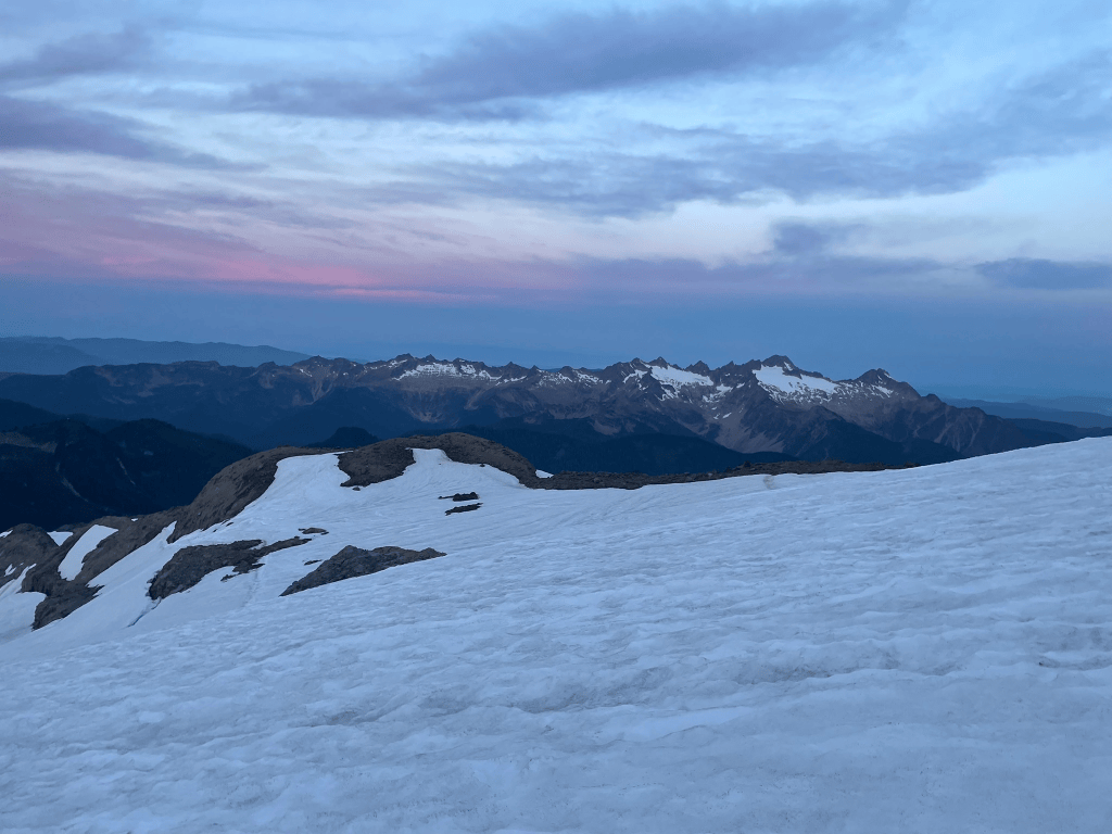
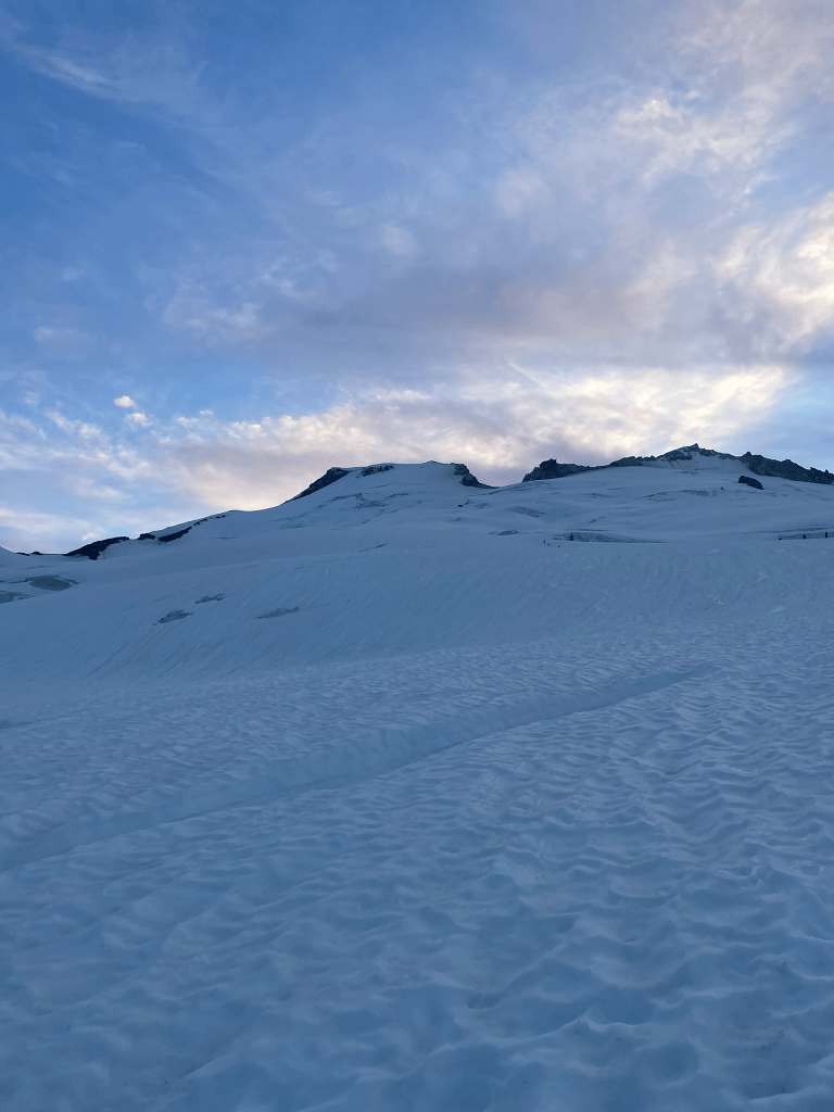
    Incredible sunrise views
    About halfway up the glacier
    Some of the larger crevasses on the ascent

    As the sun rose that day, we fell into quite a good rhythm. The weather was great, the route was easy walking, and we did not have much issue dealing with the ropes between us. Soon enough we made it to the base of the headwall and took a break to look into the massive caldera on the south side of the summit. Sometimes its easy to forget we are really on a volcano and times like this feel quite awesome. Clouds of sulfery gas bellow out of large fumaroles and jagged rock outcroppings line the rim of the volcanos crater. Pranad brought a film camera and captured some incredible shots of us while we caught our breathes for the last summit push. At this point there was only one or two groups ahead of us. The path was incredibly mellow and I definitely could picture myself skiing down the headwall in the future. Not long after we crossed the long summit plateau and basked in the glory of the true summit. The views were incredible as always and we all felt pretty good for the amount of terrain that we just crossed. To humble us for the day we also saw a trail runner casually tagging the summit in what he described as a routine 3-4 hour push. Then it was time for the slog of a descent back to the trailhead.
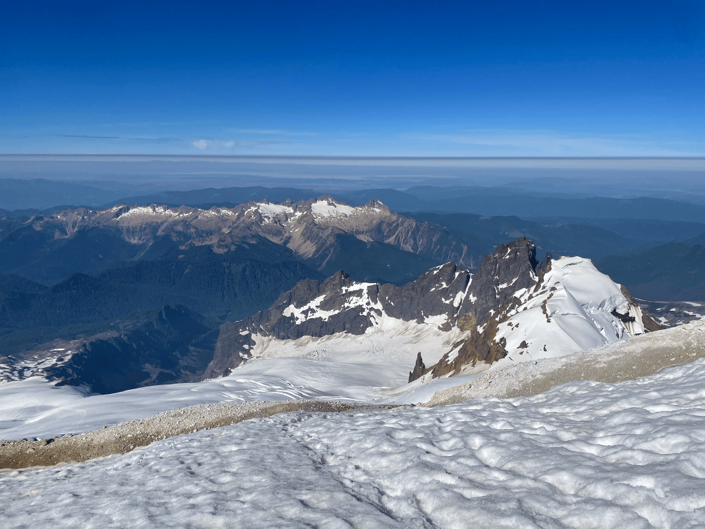
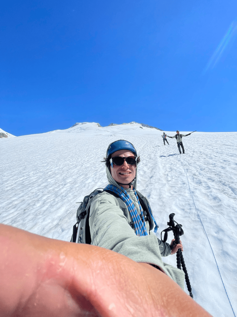
    More great views near the summit
    Roped up for the descent with patented carboard glacier goggles

    Our way down was relatively straightforward and we made quick progress of the snowfields. Passing other groups on the headwall was probably the most annoying part but we were not really in a rush. Eventually we were able to take off the crampons and half glissade half jog down the slope. We were still roped up but probably could have been fine without it. When we finally made it back to our camp I was feeling the fatigue start to set in. I was uncomfortable but at least could take in the spectacular views of the surrounding valley that eluded us in the dark on the way in. I knew that the trail ended on a prominent ridgeline but didn’t really understand how exposed it was until our descent. Green grass, wildflowers, and steep rocky walls lined the ridge on both flanks. A huge rounded valley stood as a monument to the glaciers former glory. Now there was a relatively small but rapidly flowing river sitting at the center of the cavernous and rocky drainage. As we descended we took in the views and trudged back down the trail. I felt pretty fatigued and knew that Joe & Pranad were feeling the same. It was just over thirteen hours by the time we finally arrived back at the trailhead. We covered many miles and nearly 8,000 ft of elevation gain for the day. I felt bittersweet on the summit knowing that I would like to come back and ski the mountain in better style for the future. Either way it was an epic day and a great end to the volcano season this year. I’ll be ready to come back year after year to continue skiing these mountains. Baker especially has much more to offer and I feel incredibly grateful to be able to share these experiences in the Cascades with a great group of friends.
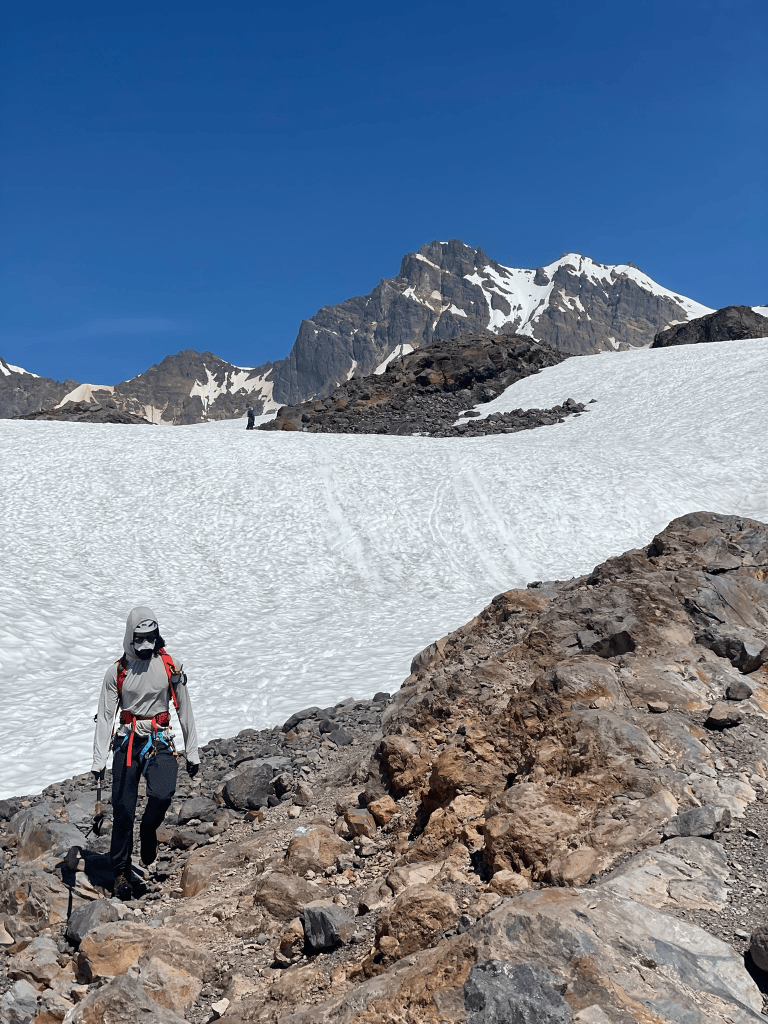

    Kalari reaching the bottom of the glacier
    More amazing descent views

  • March Rocks, April Pow – ’26 Spring Touring

    March Rocks, April Pow – ’26 Spring Touring

    After a long winter of traveling, my buddy Kyle and I arrived in March to find the Tahoe snowpack in dire condition. In classic Sierra fashion, snowfall had been limited to just three enormous dumps, leaving the rest of the season lacking. The last of the huge storms had blown by the previous week, gifting the locals and the hordes of Bay Area weekend warriors with two great powder days. But it had nearly all been melted by a spike in temps and ill timed rain. Neither of us mentioned this as we met up in Tahoe. Our stoke was endless and we were in search of the one positive left: early spring corn1.

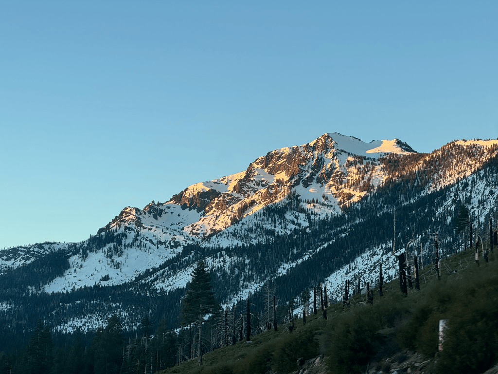
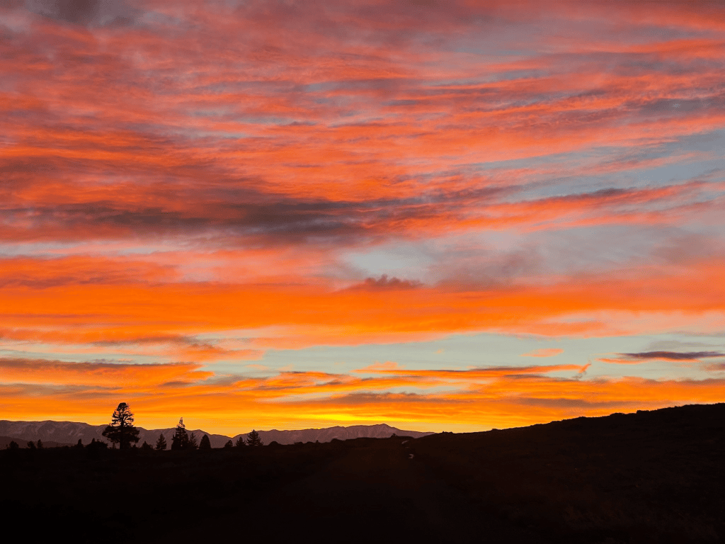
    Alpenglow on Mt. Tallac
    Low tide in the NE trees of Mt. Tallac

    Corn in the Sierras is fickle. The search for it can be even more tricky. First we would need to find large southern aspects. Then our arrival would have to be timed precisely. Too early and the snow would still be frozen from the night before. Too late and the sun would microwave the snowpack into wet slush. Finally once we stepped off the trailhead there would be endless bushwacking. We knew the deal and were willing to pay the corn tax. Our first mission was to a zone unknown to us on Tallac. In winter, we’d skied this route from the standard ascent, the popular NW trees bowl. This new zone was a small bowl on its opposite face. With the extra sunshine we got a relatively late start and began up the access road with little issue. The snowpack was just high enough to skin from the road and it wasn’t long until we found ourselves on the summit. On the way south towards our bowl we even peeked into the ‘cross couloir’2 to see some mountaineers scrambling up. One day it would be awesome to ski this steep, technical line, but it was nowhere near in condition. Pushing on, we found ourselves on top of the bowl overlooking Fallen Leaf Lake. The West Lake Tahoe scenery was spectacular as usual. But the continuous winds and exposed headwall of the bowl proved to kill any chance of corn up high. We still made the best of the first thousand feet or so before getting consolation corn further below.

    View of the Desolation Wilderness from the summit of Mt. Tallac
    View of Lake Tahoe from the summit looking NE
    Top 1000 ft of the South facing bowl

    What we didn’t quite expect was the rapidly approaching bush and treeline down low. The south aspect had much less snow in comparison to the north side we ascended. Kyle and I shouldered the skis and reluctantly began the mile or so bushwack traverse to the north side. The slog through the dense forest served as a subtle foreshadow for the rest of the spring season. We had to hike up steep dirt, plow through dense bush, and transition a handful of times. We made it back to the car with relatively low effort, but it was still a poor showing for the beginning of March. By the time we got back we were already scheming what was next for the following day. Despite the amount of Tahoe terrain with snow, cover was thin and we were focused on maximizing our corn skiing without traveling for endless miles into the backcountry. After some research we landed on three options. We could head way out into the desolation wilderness, stay close by to lap the south facing chutes on Jake’s, or head way south for big terrain in the eastern Sierra. Kyle had just subscribed to the relatively new Sentinel satellite imagery subscription on CalTopo3, which conveniently showed us the snowpack from an ariel perspective. With mapping tools, guidebooks, and recent images from space on hand finding the best terrain felt like cheating. It was then that we spotted a huge 2000 ft south face on the backside of Carson pass in relatively good condition. This area in South Lake and the Kirkwood backcountry was a tad higher elevation than what we had been skiing. It also was only a couple miles from route 88, which makes for a pretty tame approach into our zone.

    Beautifully clear day with a view of Round Top on Carson Pass
    Another day we will ski the Crescent Moon Couloir

    The next morning we were up early once again and started up the skintrack for a bigger day in the backcountry. There were a few people scattered around the main trail on Carson Pass, but we quickly found ourselves alone once we crossed over the Roundtop4 ridgeline. The South Face was our target and dropped off two thousand feet to the valley floor below. Our timing was great and it was about 10:30 in the morning when we dropped in for lap 1. The top 1000 ft this time was spectacular and lead us down a large face before bifurcating into drainages below. The gullies were a tad more involved and required some short downclimbs through rock steps and bushes. Despite this we still made it all the way to the valley on snow and we both thoroughly enjoyed the soft spring corn. After a short break we turned our heads to see the massive sun exposed face looming before us. The goal was now to climb back up and it would surely be a slog. We took turns leading up the face and I struggled to maintain a grip while skinning5 the first few hundred feet. The sun was unrelenting and we kept to the ridges to stay clear of potential rockfall when we could. After about an hour we still had quite a bit of climbing to go and wound up boot packing the top 1200 ft or so.

    South face of Round top on the left, West face on the right
    The south face looked much better from above than below…

    Once we got back to the ridge we were split on the next lap. There were some north facing chutes that had potential, but without knowing the exact conditions we both agreed they were probably too spicy for the day. Instead we opted for the adjacent and massive West facing bowl, which clearly still had corn left intact. Luckily for us, our party lap down this face was a blast. There were tons of small rocks to jump off and the snow was perfect for big and fast turns. We quickly transitioned at the bottom and made a short hike up to the ridgeline around the next peak. By this time it was getting late for any more corn and we opted to made the long traverse back to the trailhead. Although it was still a slog, the area was gorgeous and there were tons of people out exploring this massive zone either skiing or hiking. That afternoon we headed back to the city feeling great. From our perspective it was time for spring in the Sierra to shine and expected lots of corn in our future. Little did I know this would not turn out to be the case just yet.

    West face was much more filled in

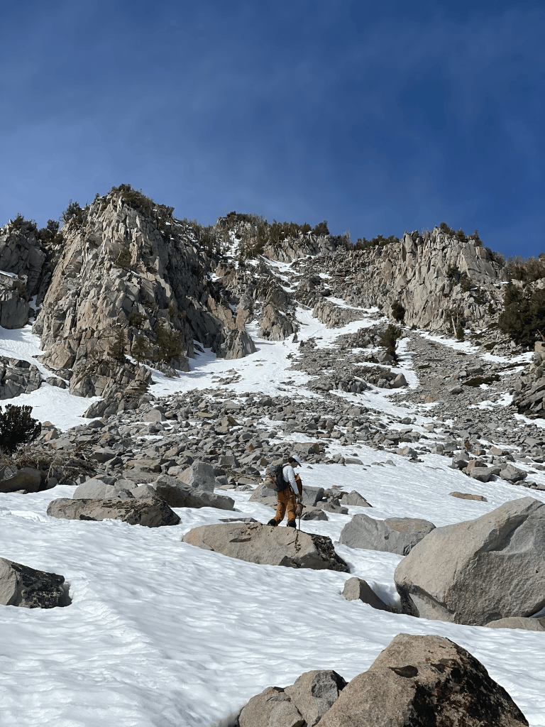
    The next couple weekends passed with poor snow and a busy schedule. Then I ran into an unexpected change in pace. I found myself out of work on the third week of March and suddenly wanted to take advantage of the free time with dedicated travel and skiing. I had already planned on taking a trip out to Mammoth with some friends and immediately got on the road. The conditions weren’t ideal but I knew that the Eastern Sierra would always provide. My buddy Devin was the only one willing to explore that weekend and we opted for a local zone after some late night debate on what to ski. Without much knowledge of the area, we began the approach to the Valentine Cirque6 early on Saturday morning. Similarly to Tallac the week prior, we quickly realized the first 1000 ft or so would be on dirt. It was still early so it didn’t really phase us and we trudged through some incredibly annoying melted out terrain. As we got further and further into the zone we continued to cross streams and transition frequently. The usual winter approach led us into a nasty exposed and barren south face downclimb. Devin’s initial carefree attitude began to slowly erode and we couldn’t even see our objective yet. I knew at about 10,000 ft there was going to be great snow and access to a huge cirque with many lines to ski. Before we got there was still another 1000 ft or so of horribly thin terrain below the tree line. And then we arrived at the crux: a half mile of boulder hopping topped with a foot or two of thin snow bridges.

    Incredible sunrise in the Sierra
    Snowpack as of March 21st is in dire shape
    Not a great look for south faces

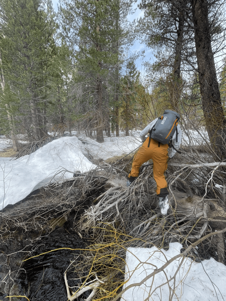
    The boulder field approach proved to be particularly challenging to cross. Snow bridges would occasionally give way to deep and hidden cracks. I found myself precariously dancing between these snow bridges while desperately trying to minimize transitions. Devin followed behind me and found himself falling much more often into bridges that were weakened by my first crossing. As the minutes progressed, our progress did not advance significantly and Devin was starting to lose patience. If we continued to the cirque we would almost certainly be back to town after dark. At some point during my delusional rampage through the boulders I looked back to see Devin getting frustrated. We then reluctantly decided to head back. Our potential backup was a climb up the nearby ‘Banana’ chute. By the time we arrived at the base, we still faced countless more snow traps and stream crossings on increasingly wet snow. Eventually Devin’s frequent plunges through the thin snow made his left skin fail completely and we both fell into a state of laughter in self pity. The chute was not going to happen and we basically had the worst approach of all time just to hike back out. As we frequently say, this would fall into the ‘high effort, low reward” category of spring skiing. And so we took a few turns on the way out in wet snow before making the long hike out through mostly dirt and forested trails. Despite the horrendous conditions, the story of the day was a hit with the rest of the group and we laughed off the disaster of a tour as an adventure anyway.

    One of many shitty stream crossings
    A broken man
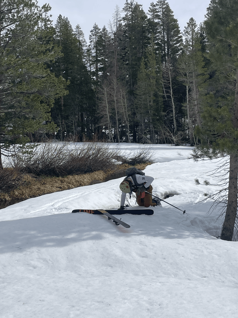
    Devin officially at one skin down

    As the spring progressed I swore off corn skiing until the higher roads of the eastern Sierra allowed for better access up high into the mountains. Skiing was still possible, but would require some pretty gnarly hiking through endless mixed terrain. And so it wasn’t until April that I began to organize the next big trip out east. By this time I was lucky enough to stumble upon a great deal for a camper style truck. My uncle was selling a built out Tacoma with a bed and storage perfect for Sierra dirtbagging. For the first trip I convinced some friends to join me out in Bishop to take advantage of fishing season. ‘Merry Fishmas’ week in particular was a hysterical Bishop tradition coinciding with our journey. It took place around the opening of several access roads to high alpine reservoirs neighboring Aspendell where fish were stoked. While most were there to catch stocked trout, my friends and I would take advantage of trailhead access at 10,000 ft in the high sierra. With the recent funemployment I drove out for the whole week and was prepared to scout terrain as much as possible before the weekend.

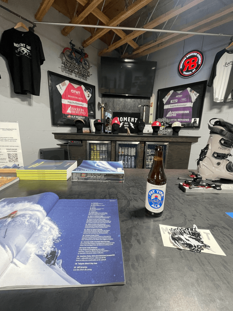
    Excellent trip to Moment’s headquarters in Reno
    Reno, NV shot on 35mm film
    Passing through Bridgeport on the way to Mammoth

    To start things off I headed to Tahoe to pick up some new skis and enjoy a rare April storm in the resorts. As abnormally hot and dry March was this year, April seemed to bring a second wind to winter. I was lucky enough to reap some of this new snow during a morning visit to Mammoth mid week. It was the first time using my new Moment Wildcats and I headed directly to chair 23 for the goods. I happened to ride up with two locals who were feeling generous and brought me to the hard-to-find Starr Chute tucked around the Paranoid Flats area. By the time it was my turn I managed to get fourth tracks down this awesome stash of powder. Not only was it the perfect christening for the new twigs, but it also hinted at what April had in store for us this week. After another couple laps with the locals, we departed ways and I headed back to the truck to scope some backcountry lines. First up was Rock Creek, one of the handful of roads that rose to nearly 10,000 ft up in the Eastern Sierra. I had climbed Bear Creek Spire from this drainage the previous fall7 and knew there had to be some incredible terrain back there. As soon as I parked I immediately ran into some locals who spotted my skis out of the trunk. Pointing over to the slopes to the North, they told me of some skin tracks that would lead to a great spring skiing gully. I was solo and only had a couple of hours, so I got a quick move on and eventually found their tracks out to the zone.

    Looking deeper into Rock Creek were endless options for skiing

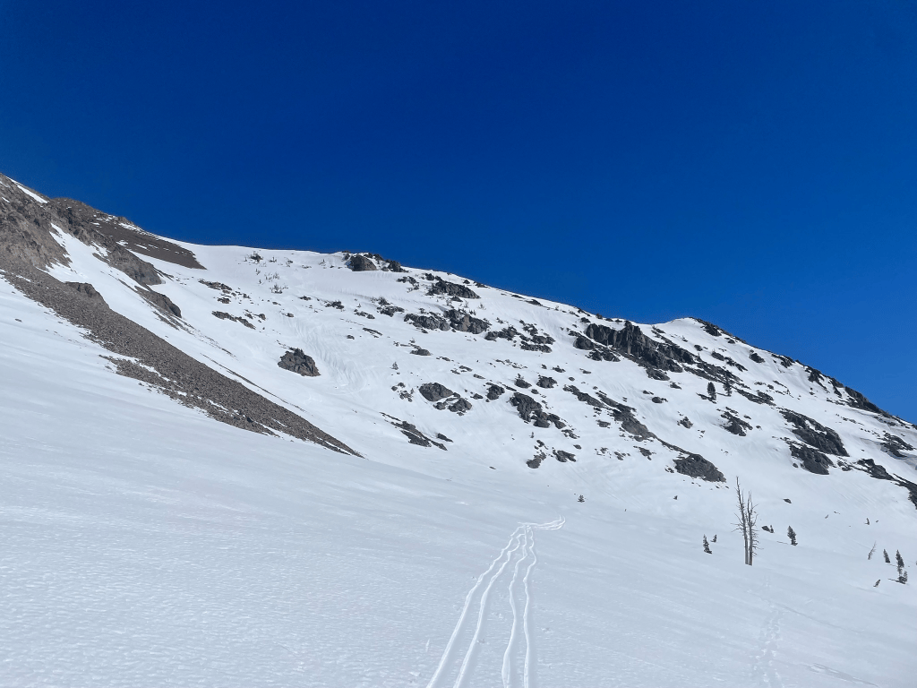
    I don’t really like touring alone, especially when there is new snow involved. But this time I felt pretty comfortable in the terrain and spotted a cool looking ramp in the distance. I knew that we would be eyeing north facing couloirs this whole week, so this would be a great opportunity to scope out the snowpack in this type of terrain. Unfortunately for me, the snow pack was pretty horrendous. I was at about 11,000 ft or so and the older cold snap had frozen a thick layer of ice beneath the recent storm snow. There was definitely a potential for a slide so I stuck close to the rock wall adjacent to the ramp. Once I finally made it up to the top of the line I scoped out the rest of the canyon. There were plenty of great lines in condition, but all the approaches looked especially heinous this time around. The last thing I wanted was a repeat of the last Mammoth experience. So then it was time to ski down and I started very slow. Standing on a subtle ridgeline I peered into the ramp. I tested the snow with a turn halfway into the ramp a small slab8 immediately broke off and tumbled down the ramp. I knew this was a possibility but it was spooky for being alone and exposed in this zone. Mentally I took note of the poor avalanche conditions and made a quick descent back to the car. One day I’d love to made it back to this canyon for a proper ski adventure but for now I struck it off the list. Next I needed to find a zone that had easy access to high elevation.

    A lone ramp off Rock Creek’s access road
    Looking down the ramp, pre-slide

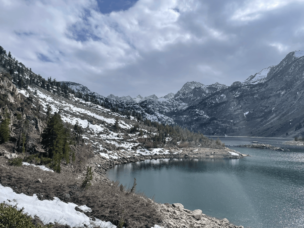
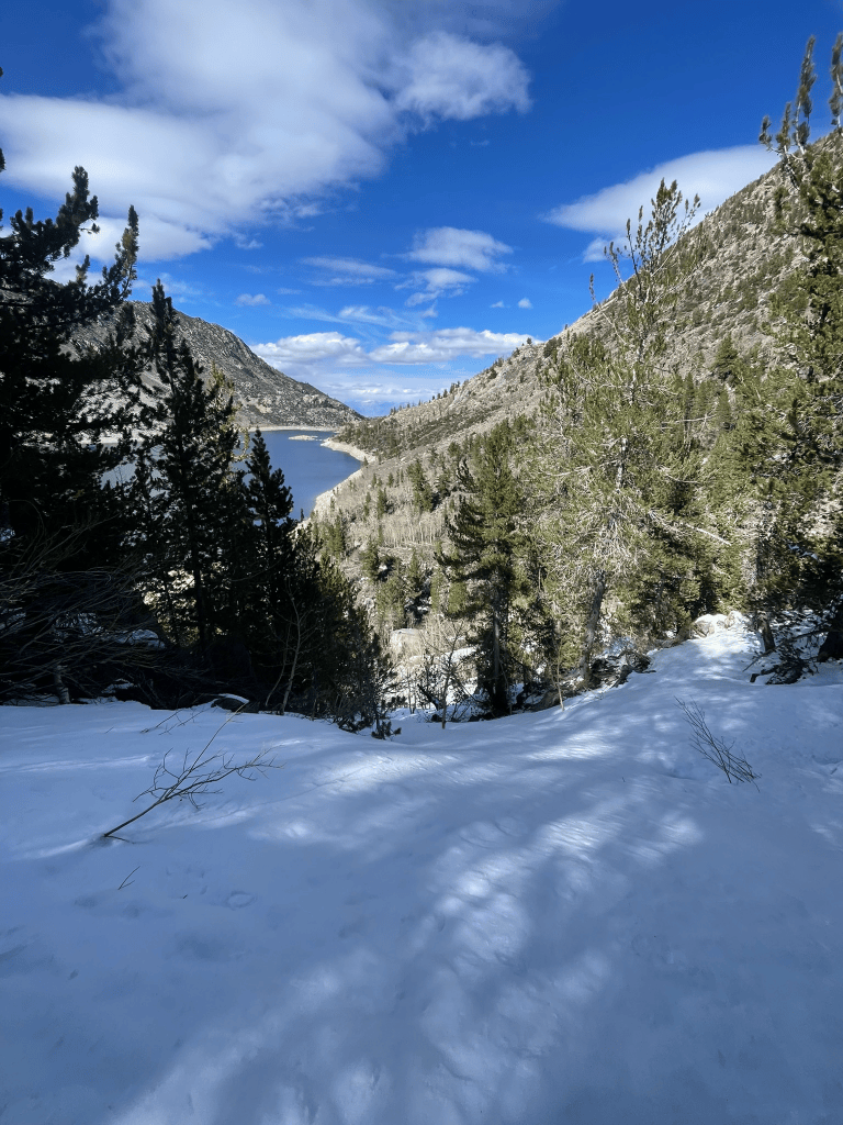
    The next day I headed south for bishop to do some more scoping. The roads up to North, South, and Sabrina Lakes had just opened for Fishmas and I wanted to peer into each. North Lake was first, but looked like the canyon was pretty flat and dry. It was the highest of the three lakes and had some crazy terrain hidden far into the canyon but was too much for this trip. Instead I headed back to Sabrina in the middle of the fork and took off on the trail with my skis. Again there was some great terrain hidden back into this drainage but I found myself hiking endlessly in my boots. What started on a nice dirt trail eventually became off camber talus that clung to the edge of the lake. Although I could see snow in the distance this slog was quickly depleting my stoke to hike any further down than I needed to. When I finally reached the end of the Lake I was pretty fed up and eyed a small patch of snow on the opposite aspect from me. However, I first needed to cross a rapidly flowing river that emptied into the tail end of the Lake. For about ten minutes I tried desperately to find a good group of rocks to hop over but kept on turning around. Eventually I ripped off the bandaid and took off my boots. I’d have to walk through the shallow exit and dry off my feet as best I could for the way back. At this point it was almost as comically bad of a tour as I had with Devin back in Mammoth.

    The long and dry talus approach of Sabrina Lake
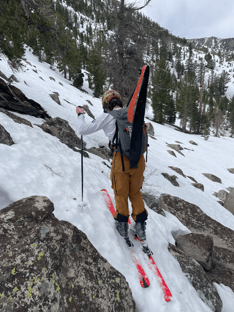
    “Skiing” above Sabrina Lake

    The other side of the drainage wasn’t much better and I bushwhacked straight up the hill for a meager 7 or 8 turns. Similar to Rock Creek, this area was kind of a dud for quick access to the high alpine. There was one lake left and I only had time that night for a quick excursion. As soon as I pulled into the South Lake trailhead I knew it had potential. From a little rock outcropping near the parking lot I could scope out the area with nearly 360 deg views. To the left was the strikingly prominent Mt. Hurd. It’s obvious North face looked like it was only a mile or two from the parking lot despite towering above the lake below. A few others had skied it in what looked like incredible style: just a handful of turns screaming down the fall line. To the right was a massive bowl sitting in front of Mt. Gilbert. Most of these peaks were about 13,000 ft and the approach started off with what looked like a reasonable trail. The most obvious line was a short north facing couloir hanging at the col of Mt. Gilbert. Given the ski tracks nearby and high elevation I knew this is what we needed to ski the next day.

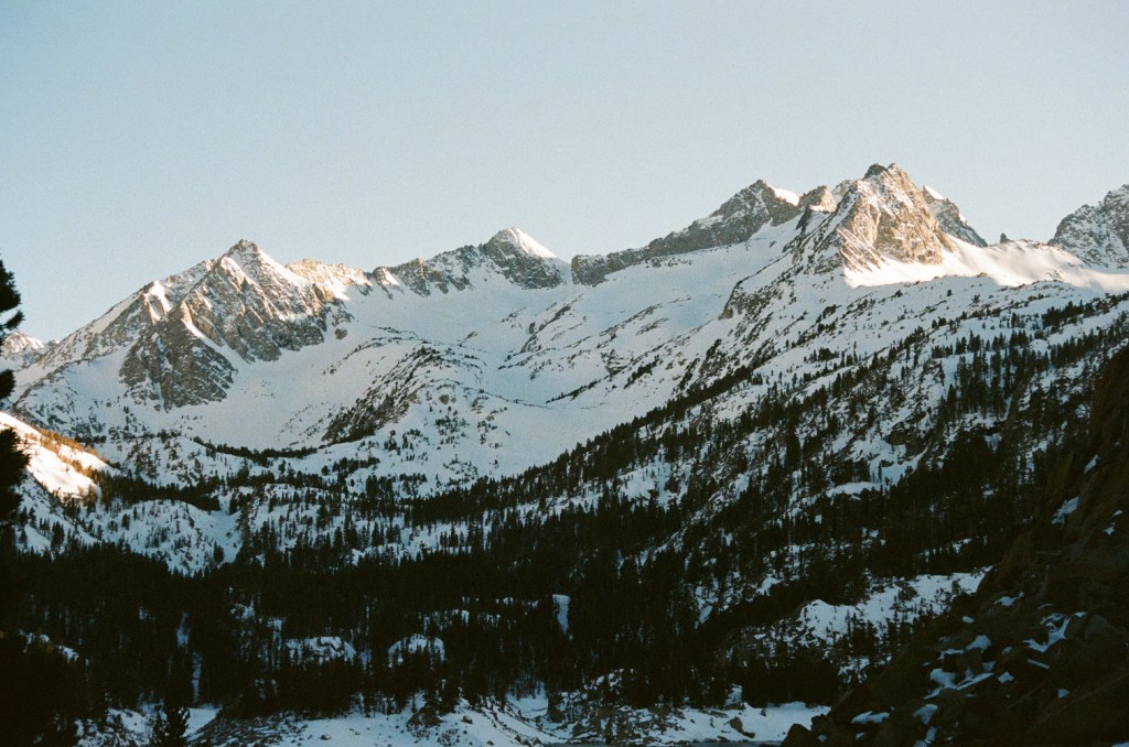
    The prominent Mt. Hurd
    A large alpine bowl above South Lake, centered is our short north facing chute

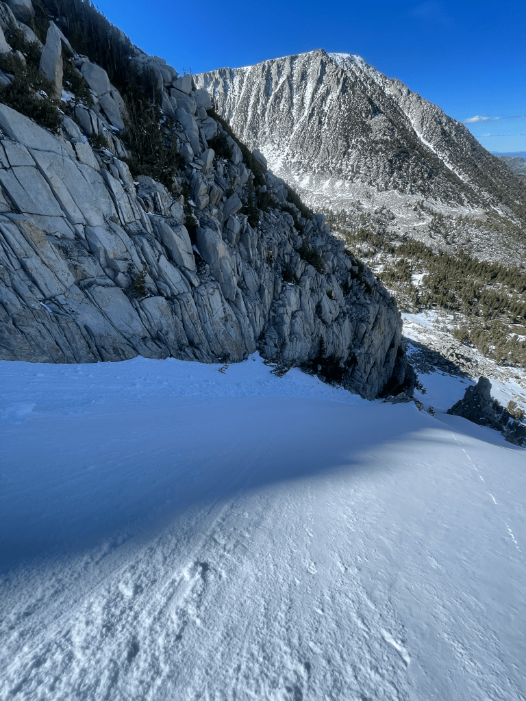
    That night my buddy Cam arrived and we discussed the objective a bit further. The original idea of this trip was to snow camp, but we didn’t get quite enough people on board due to the cold and windy conditions. Instead we’d get up for a reasonably early start and make a day trip to the Gilbert col chute we saw from the trailhead. Thankfully I was right about the trail and it was only about a half mile until we could put on our skis. The skin track wasn’t perfect and we did need to transition a few times. But this was a breeze compared to the last few missions I’ve been on and could not complain. Soon enough we hiked up the first bowl and could clearly see people had been here recently. Down low there was only a dusting of snow from the last storm but it slowly creeped up in depth. Once we made it to about 12,000 ft it was also more clear that the old snow had not fully thawed in the warmer weeks of March. This transition point was a stark contrast to the sketchy ice layer I experienced in Rock Creek. As we continued up the bowl we became increasingly confident of snow conditions and were rapidly approaching the couloir. When we finally got to its base we took a quick break and got ready to boot pack. At this elevation there was a ton of new snow. This natural chute collected a ton of snow and was probably about 40 deg or so in slope angle.

    Cam skiing above South Lake
    Looking up into the Alpine Bowl North of Gilbert

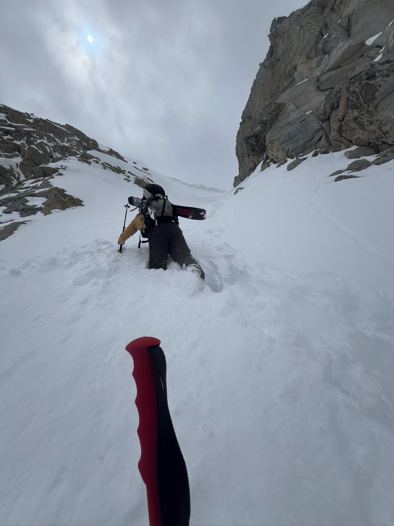
    I took the first turn breaking trail and immediately realized this hike would be quite the slog. The snow was deep enough that gaining purchase for each step felt almost impossible. I would try to kick hard into the snow for traction but fall back to where I started if I bared any weight on the surface. With enough effort I could eventually get this technique to work and it made for very slow progress. Cam switched on after about a hundred feet or so and tried to dig out the snow ahead of him before each step. Either way was difficult and the gradually steepening terrain made for some disheartening climbing. After about 45 mins of high effort steps we finally neared the top of the couloir. It was pretty clear from our snow wallowing that the snowpack was solid. The new snow had no discernible discontinuity to that below it and temps remained quite low. Still I was pretty terrified standing at the top and looking at the runout below. My thought was to make a large snowcut at the convex rollover near the top then point the skis downhill and commit. Some thoughtful moments later and I made my way down. As soon as I made the first turn all my fears vanished away and I made some incredible turns on the way down. The slope was perfect for those big arching turns without any hesitation or speed checks on the way down. It almost felt like Starr Chute in Mammoth if it had better a bit longer and steeper. By the time I reached the apron I was hooting and hollering. We just got an incredibly lucky window in the middle of April to ski the steeps in perfect conditions. Cam followed next and styled the line as usual.

    Snow wallowing our way up the chute
    Stoke levels were high after the descent

    I was very tempted for a second lap, but we knew there was a small storm coming in that evening and weren’t prepared for another snow wallowing session with the time left in the day. Instead we took a fantastic descent through the series of huge snow bowls leading back to our initial skin track. The next day, Sunday, would be our last and luckily we had some snow forecasted through the night. My buddy Trevor was also in the area and was down to join us for some mellow powder laps. We woke up the next morning and geared up at the same trailhead as the day before. This time we were joined by a couple of locals who were also seeking to reap the powder from the night before. This time around we were not looking for anything crazy and opted to step into the same area as the day before. With some wind loaded and fresh snow, the options were pretty limited and we wound up staying in pretty low angle terrain at the base of the drainage. Although it wasn’t going to be the same epic descent as the day prior, we had a great crew and were ready to make the best out of the conditions. In all we wound up making three laps in this area and all got some great turns in. The new snow was probably only a few inches deep in this area but skied great. For me it felt like icing on the cake from a wild week of exploration in new terrain. I felt much more comfortable navigating this area and making the right call for the day. Next year when the opportunity rises I’ll be prepared to jump back into this terrain for some bigger objectives. The possibilities out in Bishop and the Eastern Sierra are endless and the best way I’ve found to take advantage is to simply ski as much as possible. Despite the number of days this year where I’ve found myself bushwhacking, crossing rivers, navigating heinous talus or boulder fields, I will never get tired of seeking out more terrain deep in the heart of the Sierras.

    Skinning back up to the bowl
    Neat and tidy laps in pow
    Mandatory group selfie on the exit lap
    1. “Corn” – soft spring snow that forms little balls which look like corn ↩︎
    2. The Cross Couloir is a prominent and steep chute directly below Mt. Tallac’s North Face ↩︎
    3. CalTopo is a navigation app that allows recent imagery of snowpack conditions through the Sentinel Satellite constellation ↩︎
    4. Prominent Carson Pass peak ↩︎
    5. “Skinning” – Ski touring involves walking up a slope with free heels and tractive, removable “skins” at the base of one’s skis ↩︎
    6. Mammoth backcountry zone ↩︎
    7. Bear Creek Spire Trip Report ↩︎
    8. “Storm Slab Avalanche” – Recent snow slides off old snow if consistency is mismatched ↩︎
  • Risks and Rewards – Tuckerman Ravine

    Risks and Rewards – Tuckerman Ravine

    Ever since I’ve heard about Tuckerman Ravine and its renowned spring skiing I’ve wanted to plan a trip out to the White Mountains. Photos of its steep and exposed headwall look nothing like typical east coast glade and tree-cut skiing I was used to. A successful spring excursion and descent of the ravine seemed like a right of passage for those growing up in the area. Despite trying on several occasions, I was never able to get an outing out of the planning stage while I attended college relatively nearby in college. Unexpectedly an opportunity arose nearly 3 years after graduating when a spring reunion coincided with a great Friday opportunity to complete the Mt. Washington trek. Soon enough I flew out to Boston and made my way up to a friend’s cabin in nearby Franconia, NH.

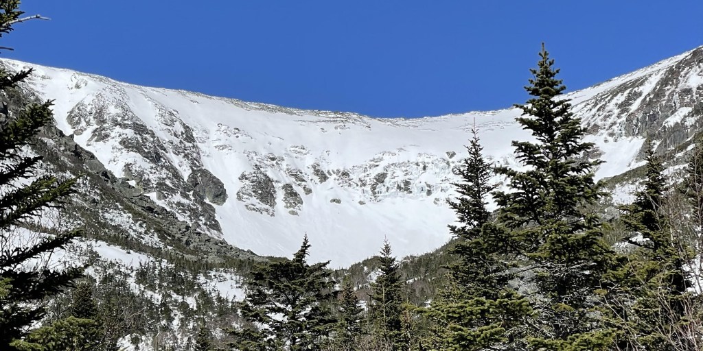
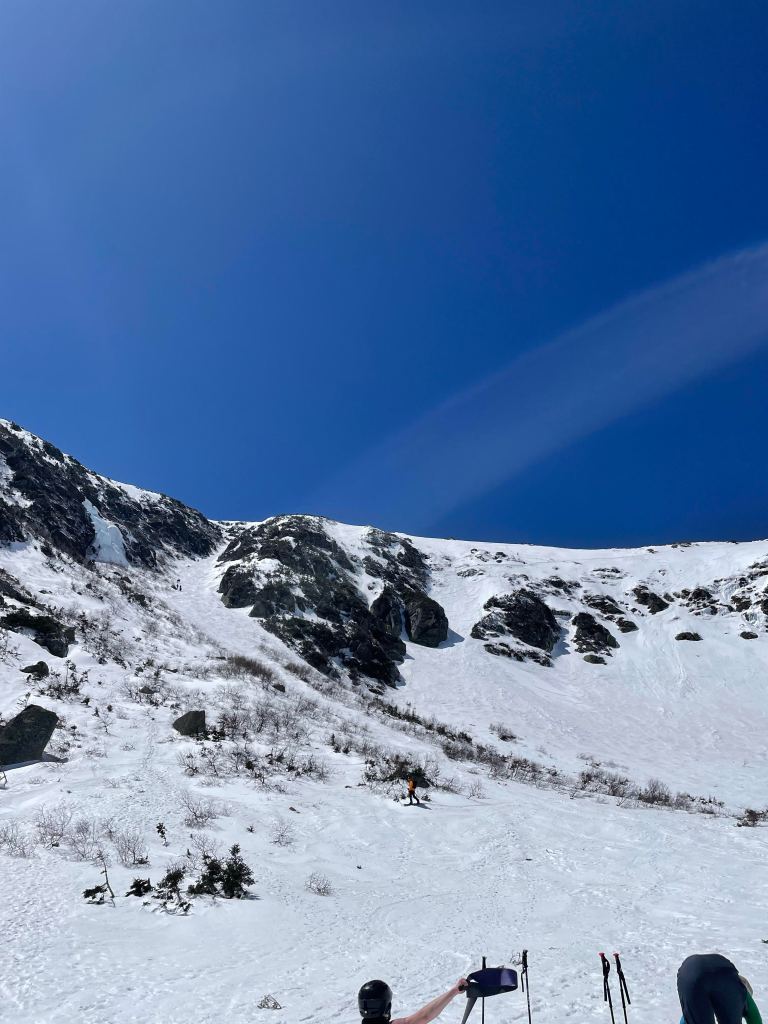
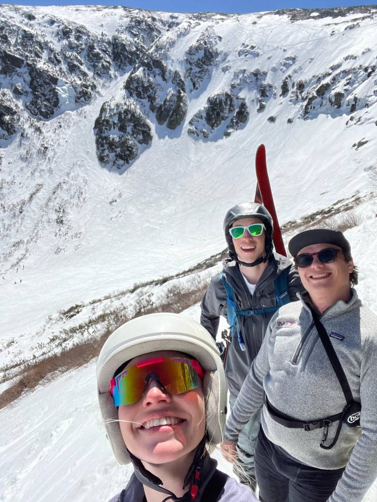
    Tuckerman Ravine viewed from Pinkham’s Notch, April 26th, 2024

    It was at the cabin that my friends and I started scoping out our lines in more detail with the help of “Best Backcountry Skiing in the Northeast: 50 Classic Ski and Snowboard Tours in New England and New York” by David Goodman. We figured the slope angles boasting 55+ deg headwall lines were quite sandbagged, but it put some fear into our minds while we still could enjoy the comfort of the cabin. This was the first time I would be putting myself into a true “no-fall zone” as most of the headwall required skiing above some massive cliff bands. At the time I knew my friends had skied the ravine once before, so I figured they could take some pressure out of the potentially terrifying descent. What I didn’t know at the time was that they both didn’t climb and ski the headwall itself, making our upcoming trek new terrain for us all.

    Power outages are no excuse for a lack of research

    Mt. Washington is most famous for its extreme Winter weather and highest peak of the American Northeast. Its not until the spring season that its two approach headwalls make for some fantastic ski descents. On April 26th, the three of us made our way from the Pinkham Notch trailhead to the base of Tuckerman’s Ravine. Starting off around 8 in the morning, we first hiked about a mile with skis on our back before transitioning into skins. Another mile or two went by before we made it to a cabin near the base of the ravine, which was packed with other skiers hungry for spring turns. Grace and Devin had both skied here before, which made me feel pretty good about spotting some crazy lines on the bowl visible from the base cabin. Although these looked pretty doable from below, I knew that this headwall was no joke. Looking at the guidebook the night before, most of the prominent descent options were above 50 degrees and very exposed – a fall would likely send you over the center cliff bands and be fatal. Knowing this should have been the first warning sign, none of us had arrest devices (an ice axe) and only myself had steel crampons. Grace had micro spikes and Devin had plain old ski boots, which are both wildly far from comfort when climbing 50+ degree snow.

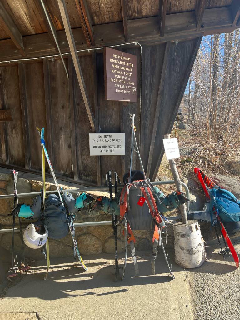
    Mandatory gear photo
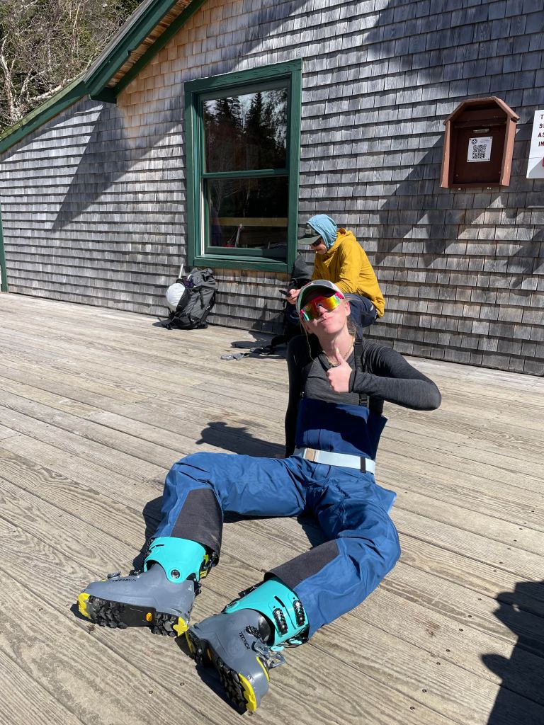
    Grace post hut refueling, ready to gain some vert

    Despite our lack of preparedness, we were super pumped up to begin our climb and knew we could turn around if things got hairy. For our first ascent we chose to climb straight up “The Chute”, which was a well defined and classic descent on the left side of the headwall. Starting from flat bowl basin, the slope rose immediately to about 30-40 degrees as we booted to a resting point underneath the rocky chute choke. We could see the steep main ascent and planned our route along the mostly defined boot pack on our right. The bootpack then traversed across the chute and onto a perch before we reached the main ascent exposure for another check in. At that point, Grace and Devin had barely made it across, evident of their gear failing to work at this slope angle. While we had recognized the rest of the slope was only steeper and likely not doable, I had agreed to move forward and dig a larger bootpack with my steel crampons into the snow ahead. At that point, I had all but committed to the full ascent due to the risk downclimbing and slightly better gear. However, Grace and Devin were in pretty poor shape. Deciding to turn back around, they slowly made it back to our first resting point with only a small slip in arrestable terrain. I could just barely see them on my ascent, but knew we had narrowly avoided a potential slip in exposed terrain.

    View at the base of the headwall, with the Left Gully and the Chute most prominent

    Now climbing solo, I followed another climbing up the bootpack with increased apprehension. Falling at this point was not an option and I only had non-arrest ski poles and crampons to aid my ascent. Instinctively I knew the best way to continue was to stay calm and avoid panic. Loosing composure in that area would likely require a rescue and would only make my fear and risk worse. A healthy dose of adrenaline also helped, as I nearly sprinted my way up the steepest section of the headwall and into the rocky ridgeline ahead. The climber I had followed transitioned near me and gave me some reassurance that the ski descent would be possible, despite the incredibly intimidating rollover visible below. I gave myself probably 10 minutes at the top of the headwall to calm down, sip some water, and transition into my ski gear. The whole time I was on a relatively mellow slope prior to descending, but was on edge due to the strict no fall zone until I was about halfway down. Finally I began moving downhill on skis slowly, the whole time looking for tracks leading to the chute below. I was looking for a dogleg underneath a small cliff band, which traversed to the top of the line. Most of the way this was relatively mellow, but required one hefty turn at the steepest point and over the main headwall exposure. Inside I was terrified, but was able to keep my composure and move past the cliff band into the main portion of the chute. At this point I was incredibly relieved to make it past the no fall zone, but still had some crazy steep skiing ahead of me. I probably waited another five minutes or so to muster up courage before committing to the line. It was my first time experiencing sizable slough, small & loose avalanches that followed my turns across the chute. Despite this adding to the pressure, I made it down unscathed and felt incredible to have made it down the apron. At this point Grace and Devin had made it up to the top of “Left Gully”, a more mellow but still 40+ degree slope on the far left of the ravine. I sat by some rocks and watched their fast paced and mogul filled descent through the gully before meeting up with them at the crowded resting spot below.

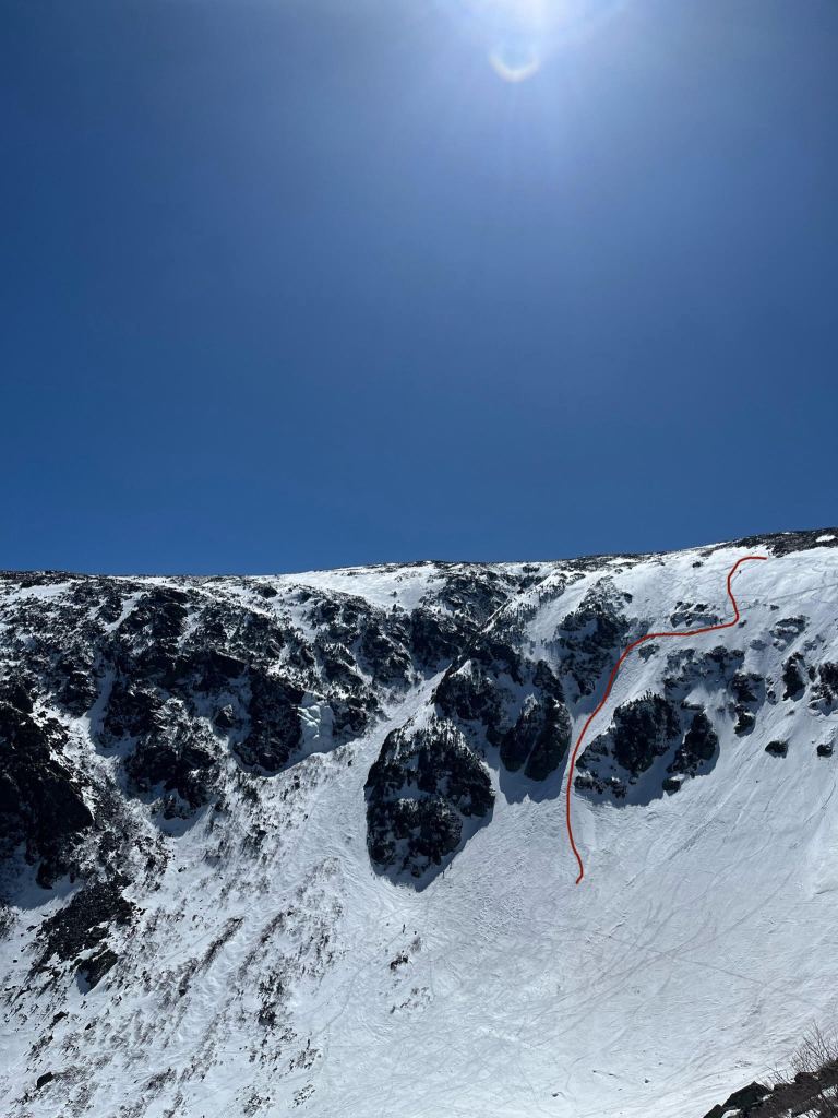
    Ski descent of “The Chute” on the left side of the ravine headwall, upper dogleg is between 50 and 55 degrees

    Once we all made it down we celebrated the successful journey through the ravine. All of us had some great skiing despite the turnaround for Grace and Devin. I felt particularly glad to have kept my composure and executed some high consequence skiing. We drank some beers and made our way to the “Lobster Claw” for a last half lap and mellow bump skiing before our final transition on the way down. Overall the day was an absolute blast having skied with great conditions and weather. Stoke was high all around and we were able to witness some much better skiers than us rip lap after lap on the most technical ravine descents. Even our way down was great, the Sherburne trail was filled in for most of trip back to the trailhead (although we definitely met quite a few dirt batches on the way). When we finally made it down, we all felt completely spent and were excited to make our way back to Boston for the night.

    Grace, Devin, and myself (from left to right) at the midway point of the “Lobster Claw” and overlooking the previous chute skiing of the day

    Tuckerman Ravine can be relatively low risk if climbed and skied correctly, but we learned a crucial lesson about planning and preparation for this go around. Any ascent above 35-40 degrees really requires crampons, and any ascent above exposure really requires an arrest device. Moving forward we all have invested in gear that will make our future travel more safe and now know to be more mindful of researching beta prior to packing our final gear for a trip. Normal backcountry risks did not feel high during our approach and ski descent due to the good weather, snow conditions, and trail popularity. But in this case it was the terrain itself that carried high consequences. Keeping a level head and stopping when necessary was what kept us safe that day.

  • An Introduction – Mt. San Antonio

    An Introduction – Mt. San Antonio

    Skiing and outdoor adventures have been a part of my life as long as I can remember. Growing up on a small lake on the east coast meant tons of winter ice skating and sledding, with weekend trips to our local Jersey ski resort for good measure. Since then I’ve slowly ventured into skiing and hiking bigger and bigger mountains, gaining a taste for more ambitious adventures. Now that I have a full time job, I have the money & desire to tackle some bigger challenges while having a blast skiing. This is also the purpose of the blog I’m writing now: to bring life to a journey of experiences in the mountains as I develop with them.

    Myself a few years ago at Aspen Highlands, about to ski the bowl

    So why ski mountaineering? From my perspective, this is one of the most exciting ways to elevate my love of resort skiing, while challenging myself to learn new skills, improve my physical fitness, and find others who share my passions. I’ve also been inspired by the incredible feats of ski mountaineers in the modern ski touring & cinematic era that people like Nicolai Schirmer, Cody Townsend, and many others have defined. Schirmer is the king of steep, fast, and technical ski mountaineering in the northern Norwegian fjorns and documents his adventures on a staggeringly high cadence on youtube. Townsend has a similarly impressive resume of skiing & mix of online content, but with an incredibly ambitious goal of completing the “50 Classic Ski Descents of North America”. This list defines fifty inspirational and daunting ski descents ranging from straightforward couloirs in California to seldom achieved expeditions to the tallest peaks in Canada & Alaska. The idea of combining challenging mountain ascents with the reward of epic ski descents is incredibly motivating and will hopefully provide me a life long journey with some cool people at my side.

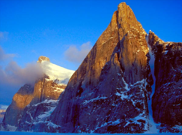
    Polar Star Couloir, a particularly esthetic couloir from “Fifty Classic Ski Descents of North America” by Chris Davenport, Penn Newhard, and Art Burrows

    Round 1 – Scouting Mission

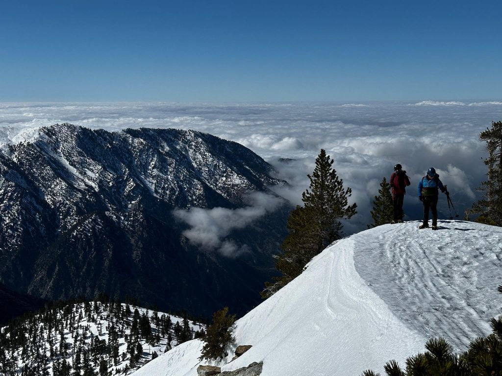
    This past spring was the start of my journey into the winter backcountry. I took an AIARE Level 1 course and toured a few times into simple terrain in the Wasatch range of Utah. However the first real trial run begun with Mt. San Antonio (aka. Mt. Baldy) in the Angeles National Forest of Southern California, a lot closer to my LA homebase. It’s a fairly straightforward hike, starting with a ~3 mile trail of switchbacks from Mt. Blady village to a small ski hut at the base of a headwall 800 vertical feet from the summit. On April 13th, 2024, my roommates and I set out on a ‘scouting mission’ to first summit the peak and then learn more about the potential to ski some of the fantastic couloirs within Baldy’s headwall. Slight wind & rain was predicted on that Saturday morning as we left the Redondo Beach house at 4 o’clock in the morning. The alpine start kept us crossing fingers for a better outlook and as the morning’s first light appeared on the slopes above it was clear that we’d lucked out with pristine clear conditions.

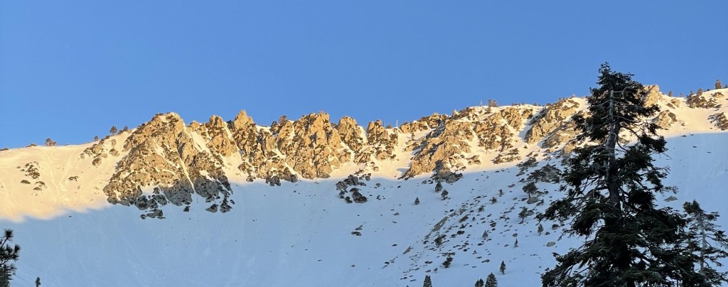
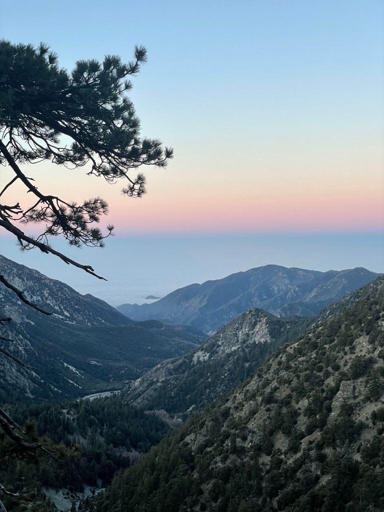
    Mt. Baldy’s headwall at the first sign of light in the morning

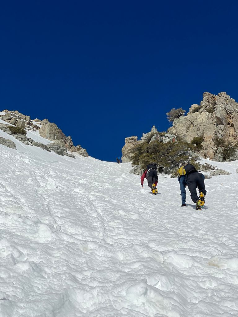
    While we took in the view, I quickly realized I was out of shape for a long approach with a moderately heavy pack for the day. Putting one foot in front of the other, we managed to make it to the ski hut by a quarter past 7. This gave us time to scope out the headwall ascent in more detail as we transitioned into crampons and took out our ice axes for their inaugural use. We eventually chose to climb up “Dosie’s Dare”, the Southmost couloir of the headwall. Slight southwest winds and a few hours of spring warming made for a daunting ascent, as small instances of rockfall plagued the climb. The three of us made sure to avoid the main rockfall trajectory, consistently scan for debris, and remind ourselves to avoid warming for successive attempts. Eventually we made it up the couloir, feeling tired but ready for the remaining few hundred feet to the summit. At this point I was exhausted and making slow steps, but still managed to make it to the peak about a minute or two behind my friends. The view was spectacular and presented a ~270 deg view of a sea of clouds in the valley below. After a brief pause, we glissaded our way down soft wet snow and down to the trailhead by about 1:30 in the afternoon. I was completely wiped out and found myself with a new appreciation for more demanding ascents of the mountaineers I find inspiring. Regardless, the adventure of the day was worth every step and had us itching for a repeat with skis.
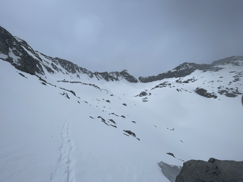
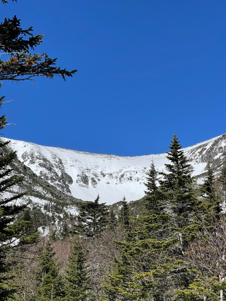
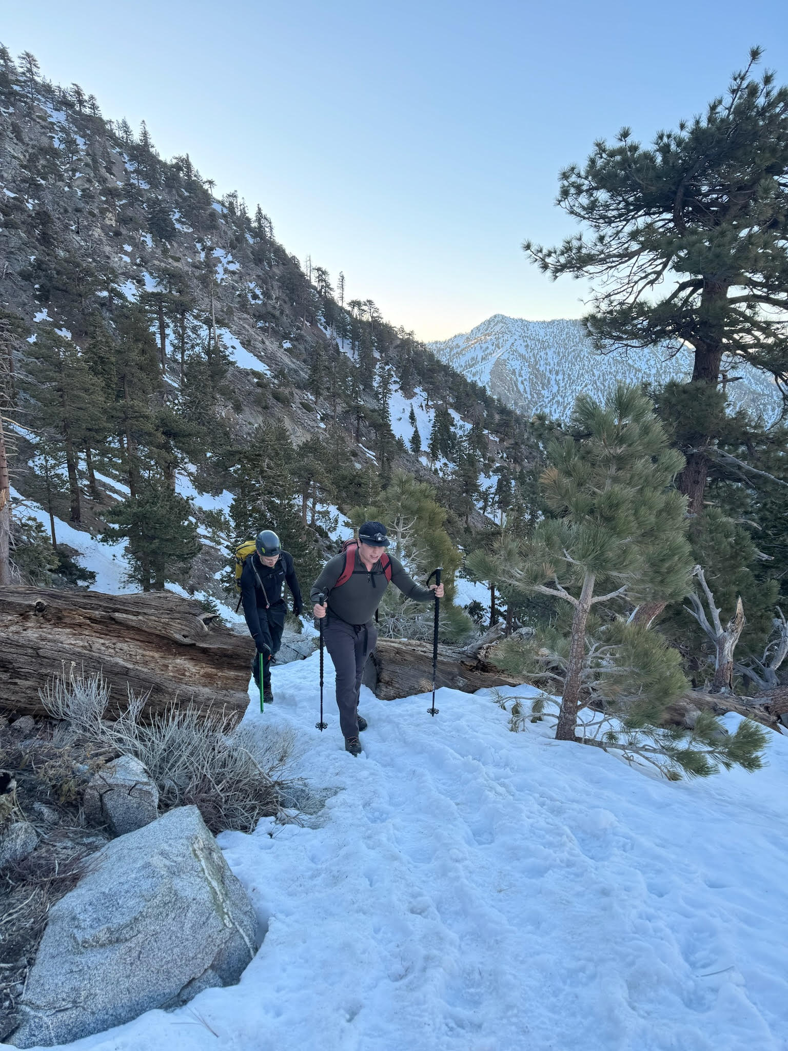
    Trevor and Max making their way up
    Myself and Max at the top of the headwall

    Round 2 – Chute Skiing

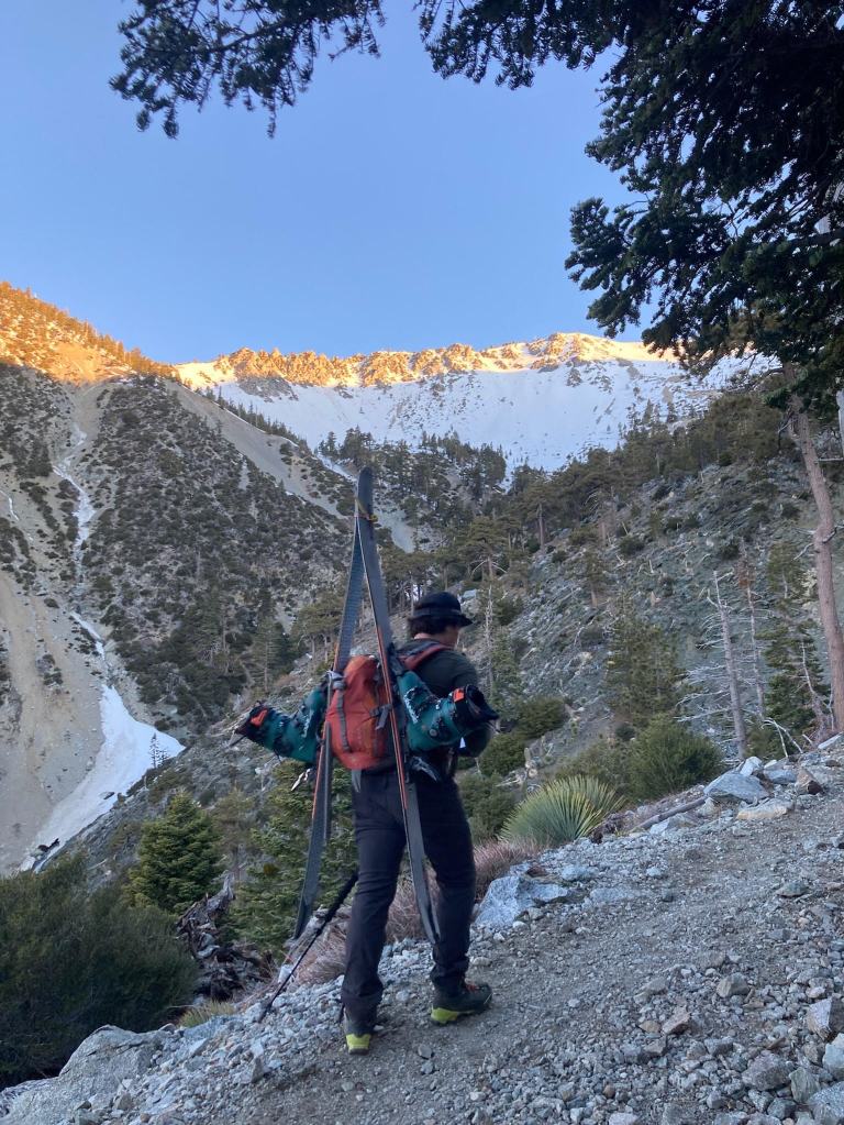
    Exactly one week later, we set off for a repeat ascent of Mt. Baldy’s headwall. This time Trevor and I packed an alpine ski kit, marking Trevor’s first time in the backcountry on skis and my 4th. Starting off at the trailhead I was nervous for my physical fitness while my pack was probably 15 pounds heavier than our previous journey. But in the week leading up to this hike, I did significantly more preparation in the gym (last time it was close to zero to be fair). Getting to the ski hut took a while, but the views of the San Bernadino valley with a repeat cloud layer inversion were fantastic. Shortly after the first light hit the top of the Baldy headwall and we swiftly made it to the ski hut at around 7:30 in the morning.
    Making my way up the trail with a view of the headwall chutes above
    A glorious view of the cloud layer below us in San Bernadino

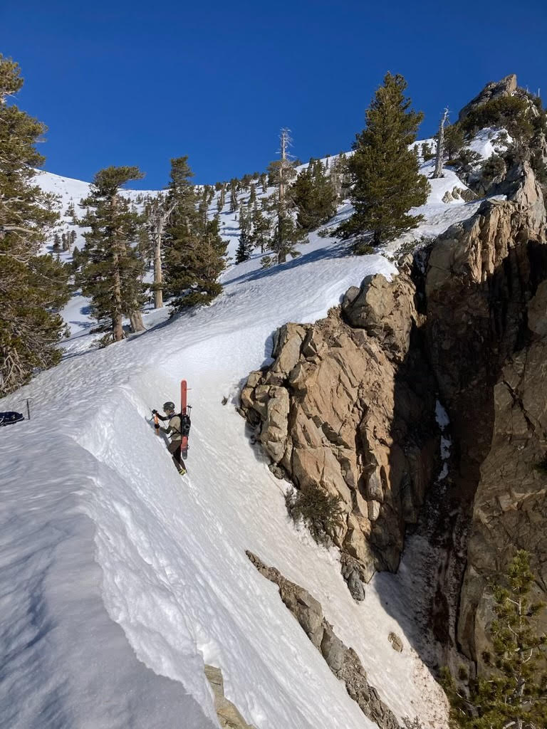
    Matt and Trevor aimed to climb the Girly Man couloir, a narrow and steep classic of the headwall that made the most direct passage to the ridgeline marking our summit for the day. I was the only one in the group to have alpine touring bindings, so I took a stab at skinning up the larger open bowl to the left of the rocky headwall. While making some switchbacks up the slope, I was accompanied by a group of three slowly hiking with crampons and axes. While otherwise unnoteworthy, this was probably a signal I should have been booting along with them. Following some more sketchy kick turns and a near fall, I made my way over to a tree and transitioned into crampons. After another 30 mins and many groups passed, I made my way up to a larger triangular rock on the ridgeline where my group was waiting. Trevor and Matt had successfully climbed the couloir and seemed to have a blast doing so. Looking down the slope was quite intimidating, but it was also not on the table for a ski descent given its rock filled crux.

    Trevor topping out of the Girly Man Couloir, it’s a lot steeper than it looks!

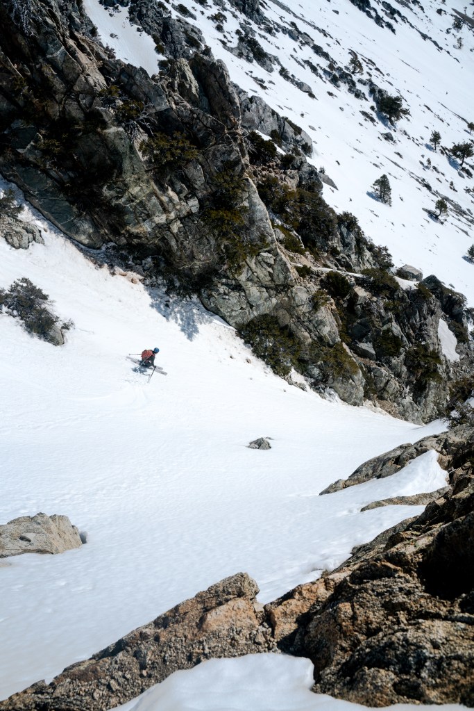
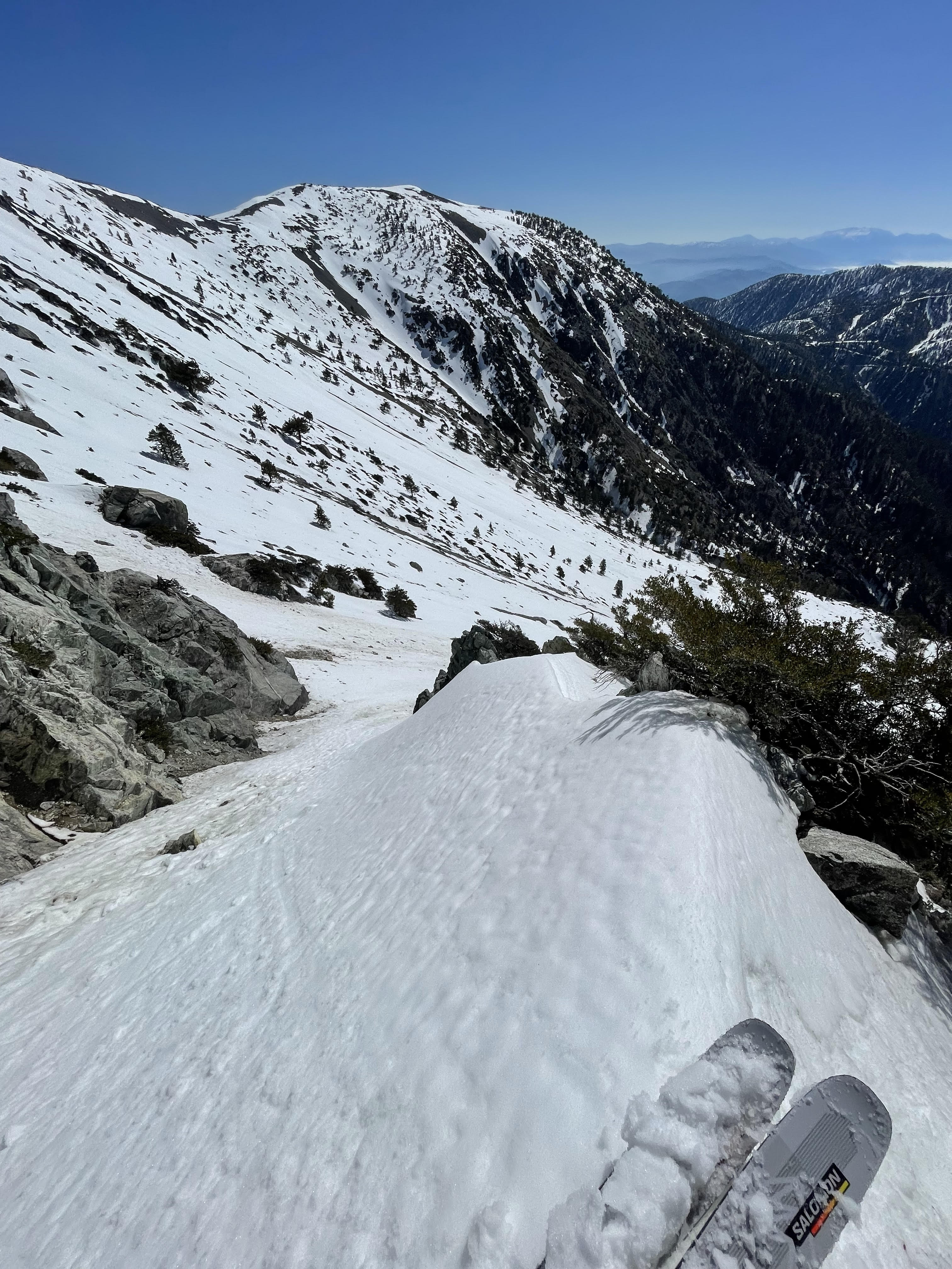
    Following some hydration and calories, we were ready to make our ski descent and I was particularly stoked for it. The chosen line was called the Hourglass Chute (also called the Shit Chute) and was one over from the Girly Man ascended by Matt and Trevor. Ironically, Matt did not pack his snowboard and Trevor was an intermediate skier. While Trevor opted for the more mellow bowl I had partially skinned, I was going solo down the chute. Upon inspection, the upper snowfield was near perfect: prime corn snow, untouched, and a 40 ish degree slope. The first 10 turns were awesome and it was clear this chute was the perfect selection for the day. I was pumped with adrenaline as I approached the crux at the bottom of the snowfield and the center of the hourglass. At this point, the lactic acid in my legs from the vertical experienced throughout the day had fully caught up to me. Not wanting to risk any falls, I made a few careful hop turns and side steps through the narrow and steep choke. Soon after I was nested on a safe perch immediately after and decided to take a brief break. After that point was a short runout and right turn into the longer bowl apron. Linking a few turns at a time, I made it down the slope feeling sore but full of excitement. The only hiccup was some rockfall behind me that motivated my quick descent to a break point in the rocks below. While I waited for Matt and Trevor, I realized that I skipped my meeting spot (a small bush at the chute exit) and caused them a brief panic before we finally met up at the ski hut. Trevor had his own descent adventure while navigating his first backcountry ski down the Baldy bowl. He took a single tumble, but otherwise made some good turns visible from Matt & I at the exit. Matt on the other hand repeated our glissading adventure from the week prior.

    Myself on the hourglass chute descent, April 20th, 2024

    The ski hut post descent was a great time for a break and chat with other skiers as our stoke was still high from the riskiest part of the day. We packed up after another refuel and headed down the ~2.5 mile descent feeling great but sore. The car felt incredibly far away and I was particularly slow moving and tired as I made the final few steps. Despite the soreness, I was incredible happy with our two part quest to ski the headwall. Both ascents felt like exactly the right difficulty to test our endurance and technical skills while navigating the ski mountaineering landscape. Onto the next trip!

    Some bonus footage!