Author: max

  • Training and Volume – Winter 2026

    Training and Volume – Winter 2026

    I started my backcountry skiing and climbing journey nearly two and a half years ago now with effectively no training or experience. I was definitely a good skier, but was coming off a very demanding job and was completely out of shape. My first real tour was barely 2000 feet in very mellow Utah terrain and it still kicked my ass. I got slightly better as the season progressed into the spring, but I still didn’t really ‘train’ to get better. Later that year I moved to San Fransisco for a new job and had it in my mind to really step up my game when it came to fitness. My philosophy was to start very casually and just figure out what worked for me to stay committed & excited to the journey. Luckily for me, I had much more time on my hand at this point and was ready to lay a great foundation for bigger goals ahead. The next year I slowly improved month over month, progressing steadily in milage and speed over a diverse set of cardio focused activities. SF lended itself mainly to biking, cycling, swimming, climbing, and ski touring, all of which I loved to trade off between the weeks and seasons. By the time fall of 2025 came along, I was ready to step it into high gear in preparation for the ski season ahead.
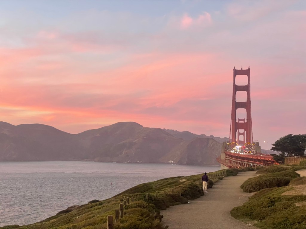
    A particularly cool sunrise prior to biking up Hawk Hill

    This fall I started off some more dedicated training by reading through Steve Johnson’s guide to mountain endurance sports titled the “Uphill Athlete”. This book was intended for trail runners, backcountry skiers, and generally all sports that traveled on foot through mountains. It began from a foundation of describing metabolic processes utilized while running over a long period of time. This science guided the rest of the book which explained what sort of training is most effective to improve one’s aerobic capacity and why. My takeaway is that endurance sports are almost always a function of an athlete’s aerobic threshold. This threshold is the limit of metabolism that fuels on oxygen and stored body fat (which is aerobic due to the use of oxygen). Improving this threshold allows a higher power output for a given duration and requires intentional training described in the book for improvement. I distilled this down to that fact that running at a lower heart rate for longer periods of time was the most efficient training I could pursue. Instead of running for 3-5 miles at 80% or so effort, I really needed to be running double the distance at half the effort.
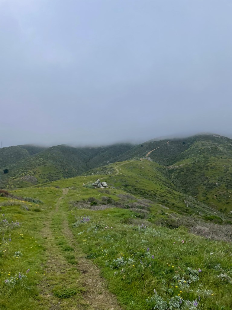
    Foggy morning on San Bruno

    My first attempt at this was to start running up San Bruno’s ridge line after work. This was a ~8.5 mile route with about 1500 ft of gain and I could start and finish at my office right around sunset. I used to run a lot of hills when I was on my high school’s cross country team, but I’ve never really ‘trail run’ in this capacity. The route started with 2 miles of relatively flat road that served as a good warmup. Then at the first trailhead I would start up ‘sign hill’, a mini foothill of San Bruno that had the words “South San Francisco” in Hollywood style lettering. It was steep but quick, probably 400 feet or so of climbing before I was back on the road for a quick descent towards San Bruno proper. The 2nd trailhead started at a large buttress that was approximately in the center of the large ridge making up San Bruno. From this trailhead to the ridge line was approximately 800 more feet of vertical over 1 mile of terrain. It was steep, rocky, and somewhat loose in sections. Later I would learn that the top times of this trail segment at 10:30 min/mile pace, which for me was absolutely ludicrous. For my first attempt, I probably was close to 18-20 min/mile pace and felt pretty smoked at the top of the ridge.
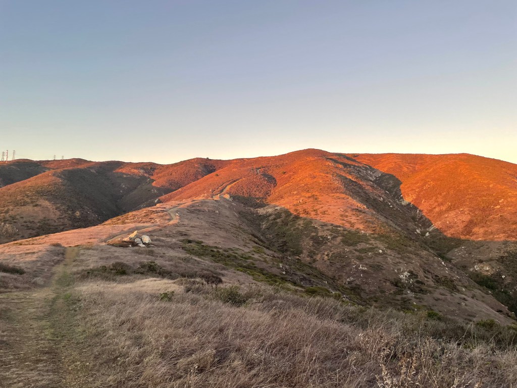
    Halfway up to the San Bruno Ridge during golden hour

    Once I got to the top, I would typically run East towards the lower half of the ridge line. The summit was in the opposite direction, but would extend my run by more than 2 miles and didn’t make for a great loop. The other half was still an awesome run along the ridge. For about a mile and a half I was running about a thousand feet above the peninsula and could see a panoramic view of San Francisco, the Pacific Ocean, the East Bay, and Santa Cruz mountains all at once. For most of my runs in the evenings this view would be enhanced by the sunset and make for a pretty special ambiance. At the end of the ridge was a steep downhill that made it’s way into a small suburb near the city. I’d then take this back another 2 miles to work to end the loop. What I liked the most about this trail was the diversity of flat running, steep uphills & descents, and crazy ridge line views. Quickly this became my weekly or biweekly workout routine and before I knew it my times dropped quickly. From October in 2025 to March of 2026, I ran this route and a few variations maybe a dozen or so times. My first attempt finished the loop in 93 minutes (11:09 min/mile) while my most recent finish was 76 minutes (9:17 min/mile). Really I owe the huge drop in time to staying consistent and pursing workouts that I genuinely find fun week to week.
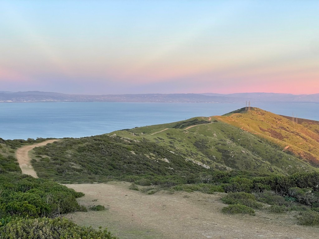
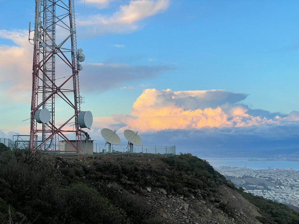
    View of San Bruno’s ridge looking east
    San Bruno topside

    Although San Bruno was probably my favorite workout week to week, I also began finding others that were similarly inspiring. In particular, I turned to one of SF’s most popular endurance sports: cycling. From my apartment near the golden gate park, the opportunity for fun cycling loops in and outside of the city were endless. Within about an hour I could ride my bike through the 3 parks in the city’s NW corner or visit ocean beach and then climb up to twin peaks. I could also go north and cross the golden gate bridge to access some of the most scenic rides in the area. Most popular was Hawk Hill, which provided an efficient climb up the closest coastal hill with a great view of the city. I could extend or linkup anyone of these loops for more vert or more mileage depending on how much time and energy I had at that moment. Best of all was the community surrounding these loops. Given the easy access and local popularity, I frequently found people willing to ride before or after work. To me any workout with friends was effectively free in terms of mental effort and activation energy. I had no excuse not to join in on a group ride if I had the time available. So before I knew it I was consistently riding between 20-40 miles a week and boosting my volume of cardio workouts.
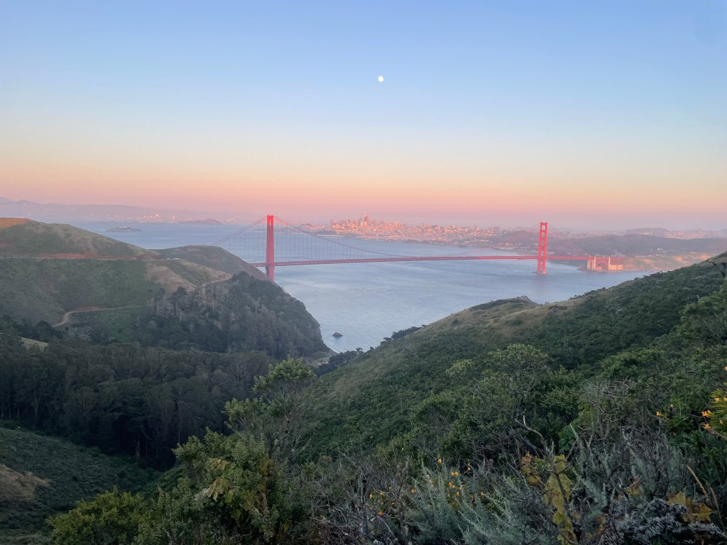
    The quintessential SF cycling destination

    By the start of the ski season I began to really feel the cumulative effects of consistent endurance training. Easy tours around the West side of Lake Tahoe like Jake’s or Tallac turned from challenging and half day efforts into quick and efficient outings. With a fast partner I could make it up two thousand vertical feet in just over an hour or so depending on how good the skin track was. One weekend in January was a great example of this payoff. I joined with a friend Ray, who I had met earlier in the fall from a mutual friend. We both wanted to get out to Tahoe for a weekend of fast paced touring to explore more of the West Lake area. On Saturday we drove out early in the morning and made it to Jake’s by about 10:30 am. The snowpack was pretty brutal at this point, so the skin track was pretty much just bulletproof the whole way up. Despite this we quickly ascended and descended the mountain in about 2.5 hours, stopping only to take in the views periodically. We weren’t racing up in any capacity, just looking to get up and down quickly so we could make it back to the resort with our friends.
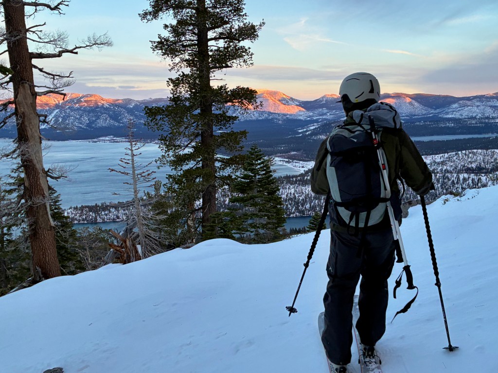
    Early season tour on Jake’s at Sunset, had to move quick to stay in the light

    By pure coincidence, we made it to the resort by about 2:30 and ran into a mutual friend who was an olympian freestyle mogul skier. After a fast tour up Jakes, we immediately joined her group’s ‘power hour’ down Chute 75. In true olympian fashion, this entailed lapping Chute 75 (a steep mogul run down KT-22) as fast as possible until the mountain closed. They were already on lap 3 at the time and we joined in for bonus laps of fun. Turns out my legs quickly turned to mush as we blitzed down the moguls in about 5 mins each time. By 4:00 Ray and I had put down 8 laps and I was desperate for a beer and slice of pizza at Chamois. Later we finished the night at a friend’s airbnb hot tub and immediately began scheming what was next for Sunday. So then we woke up early, rushed to the Tallac trailhead, and blitzed up the mountain in what would be record time for me by far. The skin track was pretty straightforward and there even was a bit of soft snow waiting for us at the top of the NE bowl. This made for a surprisingly great descent and we both got some soft turns in down the big gully we came up. Luckily there was snow all the way to the car and we managed to finish the nearly 4000 ft round trip in under 4 hours. We weren’t really going for time, but just had the stamina for a fast round trip and it felt great. Wrapping up early even allowed for a visit to my favorite pizza joint (Mountain Slice) in Tahoe City before our exit back to the city before the evening.
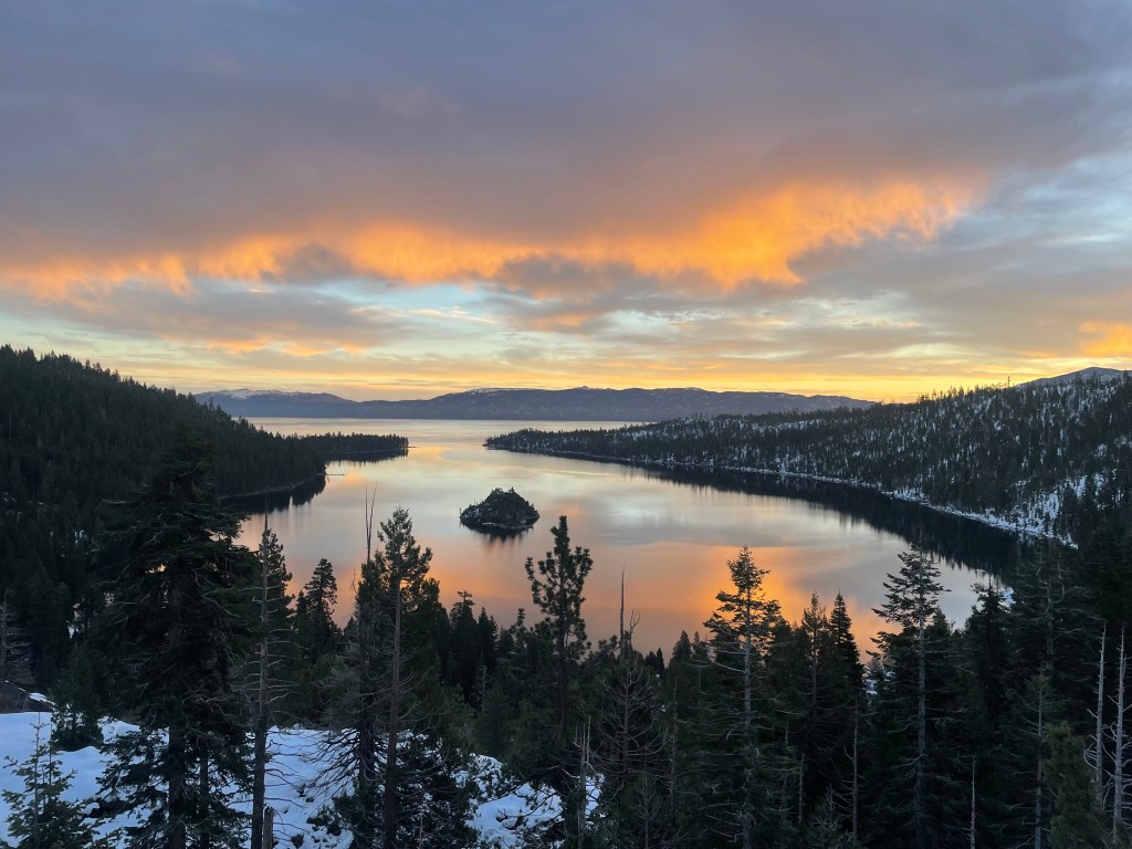
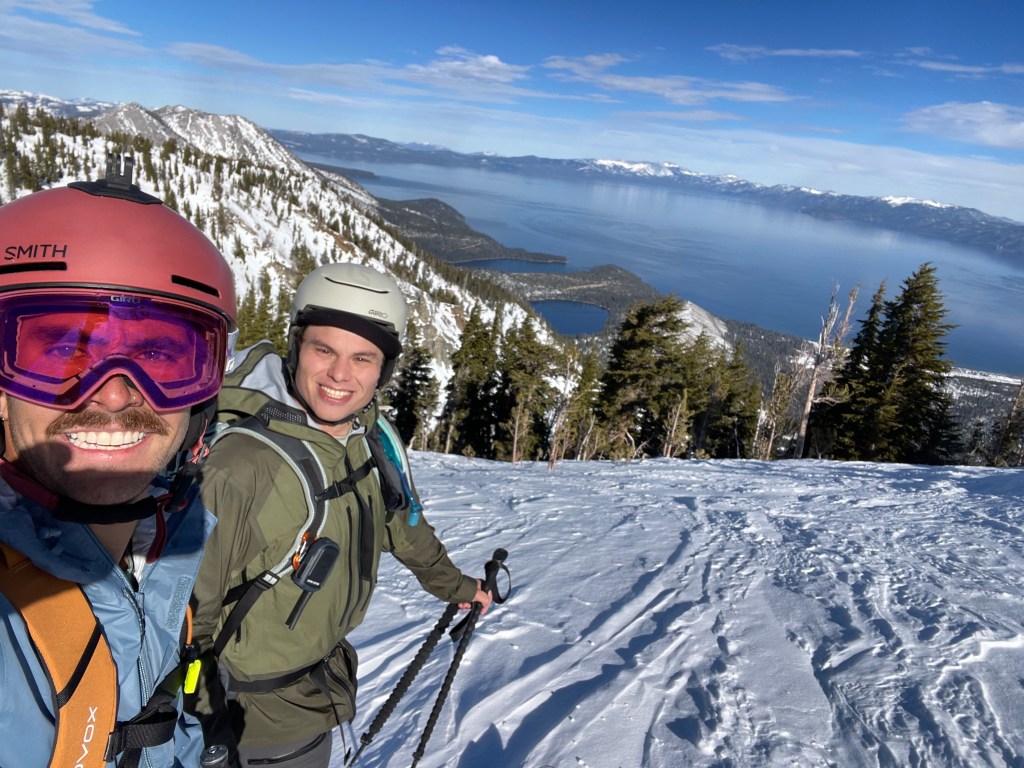
    Sunrise over Emerald Bay on route to Mt. Tallac
    Ray and myself with a view of Lake Tahoe right below Mt. Tallac’s summit

    As the season progressed I continued to find more payoffs from my journey to improved fitness. While traveling to Utah and Japan, my buddy Hokaj and I would consistently be able to access bigger terrain or ski more laps than otherwise possible a year before. I felt less fatigued in general and was able to dial in my fueling strategy to maximize performance. I also got much more comfortable with what gear to choose and how to use it most efficiently during transitions or while eating. However, skiing wasn’t my only ambition. The more I improved my endurance capacity, the more I wanted to challenge myself with bigger and faster outings. Goals that seemed impossibly far away began to feel more tangible by the week. One of these impossible goals was a multisport endurance challenge based out of Jackson, WY. This local rite of passage was ironically named the ‘Jackson Picnic’ to match the underground and casual vibe of the seriously crazy local scene. The challenge started at the center of town with a bike ride to Jenny Lake, approximately 20 miles or so along mostly flat terrain. You’d then need to swim across the ~1.5 mile lake to access a trailhead towards the Grand Teton. After a casual 22 mile round trip up the steep, boulder filled, and extraordinarily technical Grand Teton summit (a 5.4 solo), you’d need to reverse the loop and make it back to town. If you lined up conditions right, you’d also need to finish the loop in under 24 hours in order to make it to the Million Dollar Cowboy Bar before closing. I was not about to risk my life to solo this challenge, but I figured I could test my physical capacity with a backyard challenge of my own.
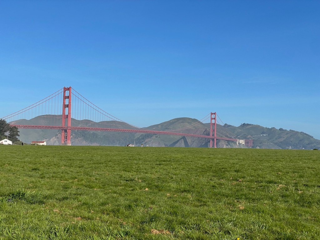
    View of the bridge coming from Aquatic cove

    Originally my plan was to invite a few friends to join me on my version of the ‘SF Picnic’. We’d aim to complete a similar physical challenge to the Jackson version, while hitting the iconic destinations around SF’s training grounds. But it turns out that most of my friends hated the idea and lining up a group trip quickly became out of reach. So while the ski season was still subpar in March, I set off solo on a random Sunday to finish the goal I set for myself earlier in the Fall. I started off from my apartment near the golden gate park on bike towards Aquatic Cove for the first leg of the journey. I carried a backpack with a wetsuit, towel, and swimming gear so that I could stash my bike at the cove and start off with a swim. I ended up doing two laps in the cove or about 2600 yards (~1.5 miles) in pretty freezing cold water. I then tossed the gear in a bush and headed off on my bike towards Mt. Tam in the Marin Headlands. This bike loop was a bit over 50 miles and finished with about 5000 ft or so of vert at the top of the East peak. I even did a mini trail run to the real summit just to make the experience feel more like the real picnic. The bike took the longest time by far, but I just made sure to constantly fuel up and take things pretty slow. For the most part the whole trip felt pretty type 1 and I was listening to podcasts and music the whole time.
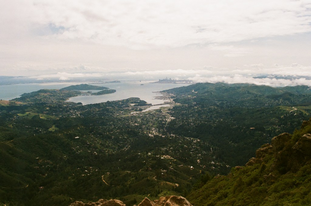
    View of Marin County looking South from Mt. Tam – 35mm film

    Before I knew it I was back at Aquatic Cove to pick up my gear and head back to the Golden Gate Park. There I stashed the bike at my house, changed into running shoes, and began the final leg of my journey. I started off through the park and towards Ocean Beach, beginning a classic bike loop to Twin Peaks on foot. I was jogging relatively slow and was certainly feeling the accumulation of the day at this point. Despite this I knew I wanted to finish strong and did my best to hold pace through the Great Highway and towards the SF Zoo next to Merced Lake. Once I got there I knew the rest of the loop was almost completely uphill. My pace slowed a little bit as I trudged up the hill towards Twin Peaks. Miles 6-10 were the hardest for me and I had to constantly remind myself that I only had about an hour left of my 8+ hour day. At my transition I had chugged quite a lot of water but for now I only carried a few energy gummies to finish off the day. By the time I reached the summit of Twin Peaks I was pretty ecstatic. All I had left was about 2 miles of downhill to my apartment. This went by pretty fast and my legs were almost completely toast when I finally made it to the finish of my 13.1 mile loop (+1000 ft or so). The day ended and wound up being just a bit more than a half ironman worth of swimming, biking, and running. (2600 yards in 58:52, 62.05 miles with 5489 ft in 5:09:26, and 13.16 miles with 1175 ft in 2:29:22). It wasn’t the fastest time ever, but I also didn’t really train for this challenge specifically. It was a great testament to my training to date but wasn’t my end goal in any sense. Really I’m most proud of the fact that I had developed a system of training for myself that has consistently pushed me to do bigger and better outings. Fitness doesn’t just grant capacity for larger objectives, it provides a crucial safety margin in case a schedule in the mountains goes awry. I am much more confident cruising through an approach if I don’t need to worry about granting myself extra time for excessive pacing. With that in mind I don’t really have a particular end in sight for training. In line with legendary Alpinist Vitaliy Musiyenko, I’m hoping to be as fit as my current lifestyle allows such that when the opportunity arrives I can jump right off the couch and into the next badass objective that comes my way.
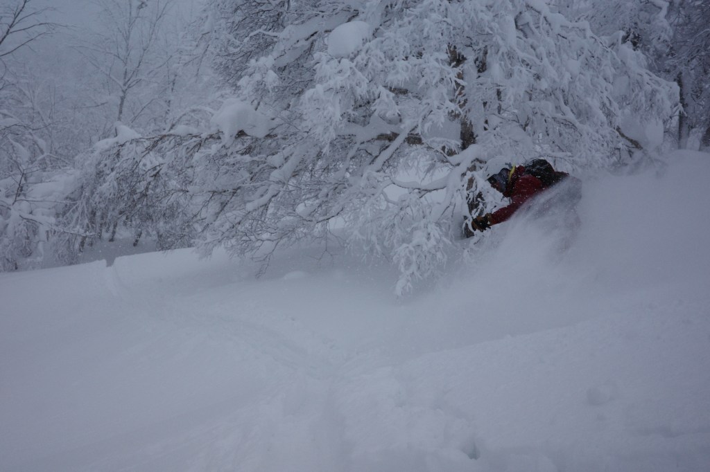
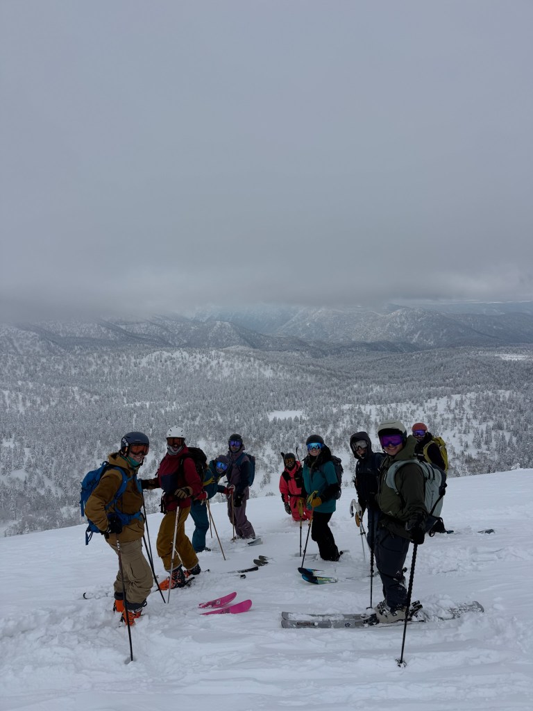
  • The Japow Experience

    The Japow Experience

    Japan is one of those prized ski destinations that doesn’t need much of an introduction. I’ve wanted to go for years now after hearing countless stories of unbelievable powder skiing, delicious food, and a great experience in the country’s biggest cities. After a group of friends made the trek two years ago for a extended ski vacation, I couldn’t pass up the opportunity for a repeat trip in 2026. Last time around they found a lesser known resort that has since gained more popularity. Located near Asahikawa in Hokkaido, Asahidake Ropeway has a single tram that rises about halfway up its namesake volcano. Its the tallest of its kind on the north island and is most known for its consistently high snow totals and steeper powder gullies. We’d wind up staying near this resort for the majority of the trip, but it would be quite a long journey before we strapped into skis for the first time. For now, we all raced to finish work and embark on the 12 hour flight from San Francisco to Tokyo.

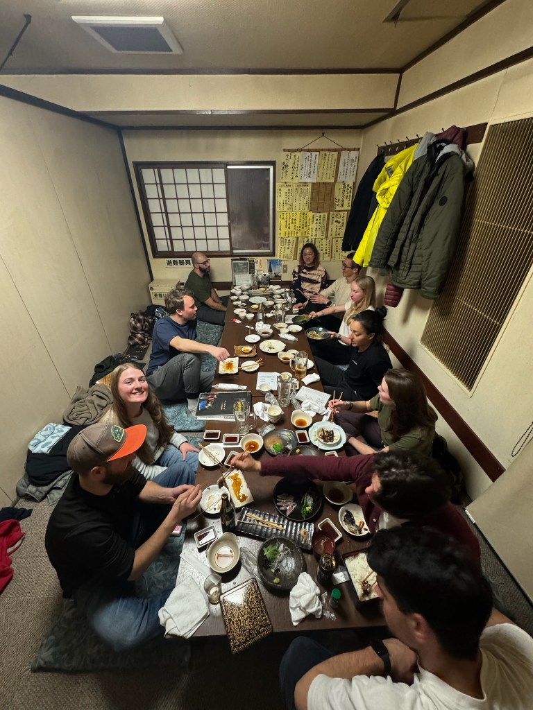
    Our group of 9 on the last day of our stay in Asahikawa

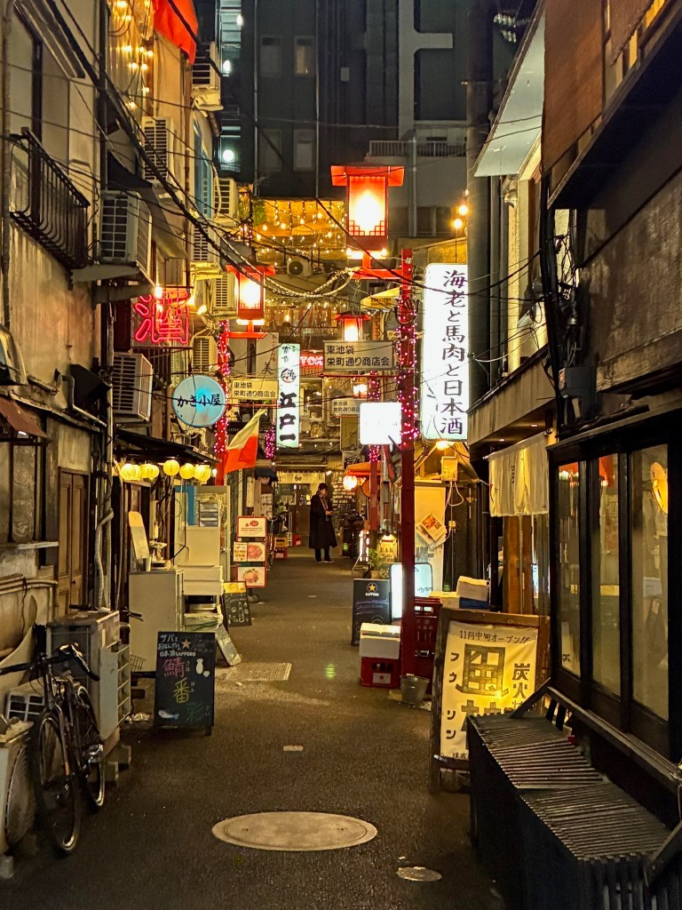
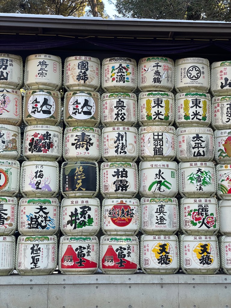
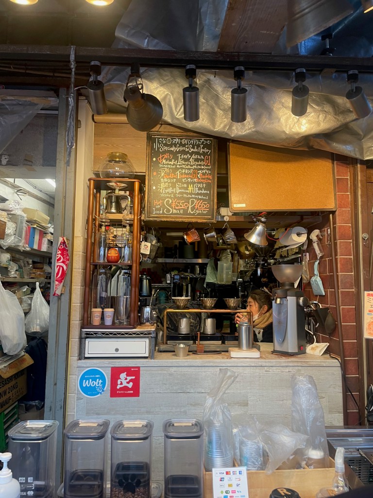
    Due to the time difference, my Friday evening flight to from SF arrived in Japan nearly 24 hours later. After a quick train ride, I arrived in Shinjuku to meet with my group at an airbnb in the city. We only had about a day and a half before flying to Hokkaido, so we opted to head out that night to explore the local scene. The first stop was in Golden Gai, a small section of Shinjuku with a ton of tiny intimate bars lining tight alleyways. Each of these bars had just enough space for about 5-6 people with bar-side seats only. We opted for some delicious Seafood Ramen in a 2nd floor unit before heading downstairs for hot sake at our own private bar. It was a great time, but we opted to head back early to prep for the next day of exploring the city. After a quick run and a visit to a cute local coffee shop, we took a train downtown to see more of the city on foot. On the way we walked through a gorgeous park dedicated to the Emperor Meiji, some fish markets with great sashimi rice bowls, and the famous Shibuya street crossing (apparently the busiest crossing in the world). I’d like to spend more time in Tokyo and other mainland cities in the future, but for a single day we really did explore quite a bit of the city. Before heading back we also took a stop for Omurice, a popularized Japanese Omelette with gravy over rice. Similar to the rest of the stops so far, the food was excellent and very different from Japanese food you would see back in the states.

    An alley within Golden Gai
    Barrels of sake left decorated for Emperor Meiji and his wife
    Some specialty milk coffee

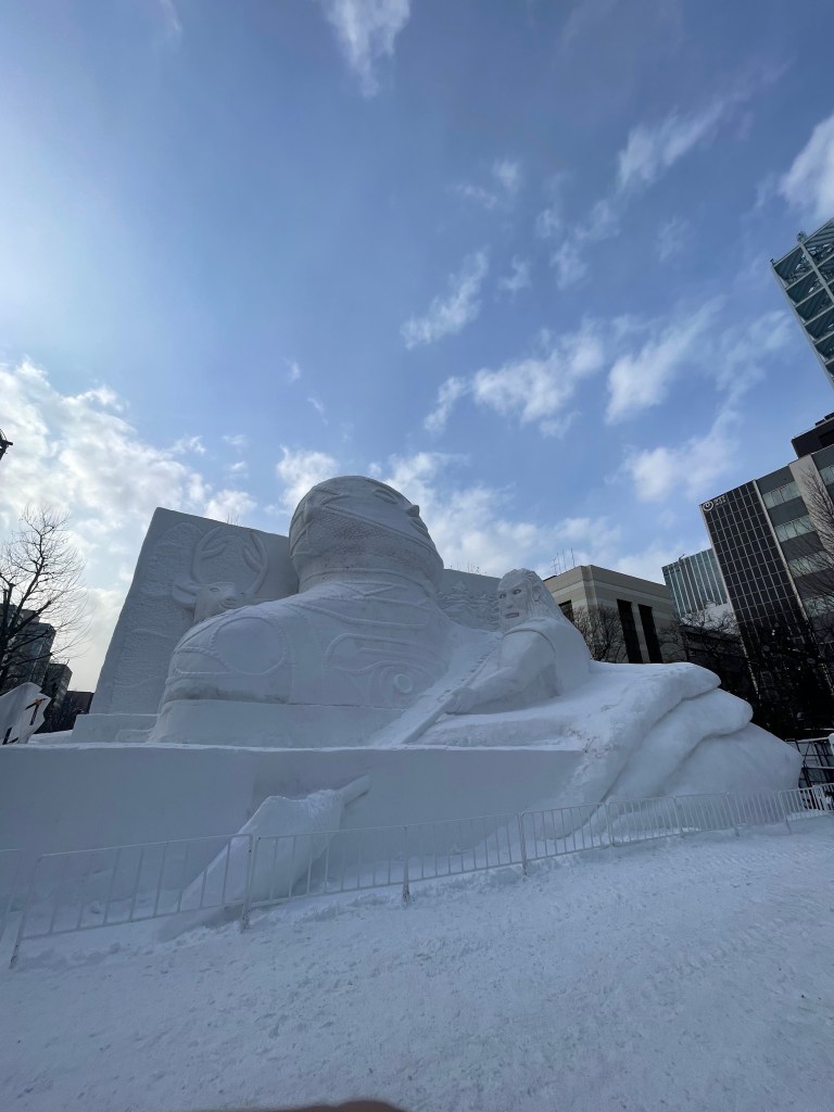
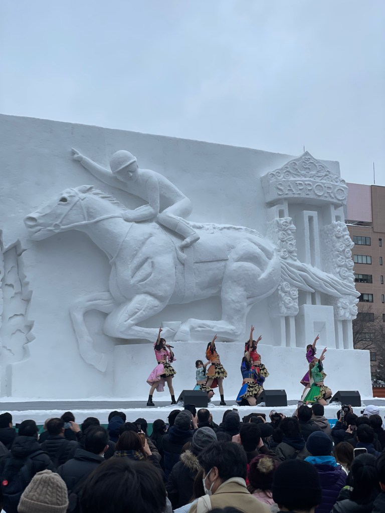
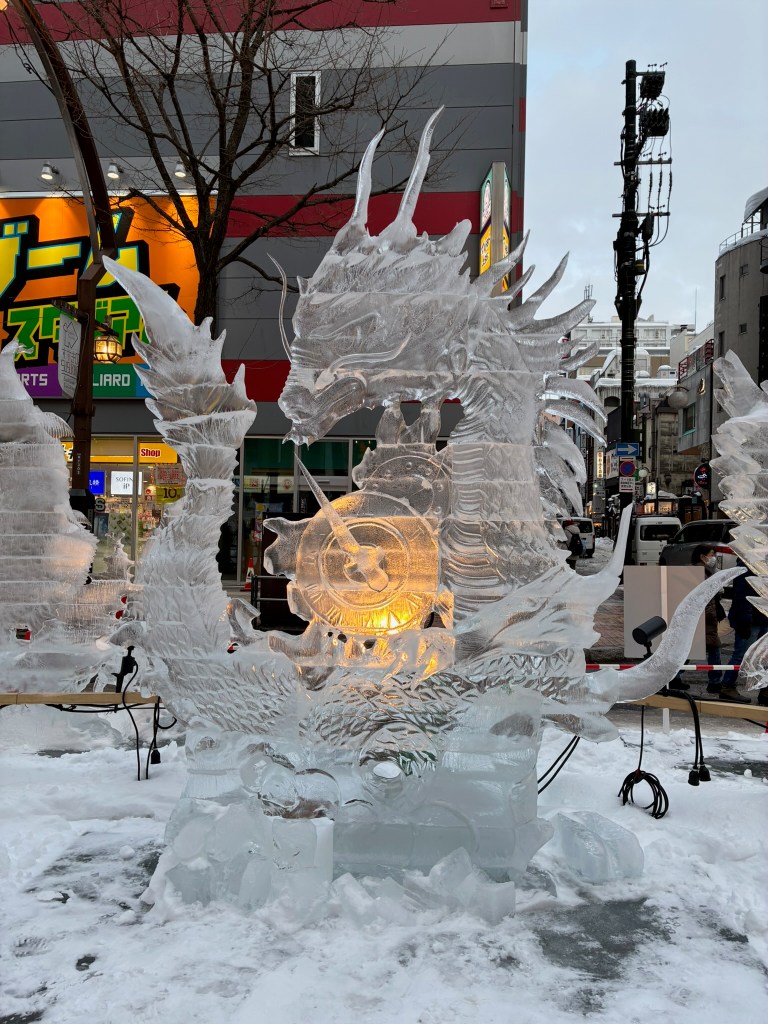
    Before I knew it, Monday arrived and we woke up early to make our flight to Sapporo for the next leg of the trip. We picked up a big van & one SUV to fit all 9 of us plus gear. Our final destination that day was in Asahikawa, but we also had the whole day to explore Sapporo while we had the chance. Lucky for us, our trip aligned with the city’s famous Ice & Snow Festival. All throughout the city there were absolutely massive snow and ice sculptures along with street vendors and live music. Some of the highlights were house sized snow sculptures depicting historic buildings and figures. We were also introduced to the local beer of choice, the ‘Hikkaido Classic’ version of Sapporo which was only offered on the north island. After the city visit, we went back on the road towards Asahikawa and finally arrived at our next airbnb. This was a much smaller city but also had it’s own ice festival in town that lined the street across from our stay. We had another four nights at this spot, so we opted to head to bed for the night ahead of our first day of skiing.

    An enormous snow sculpture in Sapporo
    Another building sized sculpture with a live performance
    A particularly cool ice sculpture in Sapporo
    The streets of Asahikawa

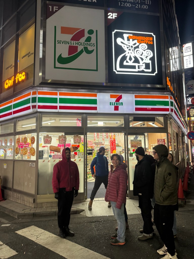
    I was incredibly excited to begin our first day on snow and woke up early to pack and shop for food. The numerous convenience stores nearby were the source of our fuel for each day and blew away my expectations. We stocked up on pastries, onigiri, candy, sandwiches, fried chicken, and beers almost every morning and night. Everything tasted great and was pretty cheap for what we were getting. On the way over we packed in the van and gorged on some breakfast for the ride. When we arrived at Asahidake Ropeway it was a complete whiteout. While we were in Hikkaido it stormed nearly everyday, with nearly four feet accumulating over our four day stay. For now we would take the resort’s single tram halfway up its namesake volcano. Each ride only costs about 10 US dollars and served access to some spectacular side-country terrain. However, getting to these zones proved to be quick tricky. When we got out of the tram we were greeted with high winds and a nearly complete whiteout. Three brave souls in the group stuck out front and guided the rest of us through some sketchy fumeroles while traversing across the mountain. We were slightly above the treeline so the area was pretty barren otherwise and made navigation difficult. After about a half hour we finally arrived to the set of gullies marking our descent for the day. Anticipation grew for the whole group as we were about to ski down for the first time of the trip and test out the famous Japow we traveled across the world for.

    Our morning and evening convenience store tradition

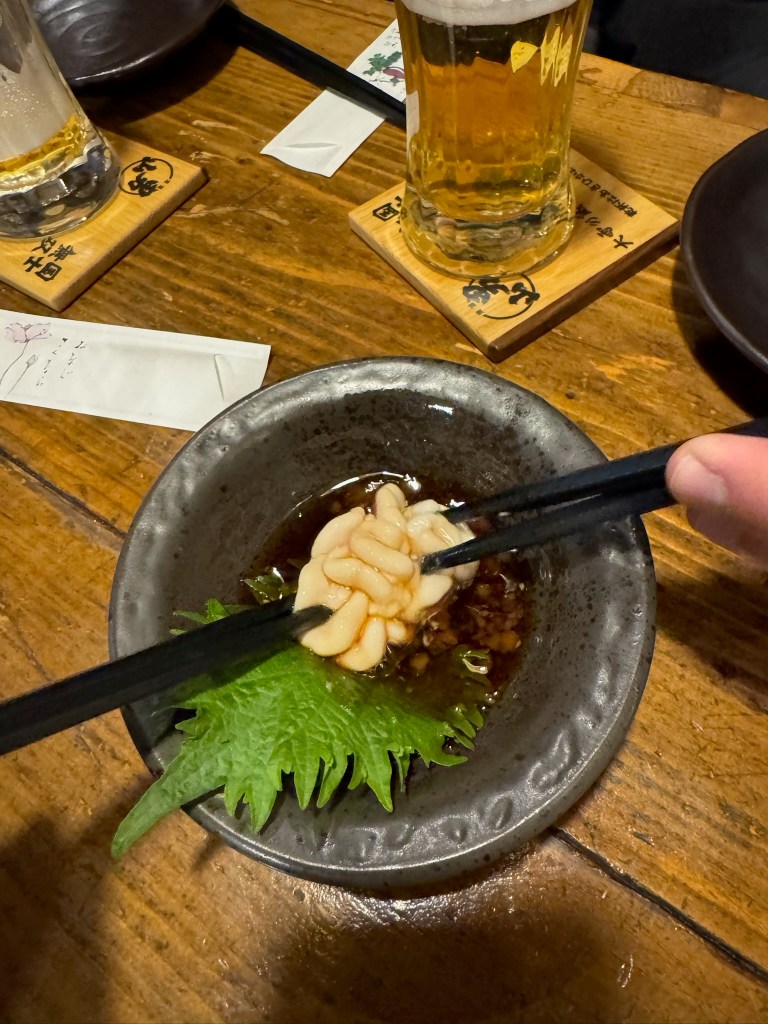
    Soon enough we made it to the treeline and the storm mellowed out. Avalanche conditions were our main hazzard of the day so we opted to stick on low angle terrain for the first lap. Then we finally started skiing down one by one. The snow was about knee deep and almost immediately we were all enamored by the impossibly soft and light snow flying up behind each of us on the way down. We didn’t quite have first tracks, but it was nearly empty and the skiing was phenomenal. When we arrived at the flats about 800 feet from the top of the treeline we opted to transition back into skins and head back uphill for lap two. This skipped the tram and made for some more efficient laps of incredible tree skiing. After gaining some more confidence we opted to ski down the main gully, which was a tiny bit steeper and more filled in than the tree lined ridges adjacent. This was the clear highlight of the day and we were all hooting and hollering while making easy turns in pairs on the way down. After three laps we made our way back to the resort and to our van for the travel back. Before the day ended, we made our soon to be daily tradition of stopping by an Onsen on the way back to the Airbnb. These public bath houses all were equipped with hot tubs, saunas, and cold baths. We split into groups and cycled between hot & cold baths every few minutes. After a long day of skiing, I cannot describe how good we all felt after this kind of recovery. Our muscles felt relaxed and aches were smoothed over as we excited feeling light and clean. On our way back we were still feeling the stoke, enjoying some Hikkaido classics, and blasting music in the van. When we finally arrived in the city, we visited an Izakaya in an intimate setting and were served by a sole host & chef. He only spoke a tad of english so when we asked for a recommendation he laughed and gave us all a taste of Shirako (turns out this is a cod sperm sack dish).

    Shirako at an Asahikawa Izakaya
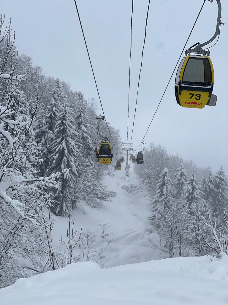
    The gondola lift line at Kamui Ski Links, one of the best runs

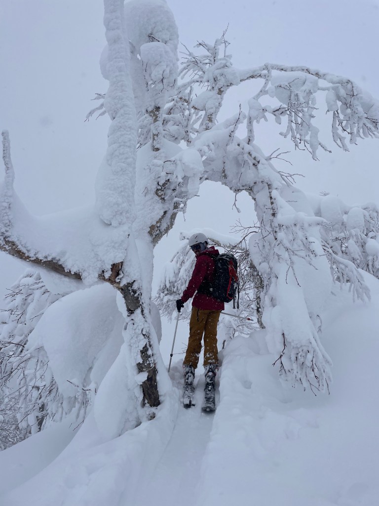
    The next two days were quite stormy and we were feeling quite tired as a group from the cold & windy day prior. We opted to head towards a different resort local to Ashikawa called Kamui Ski Links. This surprisingly large resort (2nd to Niseko in size) had a comforting east coast feel and was packed with locals. The first day we skied mostly in bounds and had some great snow conditions. It was a nice change of pace to get a ton of vertical skiing in and made us all a bit more confident for the days ahead. However, by the 2nd day heading to the resort I was itching to explore the backside of the resort. This uncontrolled area was famous for its great backcountry powder and relatively easy access back into the resort. After a quick warm up lap, we headed to the summit and crossed the resort boundary into the backside bowls. Our first descent was off to the left side of the resort and made for some fantastic turns into a large gully. This section was just a bit crowded and we opted to skin back up to explore the mountain summit and terrain further from the crowds. Luckily for us, this turned out to be a great decision. Once we arrived at the treeline below the summit there was a ~500 ft slope with untouched powder stretching out in all directions below us. Immediately my eyes focused on a huge natural step down feature at the top of the bowl. We took turns launching off the lip of this thing and flew down the rest of the bowl in knee deep powder. These were the best turns of the trip so far and we made a quick transition at the bottom of the bowl for more laps in this zone.

    Near the summit of Kamui Ski Links
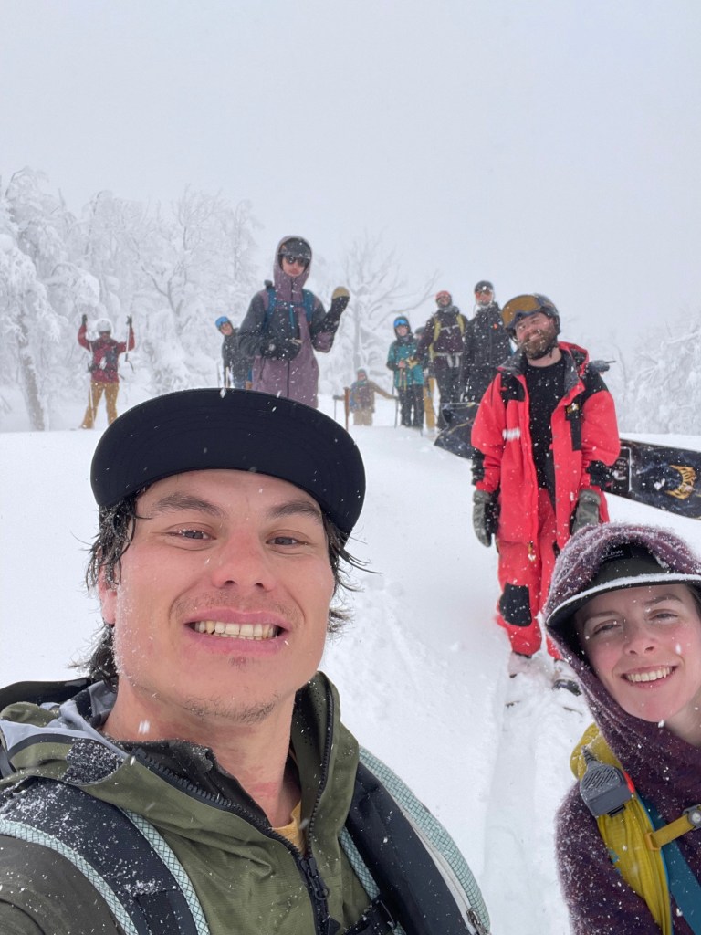
    The whole group after summitting

    At this point we still had a group of nine, which made for some tricky group dynamics. My buddy Hokaj and I were quite fit and could hike up the ~500 ft hill in under 15 minutes. Some members of the group were pretty adamant that we all stick together so at the top of the first lap we were forced to have a confrontation of the plan for the rest of the day. This was a new and uncomfortable experience for me as we all had pretty different expectations of the risk & objectives for the day. Ultimately we opted to all stay within eyesight but split our separate ways and stay in close radio contact. Even with the brief conflict we still managed to get in four good laps for the day and each was a fantastic time. In the end we all stuck together for the final lap down the front side of the resort right after closing time. As tradition we ended the day with a spectacular Onsen experience and made our way back to the city. That night we met up with two other groups we knew from college and SF to enjoy a great BBQ dinner in Asahikawa. The next day would be our last in the city, so it was a bittersweet night back at the airbnb.

    Some incredible sashimi and izakaya in Asahikawa

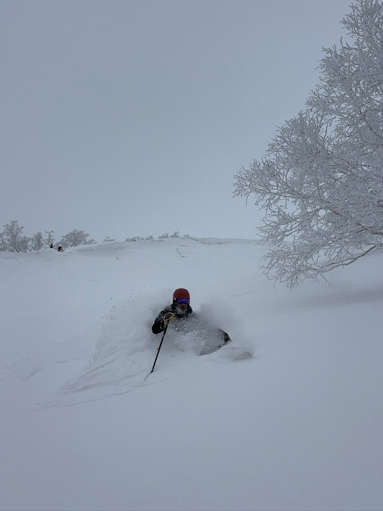
    After four days of continuous snowfall the skies briefly cleared for our last day in Asahikawa. Our group opted to get back to the Asahidake Ropeway, which had the highest snow totals in the area and was generally less crowded than the larger Ski Links resort in town. Hokaj and I knew we wanted to carry forward our fast approach and opted to skip the tram in favor of skinning directly up the resort. Our intention was to arrive super early, but by the time we made it to the skintrack the tram was just starting to turn for the morning. Knowing this we blitzed up the groomer for about a mile and a half before traversing sideways into the resort sidecountry. Immediately upon exiting the groomer we were greeted with chest deep powder and a completely untracked landscape. We knew we might just get one of the best powder days of our lives but it would cost us an absolutely crazy approach cutting through a trench of snow. Luckily we loaded up on convenience store snacks and took turns plowing through the endlessly deep snowpack. While one of us was trucking away at max heart rate, the other would catch their breath, reload on snacks, and prepare food for the leader ahead. We alternated four or five times while started to make upward progress slowly and steadily. By the time we made it up the hardest gully section we could start to see the first skiers arrive from the tram up ahead. The rest of our group was still traversing to the zone, so we opted to make our way down the first lap. Finally we found ourselves back in the gully proper and we were greeted with an unbelievably deep and untouched field of snow. I went down first and the experience was unlike any other day of skiing in Japan or anywhere else I’ve been to date. The snow was truly chest deep and each turn submerged by whole body while snow flew overhead. The slope was steep enough to fly down the mountain with no care for speed checks or any bump in terrain. Hokaj followed me down and I could briefly see him disappear into the snow as he bounced down the hill in perfect rhythm.

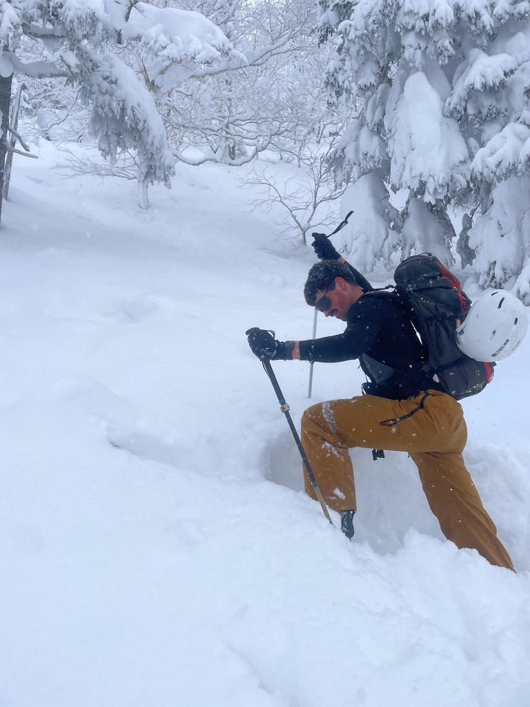
    Hokaj working hard to break trail
    The goods

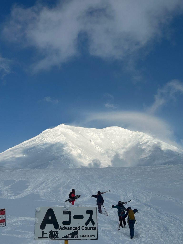
    I was incredibly stoked after this first lap and we both were ready to sprint up the hill for a second go. Our group was just getting ready for their first descent, but this time around the skin track was already set and we blitzed up in time to meet them before the downhill. Now it was time for a proper party lap and we were all over the moon with the lucky snowpack. We formed into pairs and floated down the gully just as before. We all took turns capturing footage of each other making turns. Each time one of us would sink down to nearly shoulder depth and it made for an experience like no other. I brought QST 106’s which floated well enough, but for the first time I was jealous of my friend who brought fat 4Frnt & Moment skis that could surf down effortlessly. Once we got to the bottom the crowds started to increase slightly and I was glad we were able to get out early to establish the skin track. The next two laps were just icing on the cake and we opted for different gully variations each time. For the final lap, the clouds started to clear almost completely and soon the guarded volcano summit opened to view. Sadly myself and two others were scheduled to break from the group and meet some college friends in Niseko. We got to the parking lot and saw Asahidake in its full glory, wishing we had the chance to summit this trip. Meanwhile the rest of the group took a last lap on the tram and got some incredible views of the upper mountain up close. I’m sure we’ll be back one day and I can only wish we will be lucky enough once again to experience this mountain in its full glory.

    The 2nd group on their last tram lap in glorious weather below Asahidake

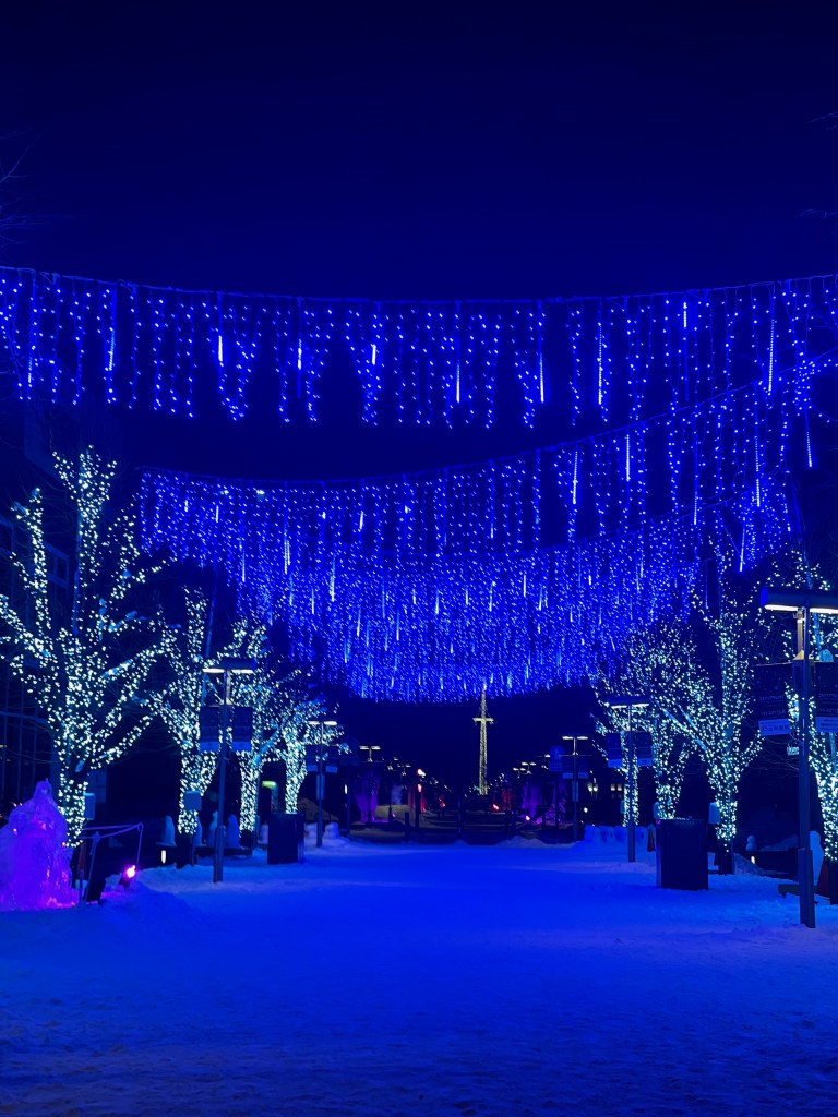
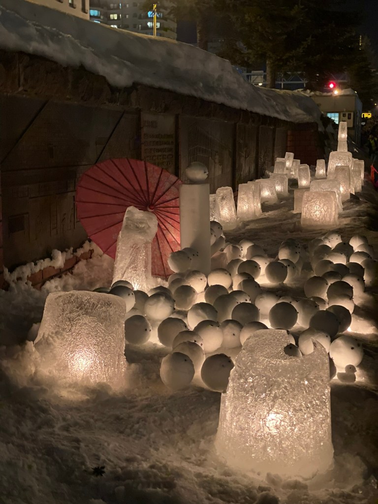
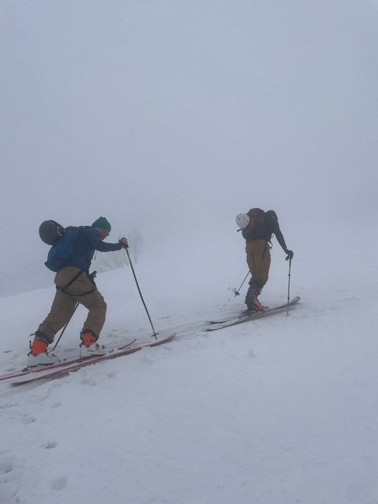
    Even though we had to leave, the three of us were still over the moon excited for the road trip ahead to Niseko. We took the group SUV and traveled south towards Otaru first. This small costal city was hosting its annual ‘Light and Snow’ festival, which had hundreds of lamp sized snow columns with lights centered inside. After parking we made our way towards the city’s central canal, which was packed with visitors and lined with tons of snow and light sculptures. It was incredibly difficult to find a place open for food but we finally made it to a Sashimi restaurant for a fantastic dinner. Shortly after we had to make it back on the road, as our final stay was still about an hour or two out in a Niseko Hostel. We arrived to find a small house packed with other guests, small rooms, and a shared communal space for food & bath. The next day would be our last on skis, so we opted to pack in the schedule as much as possible. First up was a trip to Mt. Yotei, which was a perfectly symmetric and picturesque volcano across from the resort. Our college friends had been in Niseko for the last couple of days and showed us some spectacular footage with the clear weather from the day prior. However the temperatures rose dramatically overnight and we were met with wet snow & a thick fog down low. After the last day of once in a lifetime powder, I didn’t mind this change in snowpack at all. Instead I enjoyed what we dubbed the ‘spirit forest’ vibes of sparse deciduous trees covered in a monotone fog. Three of us skinned up to the treeline and maybe a few hundred feet higher before opting to turn around for the day. It was time to meet up with our friends and we were just glad to step onto the famous volcano while we had the chance. The descent was surprisingly great for the first thousand feet or so before the snow got prohibitively heavy for good turns. Regardless it made for an easy descent and we were back at the trailhead in no time.

    Otaru’s light and snow festival sculptures
    Our gloomy ascent up Mt. Yotei

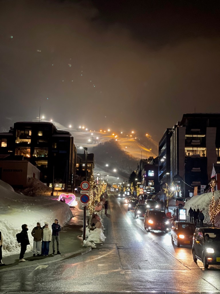
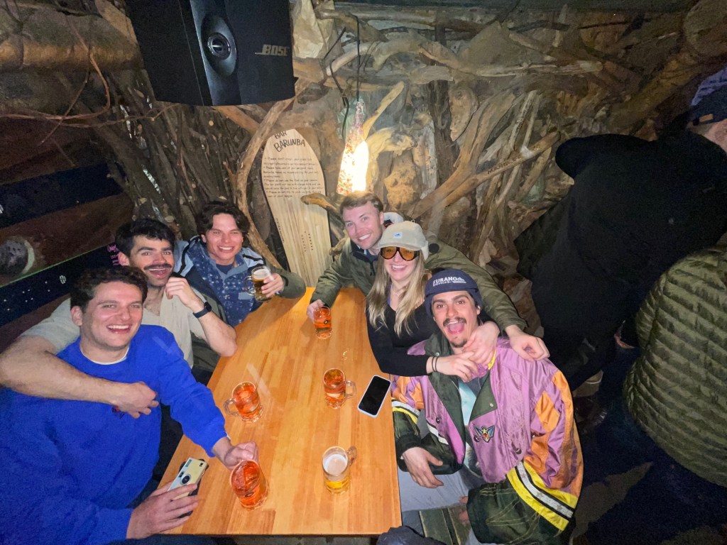
    After a tricky & expensive taxi ride, we finally made it to the resort for the afternoon and in time to meet up with the rest of the group. With the gloomy weather and dubious snow, we had a quick bite to eat and only planned on a couple laps before heading out for the day. Instead once we got on snow it turned out to be more fun than we expected. We wound up skiing until the resort closed and the soft spring like snow was a great end to the trip. Our flight back to Tokyo and then SF was at noon the next day, so we finished the last night with a bang in Niseko. The resort town is full of travelers, mostly from Australia, and the night was a dramatically different experience to the rest of the country. We got some sake & izakaya nearby before bar hopping way too late into the night. Before we knew it we stumbled back into the Hostel and crashed for the last night of the trip. Of course the morning was rough, but we were gifted with a beautifully scenic drive through the mountains and lakes of South Hokkaido towards Sapporo. We stopped for one last connivence store to grab curry buns and fried chicken before parting at the airport for Tokyo. It was hard saying goodbye to my friends as we waited at the gates and reminisced on the fantastic 9 days we had just experienced. My whole ski career I’ve heard stories of Japan’s epic powder and I was nervous in the lead up of whether or not it’d really live up to the hype. Fortunately we lucked into one of the best weeks I could imagine and I am incredibly grateful to have shared it with such a cool group of friends. I’m sure we’ll be back one day, but for now I’m content with this being the highlight of my powder skiing career.

    Niseko resort lite up at night
    Our last night in Japan
  • Chutes and Bombs – Utah 2026

    Chutes and Bombs – Utah 2026


    Halfway through January 2026, I began to realize one of my favorite trips of the year would be very different than usual. This year Salt Lake City and its famous cottonwood canyons were on pace for one of the worst snowpacks on record. Just a few years ago this range received nearly 900 inches of snow in a single season. This January they barely received a dusting. This didn’t really change anything for my group of friends from college, who host a giant reunion style pilgrimage to this area every year. And this year we had the largest showing yet: easily over 100 people in about a dozen airbnbs across the city. About a third of this crew stayed in a cul-de-sac of houses for the whole week, 9 days total of skiing. After about four years of great conditions in Utah, this forecast didn’t really phase me. In fact it presented a pretty unique opportunity. Now that my buddies and I had a couple years of backcountry experience under our belts, we could leverage the lack of snowfall to ski some of the steeper terrain in the canyons that is normally guarded by consequential avalanche conditions. And in particular a small group of us were eyeing a collection of chutes described in the famous ‘Wasatch Bible to steep skiing’ titled The Chuting gallery. When my touring partners and I first started skiing in Utah we were immediately captured by the crazy and daunting terrain the book described. We were inexperienced and stuck to the most basic of terrain . Now it was about a year and a half later and we had no excuse not to finally check out the famous chutes these canyons were known for.

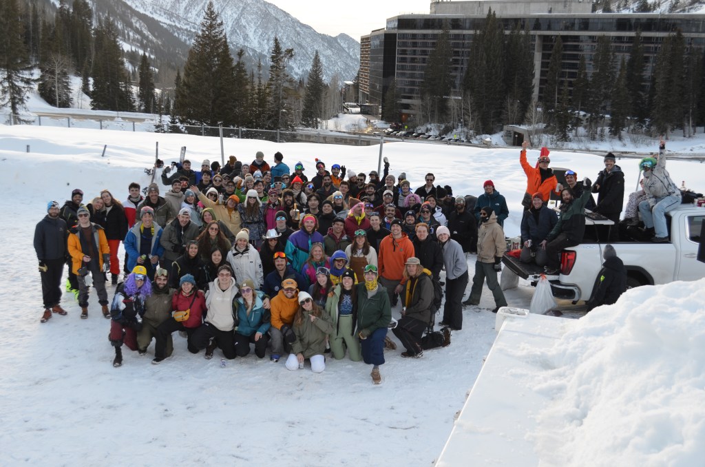
    The whole crew posed halfway through the week at our annual parking lot party

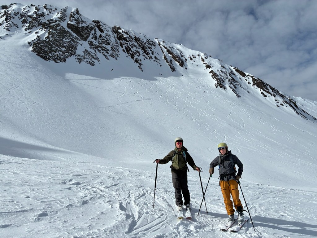
    Our first day was already quite special. Myself, Hokaj, and Devin had first made it out to Mt. Wolverine between Alta and Brighton in the spring of 2024 (see trip report here). We looked east to the impressive Wolverine Cirque, but opted instead to stay on the mellow and conservative Wolverine Bowl directly off the summit instead. This time our goal was to ski the prominent chutes described in the Chuting Gallery within the cirque itself. There were 17 chutes in total ranging in difficulty and they were all within about an hour of skinning from the top of the Millie chair in Brighton. This allowed us to keep the intro tour of the week very casual and serve as a warmup for the week. Luckily as we got to the top of the chair it was clear the path was well traveled. We quickly skinned on an established track and eyed the spectacular bowl from the base while picking out some potential bookpacks up the cirque itself. There were a few other groups in the area too, so we made the obvious choice to boot up ‘Granny Chute’. All of us in our group were much more fit than the year prior and this made for a speedy hike up to the ridge. From there we could walk over the ridge and look down our first objective: a chute called “Tips & Tails”. We took some photos of this line from the base and determined it was the most straightforward and filled in of the chutes in the area.

    Hokaj getting to the base of the cirque, bootpack via Granny Chute on the left and Tip & Tails cuts slightly diagonal off to the right

    I think we were all a little intimidated because it was the first real consequential line we’ve committed to in the range. Regardless of that fact, we skied much more difficult terrain daily in bounds so it just came down to staying calm and controlled for this descent. I made it down first and it was a total blast. Besides a small rocky crux I mostly linked turns the whole way down. Ian and Devin came down next and we all came down in pretty good style. After looking back up from the base and seeing the tracks we were all ecstatic and really to boot pack up for lap 2. This time around we were battling the clock. Our friends were already at apres in Brighton and we needed to move quick if we wanted to see them in time. Within about 15 minutes we had raced up the bootpack again and headed East towards the ridge connecting Mt. Wolverine and Mt. Millicent. We opted for a mellow exit line that brought us directly back to the skintrack. This time it was a party lap and we were all physiqued on the day. It was only a season or two ago that we had bailed on this area in our introduction touring days. Having the full circle moment that validated our progression made the expeirence much more rewarding. And as a bonus, we met up with our friends for a final round of drinks at Brighton’s A-frame bar.

    Myself making the first couple turns into Tips & Tails
    Devin styling the chute exit

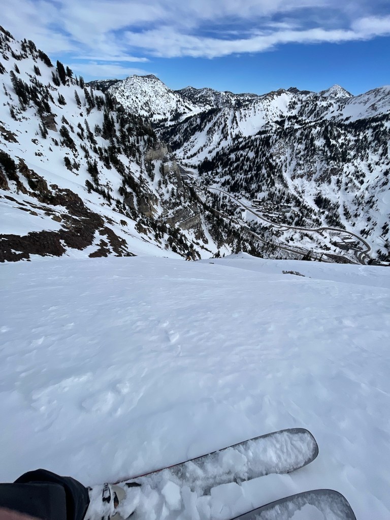
    Skiing the wolverine cirque on the first day of our trip immediately opened our eyes to the potential of the week. There were a few inches of snow forecasted for mid week, but otherwise there was an obviously safe and stable snowpack on all shaded aspects. Every once in a while we would bring up a new idea, most often mentioning our favorite zone off the top of Mt. Superior. Its south face was famous and was directly visible across the street from Alta’s ski resort. Given the warmer temps the south aspect was a stretch to ski, but there was a mini-chute that cut through the face on a NE aspect that was deep enough to keep the snow intact and away from sun exposure. At the same time, more and more people began to arrive and we had to spend the next couple days ripping in bounds. Needless to say, these few resort days were a blast. We had a great group of skiers and we all traded scoping out new zones to go explore throughout Alta and Snowbird. Then by Tuesday afternoon we finally got hungry enough for something more. Our usual crew were getting some Alta Bombs and a snack at Goldminer’s Daughter, the classic meeting spot for our crew. Four of us had our minds set on Suicide Chute, the NE line that cut through Mt. Superior’s South face. Two of them didn’t have backcountry gear, but the route was such a direct line up the face we could just bootpack straight up.

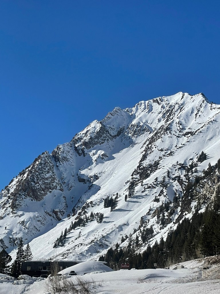
    Mt. Superior from Goldminer’s Daughter, Suicide Chute is the obvious line in the shade

    Before we knew it, we were driving down the canyon and to the base of the line at 2pm in the afternoon. We were all in great moods and singing along to songs we had blasted in the car to boost our energy for the vert ahead. At the same time, I also felt quite responsible for the group’s safety. Only myself and Devin really had experience in this type of terrain. We traded off setting the bootpack on the way up and sandwich our friends between us. I had an extra ice axe for each of them, but none of us had crampons. This meant Devin & I needed to really punch in each step to make sure they were stable enough for a safe ascent. The chute was only about 40 degrees but a fall would still be pretty gnarly. Halfway up I took over the lead and really had to work for good footing. Looking down my buddies were definitely a little on edge and taking their time up the ~1500 ft climb. After about an hour and a half we finally reached the highpoint and sat atop the comfortable saddle ledge feeling victorious. Devin started playing some music again and we sat in awe of the setting we see so often from the opposite perspective. It was time to descend and we all knew it necessitated substantial concentration. My first few turns were cautious and slow, making sure to get past the worst of the firm chop at the top of the line. Once we regrouped at the first pitch however, I let loose a bit more and made some incredible turns down the middle of the chute. The rest of the group followed and everyone was skiing great. For me this was quite a special experience. Skiing a classic Chuting Gallery line was one thing, but I also got to introduce my good friends to the ski mountaineering experience in an epic fashion.

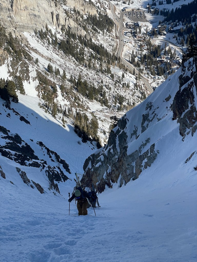
    The ascent of Suicide Chute was pretty cool too
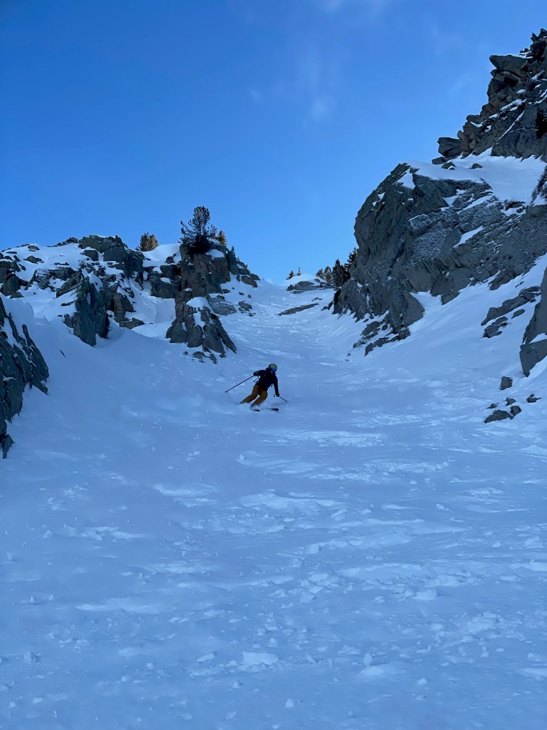
    Devin making some turns down from the top of the chute

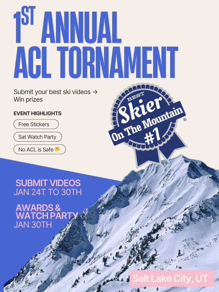
    On Wednesday after coming down from the high of Suicide Chute, the real ski trip started to form. We had the majority of the group arriving this night and the rest of the week would prove to be utter chaos. For the most part we’d be skiing all day and celebrating with way too many people at night. To add to the craziness, my friend Kasia and I had organized a video contest for our group dubbed the “ACL Torn-ament”. This was a karma-inducing play on the countless injuries people in our group had experienced over the years but really was a light hearted effort to get people to have more fun during the week. We had made t-shirts with hand crafted graphics, an instagram page for publicizing the contest, and stickers in the theme of the PBR logo for anyone who would participate. Despite the lack of great snow, this still served as a great incentive for my group of ski friends to search for new lines, chutes, and cliffs. And then of course a larger portion of the group submitted hilarious videos from every category possible that was not skiing. While the contest was ongoing and more people continued to join in on the fun, my hunger for exploring the backcountry still lingered. Luckily for me, a bigger group of friends who had flew in the night before also wanted in on another tour.

    The ACL tornament poster and promotional sticker

    This time around we had a different objective in mind. My local friend Hokaj mentioned that there might still be some remote patches of soft powder left refrigerated in the shaded gullies of north facing terrain. This snow had been resting idle for a couple weeks now and we were hoping it had remained below freezing to stay relatively intact. Ultimately we decided to explore the Cardiff pass area across the street and over the ridge from Alta. I had always wanted to explore this area given its status as the best powder stash near the big resorts (at least that’s where all the heli tours went). It also was the first half of the approach to Mt. Superior itself, which would mean this tour could serve as a sort of scouting mission. However, it also meant that we would need to gain the frozen and choppy south aspect to make it over the ridge. With a mixed group of 6 and an early start, this aspect proved to be quite a nuisance. None of us had ski crampons, so we slid and slipped our way up some precarious kick turns and slowly made it up the hill. There was a pretty high chance this wouldn’t even soften up for the day, so we really were banking on some better conditions looking north. While we transitioned to boots and walked across the ridgetop, Hokaj, Devin, and I looking further ahead towards the larger objectives on Superior. Two chutes were most prominant off the north aspect of Mt. Superior and immediately captured my interest. Next to them was the Cardiac ridge, an impossibly steep face with some of the most intimidating chutes in the area. The whole region had tons of potential, but was also another 1-2 hours at least away from our group.

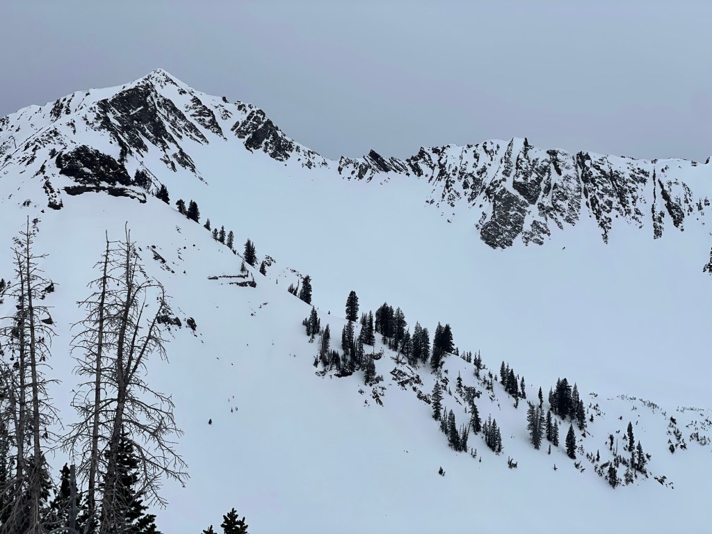
    The view of Mt. Superior to the North, our vision for the end of the week

    For now we were after the terrain next to ‘Powerline’ ridge. The snow looked relatively untouched and we all hoped for some soft turns at last. The first few members of the group started down and we could tell right off the bat we had scored. The pitch wasn’t that long, but it was a surprisingly fun little gully with the best powder any of us had that month. The hike out of the drainage wasn’t that bad either, we had only descended maybe 800 feet or so. Afterwards half of the group needed to make it back for lunch and the usual three of us (Hokaj, Devin, and myself) made it back up to the ridge for lap two. We had considered going further to check out Little Superior, but on the horizon we saw some big clouds moving in and opted for a quicker exit. That moment at least set the scene for later in the week, where we would still be craving some of the bigger terrain ahead that we couldn’t make work this day. And so we made it back down the drainage for second portion of remarkably intact snow. The three of us moved pretty fast and were back at the ridge for our third time that day within another half hour. The south aspect then proved to be exactly what we expected and the few turns made never really became soft corn. Regardless, the tour proved to be a great scouting mission and we had a much better perspective on the snowpack, weather, and terrain ahead of us.

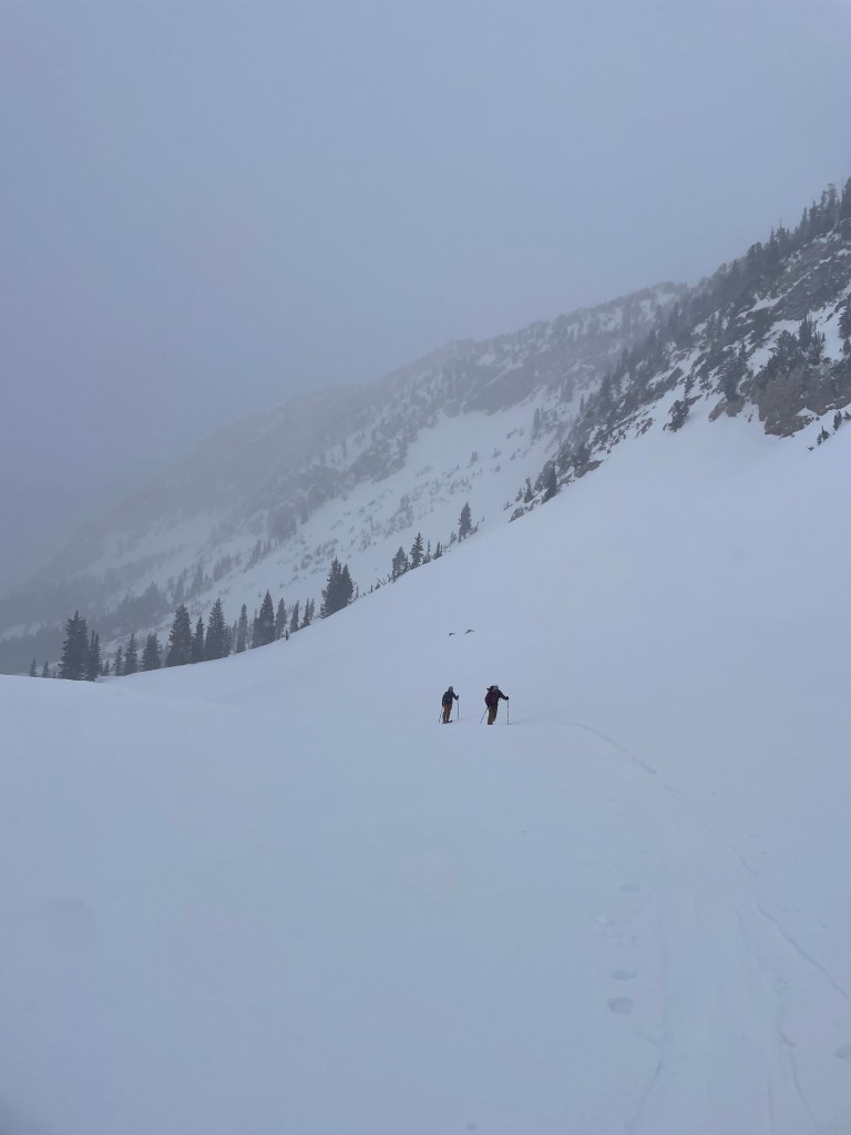
    Skiing back up to the ridge from lap 2

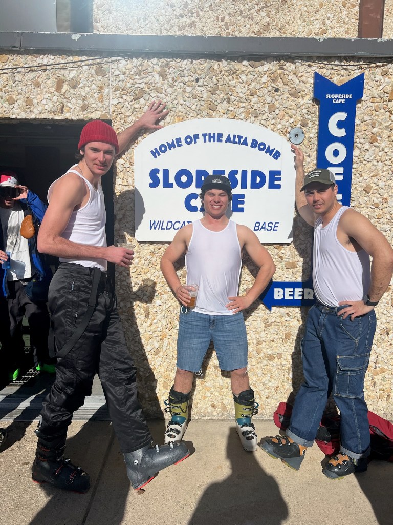
    Thursday night, Friday, and Saturday are really the highlights of our trip. On the first night, our entire crew made it to a strangely large open bar for a collective night out. Even though my energy was running low, I was almost always recharged in the morning with new arrivals and surprisingly good weather. By Friday it was time for our annual Parking Lot Party (PLP), which took over a rarely used lot at Snowbird and served as an epic apres venue. My friend Plump DJ’d the event as usual, while the rest of us danced and enjoyed a massive crowd of friends. Saturday was another day full of party laps and a group of us aim to celebrate ‘Jeans Saturday’ with a full denim attire. We posed quite a bit while hanging at Goldminer’s Daughter and then skied a victory lap in jorts & tank tops down Wildcat. The trip was nearly over by this point and almost everyone was winding down towards the evening. Really there was only the three usual suspects who had something bigger planned for the final day. Hokaj, Devin, and myself all had an open schedule on Sunday and were hungry for one final push towards Superior.

    Celebrating ‘Jeans Saturday’ with some friends
    Some of the crew enjoying our daily Alta Bombs at Goldminer’s daughter

    Our plan was fairly ambitious: we’d bootpack up the East ridge to Mt. Superior’s summit, ski down the cardiac chutes to the north, see if we could score some powder laps, and then exit somewhere around Superior’s south aspect. The ridge was pretty exposed for my partners and I really was not sure if the south face would be skiable safely, so we came into that final day with reserve in case we had to pivot. That morning we managed to make it out the house fairly early and munched on some breakfast while driving up the canyon road. Skinning up to the ridge was easier than our first time and we began booting up the ridge fairly quickly. The route started off pretty mellow, but it was clear the route ahead was rockier and steeper. Another more experienced group passed us while we strapped on crampons at Little Superior’s peak. At this point I could tell Hokaj and Devin were on edge, but I had some solace that we could follow the group ahead and make it there safe. A few sections of the ridge did prove to be quite daunting. We had to scramble on rocks a few times and avoid looking down the exposed faces in both directions. A fall would be very unlikely, but also quite consequential. Finally making it to the summit was a surreal experience. To the West lied the slightly taller Monte Cristo peak, which was absolutely stunning and hung strikingly over the Salt Lake valley below. The group ahead of us were already transitioning at the summit and were about to ski the ‘Heart of Darkness’ chute. It was a popular and steep line that was guarded by a rappel into the opposite drainage. Although we would love to ski that line eventually, our objective that day were the two north facing chutes directly off the summit. They were in decent condition and the three of us were incredibly physced to have made it this far.

    East Ridge of Mt. Superior
    Some short rock cruxes on the ridge
    View of Monte Cristo from the summit of Mt. Superior

    Devin went first and linked some great turns the whole way down. Hokaj and I were next and tried our best to follow suit. In contrast to fun powder gullies, the steep chutes made for big and controlled turns while in a wild setting. For me this is just as rewarding and we group up at the bottom excited as ever. At this point we had been moving for a few hours and had to decide our next move. Skiing all the way down to the base of the drainage was our original plan, but it looked like fairly low angle terrain for how much distance we’d need to cover. Devin was also feeling a bit under the weather, so Hokaj and I decided to branch off for some cheeky powder laps up the cardiac ridge face. Another group had just skied down and it looked like an epic descent for a relatively quick 500 ft skin track. Hokaj and I raced up in about 15 mins while Devin took some videos from down below. Above us were the incredibly steep Chutes that served as some of the cruxes of the Chuting Gallery. For today, we were gifted with some fast and soft turns down the face in tandem style. The whole excursion was super quick but certainly added to the day.

    Cardiac chute on the north side of Mt. Superior
    Devin and I standing below Cardiac ridge and some great powder turns in its apron

    When we grouped back up with Devin it really was time for us to start making our exit. Our goal was to time our south face descent for about 3pm when the snow would be softest. Given the exposure and unfamiliarity of the terrain, we opted for the safer Little Superior gully. We had scoped this line out from the Parking Lot Party and knew that it connected with relatively mellow terrain from top to bottom. All three of us slowly made our way down in discrete pitches. I was pretty tired and wanted to make sure I had the strength for controlled turns down. The gully winded back and forth and had some great pockets of real corn on the way down. We all traded taking videos of each other descending some epic terrain consisting of steep rock walls and hanging snowfields on either side. Towards the bottom the route more clearly became well traveled. Moguls and ski tracks were everywhere and we felt we had made it past all the high risk portions of the day. All that was left was to bushwack a bit at the exit before we made it back down to the road to end our day. Before we could rest we’d have to walk and hitchhike up the road to make it back to our car. On the way we were over the moon from the day and were recounting some of the more perilous steps we had made over the ridge. In my opinion this was probably one of the coolest ski tours I had been on to date. We summited one of my favorite peaks in the range, skied a diverse and epic set of terrain, and shared the day with great company.

    Mandatory tips shot while descending the Little Superior gully

    Afterwards we got some food and drinks with our small crew, but were nearly empty of energy from the craziness of the day and the past week. My flight was later that night and I luckily made it back to Hokaj’s place in the afternoon for a much needed nap. Looking back, this week was probably one of the coolest ski vacations of my life. There was barely any snow and yet the open backcountry terrain coupled with a million of my good friends easily outweighed that fact. Luckily for us, the next year’s trip planned began the day we left and I’m sure we’ll top this year in the future.

  • Learning to Ridge Climb

    Learning to Ridge Climb

    Alpine climbing is an inherently polarizing experience. My friends and I’s last trip to the HighSierra (link here) was just as incredible as it was exhausting. Alongside climbing in a truly unreal setting, we achieved our longstanding goal of climbing Whitney in good style. It also was one of the most sustained and difficult physical experiences in my lifetime. We overcame challenges at pretty much every turn and I spent nearly every waking hour either driving or climbing for 2-1/2 days. Coming back from a trip like that convinced me to take an extended break from big backcountry trips. I knew that I’d earn a new inspiration for climbing if I was patient and gave myself time to decompress after such a harrowing adventure. So for a month or two this summer I spent time in the bay area enjoying biking, camping, and running in and around the city. But as Fall came an opportunity arose that reignited my energy for big and challenging objectives. This time it was a route that Trevor and I had been eyeing up ever since our trip to the Grand Teton and one that we’ve failed to commit to several times. Bear Creek Spire is a nearly 14k ft peak between Mammoth Lakes and Bishop County and is home to three classic alpine climbs (as listed in the book “Sierra Classics: 100 Best Climbs in the High Sierra”). We were interest in the easiest of the three located on the NE ridge. It was rated between hard 4th class & ~5.5 climbing when sticking to the true ridgeline, but was substantially longer of a route than we had climbed before. It rose ~1500 ft above Peppermint Pass and about half of this was steeper than 3rd class terrain. It would require us to move much quicker than we had in the past and climb without necessarily using a belay for all pitches. Given we’ve never simul-climbed before, Trevor and I knew we’d have to give ourselves time and strike with a good weather window. So midweek on an early September day, I messaged Trevor and committed to driving out that coming Saturday.

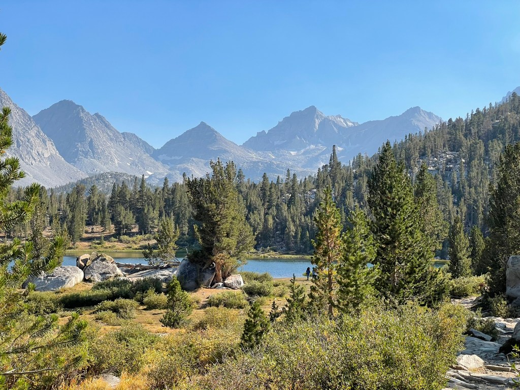
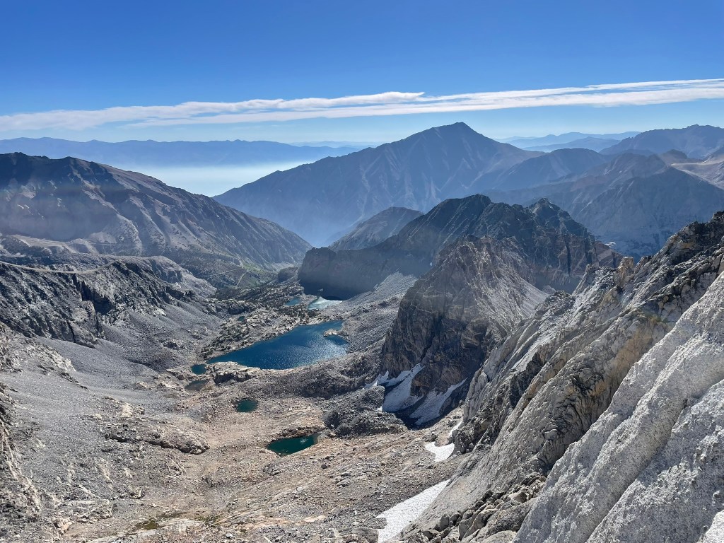
    The incredible Little Lakes Valley with Bear Creek Spire most prominent

    The plan was to arrive at Mosquito Flats trailhead by around 3pm that day. We’d hike in a few miles and camp right below the talus fields encircling Bear Creek Spire. This would give us a full day to climb the route, hike back to the trailhead, and drive back home. In classic fashion it would be two days of almost continuous movement. Despite this, driving out felt easier than usual. The whole time I was excited and nervous. I knew I’d have to just stay calm and excited in order to keep the right headspace. Luckily I made it to the trailhead right on time and missed nearly all the traffic on the way. The only hiccup was driving through a ominous trail of smoke clouds engulfing a large portion of the Eastern Sierra on the way down to Rock Creek. Winds were coming from the SE and we were pretty sure we were in the clear. At the trailhead we also realized I had forgotten by Rockie Talkie and headlamp, but keep on regardless to save time. As we hiked in it was easy to forget about these issues, the scenery was incredible and the tail was nearly dead flat. Along the way we continued to pass serene lakes lined with tall wavy grass and accompanied by calm rivers. We passed handful of backpackers and fisherman who all seemed similarly at peace in the valley. Bear Creek Spire was the largest peak visible ahead of us and towered over the valley. The NE ridge was big and it ended in a knife edge ridge which guarded its summit. The ambiance was similar to the Grand Teton in that our entrance was peaceful and juxtaposed by gigantic and imposing rock spires ahead. But in all the hike went quickly and we were able to set up camp in the light with time to spare. Trevor even brought a switch to play Silksong despite us not really playing much at camp. Bed time was just after 9 pm and gave us nearly a full night of sleep ahead of our 4 am alarm.
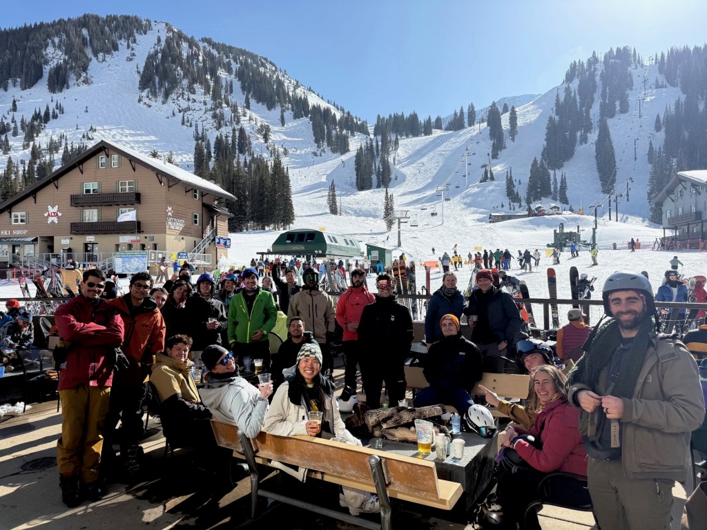
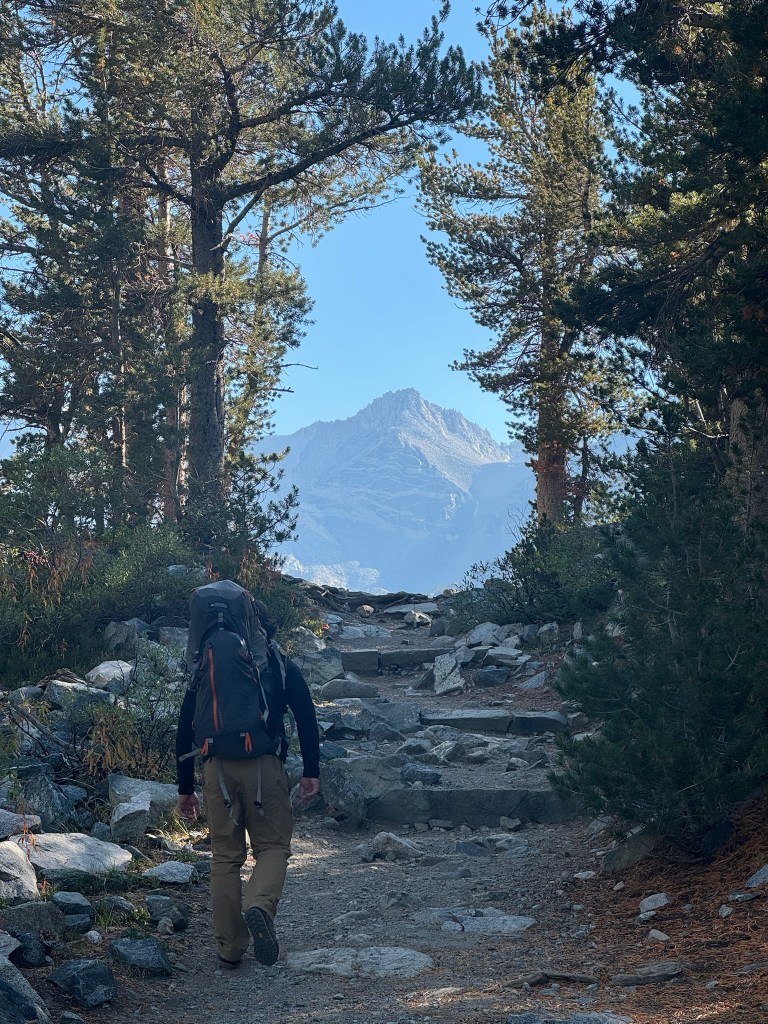
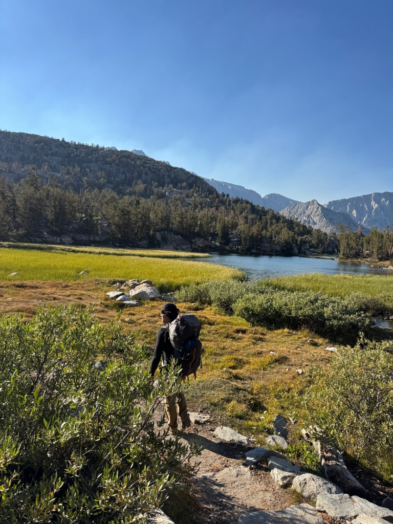
    A portal to the mountains within the valley trail
    Incredibly lush grasses and rivers were constant
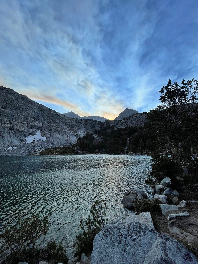
    The view from our campsite with Gem Lake in the foreground and Bear Creek Spire out of view

    Throughout the night, we both were awoken several times by the forecasted wind gusts coming from the Southeast. When the alarm finally came I couldn’t avoid the thought of bailing for the day from the thought of what was ahead. Despite the apprehension, Trevor and I just moved on to packing and eating breakfast. We carried a 60 m rope, a full rack, about 2L of water each, a puffy/windbreaker, and a modest amount of food. Overall we were fairly light for our typical alpine setup and it wasn’t long until we started climbing up the talus fields ahead. For the first hour or two, I had the privilege of climbing in the full moon’s light in leu of my forgotten headlamp. The terrain consisted of shallow angle boulders maybe 2-10 ft in size for several thousand feet. It was much slower than a trail of the same slope and required more care to protect leg or foot injuries. As usual it felt endless, but we were making pretty good progress the whole time. As the sun started to rise, we were nearly Peppermint Pass as intended. The ridge began soon after this point and we decided to take a break for refueling. My stomach wasn’t feeling great and I wound up vomiting almost immediately after an ill chosen protein bar. It was a dumb mistake on my part, but I knew I had to get calories in and was able to hold down the rest of my energy gel carbs. Ahead of us was a few hundred more feet of easy scrambling until we passed a large tower to our ridge and saw the ridge steepen.

    A little over halfway through the endless boulder field and a view of Bear Creek Spire
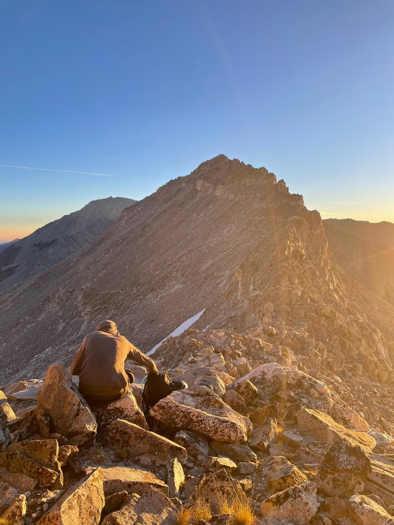
    A refueling break as the sun was rising
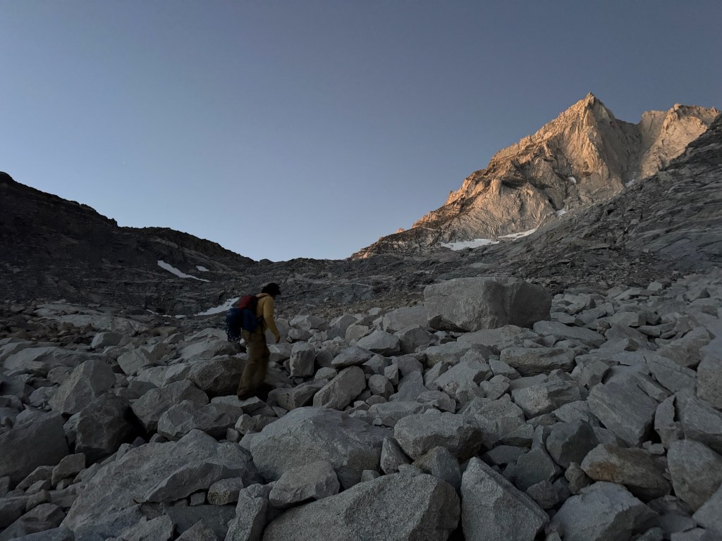
    A view of our route ahead in the morning’s Alpenglow

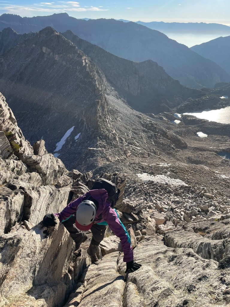
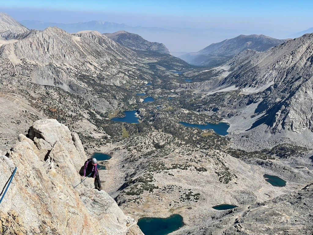
    At this point the sun was in full view and I was excited to get started. Trevor got the first lead and was gifted with beautifully layered and fun climbing up flakes that reminded me of Dr. Seuss’ imagination. The ridge was still fairly wide too at this point and I was feeling confident on the terrain so far. Still there was 800 ish feet to go and we both knew we had to move quickly. Next up was my lead and the ridge went back to relatively easy terrain. I placed one cam where there was a briefly exposed move, but otherwise climbed quickly on. At some point I reached the end of the rope and still felt the climbing was solid 3rd class. I yelled back to Trevor and told him to break down the anchor so we could try and simul for a while. Before the trip I was terrified of simul climbing because it wasn’t really good protection. When I saw the terrain in the moment, I better understood its use. We could climb quickly through easy terrain that I was 100% confident in and the rope still made me feel better about our setting high in the ridge. As a result, we blasted through about 400 ft of terrain and returned to a ledge below steeper terrain that was perfect for a belay. Trevor took the lead again and brought us through easy 5th class terrain and onto the true knife edge ridge of the spire. We were still moving pretty quickly at this point and our moods followed suite. Looking behind us Little Lakes Valley came into view and was truly spectacular. It was a green paradise scattered with deep blue lakes and was guarded on all sides by walls of striking granite. To our sides were endless peaks and valleys that all spilled out into the desert in the East. Mt. Tom was the most prominent and stood tall like a fortress as it was separated from its adjacent ridgelines.

    A view of Mt. Tom in the distance
    Approaching the first tower on 3rd class terrain
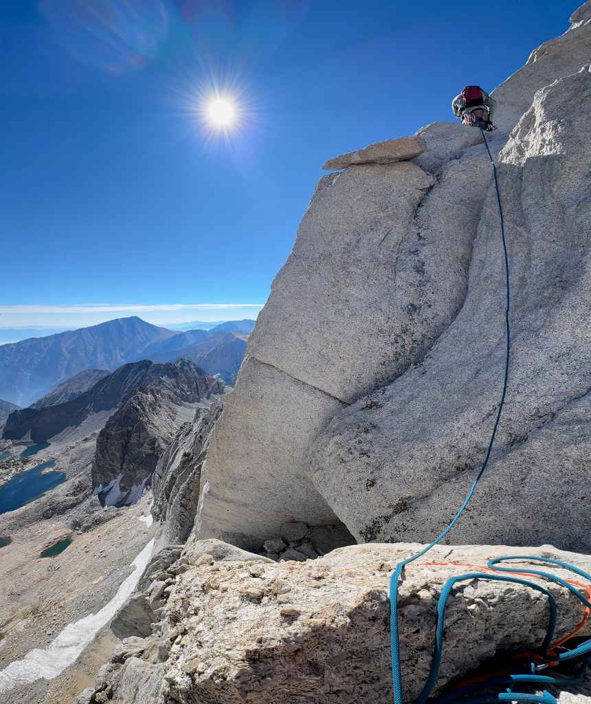
    Trevor making his way up our first roped pitch

    Looking back at the climb, I saw the sharp end of the rope and harder terrain ahead. This was the moment for me that makes alpine climbing so special. We just put in a tremendous effort to get to this pitch and now it was game time. Right off the belay was a couple of reachy moves to gain the next ledge ahead. There I didn’t see any great options outside of a corner with balancey feet to my left. I put in two pieces of protection and calmly search for good feet placements before committing off the ledge and over exposure. I quickly moved past the corner and onto stepped up to the next rest, which felt like such a great relief. Ahead were still home insecure moves here and there, but this felt like the obvious crux of the ridge so far. This made the climbing super fun and the thousands of feet of exposure on either end felt less intimidating. Before I knew it, I felt the end of the rope and made a quick anchor around one of the numerous horns of the ridge. The summit was pretty close and all that stood in the way was a traverse, short gulley, and maybe 50 ft more ridgeline. Trevor lead this portion and got through some cool moves of his own. But at the same time anchor building was difficult and we lost quite a bit of time through this portion of terrain trying to figure out the best systems for protection. This involved an awkward gear belay and a short section of hard to protect chimney’ing. Regardless once we made it through this section we immediately saw the summit block and knew we were gonna make it out okay. I still roped up for this section and made it to the summit register within 30 ft or so. Technically the real summit still required a boulder problem rated 5.6R. It was exposed to quite a large drop-off and seems like another case delicate footwork with an awkward mantle finish. We both immediately agreed to skip it for the day and instead focused on getting down the mountain. Behind us was another crazy ridgeline view with a Little Lakes valley backdrop I think I’ll always remember vividly.

    Myself on the sharp end placing protection ahead of the ridge crux
    Trevor following on the ridgeline proper with a glorious view
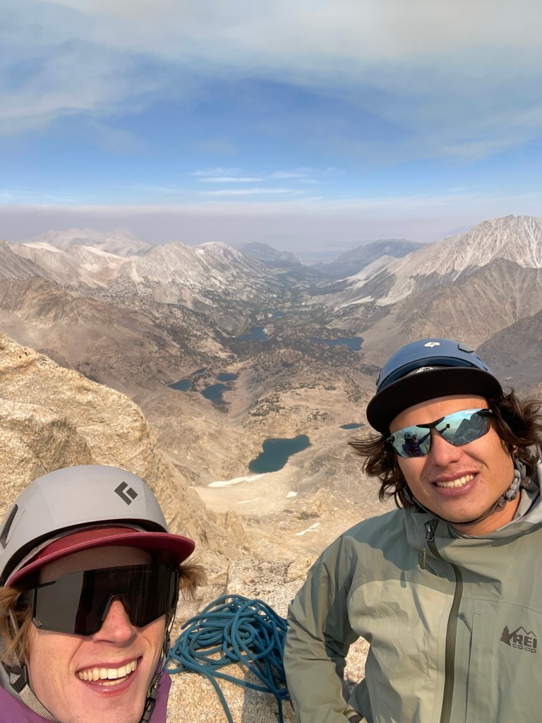
    Trevor and I at the summit

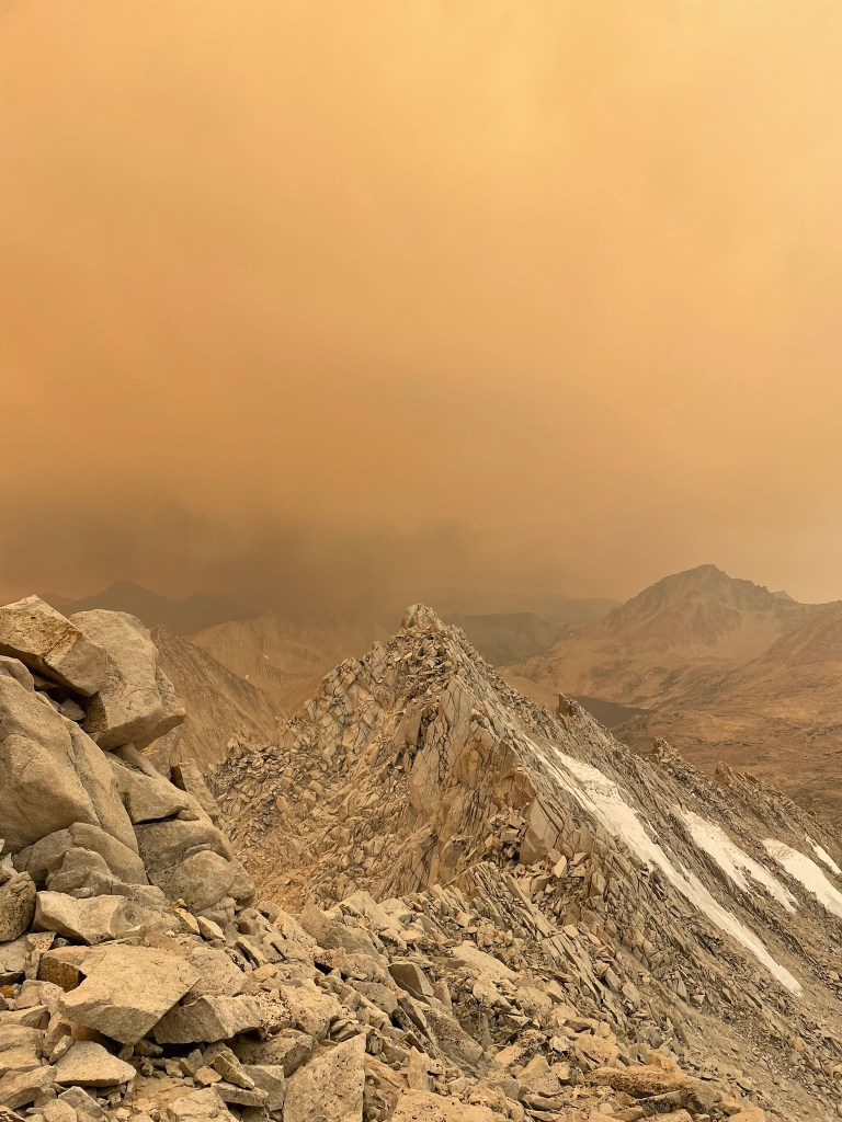
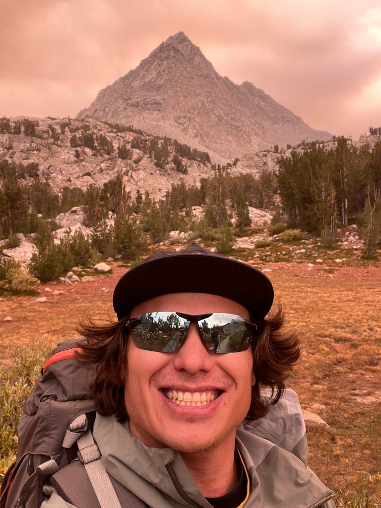
    But the view didn’t last long, as we added some cord to the existing tat-ridden anchor we could see a puffy and out of place cloud in the distance. Before we both made it off repel, the cloud quickly turned into large sweeps of red-orange smoke that would consume the entire area. Blue skies and sprawling landscapes turned into dramatically red tinted backdrops of nearby peaks and a otherwise brown haze. We joked about its resemblance of mars or mordor, but also wanted to get out of there as soon as possible. The smell was clearly of burning wood and exposure to this was certainly doing damage to our respiration. Making it out involved a return to the endless talus fields and so we got a move onto the next col between Bear Creek Spire the next NW peak. As high quality as the rock on the NE ridge was, the terrain following this col was equally poor. We chose to downclimb this section, which was maybe a hundred feet or so of 3rd to 4th class choss. Some of it was sand and some of it was large loose blocks that we’d toss down the mountain at our discretion. It was pretty clear we would make it down, but we remained on edge the whole time and had to be very methodical with our chosen hand or foot holds. At the bottom of this short headwall we returned to the endless talus. We’d take one or two short breaks and otherwise tried to descend as quickly as possible.

    Incoming smoke clouds
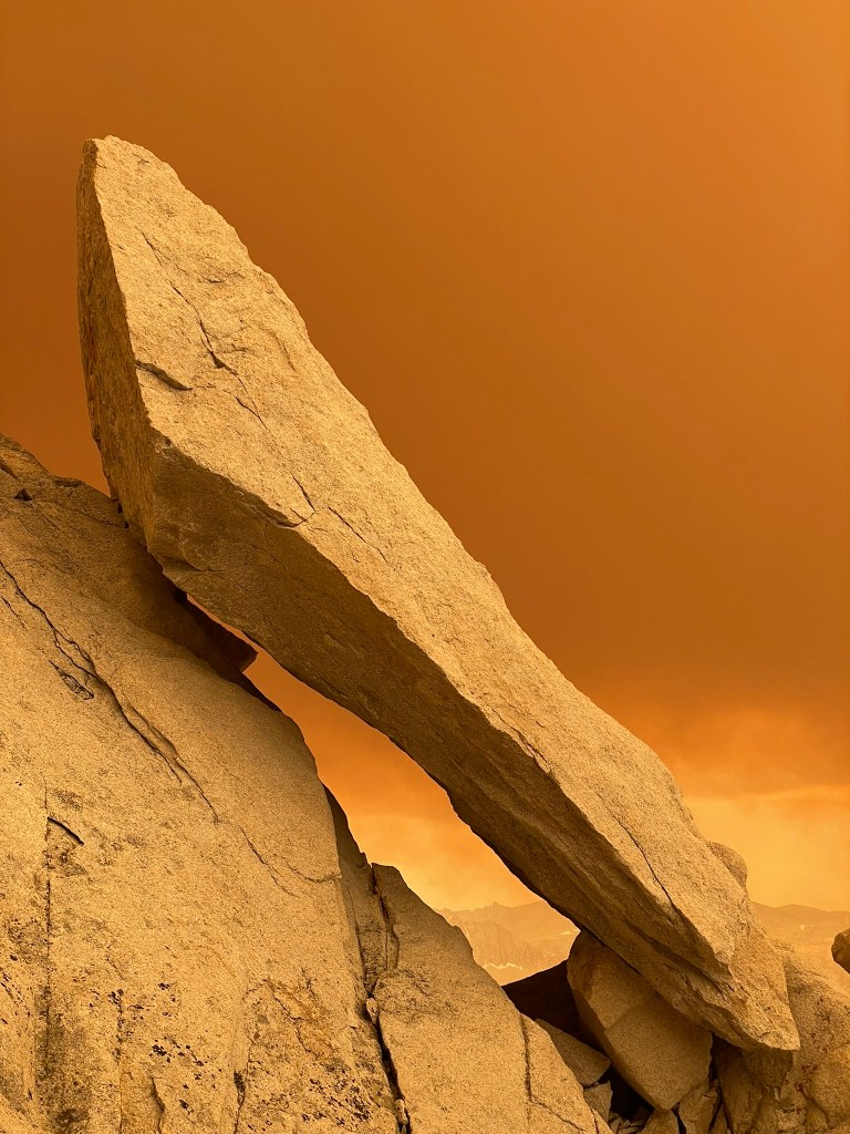
    An otherworldly rock
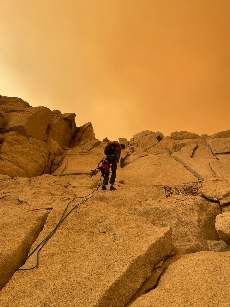
    Trevor repelling down in the smoke

    Without snow to cover these boulder fields movement is pretty slow compared to a trail no matter what we tried. Going to fast was pretty risky for injury potential so we just maintained as fast a pace as we could and would sometimes swaps leads to boost energy. Eventually we made it down to camp at around 4pm, nearly 12 hours since we had woken up. Once there we took another well earned break and were greeted by some older guys who were stoked that we made it back from the ridge okay. They were clearly nostalgic from their days of climbing and we exchanged some stories back and forth of our climbing experiences. It was a cool moment of celebration and we got to enjoy the fact that we did what we set out to do. As we broke down camp, Trevor even took a plunge in the lake and I took a few minutes to relax. After this was what I thought would be a short hike. As usual it still felt long and strenuous having to carry a big pack and having been moving for so much time. The way back smoke clouds still filled the whole valley and encouraged me to move fast. Some sort sections of uphill scattered about were brutal and I was exhausted again towards the end. We made it to the car just after 6pm and exchanged the last bit of gear between us. Normally I would have loved to celebrate, but instead we both rushed out of the trailhead and on our 6 hour journeys to SF and LA. Smoke lasted for nearly an hour of driving and finally making it back to clear skies was such a relief.

    A red tinted world on the hike out

    For another weekend, Trevor and I had an incredible adventure. I was impressed by the beauty of the valley and as usual was very glad we finally committed to the climb. This trip made for one of our smoothest alpine climbs to date despite many obstacles and unexpected moments along the way. I’m glad I took the time off I did to reflect and earn back the passion for mountains that enables these crazy adventures from time to time. Looking to the future I’m more motivated than ever to continue progressing in endurance, technical skills, and experience required to tackle more routes in the High Sierra. Its such a cool privilege to live nearby such an incredible range. Access will never be easy but it certainly makes these moments more memorable.
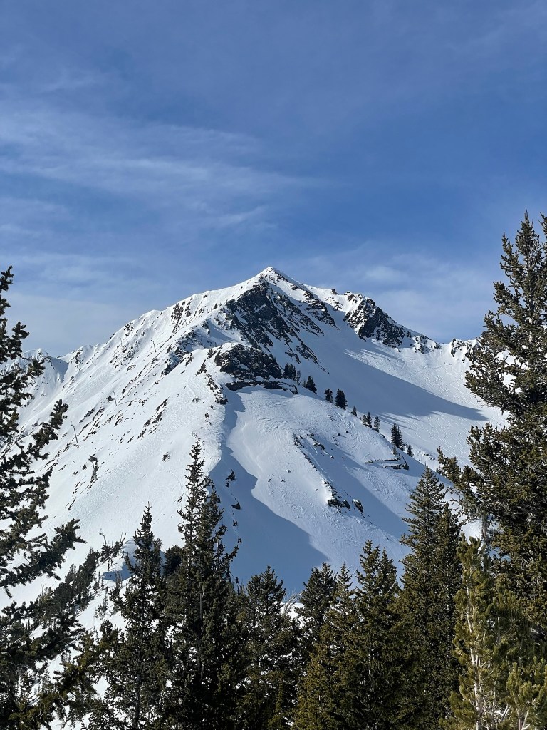
  • Summer Alpine Scrambles

    Summer Alpine Scrambles

    As June turned to July the existing sierra snowpack dramatically shrank, but I was still as determined as ever to get out into the mountains. I had recently bought SuperTopo’s guidebook on climbing in the High Sierra and quickly became intimidated by the possibilities the range provided. There was endless climbing potential just as there was for skiing and a huge amount of it was easy scrambling to low 5th class terrain. In my typical fashion, my first thought was to start at the beginning and tick off the 3rd and 4th class routes. So I started mapping out some possible routes on OnX backcountry just as I had done for ski touring in the previous months. One common trait was clear from the get-go: the high sierras require big and burly approaches through mixed alpine terrain. If I were to tick off some of these scrambling classics, I’d have to be committed both on a long drive in and a very long day out in the mountains. Once I accepted this fate I got back to researching route beta until I stumped across a way to ease the pain. What if we took advantage of a mega approach by linking more than one route? The sierras are known for massive linkups and traverses, so why don’t we follow suit? So the next day I messaged the usual crew and pitched what I thought was just within our limits of endurance in the mountains: a linkup of Mt. Russell’s East Ridge, Mt. Whitney’s Mountaineering Route, and Mt. Muir’s scramble from the Whitney Crest Trail. I wasn’t sure if this would be possible, but it certainly sparked the inspiration I was looking for and began a ~month long journey of big climbing days in preparation.

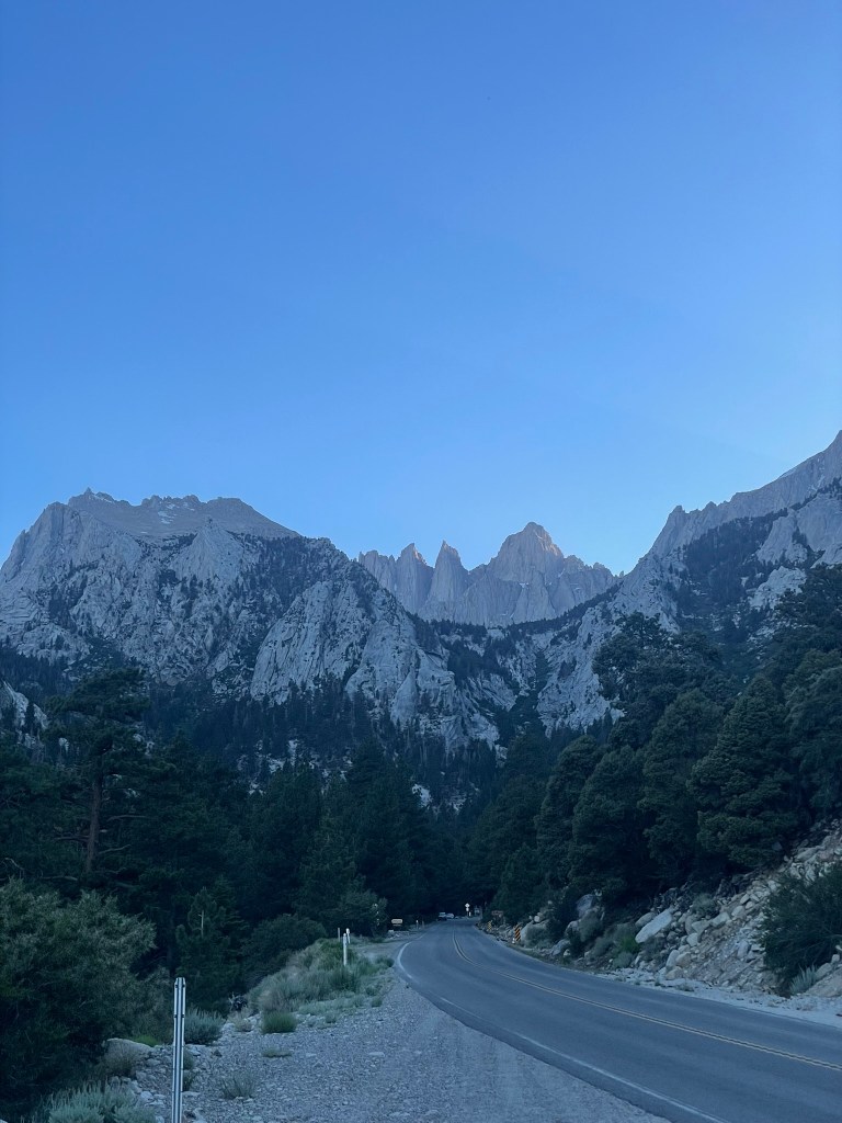
    The view of Mt. Whitney driving up to the portal

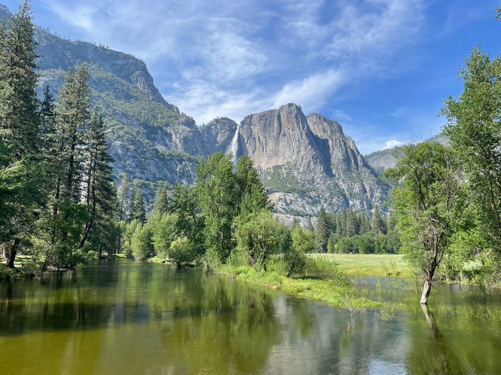
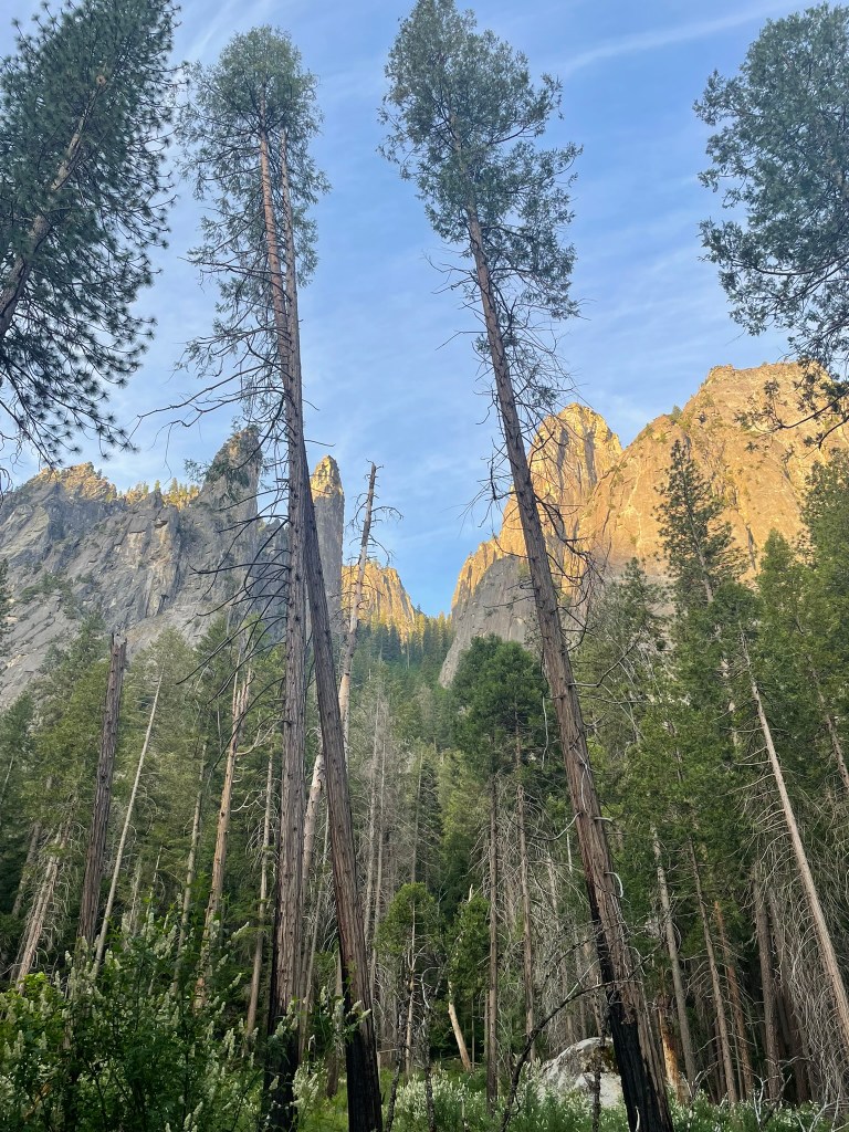
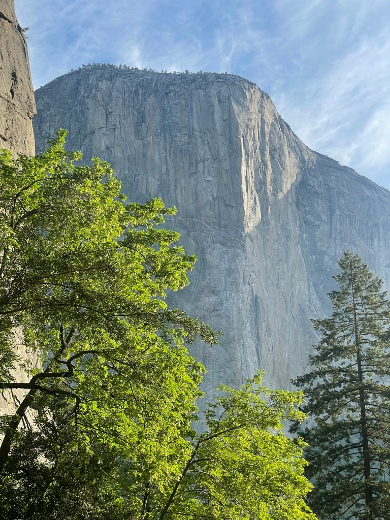
    The first step of my training plan came by surprise. My friend Joe invited me last minute to join two others on a trip out to Yosemite Valley. I hadn’t been since I was a teenager, but felt obligated to take any opportunity to go as a bay area resident. The goal was a big scramble and bushwhack to try and summit the three Cathedral rocks that towered prominently in front of Bridwell Falls. I got a link to a route description that claimed the whole trek was 4th class, but I had a feeling we might find ourselves in pretty sporty terrain. Luckily, two of the guys in our group were strong trad leaders & we carried some rope and rappel gear in case things got hairy. Soon enough, I picked up Joe in the Easy Bay and headed off towards the valley. That night we arrived at a campsite just passed Groveland and found the two others in our group already fast asleep in their tents for the night. It was ~10 pm and the schedule wakeup was regrettably 4:30 AM. This would sort of set the tone for the month, but doesn’t really change the painful wakeup each time. So we setup the tent, tried to get some sleep, and were greeted soon after by our partners in the morning. Good thing we did get up early, because the next morning I foolishly left my phone at the campsite and had to circle back at 5 am to retrieve it before we started off. Regardless, getting to the valley the second time I felt much more awake and took in the gigantic walls of granite that enclosed the valley like skyscrapers would in NYC. Even the three cathedral rocks standing 2000 ft tall in front of the trailhead were dwarfed by their older brother El Capitan dominating the meadow below. Its incredibly inspiring to be in this place with the knowledge of its unique formation and rich climbing history across the last century. I was excited to start that journey for myself in the valley, even if it paled in comparison to what was possible.

    Classic California view on the way to the valley
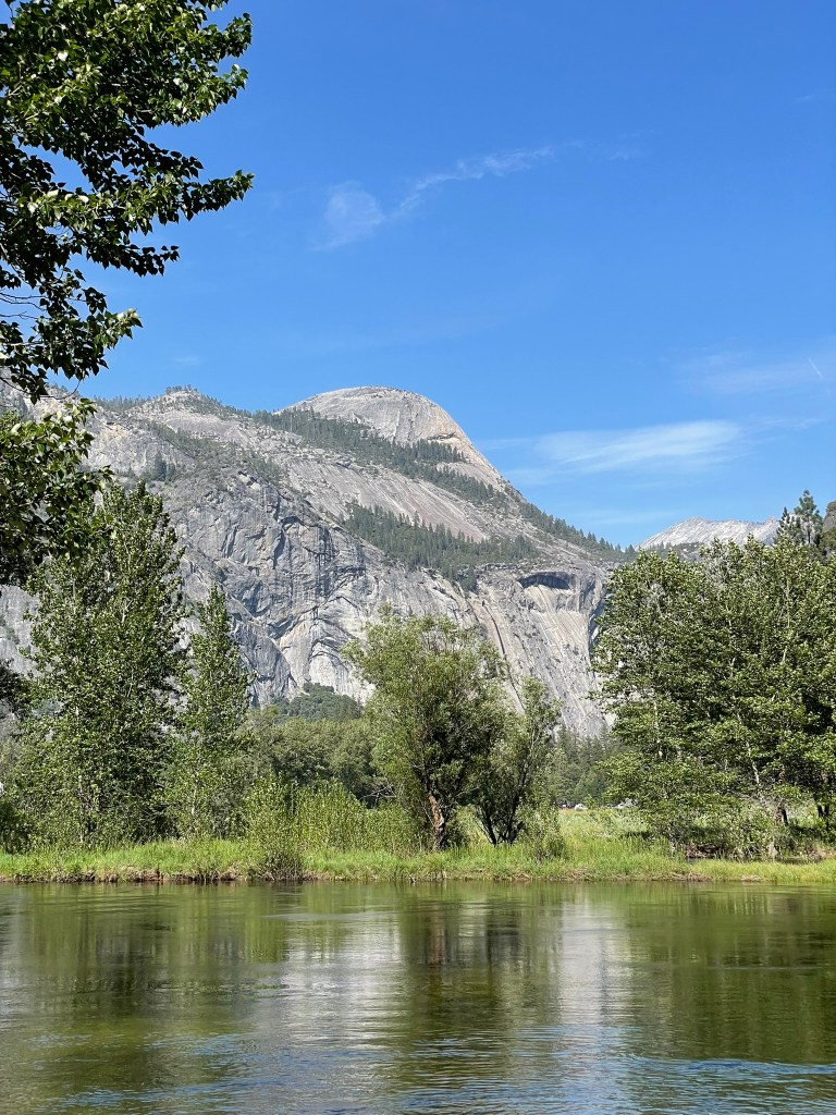
    View of the Cathedral group from the trailhead

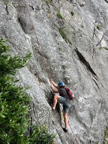
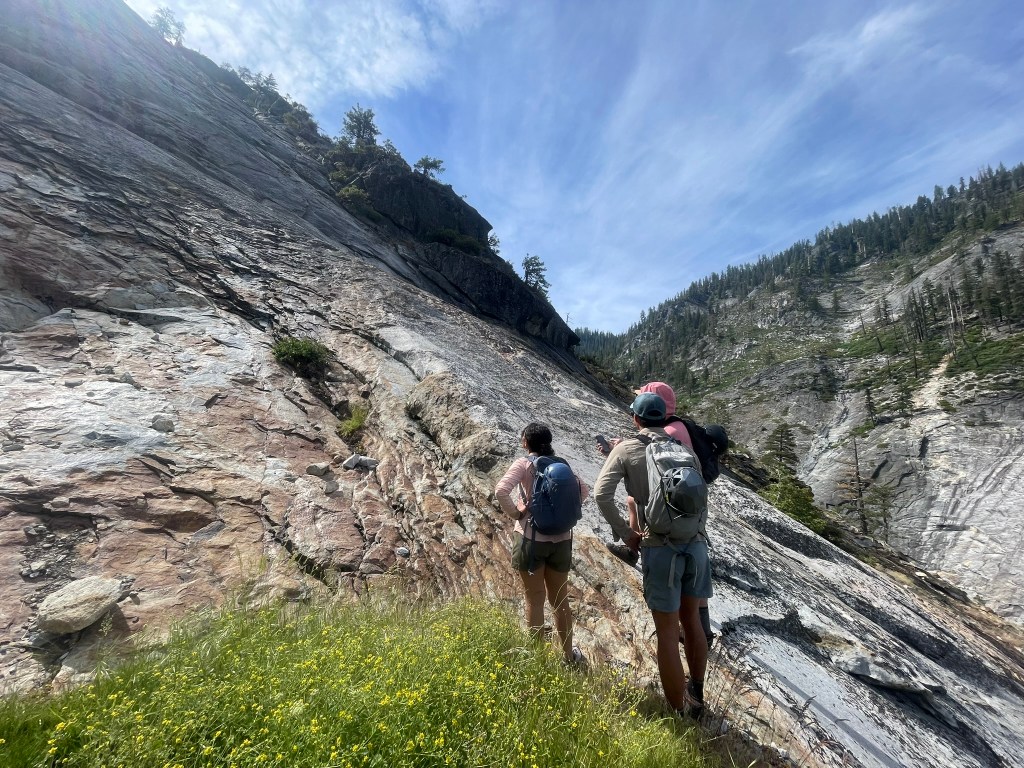
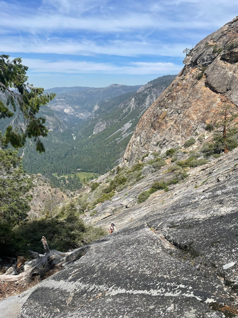
    By the time we started again, it was about 6 am and we had a short hike to the start of the gully between middle and lower cathedral rock. We cruised through this section and made it to the base of the route. First up was Gunsight to lower cathedral, which was the normal descent for the adjacent routes and had some fixed lines running through the crux sections. For the majority of this section, I avoided pulling on rope and got through the steeper sections without too much trouble. Behind us loomed El Capitan, framed perfectly by the ‘gunsight’ of the gully. Frequent ledges made resting easy and it wasn’t long until we reached the true crux at the top of the route. My more experienced friends opted to solo the ‘5.4’ ish terrain most directly ahead, but I opted to use fixed ropes on a slabby section to its right. Really this section felt pretty exposed too and I hadn’t used rope hand over hand before in this manner. Regardless I was glad to have the option and met the rest of the group at the top. Getting to the top of lower cathedral was pretty easy from here. We bushwhacked a bit and made our way through easy scrambly terrain until making it to the summit proper. This was the first peak of the day and it presented a spectacular view of El Capitan and the valley ahead. To our right loomed middle cathedral, which was the largest of the cathedral formations and was quite a bit higher than where we were.

    A zoomed in shot of me climbing up the slabby section with fixed ropes
    A spectacular view of El Cap from Gunsight
    Towards the end of the gulley, another fantastic vista

    After a short break we were off again, this time traversing behind the rocks and into the valley upstream of Bridwell Falls. We were lucky to have the whole place to ourselves, which felt pretty unreal for such an iconic destination. However, the path to Middle Cathedral proved to be a mix of heavy bushwhacking and endless slabby scrambling. We all took turns ‘leading’ the way as route-finding was pretty straightforward. I also through of this as great practice for getting comfortable in alpine terrain as I could choose how difficult or exposed the climbing felt. After this initial section came a huge slab that carried us several hundred feat and into the supper section of the rock. Looking behind us were breathtaking views of the valley, which seemed like a tiny hidden corridor compared to the main drainage in front of us. Before we summitted, there was still a good amount of extraneous route finding through manzanitas. When we finally made it through we were back to the incredible view of Yosemite valley and onto our second snack break. Our group was feeling pretty tired at this point, as we climbed most of the elevation for the day and still had one peak to go. One member of the group, Shereen, was debating whether or not to skip the last rock as she had just come off of a huge vacation and was pretty wiped from the trek so far. We looked at Upper Cathedral, which was far closer in comparison than our hike to Middle from Lower and decided to push on.

    Route finding in progress on the way to Middle Cathedral
    A sea of slab on the way to Middle

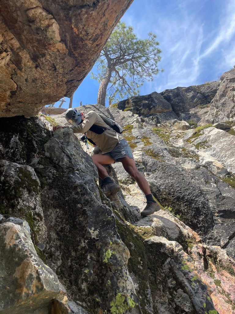
    The last rock did not come easy, we were met with tons of bushwhacking again and a few more steep scrambly sections. The most memorable of these we named ‘bush crux’, which was a short and steep section that both felt insecure and was littered with mazanitas. I followed my fried Tyler up this section and made it through by trying to focus on just the climbing as much as I could. I tried to avoid pulling on branches, but still had to muscle my way through some thick brush before exiting onto the final ramp towards the summit. Shereen had some more difficulty and Tyler was able to step in at the end to offer a helping hand. Finally after this section we were able to cruise up and tag the summit, even through we were pretty wiped it was nice to know the rest would all be downhill. So we quickly fueled back up and made our way down the final gully between Upper Cathedral and the Cathedral spires. The view of these spires was incredible: we could see them towering in front of the valley and even saw a pair of climbers impossibly making their way up its regular route. What was less inspiring was the descent, which required some hairy downclimbing in a large chimney. I was pretty mentally fatigued and got held up in a downclimbing stem move. It took some faith in a juggy but awkward undercling to kick out one foot to the opposite side of the chimney and finish off the crux. I committed to the move, but only after a minute or two of indecisiveness and feeling mentally fatigued from all the exposure of the day. Regardless we all wound up completing this without any major issues and started our was down the gully and back to the trailhead. Even through it was all downhill and was relatively short, there was still about 1600 ft of descent to go and it felt pretty endless. After maybe an hour or so, we finally made it back to the trailhead close to 9 hours after our start. It wasn’t the fastest climb, but given our relative lack of experience and three big summits I felt pretty good about the day. What made it was better was making our way towards the Merced river for some post climb beers and a much needed cool off. This was my favorite part of the day, as we could sit in the river with some drinks at the perfect temperature and look at the giant granite walls which encircled us in all directions. That night I drove back to the Bay Area and got ready for the next weekend of big climbing adventures.
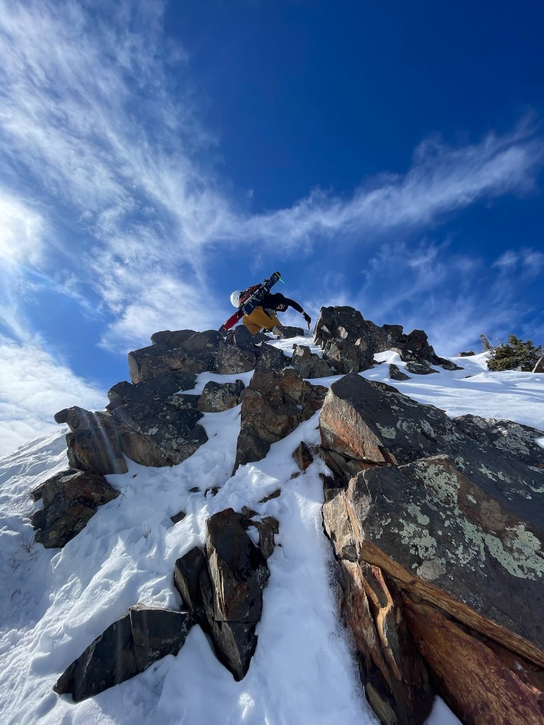
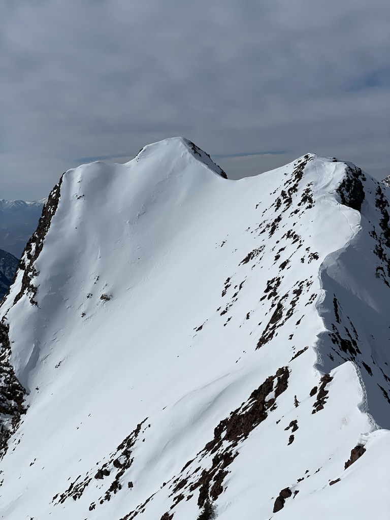
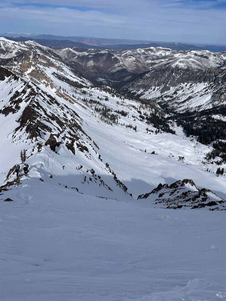
    Nearing the downclimbing crux
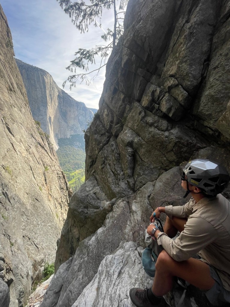
    Joe looking at the valley with Upper Cathedral Spire in the foreground (with a pair of climbers)
    Glorious Merced River basking

    After a week of work I was back off traveling to climb. This time I flew out to LA to visit some friends, discuss objectives, and get some more practice in with our Sierra crew. Our friend Matt had some good experience hiking and moving around the mountain in bigger terrain, but never went climbing in true alpine terrain or with ropes longer than one pitch. So the night before we chatted strategy on our Whitney/Russell/Muir linkup and decided to test out some skills back at Tahquitz for the following day. This wouldn’t be so easy as I had a flight at 7pm that next day and would have to make a quick day of climbing to get there on time. Fittingly I woke up at 4:30 for the 2nd week in a row and joined Trevor and Matt on the ~2 hour drive out to Idyllwild. It was my fifth time getting out there to climb, so we blitzed to the trailhead and made our way on the steep trail without much of a delay. Temps were still relatively cool for the summer so we knew it would be a crowded day. As we made our way to the route, we saw another group just racking up below the ‘Trough’. If we had gotten there 10 mins earlier we would have been the first up for the day, but still figured having other people generally helps to go slow and steady.

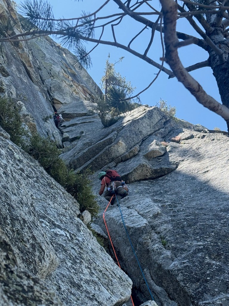
    Myself leading pitch two of the trough, the other group is right in front of us

    Despite the Trough being the easiest route up Tahquitz, it was still the first time for me climbing in a group of three and the first time I would lead pitch 2. Last go around it was only myself and Trevor so we planned to lead the opposite pitches this go around. Fortunately for me, I could rest and take the belay for pitch 1. This pitch was a total cruise, but still took a while due to the traffic ahead. We all made it up relatively easily except for some hiccups making sure I had the right ropes left clipped to protect Matt’s climb behind me towards the end of the pitch. Without these last few pieces of gear, Matt could fall and pendulum over quite a bit as the route traversed over. It was the other group that pointed this out to me and I couldn’t help but feel some extra pressure making sure we knew what we were doing in front of a more experienced group. Trevor who lead the route also had some issues setting up the first anchor and I spent a while adjusting its position while the other group made their way through the next pitch.

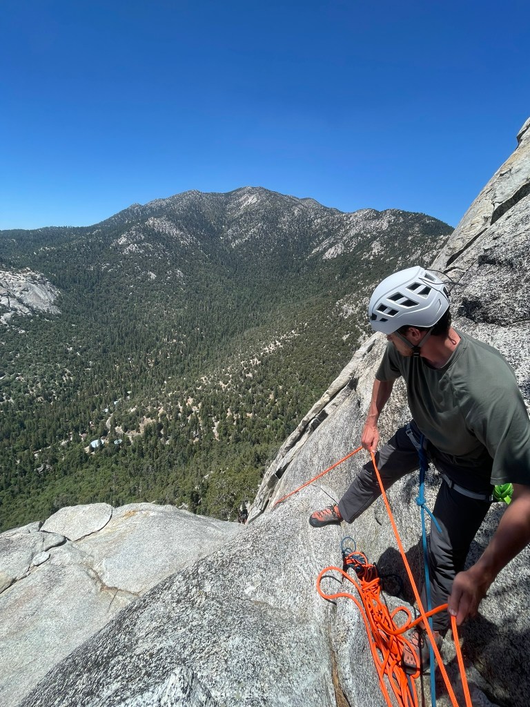
    Matt taking a turn belaying at the top of pitch 3
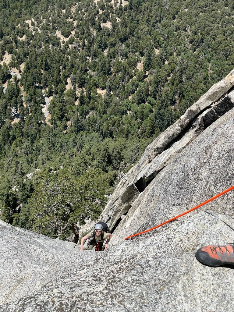
    Trevor making his way up pitch 3

    Soon enough I found myself back on the sharp end of the rope and knew that the delay from the other group was cutting into our time budget for the day. Feeling the pressure, I slowly made my way up the new pitch. The previous time we were here Trevor took quite a while to lead this, but I figured it was all 5.4 and I could cruise past. Turns out it definitely warranted the longer effort. The crux of the route was a bulge with few holds and an insecure mantle. There was a single piton for protection, but it was below the mantle above and I did not want it to trust it for a fall. As I explored options, my legs shook below me and I knew I needed to maintain composure. Matt and Trevor were belaying below and had a good line of sight on me getting through this section. Slowly I pulled out a small cam and placed it above me in a small seam. I considered pulling on it to get through the crux, but instead tried to hover over it as I brought my right foot up high. Carefully I committed to the step and finally got over the mantle. It didn’t feel very clean, but I was glad to have made it through the worst of the lead for the day. I was feeling relieved for the rest of the pitch and got a few more fun moves before the finish. One was a layback on a flake to get past a mini bulge while the other was an easy but exposed roof to finish off the pitch. I shared the belay with the other group, who were considering climbing ‘Piton Pooper’ to the left of us when I found that I had over-cammed and lost a #1 red C4. This was a bit sad, but I shrugged it off and soon after both Matt & Trevor arrived for the final pitch.

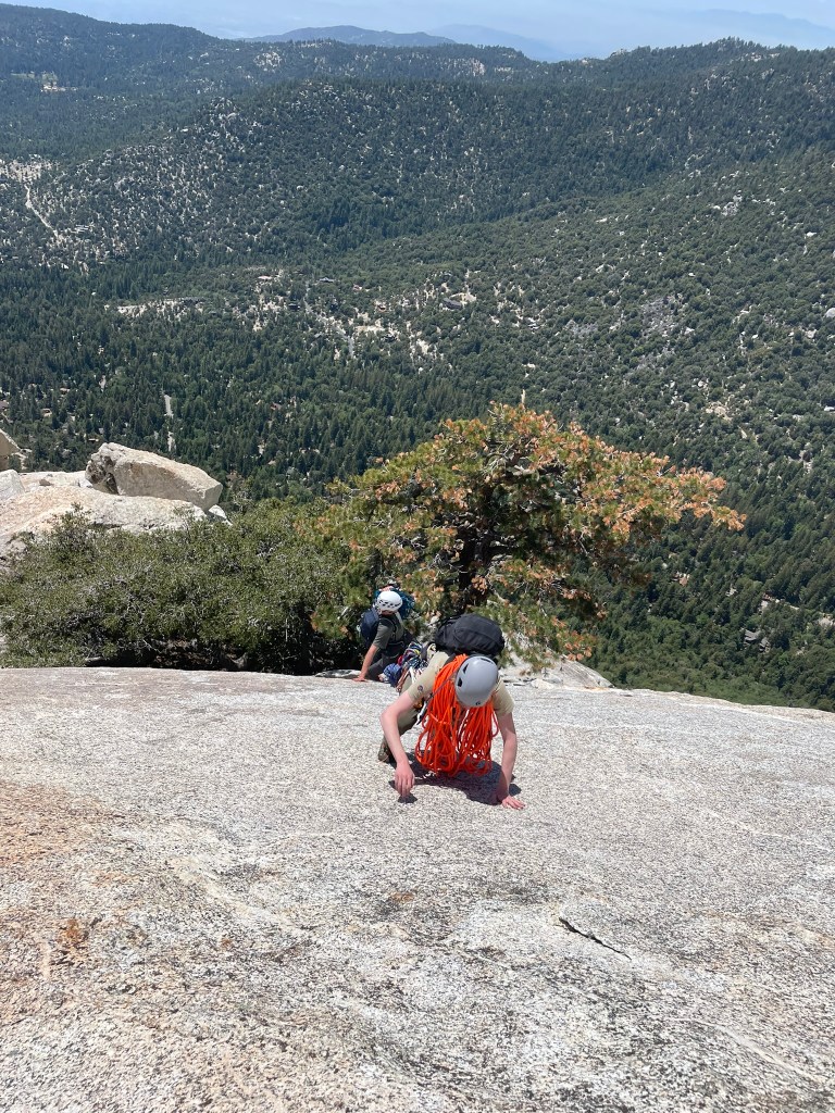
    Smearing up the class 3 slab at the top of the trough

    For timing reasons, I also lead the last pitch up the Trough. This was the easiest of the three but also the longest. I cruised past most of it, being careful to not loose any more gear and to climb a little smoother than before. This part was a great bonus for me and I even linked the last mini pitch to save some extra time. After making an easy anchor on a large tree near the summit, I delegated TR belaying to Matt and took a mini break for myself. We were coming up on our allotted time for the day so I tried to hope for the best and focus on making an efficient exit. Trevor quickly followed and we summitted right after a mini slab finish. At this point we briefly celebrated at the top and finally got to change out of our climbing shoes for the friction descent. This part was pretty straightforward and we blitzed for the exit to Lunch rock and the steep climbing path below. Before I knew it we were back to the car for our most efficient day at Tahquitz yet. Opting to skip any meal on the way, we quickly drove right to LAX in hopes of making my flight. On the way we were feeling great and thinking about the week ahead. Soon we would all be making our way to the Sierra for a true test of our endurance and climbing skillset. Both days out so far combined would not even match the total vertical feet climbed or distance traveled for the planned linkup. I felt ready to take it on, but also had to idea what we were getting ourselves into at the time. For the story of our epic adventure up Mt. Russel’s East Ridge, Mt. Whitney’s Mountaineering Route, and the last summit tag of Mt. Muir, I would recommend reading Trevor’s account: https://tbondi.wordpress.com/2025/06/20/triple-14er-russell-whitney-and-muir-in-a-day/

    The famous ‘Open Book’ route, 5.9, as seen on the descent