As June began I made a distinct shift in my unemployment journey. I knew I had financial runway to make it through the whole summer on my own terms. It was time to commit to climbing adventures while I could. To kick it off I messaged all the partners I knew in the area. I even pinged others for the first time on the Mountain Project ‘partner finder’ forums. Soon enough I had my plate full and began a quest out to the mountains in my camper Tacoma. It was my second time spending a full week out in the Sierra and this time I was more prepared. I had tons of meals, fuel, and gear prepared for just about any adventure or time away from home. Before I knew it I was off and headed to a familiar place. I would be meeting a group of friends, some new and some old. Our plan began back at Echo Lakes trailhead and would take us deep into Desolation Wilderness for a traverse across the Crystal Range. Climbing was not very technical, but would still be long day in the mountain to get our group acquainted with future missions together.
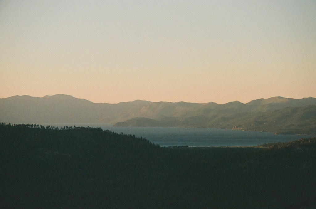
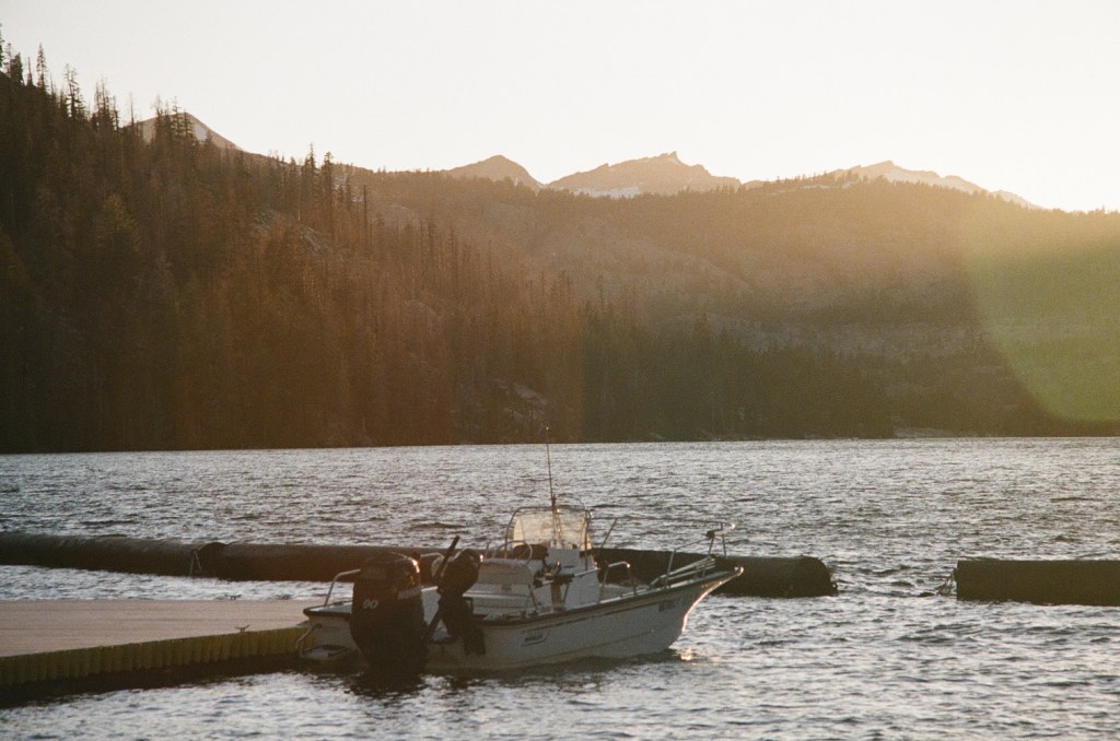
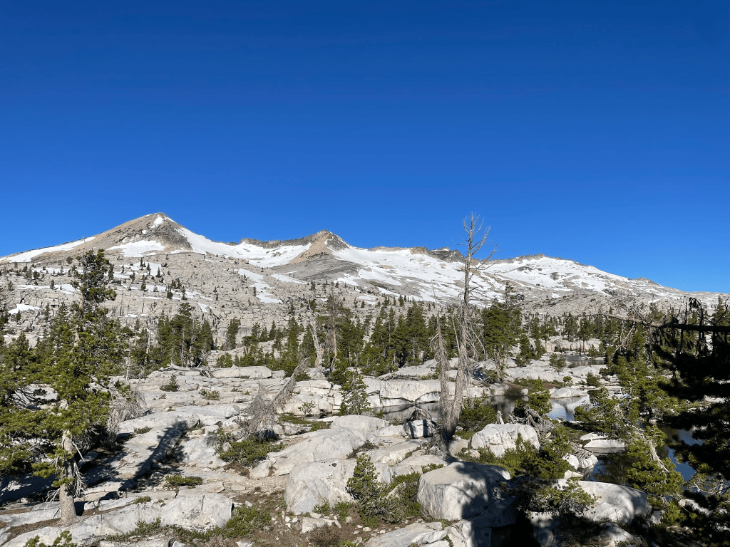
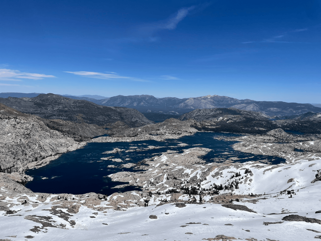
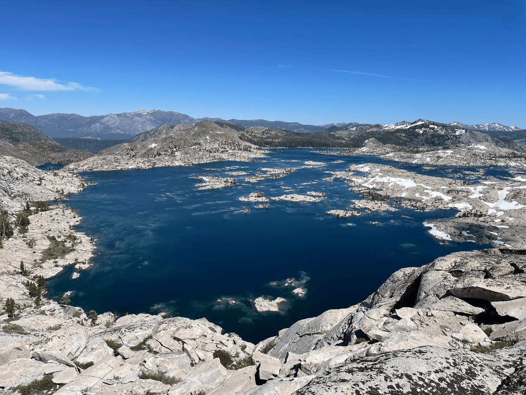
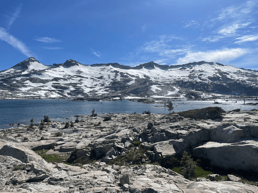
We started off at sunrise and headed across Echo Lake for the first few miles. Three miles in we reached the Desolation Wilderness boundary that I had nearly hiked too a few weeks prior. This time instead of a casual 5 mile morning hike we would loop around a 2 mile long ridgeline that started 5 miles into the backcountry. I felt prepared and soon enough we could see the magnificent Aloha Lake in front of us. Before any serious elevation gain we’d traverse the lower section of this lake towards Pyramid Peak. The lake was formed as a glacial basin and had countless water filled depressions uniformly spaced in longitudinal streaks like focaccia bread. This made for some fun route-finding as we snaked through the smooth granite bumps before the large talus slope of the mountain ahead. Nearing the end of the traverse we stopped for our last water refill before the traverse. The first peak was very straightforward scrambling and we all felt great getting to romp up some easy terrain. I made it up to the peak first and got a view of the massive ridgeline ahead. For the most part it was class 2 and 3 terrain with few interspersed moments of exposure. However some of the group were a tad behind getting up to the first summit so we huddled together for a decision on commitment.
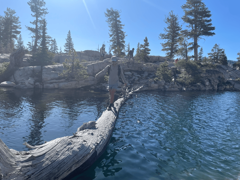
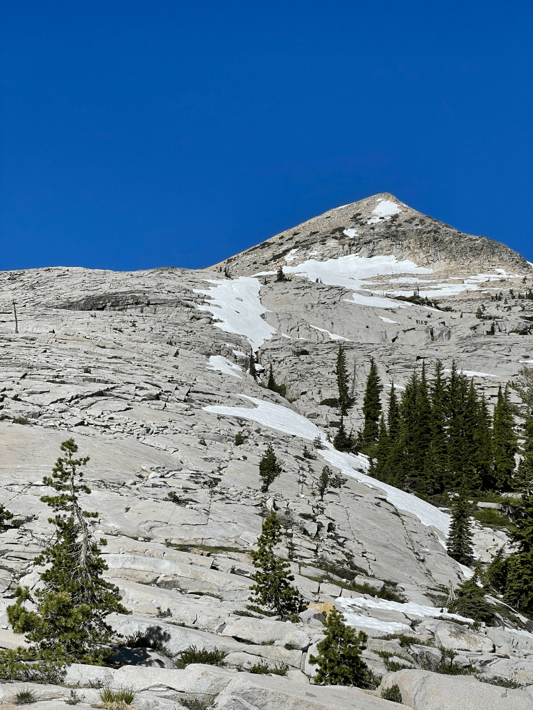
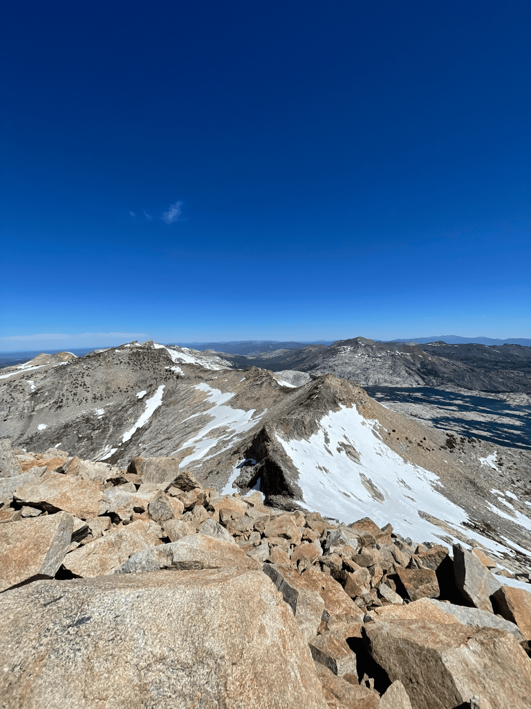
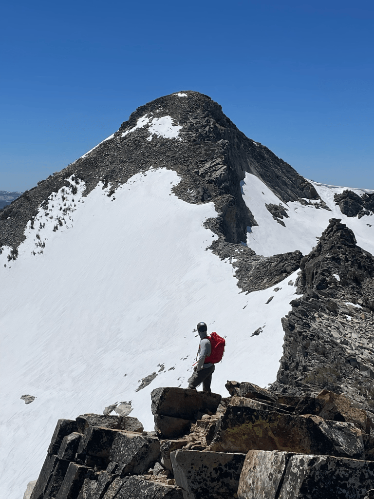
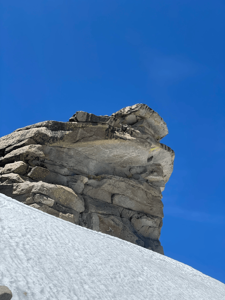
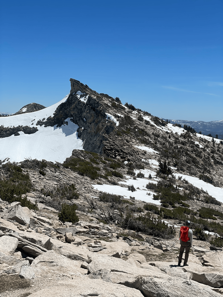
For two members of the group, this would be their first experience on exposed 4th class terrain. We had lots of elevation and more than a dozen miles left, so it was our first real consequential decision to make as a team. Thankfully we opted to keep moving and headed towards the first crux. The next peak had a small 30 ft or so step in the ridgeline with steeper and exposed terrain to warrant the 4th class rating. In reality it was a sort of ‘choose your own adventure’ climb where the path of least resistance was more like 3rd. My buddy Joe and I scoped ahead and guided the rest of the group through this step without any major issue. For the first time in a while I felt like I was overly prepared for this type of adventure and took in the fun by taking a harder route up. Regardless we were rewarded by some more fantastic views and kept on traversing the ridgeline. The rest of the ridge up to Agassiz had some exciting moments but was mostly talus hopping as usual. Route finding was pretty straightforward and we eventually summited the peak to find more amazing views. Agassiz had this crazy wave-like summit block that overhung the snow slopes below it in dramatic fashion. We all took turns peering over the peak to experience the stomach-turning feeling of the exposure.
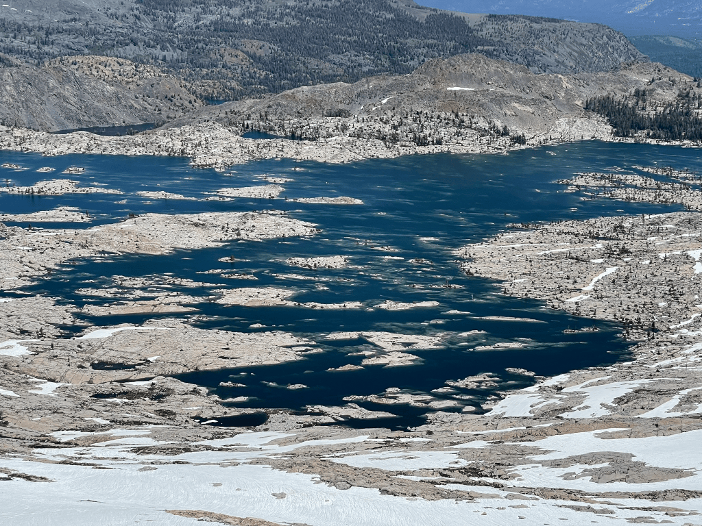
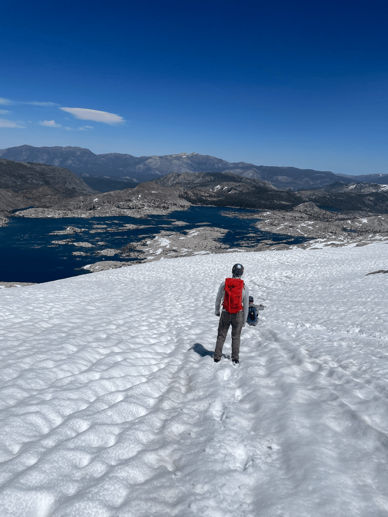
Before long we kept on going and eventually made it to the last peak, Mt. Pierce, in a little over two hours after our summit of Pyramid at the start of the ridgeline. I was feeling pretty tired at this point and knew the rest of the group was on the same boat. After a quick snack break we then took a look at the descent. In a classic fashion this would quickly become the real crux of the day. There were massive snow slopes below us and we didn’t really know if it was possible to glissade without any snow travel gear. The downclimbing was also more sketchy than I expected so when we arrived at the large moat separating us from the snow I was on edge. Thankfully Joe made the leap of faith and I was quickly reassured that it was safe to descend. My spirits then skyrocketed as we plunge stepped and ran down the snow slopes with ease. My initial expectation of a sketchy descent on mostly rock transformed into sticking with the snow for as long as possible. This worked for a little over a 1000 ft before we got back on 3rd class slabs towards Mosquito Pass on the opposite side of the lake. I was still feeling okay but we had nearly 11 miles to go towards the trailhead at the start of the day. For now we could take in the phenomenal views of Lake Aloha and the entire Crystal Range that stood magnificently above it.
Skipping ahead about 3 hours or so and we finally made it back to the trailhead with light to spare. In total we traveled about 21 miles and the last few felt pretty terrible. At least we cruised through the traverse and even learned a thing or two about spring snowfield descents on the way. Our group did pretty well and I was excited to keep it going with more alpine trips later in the summer. Sadly that would be our last night as a group for a while and I was scheduled for my next adventure further south. I met some partners on mountain project and had some ambitious alpine objectives picked out on Temple Crag. I was feeling pretty good from the last few weeks of climbing and knew I could probably lead most 5.6 routes in the Sierra. Despite being the same age, my Partner Michael had a very different skillset coming into our objective for the week. He had been climbing in the Sierras for nearly a decade and had ticked off nearly all the moderate classics of the area. While I was starting to feel confident in moderate terrain, I really did not have a good understanding of my following skills or general comfort in committing terrain. Either way I knew I wanted to see what I could bring to the table and met Michael in Pine Creek for an afternoon of cragging.
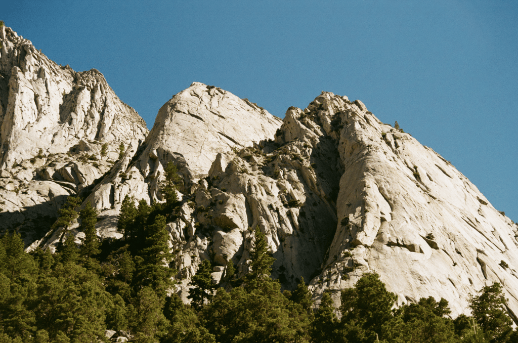
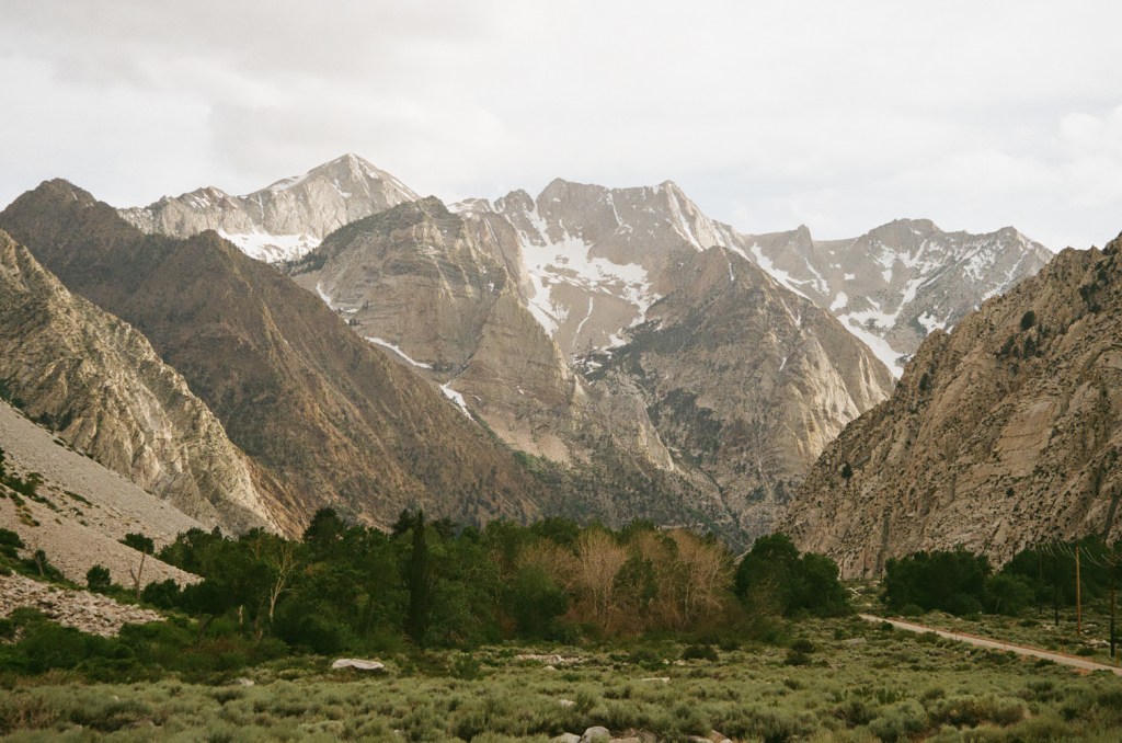
Pine Creek turned out to be a hidden alpine haven slightly north of Bishop. It’s old mining access road shoots high up into the drainage north of Mt. Tom and borders a wall of granite towards Rock Creek. I hung out near Michael and his partner while they climbed a classic 10b at the entrance to Scheelite canyon. Our plan the next day would be to begin the trek out to 3rd lake beneath North Palisades’ drainage in anticipation to climb the Moon Goddess Arete on Temple Crag. I felt pretty nervous as the climb had nearly 2000 ft of technical terrain up to 5.8. I had experience on 5.8 sport routes, but hadn’t followed this grade in the alpine. The plan was to meet Michael the next morning in Big Pine right outside the access road. I spent the morning studying the route and resting in town before we drove out later in the afternoon when temps cooled down. We packed our bags and then had one last discussion of the route. Michael was nervous about the approach, it was still very snowy and some hikers coming back to the trailhead confirm this with photos. I was nervous about performing while committed to technical terrain. With a full day of approaching with overnight bags at stake, we made the tough choice to bail and head back into town for a different objective. This was the second time I’ve bailed from a big alpine route in the same month and it made me feel horrible this go around. In retrospect it was definitely the right call, but in the moment I was both relieved and devastated. Temple Crag is not going anywhere and I am still determined to make it back there on my own terms.
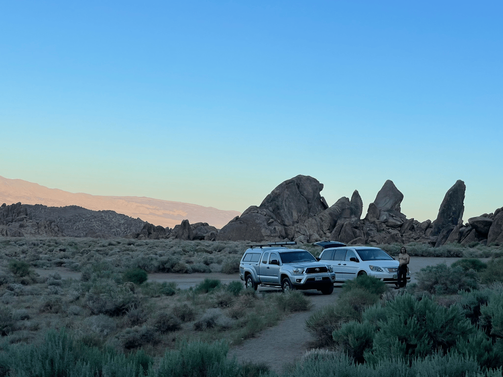
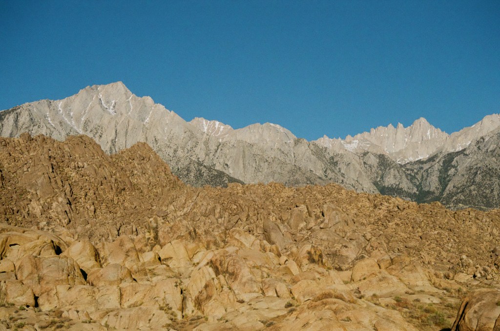
Despite the rough start, Michael and I made up for the retreat with a trip to Lone Pine to crag at Alabama Hills. This Joshua-Tree-like area is an iconic destination in itself and sits below the thrown of Mt. Whitney. Our plan was to climb some 5.9 routes that night and then head over to the Mt. Whitney Portal the next day for some bigger objectives. In contrast to the typical alpine route, this crag was exceptionally easy to access. We parked less than 20 ft from our first route, which started adjacent to the lot and had clear bolted anchors at the end of its first pitch. I knew I’d need to climb a lot more on terrain like this if I wanted to progress to bigger terrain in the alpine one day. The first route started off with a delicate slab before joining a crack system to its anchors. Michael led it clean after some retreating initially at the very beginning. I also struggled on this section before cruising to the finish feeling that I could make it up 5.9 terrain with enough effort. Next up was a two pitch 5.7 on a slab one rock outcropping over. Michael easily led the first pitch and then it was my turn to give it a go. In contrast to the last route, this pitch was bolted and I was really motivated to send it clean. In reality I was still pretty nervous and out of my usual headspace. It took me forever to inch my way up the slab and I couldn’t really trust my feet on lead. By the time we made it up to the 2nd anchors it was getting dark and I felt pretty glad we weren’t headed up to Temple Crag. Rappelling down went even worse and I fumbled clean technique on the second set of anchors halfway down. Despite the poor performance I knew this was probably the best thing for me. I wanted to dial in my experience with climbing at the crag, improving my rappelling skills, and generally increasing my comfort on new terrain.
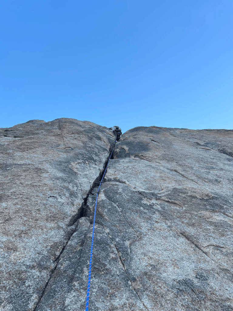
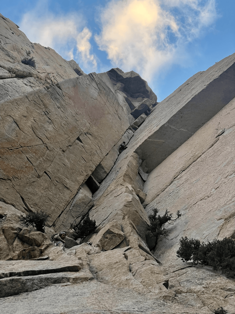
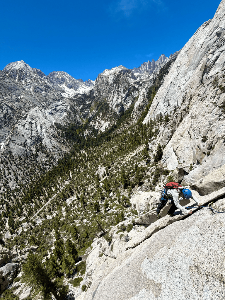
Luckily Michael was a good partner and picked up the slack where I needed it. We met the next morning at the Mt. Whitney portal ready to tackle something more committing. Our approach up to the El Segundo Buttress was long and consisted of loose scree the whole way up. The goal was to climb the Becky Route, a five pitch route up the buttress with several 5.8 pitches and a 5.9 roof crack crux. It would be a challenge for me to follow and a great test of our skills in semi alpine terrain. Michael would lead everything and I would do my best to learn as much as possible. The first pitch went pretty smooth and I was definitely glad to be following. I could see myself potentially leading some of this terrain in the future but clearly lacked some basic skills in harder terrain. I had a tough time managing rope, dealing with insecure slab, and dealing with my ever present foot pain at the belays. The main difference I encountered from climbing previously were the hanging belays. These forced me to have systems much more dialed than previously when belaying on large ledges on easier alpine terrain. This go around we’d have a few bolted anchors with bad footing and no space to hold rope outside of my personal anchor. I may have short roped Michael and made other small mistakes fumbling with gear. But at least now I knew that I needed to improve on and felt great about getting on more routes in the summer.
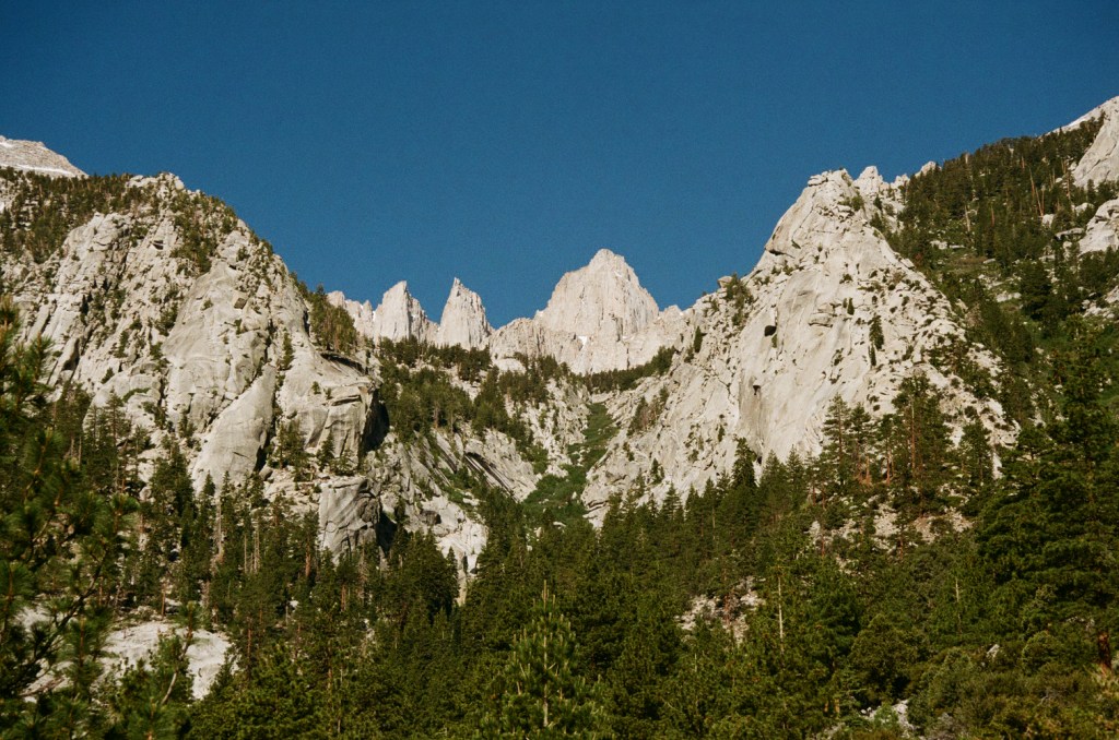
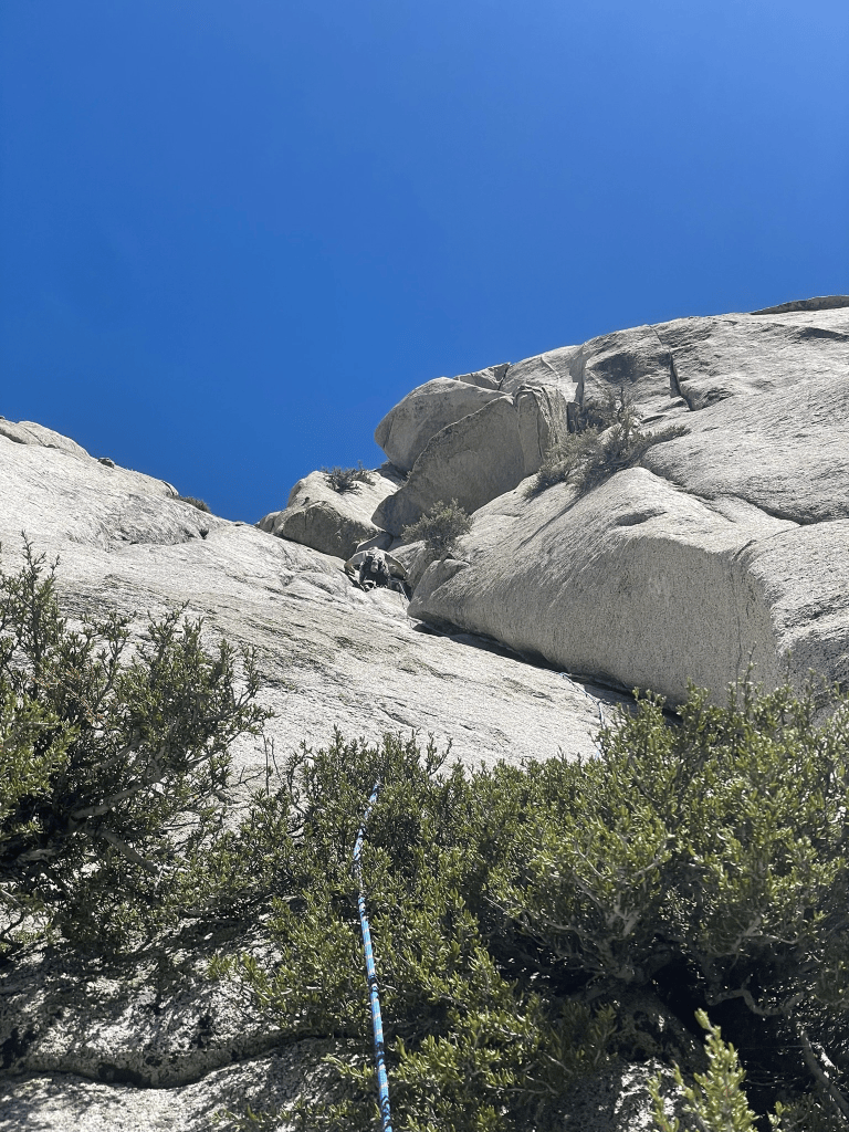
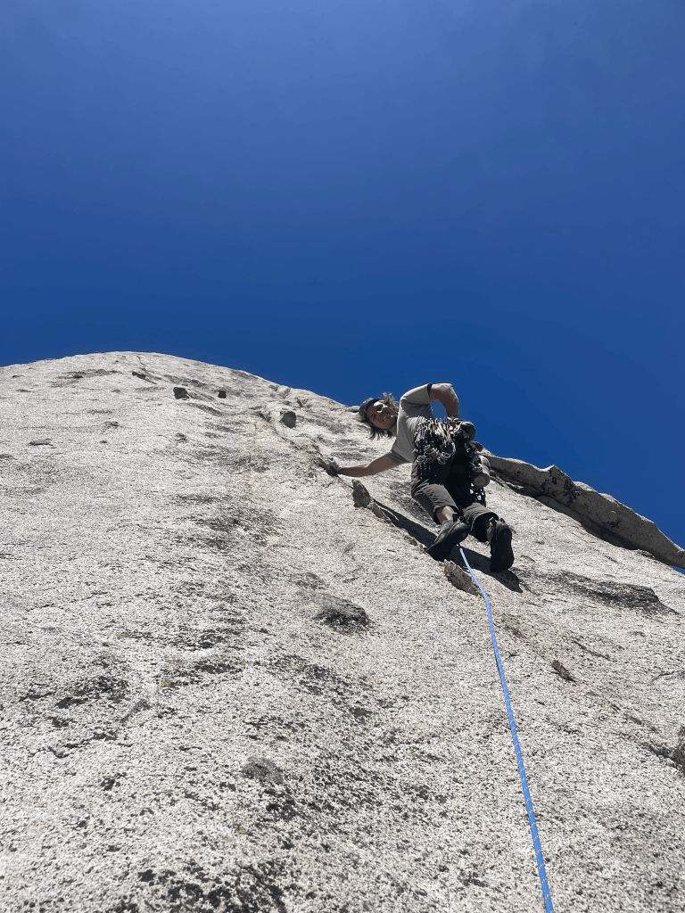
As for the climbing itself, the Becky Route is a classic for a reason. The huge and pristine rock that coats the walls of the Mt. Whitney portal feels like a Yosemite Valley of its own. Each belay brought us higher up the drainage and opened up views to the jagged spires high up in the alpine. The climbing was varied and challenging for the grade in my opinion. Up high the 5.8 slabs were incredibly runout and made for quite a challenging lead. The top of the route felt like a summit of its own and we were both psyched to have made it up in relatively clean style. I took one fall on the 5.8 slabs but otherwise felt pretty comfortable following the terrain. After a deserved pause at the top, we then started the hardest part of the day: getting back to the car. Admittedly we were both unprepared for the descent. I had some photos and an idea of where we needed to go from Mountain Project, but it was harder than I expected to find the right gully to walk down. Adding to the pain, I forgot my approach shoes at the base of the climb and now needed to descend about 2000 ft in La Sportiva Mira’s. The path we took seemed promising initially before cliffing out a handful of times. I was slowed down by my uncomfortable shoes and just wanted to get towards a clean descent path. In haste we certainly missed the correct gully between buttresses and instead made an incredibly loose and torturous path down some larger gully far from the route. Michael opted to get the car while I trudged up to retrieve my approach shoes. The whole time I cursed myself for not bringing the right shoes and certainly got some suffering in through bushes and scree fields before arriving to the base of the route. By the time I made it back to the car I felt pretty exhausted. On the bright side, it was still a much better experience than I had imagined after our bail and I really did learn a ton through our ascent. We departed that day feeling stoked to climb more throughout the year and both knew that I could follow 5.9 finally in the alpine.
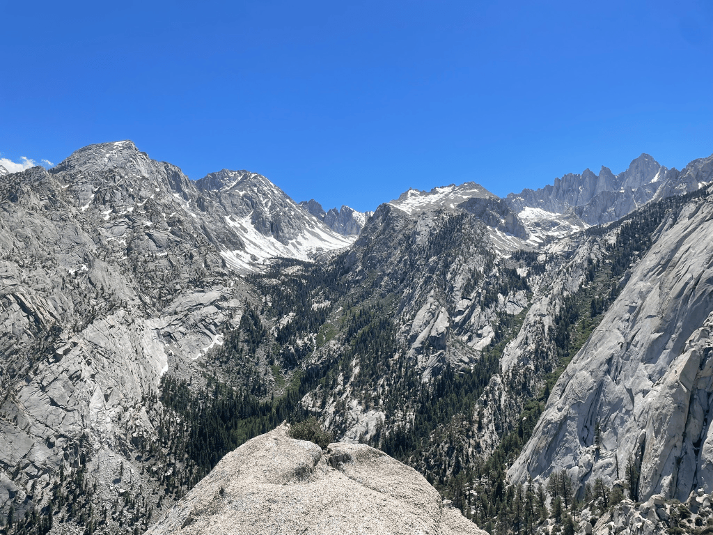
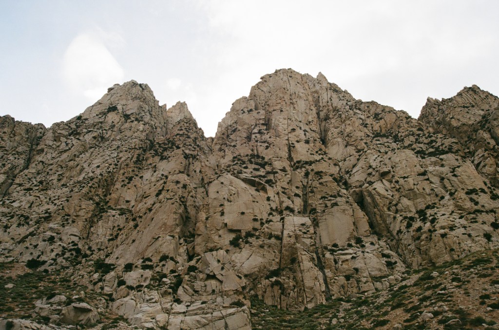
My original plan was to try to stay in the area for the whole week and I was fiending for at least one more outing before making the trek back home. Luckily I had met another Mountain Project forums climber named Eli out in Pine Creek. He happened to still be in the area after cragging with Michael a few days prior. That night I headed over his way to see if we could make the best out of his rest days before headed off to Tuolumne. We met briefly that night and schemed some plans for the day ahead. I mentioned I was new to climbing but had a ton of experience skiing in the area. In fact I thought I have heard of the Scheelite Canyon previously while scoping ski lines in the spring. Turns out I was right and I brought up some photos of the canyon from a few days prior. Scheelite Chute is one of the longest continuous chute descends in the whole of the Eastern Sierra. It begins at the crest of Rock Creek just over 13,000 ft before falling 6,000 ft directly into the huge drainage below where climbers spend their summers sport climbing. I remembered that the line was notoriously difficult to get in good conditions due to its enormous range of elevation. From the photos it was obvious this was the case and we would need to climb for several thousand feet before even reaching snow. Regardless we agreed it would be a ridiculous and fun adventure to take skis up there and see for ourselves if it would go.
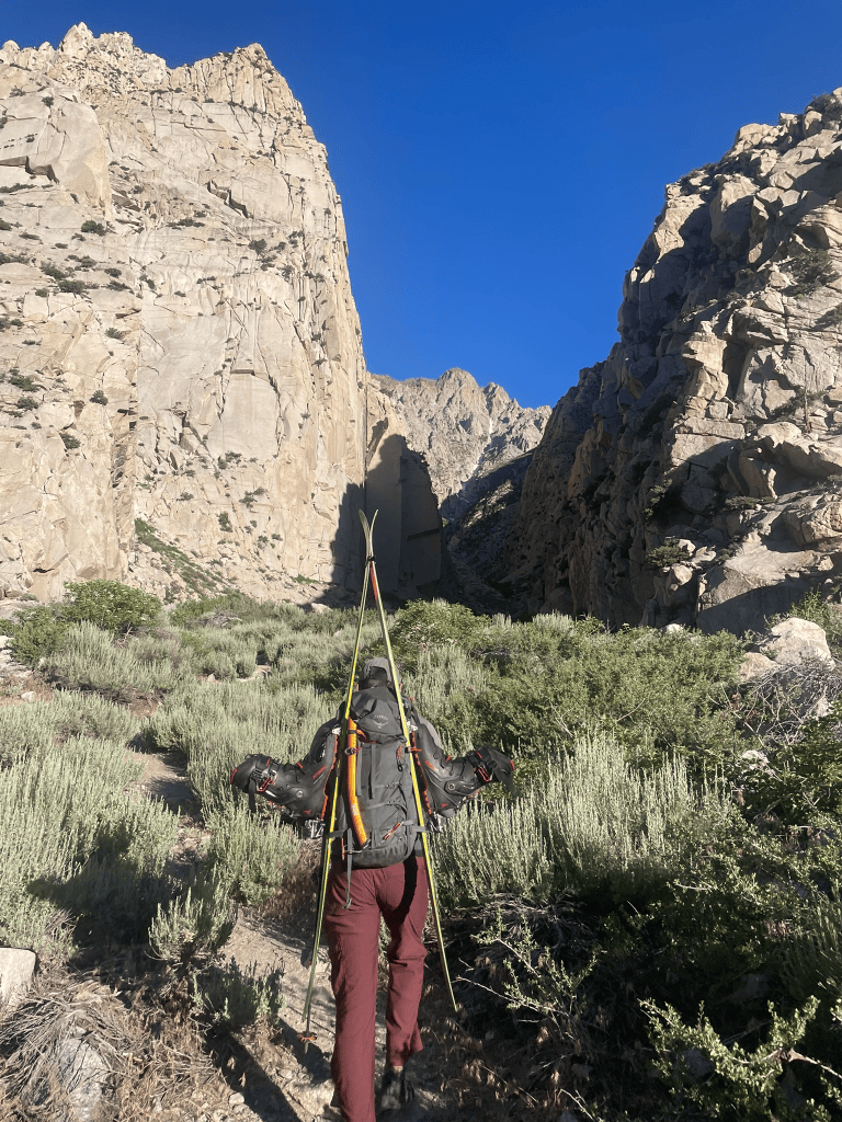
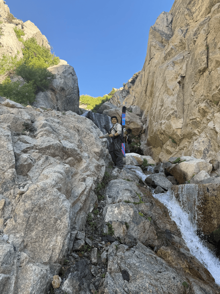
That next morning, in the beginning of June, we got our packs on and hiked up the canyons towards the skinny streak of snow high above the trailhead. After a half mile of trail we continued on talus and rolling hills up the canyon. It felt pretty ridiculous to have skis and boots strapped to my back with no snow in sight. Both of us knew there was a low chance we’d put them on but I really did want to ski. Nearly 2000 ft later we got our answer. In front of us was a waterfall maybe 30 or 40 ft high which broke up the otherwise smooth canyon. I made some feeble attempts to climb up the steep bushes on its flanks without much success. Looking further I knew that higher up in the canyon were two more of these waterfall steps between us and the snow. In usual fashion it was cognitive dissonance that gave me the hope to reach skiable terrain and I remembered saying there was little chance of success at the start. Reluctantly we turned around and plotted our next plans. Luckily for me, Eli was still willing to get in some climbing for the day.
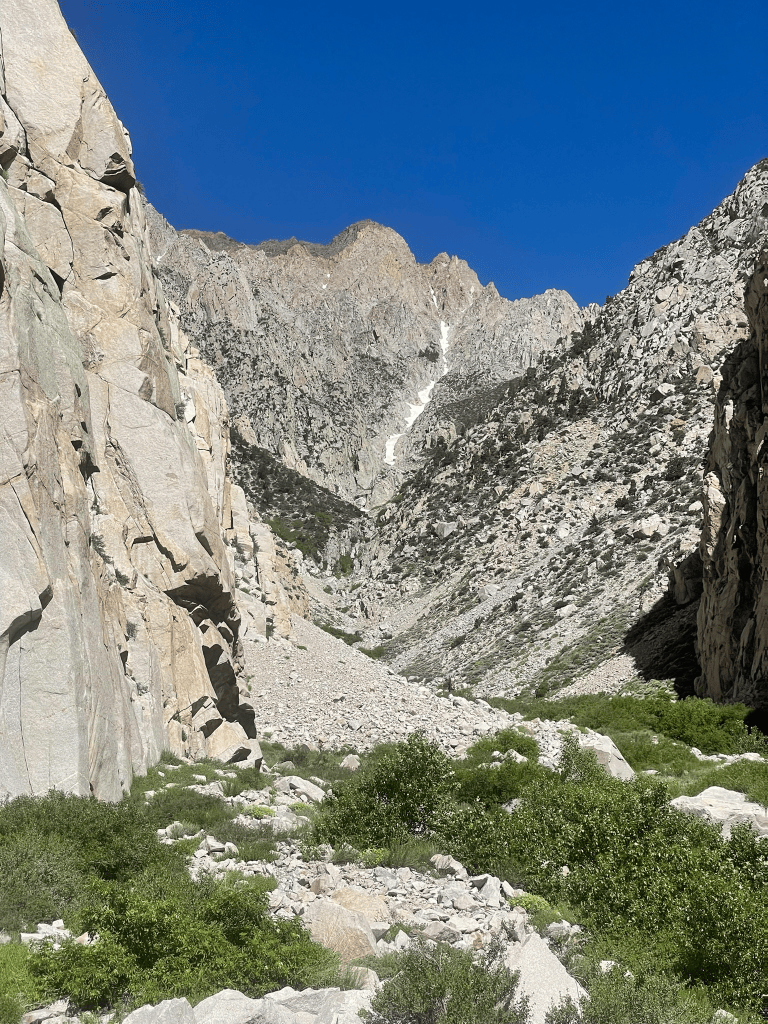
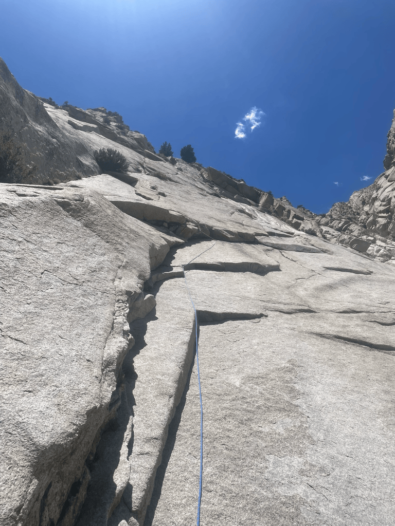
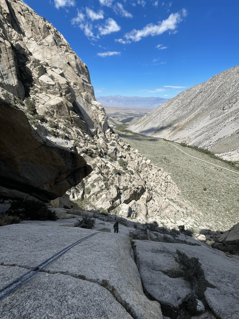
After a brief nap and lunch break back at the cars, we spotted an interesting climb that seemed to work for both of us. Eli was leading several grades above me and planned for a day of rest. I was a newb who wanted to get in as many pitches as possible for experience. Somewhere in the gap between us was a route called ‘The Big Deal’, consisting of five pitches hovering around the 5.8/5.9 grade. This time I wanted to put my new skills to the test and tried my best to stay organized along the set of mostly hanging belays. My shoes still crushed my feet the whole time, but I at least felt way more confident than the day prior. I managed to not short rope Eli that much and sent all of the pitches in clean style. I trusted my feet way more than before and even managed to get some decent finger locks with the steeper 5.9 pitches. We made pretty quick work of the route with Eli on the lead before switching to rappels for the way down. This time I was more prepared and we got into a decent rhythm by pre-threaded the rope into the next anchors keeping our systems clean. The whole ordeal took a little over five hours and I felt like I had maintained some semblance of style for the first time.
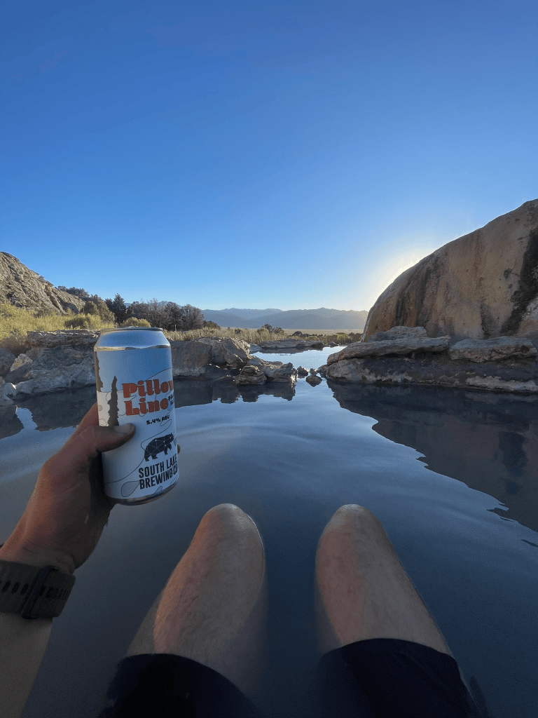
Eli was headed back to Tuolumne but mentioned some hot springs I should hit up on the way back. By this time it was Thursday night and I was ready to head back to SF for the weekend. In some ways I was disappointed in bailing and failing on climbs throughout the week. But then I headed up to Bridgeport to camp near the Travertine hot springs for the night. I got out of my car, slipped into the spring, cracked open a Mammoth IPA, and took in the sunset in solitude. In front of me was the glorious Sawtooth Range and huge cow-filled grass plains before it. I had just climbed nearly every day of the week in quite a few different regions of the Eastern Sierra. I learned a ton in comparison to the countless weekend trips of my past. I was bathing in a spectacular hot spring while the sun was setting after a week well spent. My thoughts turned to what was ahead for the summer and I was more motivated than ever to get back after it the next week.
- “Cragging” – Non-alpine and single day climbing outing ↩︎

