Category: Uncategorized

  • Volcano Season – Baker & Lassen

    Volcano Season – Baker & Lassen

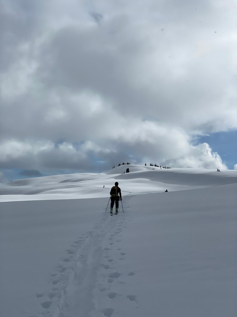
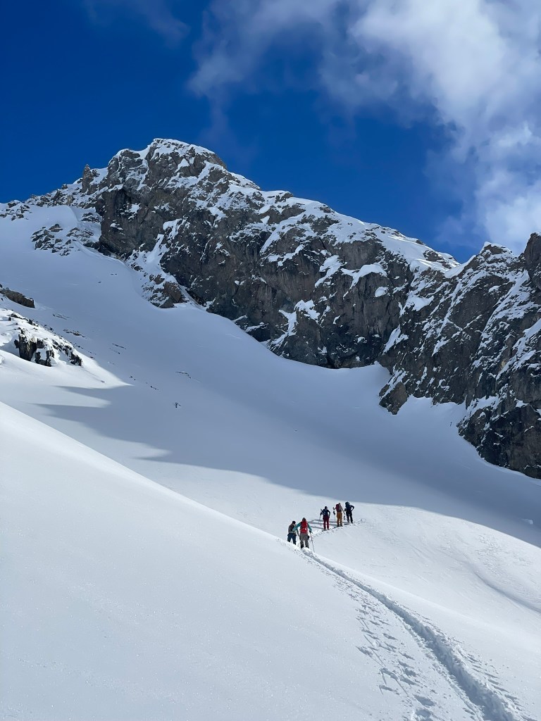
    As winter turned to spring I had one last big ski trip on my mind. Backcountry skiing takes a lifetime to master and if I ever wanted to venture out of the Sierras and into bigger terrain I’d have to keep on learning each year. For this season, my obsession was with camping and climbing on the glaciers of the Pacific Northwest. Massive piles of snow slowly accumulate on these high latitude peaks and eventually form ice sheets hundreds of feet thick. When combined with a huge prominence above the valley floor, many of the peaks within the Cascade Range form glaciers. And for the average climber they generally require some intermediate snow camp on the way up. Unlocking this skill set opens up a huge amount of terrain all across the world. The Canadian Rockies, European Alps, and the Alaskan ranges are just a few examples of this and all come with their own unique challenge. For this trip I had my eyes on Mt. Baker: a 10,000 ft volcano north of Seattle known for its big glaciers and incredibly good skiing. Luckily enough, two of my good skiing friends Meredith and Ryan were also residents of Bellingham nearby and graciously offered their place as a retreat for the weekend. All that was left was to put together the final crew, find a guide, and prepare for an epic adventure on Mt. Baker.

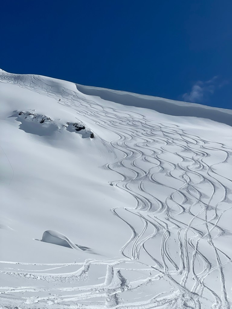
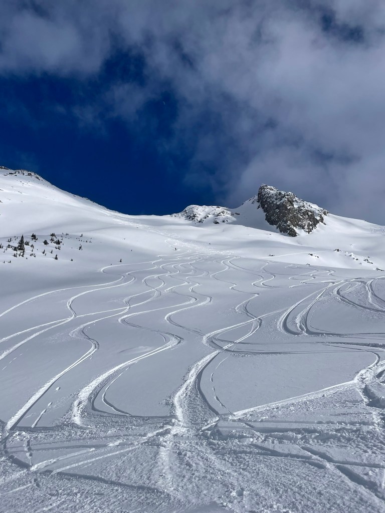
    The Thunder Glacier resting between Colfax and Thunder peaks

    Turns out this trip would be a big logistical challenge to organize. Glaciated ski mountaineering is a super niche activity. Most of my friends could either handle backcountry skiing or climbing with ropes and natural protection. Meredith and her friend Sof fit the first bill, they were local to the area and great skiers both in and out of bounds. But they were less familiar with building anchors, tying knots, and operating in big alpine terrain. On the other hand my two LA friends both had a good amount of alpine trad experience, but had not been backcountry skiing much at all. So to plan the trip I had to bridge this gap and take on some responsibility that the trip would still go smoothly. First off I wound up hiring a guide. This is something I generally try not to do both for the cost and the adventure of finding my own way. But in this scenario we had a full group willing to split the cost and we’d be getting our money’s worth. With our own guide we could tailor the experience to what we were looking for: maximizing our experience on Mt. Baker, learning how to traverse glaciers, how to preform crevasse rescues, and how to camp in harsh environments on snow. Normally pre-set courses will do this over 3-4 days and cover most of the technical skills in town with accessible snow banks in leu of real crevasses. Instead if we came in prepared, we could skip this intro and try to summit for real while also getting trained on the glacier proper. Eventually we agreed on spending 3 days on the mountain. The first day we’d climb up the North side of the mountain adjacent to the Coleman Glacier to set up camp. Depending on the weather, the next two days would be spent learning crevasse rescues, attempting a summit push, and descending back to the trailhead. All that was left to do was prepare and make sure the whole group was ready to take on a huge amount of learning and climbing in a relatively short amount of time.
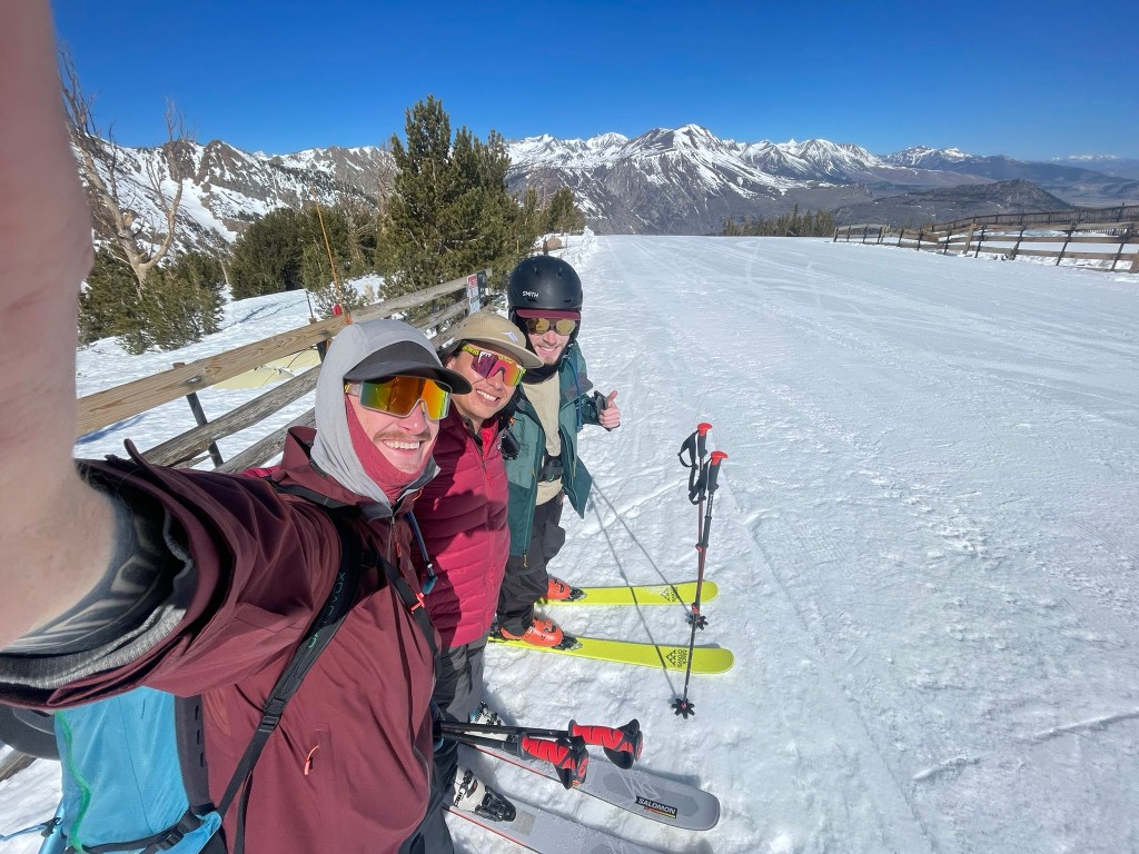
    Tanner, myself, and Trevor on our practice touring mission to June Lake

    In the months prior, I worked on getting both groups ready for the challenge. Trevor and Tanner were my LA friends with less experience ski touring, and I promised them at least one tour together to flush out their legs. In April we pulled the trigger and drove out to Mammoth Lakes for a weekend of skiing. We wound up spending that Saturday touring in the June Lake side country, one of the more scenic areas of the Eastern Sierra (See https://maxhalk.com/2025/04/26/25-spring-touring/ for more). Although we had some challenges on the way up and down, we all felt pretty good about the trip and agreed we were ready for the real thing. Meredith and Sof had the opposite problem and we made up for their lack of experience in rope skills with some good old fashion zoom calls. We had a list of pre-requisite knots and I bribed the whole group to learn them with confidence with the promise of some candy bars I’d haul up to the summit. Before I knew it, April turned to May and we were only a few days out from the trip. At this point I had put in way more work planning than I had expected, but knew it’d pay off with a hopefully smooth travel up the glacier.
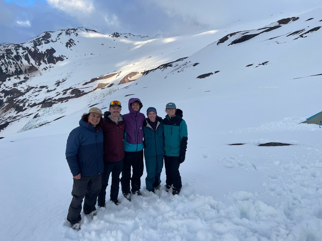
    From left to right: myself, Tanner, Trevor, Meredith, and Sof having made it to camp

    Trevor, Tanner, and I flew out to Seattle on the next Friday afternoon and made the two hour drive to Bellingham to meet Meredith and Sof. There we had a great dinner thanks to Ryan and threw our gear into a big pile in their downstairs basement. Packing took forever and we made a stop in typical fashion to the nearest mountaineering store for good measure. The next morning we’d wake up early again to meet our guide John at the local climbing shop. Thankfully we had time to pull out all of our gear and repack, which helped me feel better about remembering all of our gear and that I had the lightest pack possible. With overnight gear, ropes, and skis we would all be carrying around 60 pounds to and from camp on the glacier. Putting the whole bag together looked a big ridiculous and putting it on back was taxing and bad for my balance. But this was not surprising for our objective and we hastily left for the trailhead. That day the weather was quite gloomy, the valley was clear but the alpine terrain was masked in a thick shield of clouds. This is typical for the area, which is a sort of temperate rainforest in the tree line and below. We knew that climbing towards the tree line would most likely bring rain and snow.
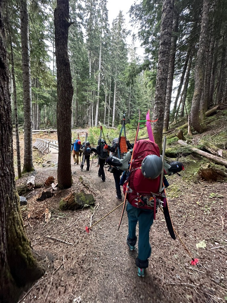
    Setting off for the Heliotrope trailhead

    It wasn’t long after we arrived that we set off for the Heliotrope trailhead, which would deliver us into the alpine. The trail itself was well maintained and beautiful. The trees were covered with thick and vibrant green moss while the rivers rushed with peak snow melt. After a few miles we saw the first bits of snow, which looked like mini glaciers of their own tucked into the bottom of gullies and riverbeds. We cross some of these rivers and snow patches still in our hiking boots before eventually making it to the first region of continuous snow. It was also raining at this point and I could feel my shoes and outer layers progressively getting soaked in. In total we were only climbing maybe 2500 ft that day and the majority of this was not on skis. Finally transitioning to skinning and taking them off our backs was a big relief. My pack was still heavy, but zig-zagging up the next gully on skis felt way more efficient and got me excited for what was ahead. A few more kick turns up the gully later and we could see some other climbers making their descent down the ridge above. Once we got there ourselves the whole environment dramatically changed. What was a sheltered and snowy forest was now an immense and rugged alpine environment. To our left was the Coleman Glacier, which was littered with crevasses and ended in an imposing icefall that shattered into the drainage below. Above us was the summit of Mt. Baker, shrouded in a thick set of clouds that rained and snowed down on us still. Every once in a while we’d get a new portal through the clouds and see some other vast expanse of rock and ice. Before I knew it were had gained the ridge and were ready to set up our camp for the weekend.

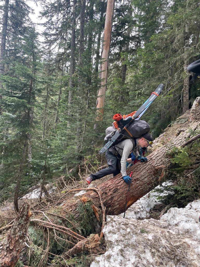
    A river crossing on the trail
    Practicing some awkward and exposed climbing

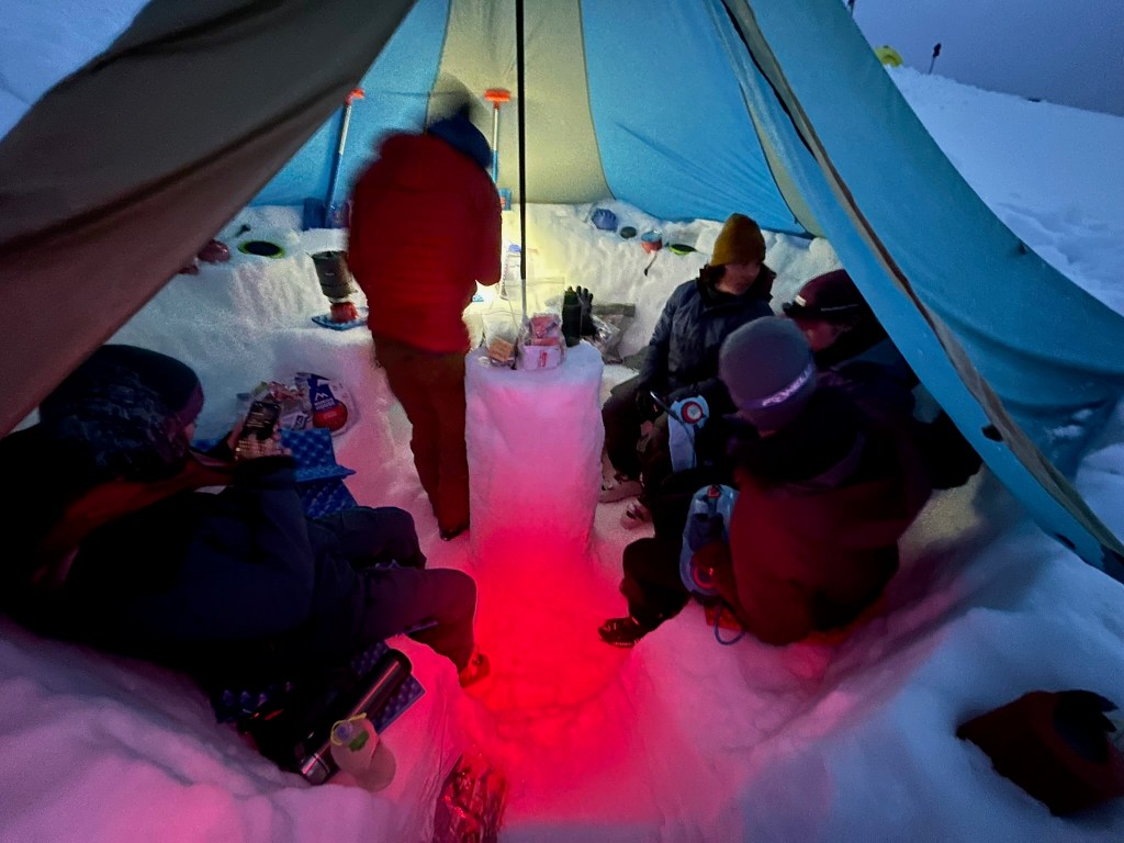
    Snow camping is difficult. It requires setting up a space that you can comfortably eat and sleep regardless of the surrounding conditions. It was also collectively our first time taking this on. Our guide John quickly put us to work digging out some flat platforms for our tents to start. We carefully mapped out an area a little bigger than our tent, dug snow out from one higher end, and plopped it onto the adjacent lower end for proper flattening Next we pulled out the tents and carefully staked in 10 guidewires by digging some deadman anchors (basically a trench for the stakes that was then filled in with snow to prevent them from moving. The rainfly for the tent also extended a few feet from its entrance, so for extra comfort we also dug that section out as a ‘garage’ perfect for booting up in the morning. These were all great skills to learn, but took forever to get right and felt like endless digging in the snow. The last thing on the list for that evening was to set up the kitchen for the weekend. This was a separate communal space meant to shelter the six of us in one location, cook meals, and eat in comfort. John pulled out the ‘mid’ for this, which was a pyramid shaped tent with one central pole to keep the thing up. This was the most fun part of camp building, as we constructed an elaborate kitchen consisting of an entrance staircase, a circular bench for seating, a countertop for cooking, and a central pillar for the sole tent pole. It took another hour or two to construct, but when we were finished we could relax and cook dinner in luxury. Evening had come at this point and we were all famished from the long hike up and crazy amount of digging for camp. But our reward was awesome: dinner with friends and a view of the ridge circling the Coleman Glacier. It was a pretty surreal camping site and probably my favorite to date. That night we chatted about what might happen the following day. The original plan was to spend it learning the ropes and jumping in crevasses, but the weather was not exactly cooperating. It is inherently difficult to judge what would come, but Meredith could check every once in a while on her Garmin inReach and saw we might have our best chance for a summit push the next morning. I was pretty excited at that point and made my way to bed for an early rise.
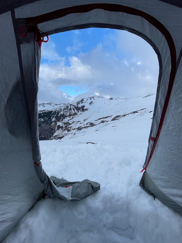
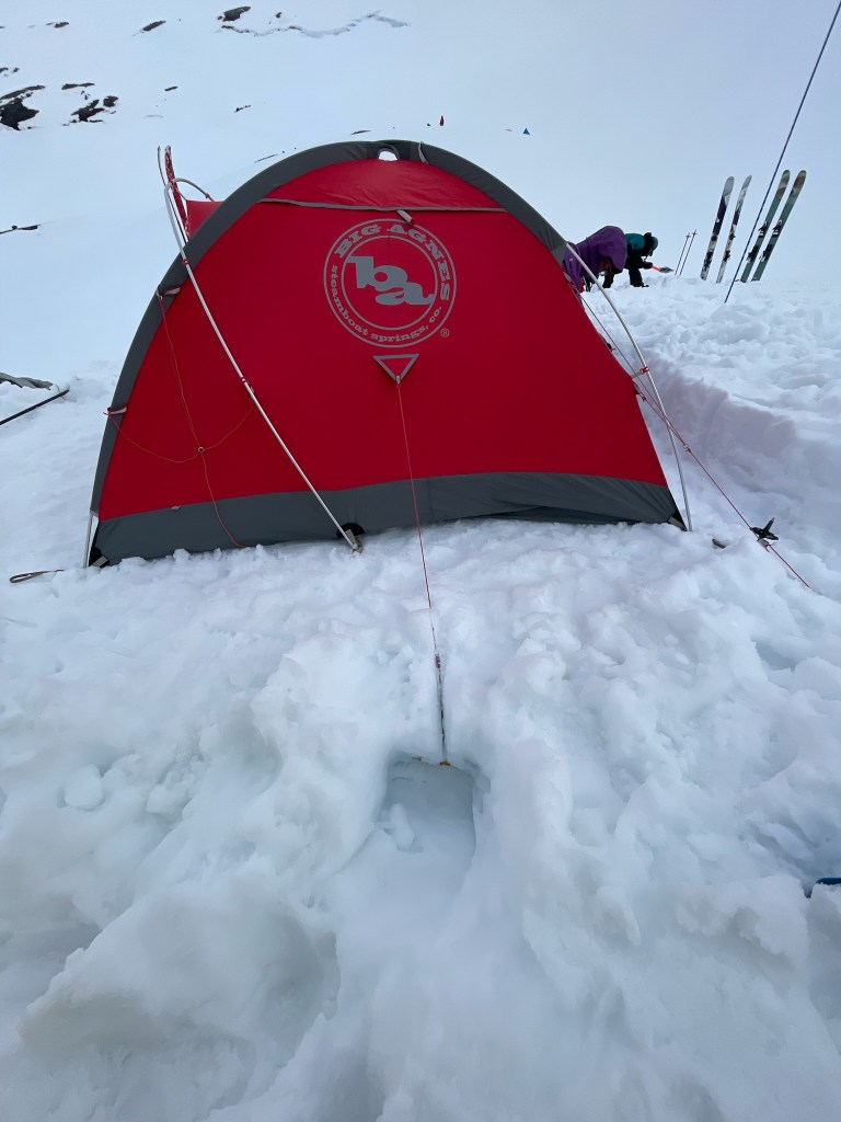
    A pretty sweet view from camp, featuring the ‘garage’ pit below
    Tent stake deadman anchor pre-burial
    Cozied up in the kitchen while John operates the stoves

    Soon enough I was up in the morning and begrudgingly put on some mildly wet ski boots. Luckily we had hot drinks and breakfast ready in the kitchen, which served as our mission planning headquarters for the day. We knew the weather and summit headwall conditions were both mixed, but figured it was still worth a shot. Getting to the summit would be about 5000 ft of gain, but thankfully with lighter packs. First we slowly made our way back to the ridge and set foot on the Coleman Glacier for real at its crest. On the way we learned how to identify convex and concave regions of terrain that either pose more or less risk for crevasses to form, respectively. Crevasses could be covered completely with snow and be seemingly impossible to spot. Luckily our route was mostly clear of these hidden hazards, but the risk meant potentially falling many feet into the abyss. This was part of the reason we hired a guide who knew the route well. We avoided terrain to our left, which had massive cleavers of ice that rose and sunk dramatically at the surface of the glacier. At this point we also put our harnesses on and could see the next obvious milestone: the saddle between Mt. Baker’s summit and the adjacent Colfax Peak. Looming above was the Colfax icefall, which was a Serac hundreds of feet thick that hung a thousand feet above us. We traversed quickly through this section as seracs periodically and randomly can cleave off into a massive icefall event. Luckily these are super rare, but still posed an ominous threat as we passed underneath.
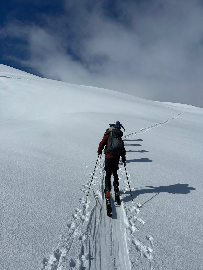
    Start of the climb
    John skiing underneath the Colfax icefall

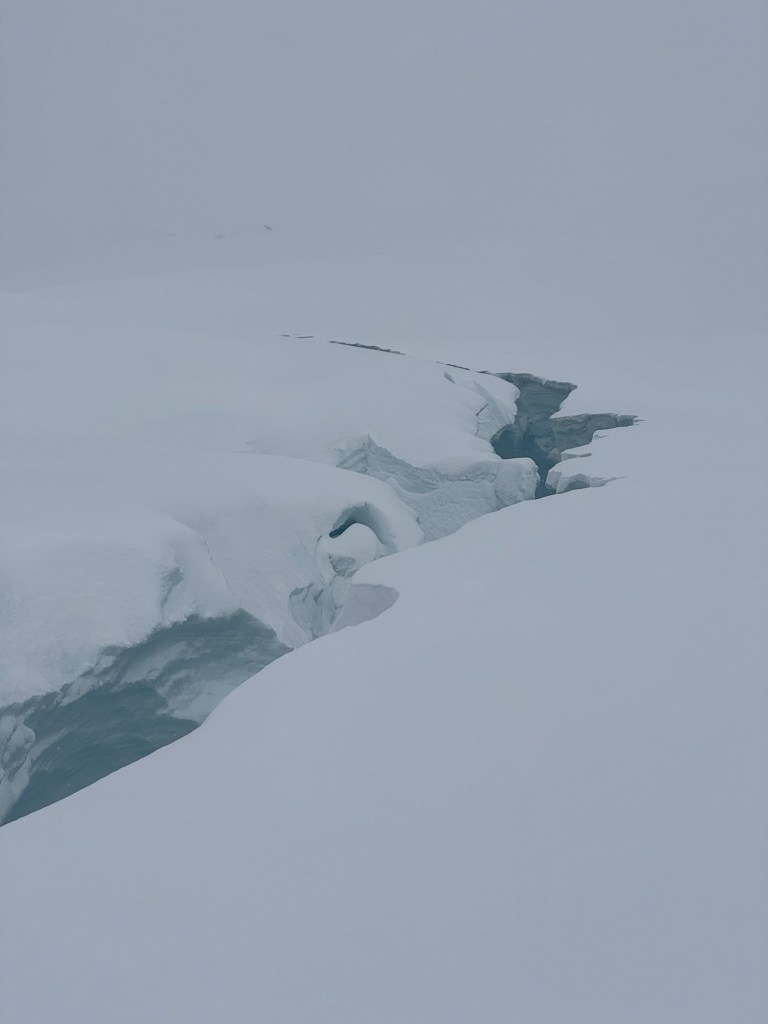
    Thankfully we cleared this section without much of an issue. The group was a bit tired and the weather was still not perfect, but the six of us made it to the col and took a much needed rest. Unfortunately this was still not our day. The summit ridge was a hardpack of variable conditions, mainly ice. Climbing us this section would require the group to be ‘short roped’ and we’d likely have to downclimb the headwall instead of skiing. Combined with the fact that this additional 1500 ft or so of elevation would put us well into the evening, we reluctantly made the call to head back down. Regardless of this decision, this meant we could ski down and spend some time learning our intended crevasse rescue for the day. We skied back down until we reached the edge of an obvious and massive crevasse to begin. Normally when traversing this type of terrain, all members of the group are tied together with a single rope. In the case that one person falls into a crevasse, the others quickly arrest the fall with an ice axe and then preform a fairly involved rescue – the goal for the day. John gave a great intro and we all demonstrated our knot skills before starting off (I delivered candy bars at this point as promised). Next we practiced building an anchor out of a pair of skis buried in the snow. This deadman anchor was the same style of support as our tent stakes from before and served as a central secure point to haul someone out of a crevasse safely. Next up came some complex rope management which allows one of us to safely check on the victim, prepare a safe edge of the crevasse wall for rope to pass through, and finally set up a rigging system of pulleys that create enough leverage to pull someone vertically up and out of the crevasse. I’ll spare the details, but it was much more complicated than I had imagined. Preforming a practice rescue in a relatively safe situation is one thing, but doing this without a guide and in consequential terrain with lives at stake still seems incredibly daunting to me. For any future days out on a glacier I’d have to put in much more practice.

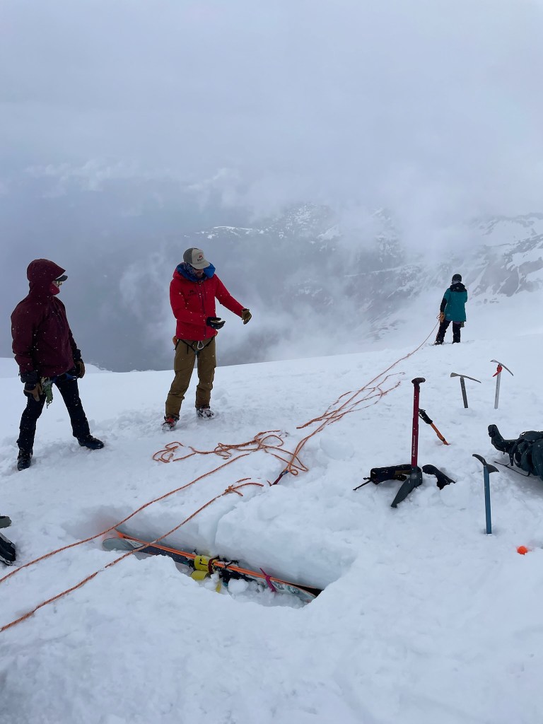
    Tanner pre-crevasse jump
    John explaining the rescue rigging system
    The crevasse we practiced with

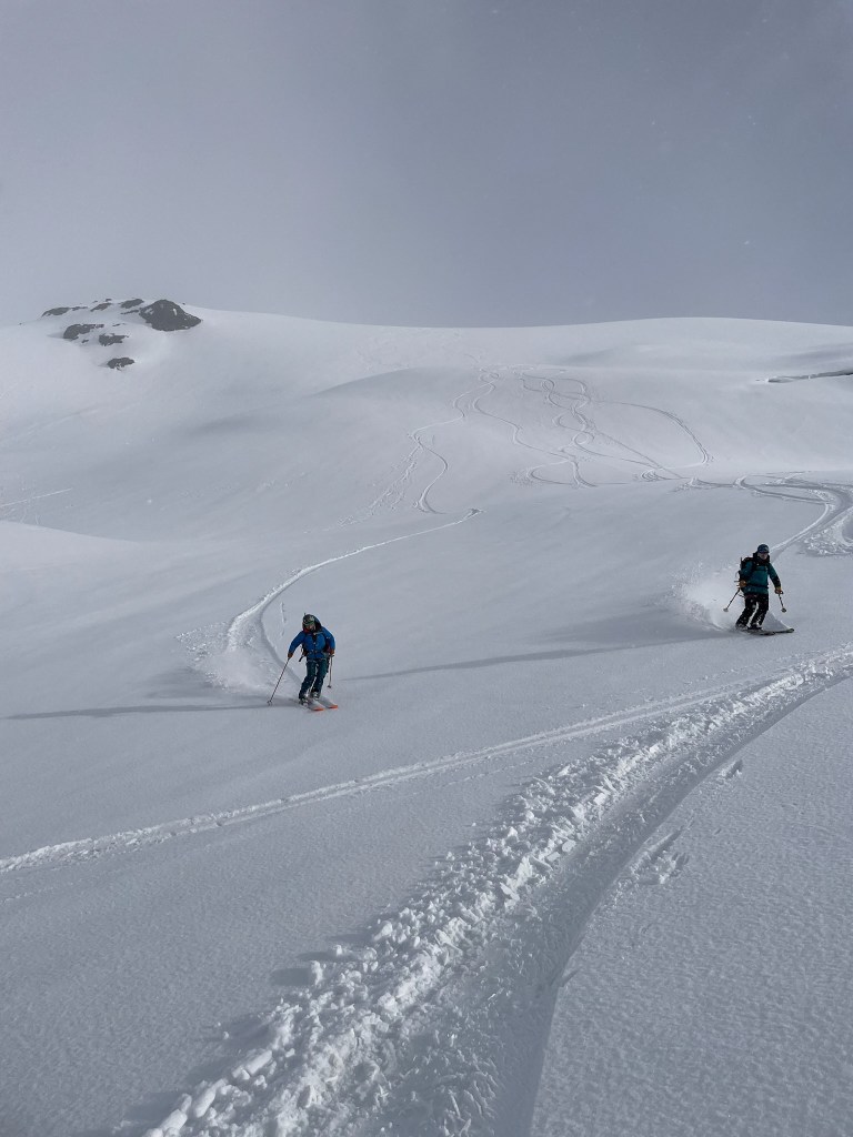
    On this day we had the luxury of doing a mock rescue, where one volunteer would step off and into the crevasse. Tanner was the guinea pig, while myself and Trevor stood ready to catch him with our axes. John gave the signal and he awkwardly sunk into the abyss while Trevor and I leapt to the ground and dug in. Catching a fall was not as bad as I expected, but the aftermath seemed impossibly difficult. The rest of the group in theory would have to construct a new deadman anchor with skis, then hook up the rope before I could get out from my position clenching the ice axe. Rigging this up and hauling Tanner out was still pretty fun, but I still could not imagine how difficult a real experience would be. At this point it was getting late in the day and we started making our way back down the glacier. Weather was surprising clearing just a little bit and this made for a pretty surreal descent. It was snowing periodically throughout the day and allowed for big arching turns down good snow. In the foreground was a spectacular view of the alpine environment and skiing down felt like we were on a different planet. Anywhere you looked were vast stretches of white with a cloud layer below. As we made it towards camp, the last thousand feet or so was prime powder and we all got a spectacular party lap right to our tents. This was the best consolation prize we could have gotten and immediately we all were thinking of a second lap. It was a little past 7 at that point, so we quickly put our skins back on and headed up the ridge once more. This was probably my favorite part of the whole trip as we got glorious views of the Thunder Glacier to our right and Mt. Baker’s summit to our left. Clouds peaked in and out until we eventually snagged some momentarily crystal clear views of the area. As we basked in the view, we quickly transitioned one last time and got ready for a second powder lap. It was about 8pm in the middle of May and here we were skiing some pristine snow with great friends right back to camp. Even though we didn’t summit, this was such a great gift for an otherwise uncertain weekend.
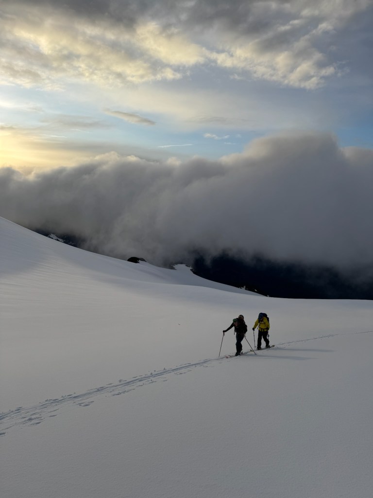
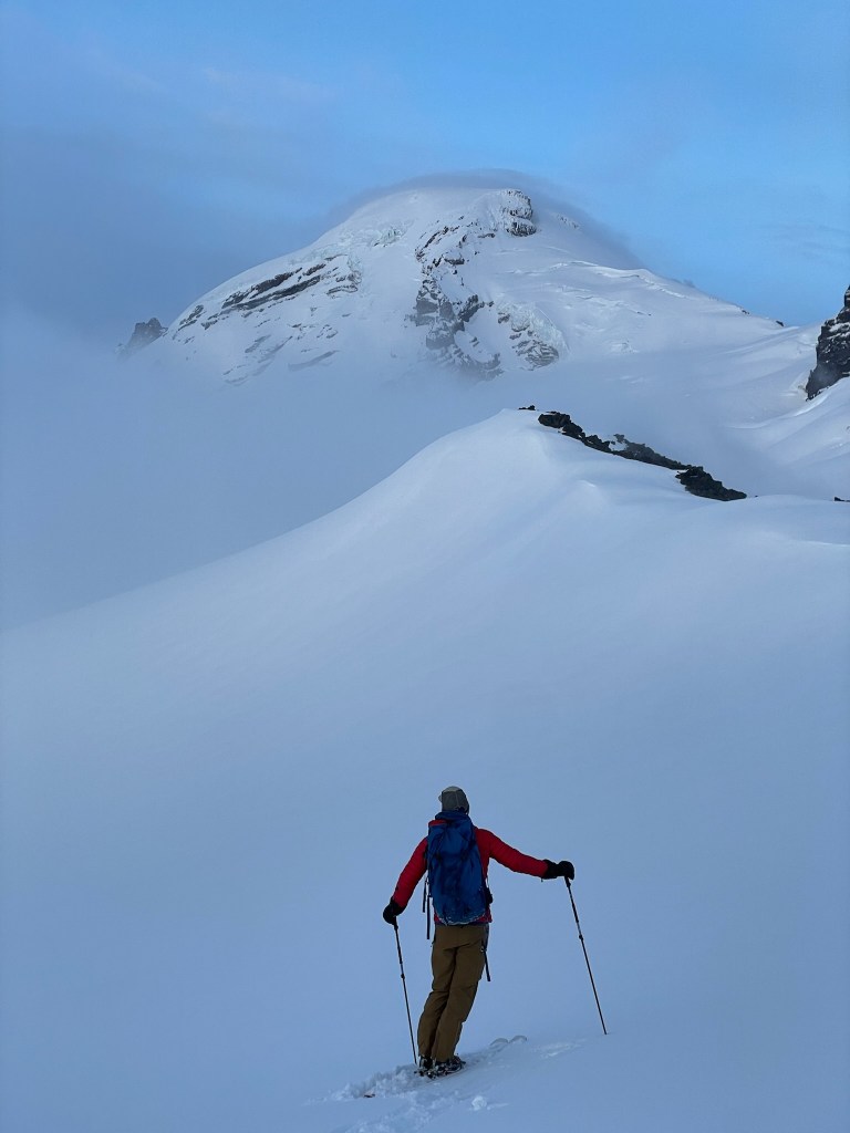
    Meredith and Sof skinning up above the clouds
    A glorious view of Mt. Baker with John in the foreground
    Powder, at 8pm, in mid May

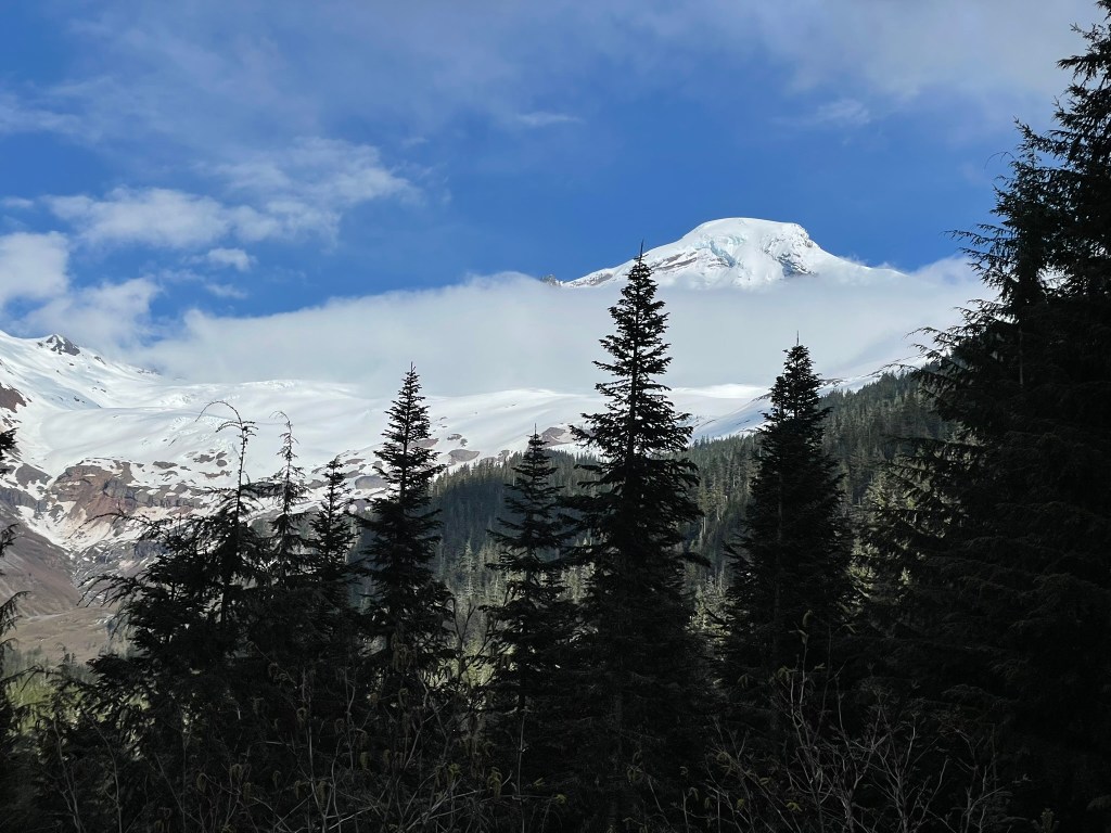
    That night we chatted about the highs and lows of the day while munching on our dinner at the kitchen. We didn’t think the summit was a great option for the next day either, so instead we opted for another round of rescue practice and an afternoon exit to the trailhead. The next day we did exactly that and this time Meredith opted to experience the leap into the crevasse. It was pretty rare to get to practice on a real glacier in this fashion, so we all appreciated the second chance to hone in our skills. This time we made quick work of the rescue as we only had until about 2pm to make it back to camp. This time we also got some good turns in on the way down before starting to pack up for the day. We filled in the big kitchen holes and then awkwardly packed our loads into backpacks for the way down. Surprisingly this turned out to be one of the sketchier experiences of the weekend. Skiing down with a 50+ pound bag made for unsteady and difficult turns down the gully. I was extra careful not to hurt my knees, but knew the others in my group who were less experienced would have a tough time. Thankfully we made it down without any issues (later Sof did wind up tweaking a knee) and started back down the trail. My shoes at this point were still pretty soaked, but it was only a few miles all downhill. Before we knew it, we were all back at the trailhead in one piece. Mt. Baker stool tall above the clouds at this point and we could finally see it peaking above the trees. After distributing our gear back to John, we then made our way to a local brewery in Bellingham for some earned drinks and food. We shared stories with Ryan and Sof’s partner, who were waiting there for us to return. All of us were stoked from the experience and glad to be back to civilization. Trevor, Tanner, and myself would fly out the next morning so afterwards we headed back to their house for an early sleep.
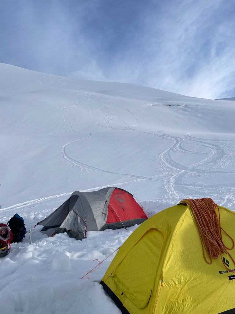
    Last turns in front of camp before heading out
    Our group at the highpoint of the weekend, the Colfax-Baker Col

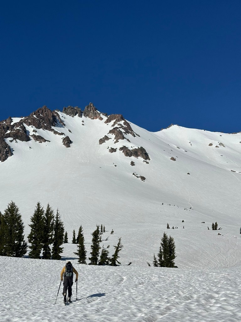
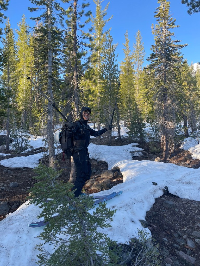
    The whole experience learning about glaciers, snow camping, and rescue on Baker was all I could have asked for. We got more than we bargained from the skiing even if the summit would have to wait for another year. We also all clicked as a group and made some great memories for years to come. Sometime in the future we could take these efforts to bigger mountains and expand the envelope for adventures on skis. For this year, I was mostly done with volcano skiing. Except for the fact that about a month later I had the opportunity for a blitz trek to Lassen peak near the Bay Area. Long story short: my friend Hao and I drove out on a Friday night, slept at the trailhead, and did a lap and a half on California’s southernmost volcano all before 1 pm the next day. It was a great adventure to cap off the ski season and tick another volcano off before the next year.
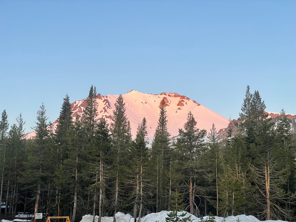
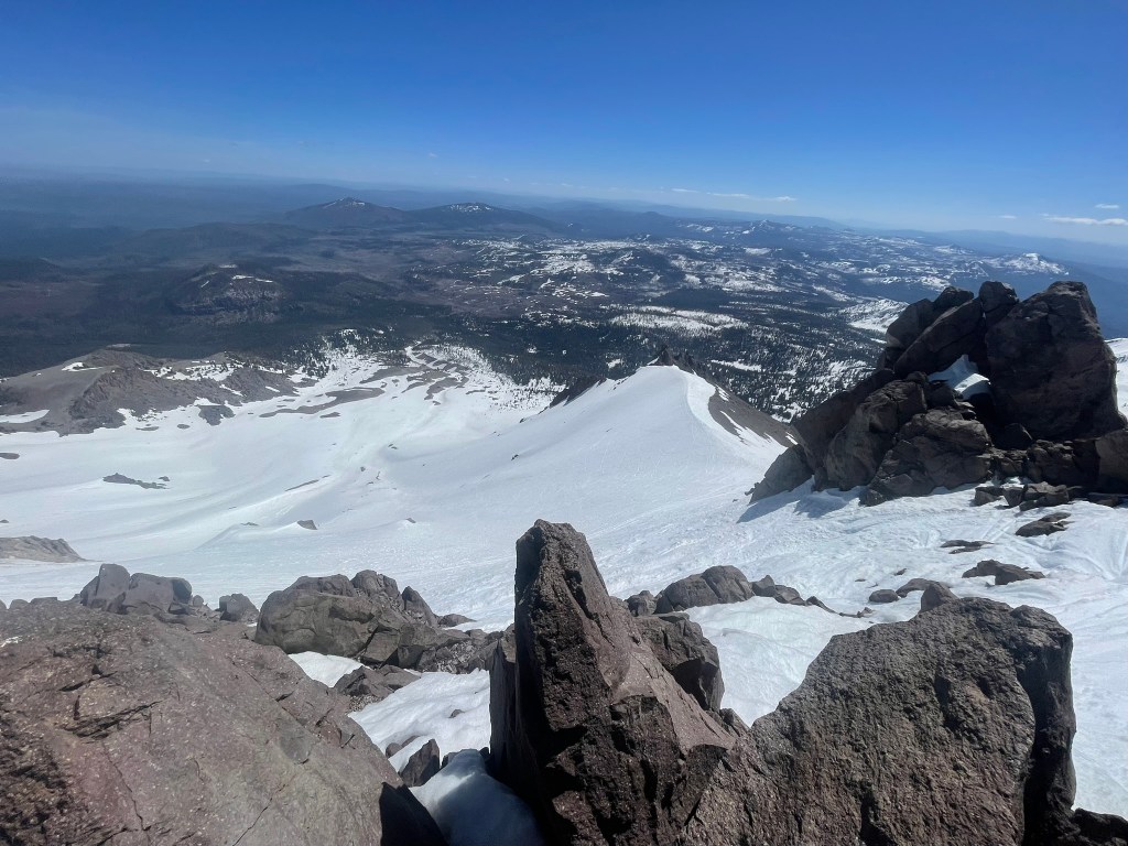
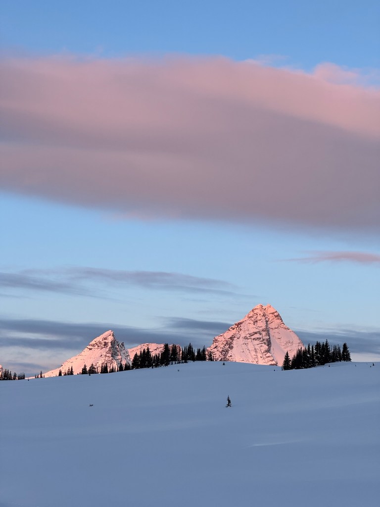
    Lassen peak basking in alpenglow
    Hao mid bushwhack
    Skinning towards Lassen
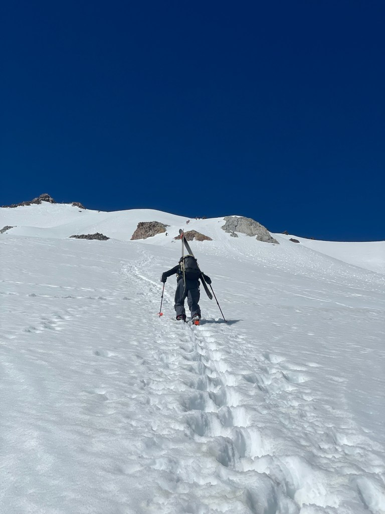
    Endless bootpack up Lassen
    3000 ft of corn skiing from the peak of Lassen
  • ’25 Spring Touring

    ’25 Spring Touring

    Spring is one of my favorite times of the year to ski – the weather is nicer, the days are longer, and the avalanche danger generally reduces. It’s the perfect time of the year to explore new terrain and plan bigger days out in the mountains. This particular season I was also on track to beat my overall record for total number of days skiing and was quickly approaching 50 total days. This was only possible because I had made a much bigger effort to prioritize days in the mountains than ever before. I moved to San Francisco, got a job with unlimited PTO, and joined a ski lease in Lake Tahoe with a dozen other friends from the bay. There we skied nearly every weekend in the season, and frequently made trips out to visit friends out of state when the opportunity rose. I had also just gotten back from a two week trip to Canada to ski in the Canadian Rockies and to go on my first backcountry hut trip to the Purcell Mountain Lodge. Now it was time to get out for the spring and finish out the season strong. I had bookmarked a bunch of weekends in a row for big days in new terrain and the first one on our list was my first tour in the Eastern Sierra.

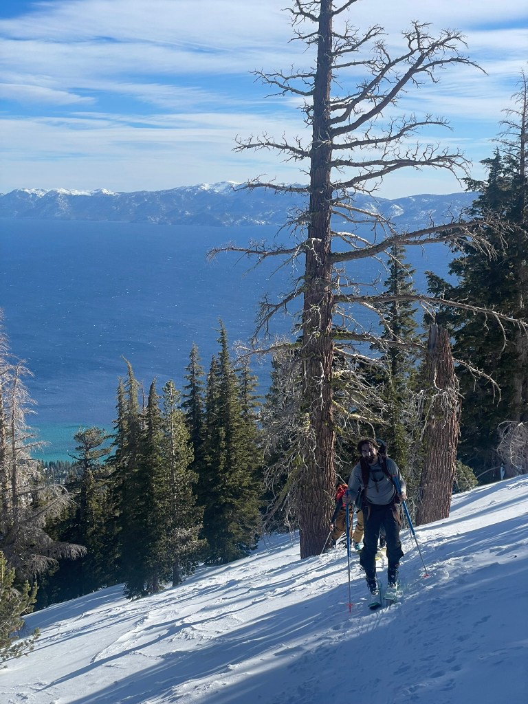
    Winter season tour at Rubikon peak with a glorious view of Lake Tahoe in the background

    Quite a bit south of Lake Tahoe lies the ‘East Side’ range, it marks the crest of the Sierra and generally lies between Bridgeport and Lone Pine. In this region are the vast majority of 14ers in California and some of my favorite destinations to camp and explore. We decided to scope out the Twin Lakes area in Bridgeport for this weekend and had a group of four all from our Canadian hut trip a few weeks prior. There were a few objectives in mind, but the night before we were still deciding whether to commit to the couloir left of the “Incredible Hulk” or to ski in the Horse creek drainage two valley’s over. Both started from the same trailhead, but we were afraid the drainage to the Incredible Hulk would be muddy and unappealing in the warm Spring conditions. After a long drive, we made it to the trailhead and camped on the road in true dirtbag fashion. In the morning, we packed our bags & ate a quick breakfast before making heading on our way at ~6 am. We wound up choosing to head towards Horse Creek and made our way with hiking boots and skis on our backs across ~1500 ft of elevation and switchbacks. Eventually we made it to the snowline and transitioned to skins. In the distance we could see both Matterhorn and Horse Creek Peak, which were both sharp granite peaks that rose high above the snowline below. Many other parties were touring that day, but nearly all were headed to the “Ski Dreams” couloir next to Matterhorn. It looked spectacular, but Horse Creek was equally cool, had less people, and was new terrain for all of us.

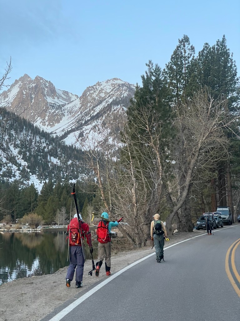
    View from the trailhead at Twin Lakes
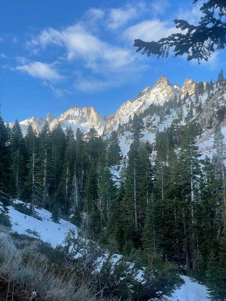
    View of Matterhorn peak (sharp peak on the leftmost side) when approaching Horse Creek

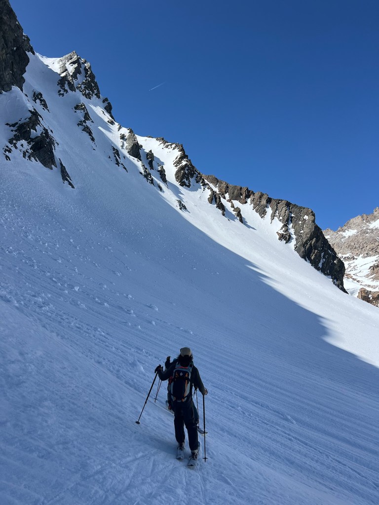
    Before we got there, we were met with two steep headwalls and a long valley before we made it to the basin of Horse Creek. We ate a quick lunch when we arrived and discussed what objective to prioritize. Two couloirs sandwiched the peak in front of us, which both looked pretty spicy. On our left was the NE couloir, which reminded me of the Big Couloir at Big Sky, MT. It definitely required two ice axes and the headwall was narrow and rocky. the NW couloir on the opposite side was definitely the more mellow of the two, so we headed that way and I secretly put the NE side on my tick list for the future. As we skinned around to the NW side, it was clear this objective was super cool. There were three chutes in total and we began to boot up a medium difficulty line. I set the bootpack and had two axes, but probably could have gotten away with just poles. We made it to the top after having climbed ~4500 ft for the day and felt great. The snow was a bit variable, but still soft enough to make good turns as long as we avoided the icer shaded sections. Regardless we had a blast skiing down and debated whether or not to make a second lap. At the time I decided to just go down, but we definitely should have gone for a second lap. The way down was still a ton of fun as the headwalls we climbed up were great for big arching turns in soft corn. Soon we were back on dirt, but spotted a sneaky patch of snow that led us nearly back to the lake trail. Overall it was a big day both in terms of milage and vert, but couldn’t have been a better start to the spring touring season. The setting was amazing, the couloir was challenging but well within our ability, and our group got along great.

    View of the NE couloir in Horse Creek Peak
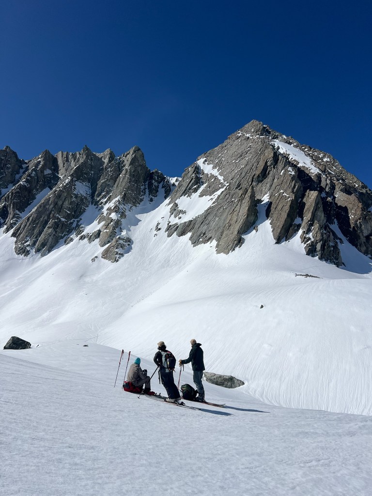
    Touring towards the NW couloir at Horse Creek Peak, we opted for chute centered in this photo

    One week of work passed before I was making another 6-7 hour drive from the bay area to the Eastern Sierra. This time I was staying with two friends from LA in a Mammoth Airbnb and hoping to get some laps in for their first tour of the season. That first night we all chatted through some ideas for what to do, but ultimately decided on heading to June Lake for some sidecountry within a zone called “The Negatives”. In the past I heard June Lake is a beautiful resort and it was on the Ikon pass, so this was the perfect location for an introduction tour. We began the day aiming to get on the first chair a little before the peak chair opened, which was great for sleeping in more than usual on a day like this. Three chairs later, we made it to the top of the resort and looked north to our objective for the day. Carson & the Negatives peaks both looked amazing and had a ton of different options for the descent. We figured we could decide between them once we made some more progress towards the Negatives summit. The skin track was relatively straightforward and we were following a ton of others on the way up, but our group was a little less experienced than usual. Really this just slowed up the pace a bit and I was able to soak in the views on the way up. The tour was only ~2000 ft, so before I knew it we had reached the summit and were joined by 2-3 other parties. All the lines coming off the ridgeline looked awesome. There were clearly a lot of other skiers in the area and conditions were still prime corn, so we opted for a central line on the North face.

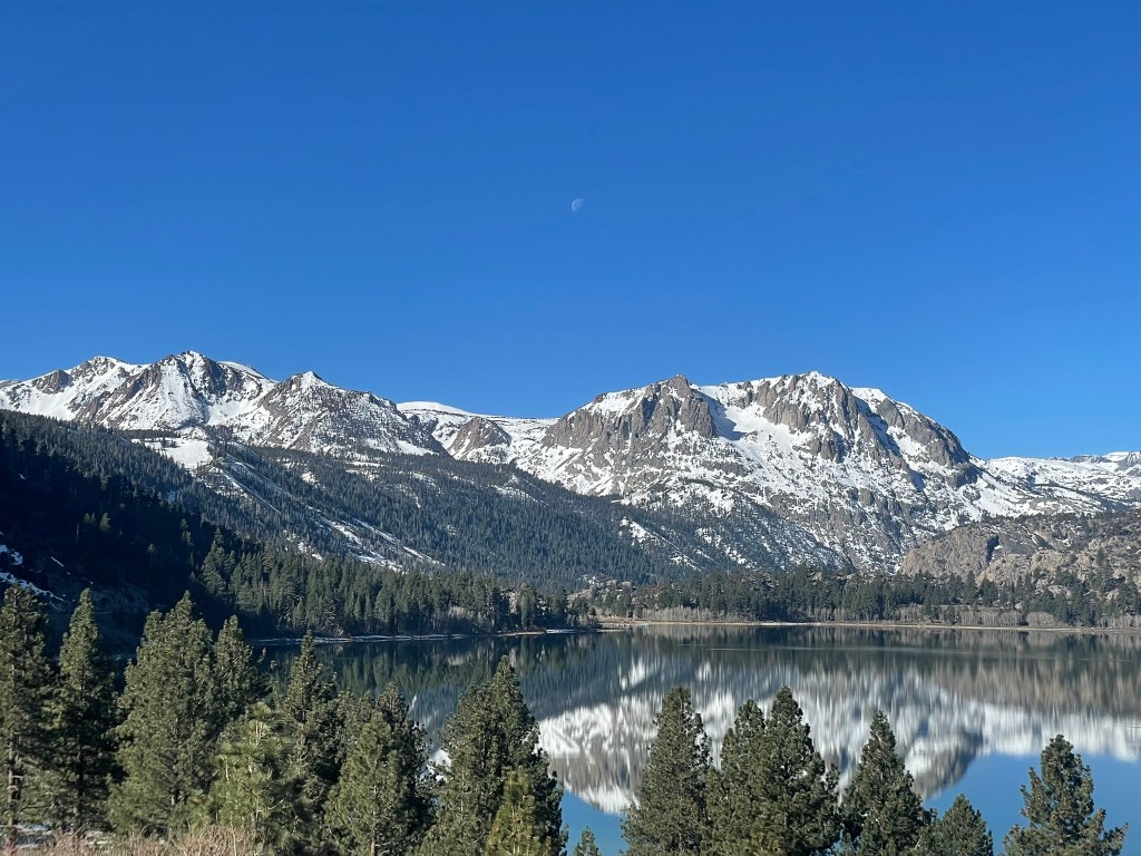
    June Lake with a view of Carson peak on the right and the Negatives on the left

    We traversed to the start of the line and saw a glorious slope below us. There were plenty of tracks below, but the snow was soft and not bumped up at all, making for some great and playful turns on the way down. We descended in two pitches and rested briefly at the base of the slope. Again there was another 2nd lap debate, and we made the same mistake again. Opting for a single lap was the right idea, but next time I’m definitely shooting for more. Soon after we made it onto an open meadow and pointed back towards the resort. We made a hilariously bad path back by making a bunch of unnecessary course corrections along the way, but eventually made it back to the resort and skied some groomers to end the day. The line we skied was super visible at this point and it was definitely on my mind to come back to this zone for the future. However, the next day we just skied some fun inbounds laps at Mammoth resort and headed back early for the long drive home. The following week I’d be back for even more spring touring, but this time I’d be even further from home.

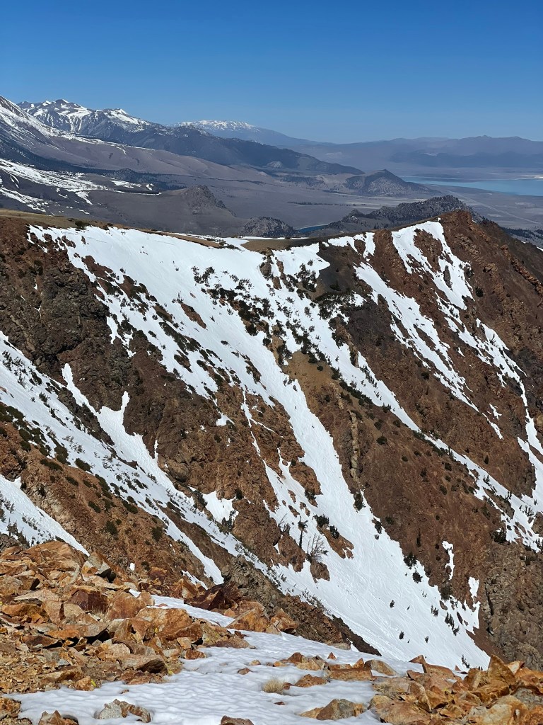
    Our line (N3?) within the Negatives with the desert valley in the background

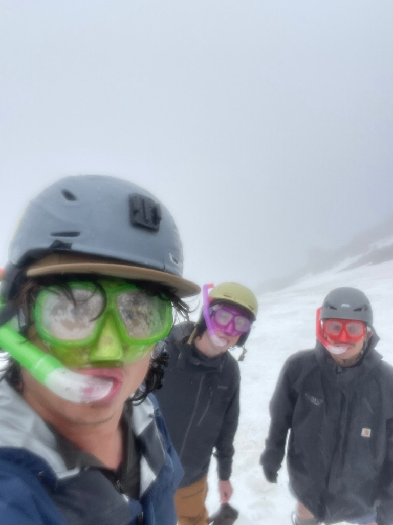
    This was the second year of my friend Devin and I’s journey to the East Coast to try and ski Mt. Washington’s Tuckerman’s Ravine. We both went to school in Boston, so there was a well timed reunion in the spring and a good excuse to make an adventure out of the trip. We had originally planned on staying at a friend’s cabin in Franconia with a big crew, but many bailed and we wound up skiing with a trio and still snagging the cabin. So after a long redeye flight across the country, I woke up in Boston and began the drive over to Tucks with Devin & Stink. It went relatively quick, but when we arrived we somewhat hilariously learned of a bachelorette party nearby and had to make a brief appearance. Somewhat unsurprisingly, we also learned that the next day would be pretty bad conditions for skiing: warm weather and rain. The third of our group, Stink, had come from Colorado and was puzzled as to why we still wanted to ski. But Devin and I were hardened from an East Coast upbringing and were unphased. We even bought some dollar store snorkeling gear to help us breath in the rain and give us some good energy for the following day.

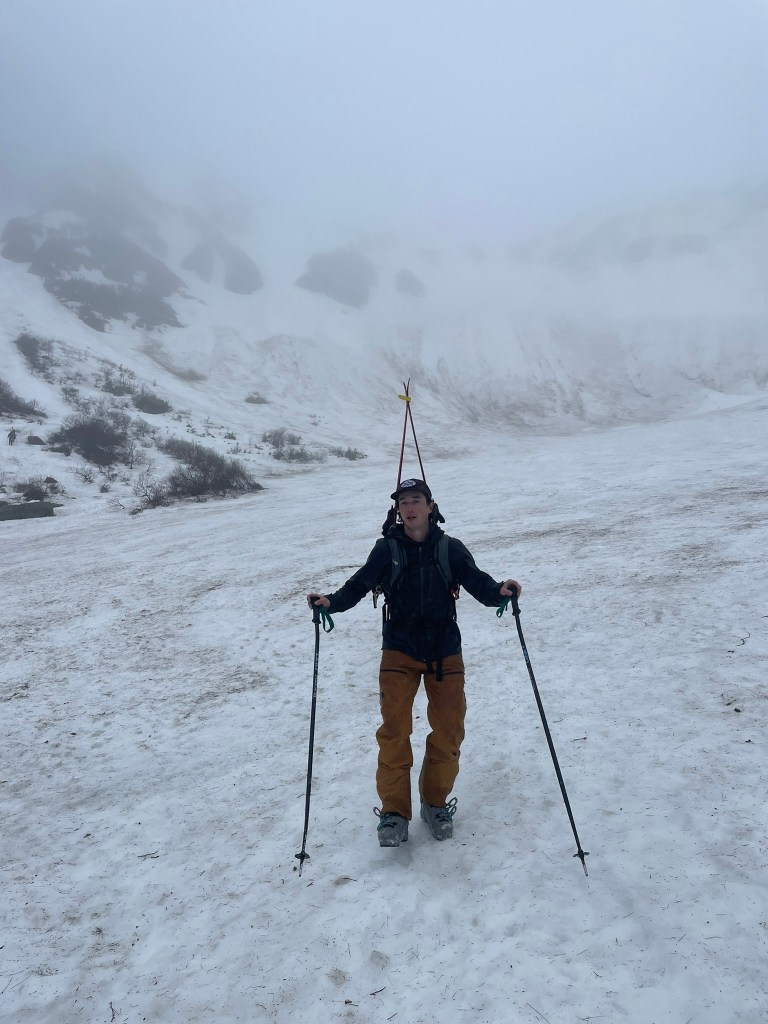
    Devin looking pensive at the base of Tuckerman’s Ravine

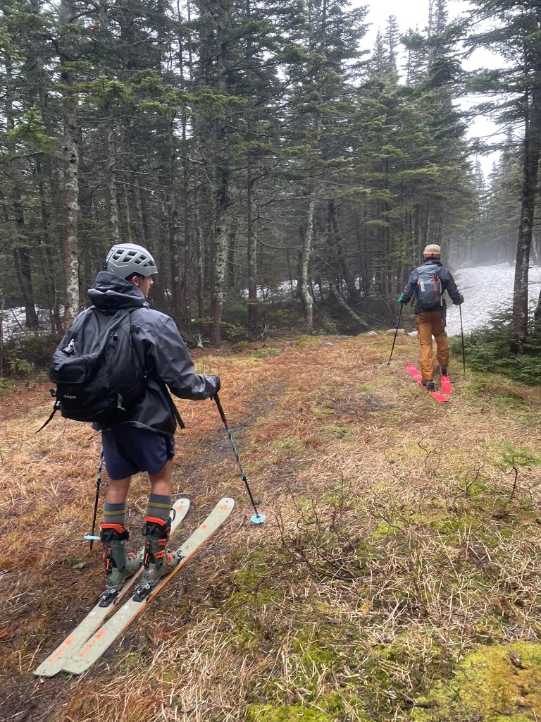
    We woke up the next morning to more rain and headed to the Pinkham’s Notch trailhead. Once again we would be hiking with skis on our back for pretty much the whole trail. This was also our Colorado friend Stink’s 2nd time touring, so he rented gear, wore an airport style boot bag as a backpack, forgot his crampons, and for some reason did not bring pants. We figured he’d figure it out and made our way up the Tuckerman’s Ravine trail and up to the base of the slope. The year prior we had hiked straight up the ‘chute’ on the main headwall, but this year we opted for an easier climb up the Left Gully in order to avoid needing crampons. It was still a bit spicy with ice patches here or there, but overall we made it to the top pretty quick. We even traversed over to take a look at the chute, but decided the conditions were variable enough to not take the risk of falling (a fall here would not be good). Instead we headed back to the Left Gully and started our way down. Unfortunately Stink’s ski almost immediately pre-released and he slid a hundred feet or so down the gully. He did manage to self arrest and was totally fine outside being a little more spooked for the day. Devin and I figured we’d just hike back up for lap 2 (did it right this time) and meet Stink where he was. This time we traversed even further in order to ski a new line called “Hillman’s Highway”. This was a mellow, but long gulley that ran outside the main ravine. We threw on our snorkeling gear to navigate the rain and made our way down the wet & mogully slope below. Skiing this was my favorite part of the day so far and we were spit out much further down than the Left gully would. Greeting us was the Sherburne trail meant for a ski descent, but given its lower elevation it was in pretty dire shape. The three of us navigated river crossings, lots of rock & dirt, and several sections where we hiked down grassy slopes to save some hiking on the way down.

    Hike up Left Gully
    Snorkels to help us see in the rain at the top of Hillman’s Highway

    Soon enough we were back down to the trailhead and done with another big weekend of ski adventuring (~4500 ft of gain). We took a pit stop at White Mountain Ski Co. to drop off some skis and wound up trading a coffee for a trip report (see https://whitemountainski.co/blogs/white-mountain-backcountry-conditions/wet-day-at-tucks-4-26-25). After some good chats with their crew, we made it back to Boston to celebrate our reunion and finally end the trip. Skiing Tuckerman’s ravine was also my 50th day of skiing this season. Although I still had more in the tank (ultimately ended the ’24-25 ski season with 54 days), I was incredibly proud of my effort to ski more this season and develop a strong group of friends to go on more adventures with in the future. Next season I’ll aim for even more days touring and hopefully opt for the 2nd lap every time.

    Typical East Coast pow day at the Sherburne trail, Stink’s boot bag and lack of pants prominent

  • Purcell Mountain Lodge

    Purcell Mountain Lodge

    Around the start of winter in 2023 going into 2024, my friend Meredith asked if I was interested in a hut trip in Canada for the following season. Without knowing much of the details, I immediately said yes and was stoked to learn more about what this might involve. To my surprise, Meredith and a few others had booked an entire hut with 16 total people out in the remote Purcell mountain range backcountry. This was a luxurious cabin that was fully staffed with guides, a chef, and an accompanying airport that would fly us out there in a series of helicopter rides. We’d stay there for about a week and ski tour the incredible Purcell mountain neighboring glacier national park. I didn’t even know this sort of trip was possible and was absolutely blown away by the thought. Now the hard part was waiting a full year to travel out to Canada and met our crew. Before then, my goal was to level up my ski touring skill set and hone in my set of gear to survive long days in the cold Canadian backcountry.

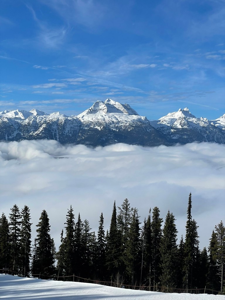
    Bigbie mountain as seen from Revelstoke

    Skipping ahead to the start of the winter in 2024 going into 2025, my life changed quite a bit. I was now living in SF from LA, I had a ski lease with some friends in Lake Tahoe, and I was in much better shape than the previous year. The hut trip began in March and I had a ton of time to dial in my setup and get more comfortable on the skin track. That season our go to tour was Rubicon peak, where we could make quick laps and ski amazing gladed terrain with relatively low avy risk. I even got a new pair of touring boots, which were a bit lighter and way less painful than my last uncomfortable pair of Lange’s. I had also changed jobs and had quite a bit more flexibility taking off time than previously. This worked out perfectly as I could join another group of friends on a trip to Revelstoke for the week prior to our hut trip in the Purcell’s. So all that was left was to enjoy the remainder of the winter season and get ready for two weeks skiing in Canada
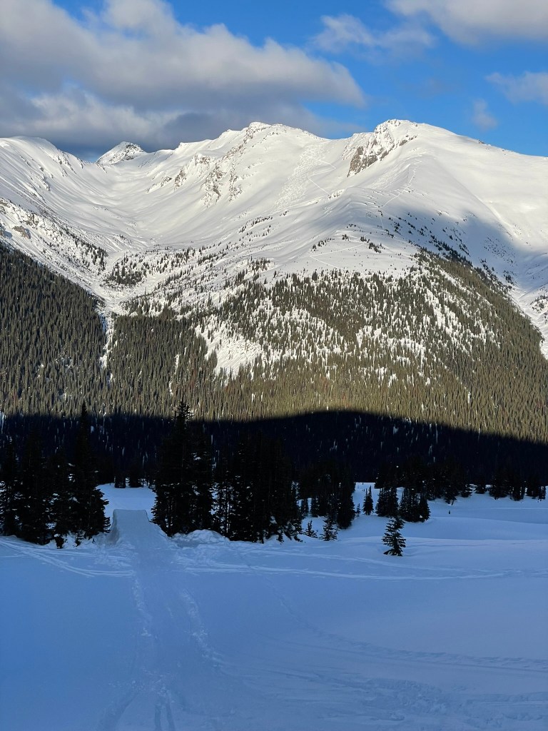
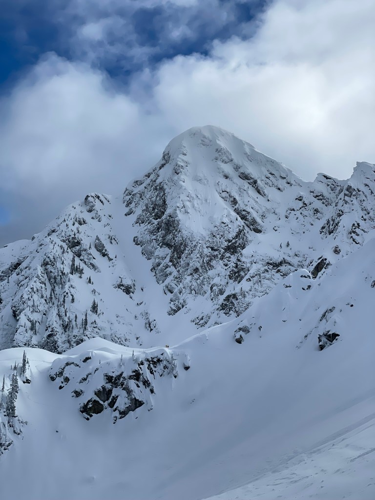
    Mt. McKenzie looming over the North Bowl at Revelstoke

    As the end of February arrived I had already skied about ~30 days that season, ran about 10-15 miles a week, and got in ~8 days of touring. I could not be more excited to test out my skills in bigger terrain and meet a new crew of capable skiers. Although I had known about a third of our group from college, the rest were friends of friends who happened to be good fits for this trip. Before I could meet them, I met my own crew at our Airbnb in Revelstoke, BC. There we were granted with about a foot of snow in the first storm of the week, covering up the melting spring snow below it. The first day skiing was probably our best, as we got some amazing fresh tracks and open powder bowls skiing on the North side of Revelstoke’s summit. Only about the top 1500 feet or so maintained good snow quality as temps below this line quickly warmed and changed the landscape into spring conditions. Despite this, we still had a great time reaping the good conditions for the first half of the week. My friends from the hut trip began to arrive the following Saturday and met us for a day of skiing at the resort. Unfortunately for them, there was no more snowfall and temps began to rise again. This made for a fun groomer day and we still had a great time enjoying the bluebird conditions as we toured the mountain once again. Sunday was our last day inbounds and we got a few runs in before I said goodbye to my friend group at Revelstoke to head back to Golden, BC. On our way there we drove through Roger’s Pass, which was part of the trans-Canadian highway through Glacier National Park and a famously great place for ski touring. Our destination was a big Airbnb for all those on the hut trip, which was located in a small logging town deep within the Canadian rocky mountains. Kicking Horse, another ski resort known for its imposing terrain, was also nearby and we managed to get two days passed discounted for the weekend after our hut trip. Regardless, I was mainly excited to meet our crew and do some final packing before we headed to the airport the next morning.

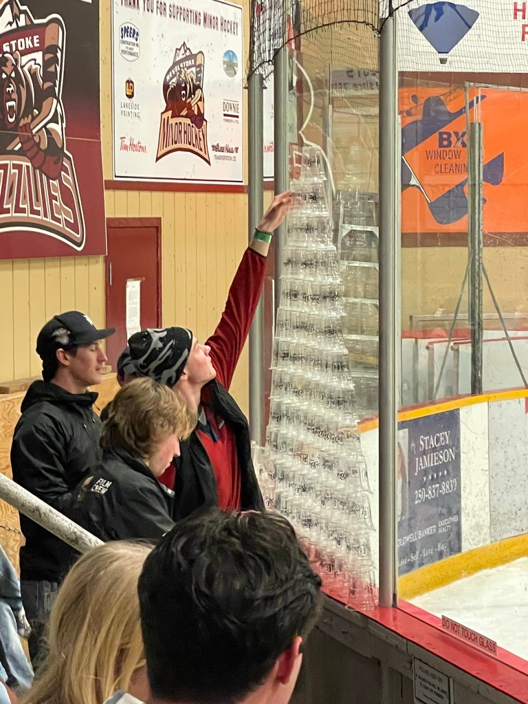
    Stacking cups at the local Revelstoke Grizzle’s game in town

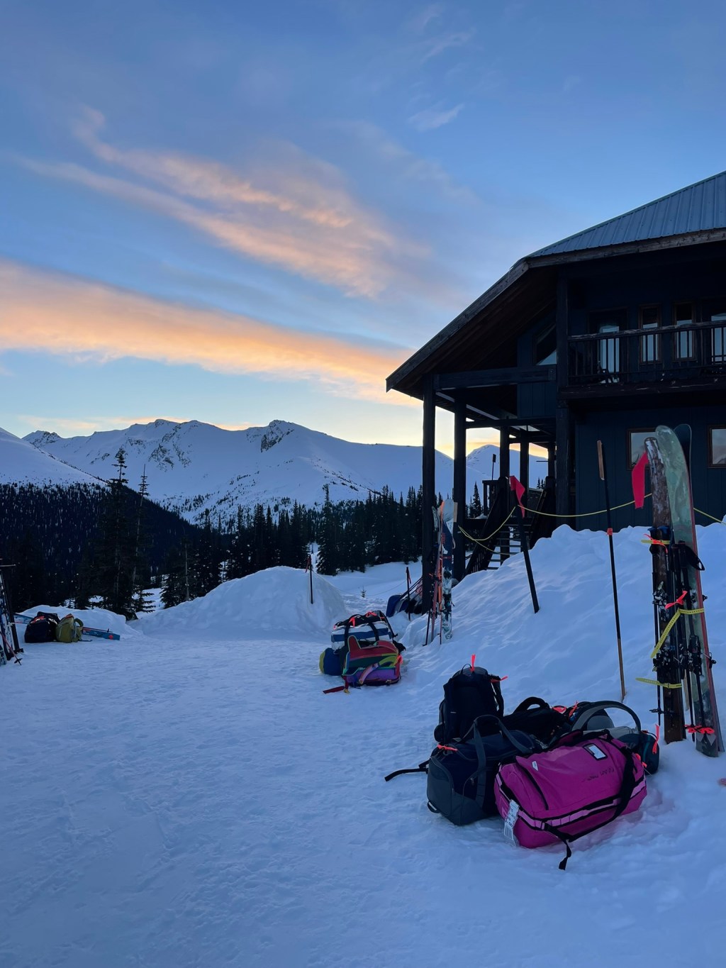
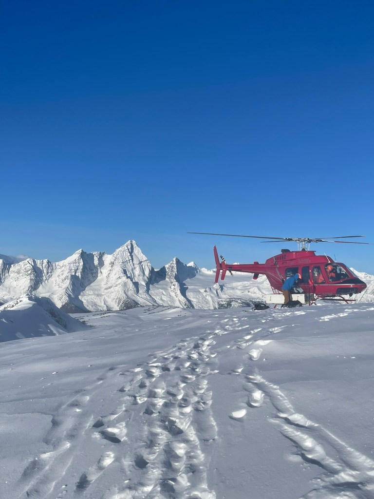
    I woke up at 6 am and could not have been more excited to start our day. The airport was close by and we were greeted with two helicopters, our guides for the day, and an unfortunate set of low altitude clouds looming in the sky. We filled out some paperwork, packed our bags away, and then waited for a few hours until we could finally get a helicopter in the air. Finally flying out was a great relief and such a cool experience in itself. I flew in the larger of the two aircraft, an extended Bell Huey with an 11 passenger capacity and the biggest blades I had seen on a helicopter before. We all sat face to face and could see the mountains pass by eerily close below us as we made our way into the range. The flight lasted probably 20 mins or so and then we landed just 50 feet or so from the lodge sitting in the middle of a peaceful alpine meadow covered in endless blankets of snow. The lodge itself was immaculate and massive for its location deep within the mountains. There were two main buildings along with a sauna, one was the main lodge while the other hosted an accompanying family within a smaller chalet. The main lodge had three levels: one basement for the crew and storage, one main common space & kitchen, and a top floor containing many rooms & showers for our group of 16. I was blown away by how nice it all looked and how many staff members there were to take care of us. Before this I had never been on a trip this luxurious and mainly had gone on ski trips in true dirtbag fashion. This was a rare treat and I was loving every second.

    The Purcell Mountain Lodge’s Chalet with a view of Porcupine Mountain in the background

    That afternoon we quickly got ready for a introduction tour where we would practice some avalanche rescue skills and see some of the landscape in front of us for the first time. Our group was very large and generally had two guides with us at all times. For now we all traveled in one big pack, heading out to the top of the ridge nearby and skiing some of the trees to the valley below. Our lodge was a bit unusual in that it sat on a meadow across from the majority of accessible terrain and separated by a ~1000 ft climb up the valley. This made skiing in the morning very quick, but always required one more skin up at the end of the day. Regardless, it was still a great time that day and we got our first chance at skiing some fun and mellow trees into the drainage below. When we got back, we were greeted with an apres meal from the chef and got our first shower in before dinner. The food at this point was already spectacular and served as a stark contrast to our hard work on the skin track. Our meal that night was bone in chicken thighs with some incredible curry and vegetables on the side. Drinks were a la cart, but were a great addition to the trip too. Slowly I met more of our group that day and knew that we were all super capable and excited for the days ahead.

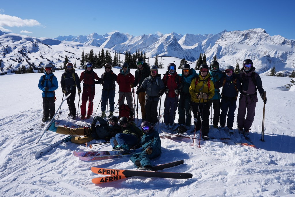
    Our group of 16 standing in front of the crazy views to the west

    The next morning we awoke to prepared coffee and another amazing breakfast meal. Our guides had a whiteboard at the far side of our dining table with a plan laid out for the day and told us of a special surprise. Today was our best weather window and we had the opportunity for a ‘heli bump’. All 16 of us decided to go and take one more helicopter ride to the nearby Ptarmigan peak. This saved us about 3000 ft of elevation gain and placed us right above some glorious north facing alpine bowls to start the day. Adding to this, there was also a child ski influencer (?) who took one of the helicopter rides from the airport to see the nearby Copperstain mountain’s south face – it was a weird but interesting note from the morning. After taking in our first real ‘heli ski’ experience, we made our way down some incredible gullies and into a drainage below Copperstain. Soon we split into three groups and headed back up towards the NE side, which is almost impossible to access without a bump early in the day. Once we made it to the cornice lip of the summit ridge, we saw an untouched and wide open north face with the best powder I’ve skied that whole year. While the group behind us chose to lap this face a few times, my group made our way down and then continued to the valley floor below. That was until suddenly my ski pre-released and quickly vanished before my eyes as it flew over the ridge below us.
    Post heli bump views of Mt. Sir Donald on the top of Ptarmigan

    I had no idea how that could have happened so quickly and immediately changed my mood from stoked to anxious. Our guide was not very happy either and let me down the gully below us with one ski. This turned out to be quite hard work as it as deep snow and steep terrain. I definitely did not have a good look for my new friends accompanying me, but everyone stayed positive as we made it down to the valley below. Our guide had assumed the ski just flew down the entire face, but when we got there it was no where to be found. I tried to not think of the consequences until it was sure that the ski was lost, but it was hard to take it all in at once. Then we suddenly had a great idea to contact the group above us for help. Out of shear luck, one of them had brought a drone and he was able to fly it overhead. Another guide took the controls and thankfully was able to spot our tracks which led right to the lost ski. Ironically enough, if we had just looked over the ridge we would have found the ski not 50 ft from where it released. Regardless, the group behind us had one guide to spare and he thankfully retrieved the ski and made his way down to us in the valley. I was back to feeling okay, but our whole group knew that we had just narrowly avoided a horrible outcome for the trip (likely another helicopter ride).

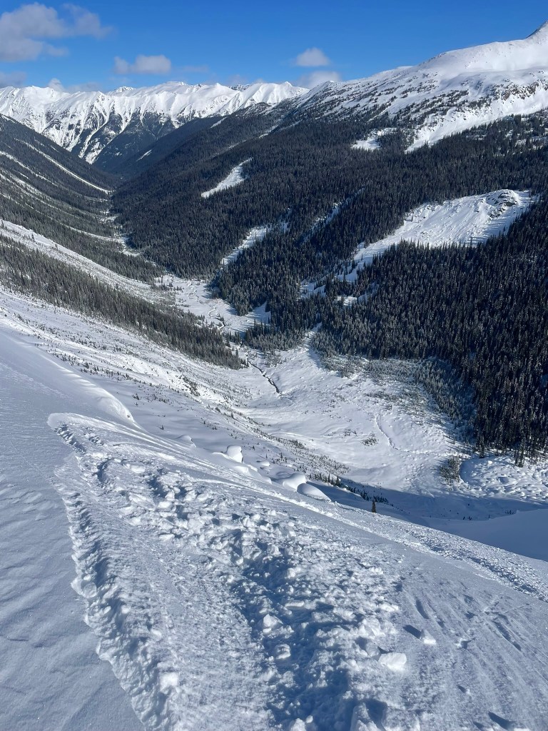
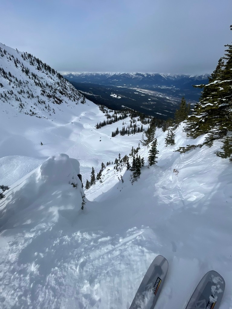
    View down the steep gulley where my ski fell

    Making it back from the valley floor also turned out to be difficult. There was about 2500 feet of climbing and part of it was through some steep powder and sketchy terrain. I was feeling exhausted from my one ski descent of this face and struggled up the rest of the slope. But that did not stop me and the group from having a good time. We did another lap on ‘Moonraker’, the NE powder slope on the backside of Copperstain and then headed back up to Ptarmigan for our last alpine lap of the day. Skiing these faces was absolutely spectacular and made me appreciate how finding these remote locations could result in some crazy untouched terrain. Granted this case was a bit special, we were paying for a shortcut to experience this, but it still served as a reminder for the future. Finding these moments in the remote backcountry was absolutely worthwhile. When we made it back to the valley, we had just skied nearly 5000 ft of incredible terrain and were ready for one last push up ‘Hydro Hill’. This was the climb back to the cabin and went relatively quick this time. I was still feeling quite exhausted as this was probably the biggest day of the trip and the biggest tour I had ever done to date. Luckily our chef Josef was there to greet us with another spectacular apres snack: pizza and beers. Shortly after we were back stretching and showering on the top floor and getting ready for the main courses. Taking a look outside and back onto the mountains we had just skied had me in a loss for words. I was incredibly grateful to be on a trip with friends skiing, let alone in a place as beautiful as this and having some pretty insane luck with getting my ski back earlier in the day. The next morning was about to be another big day, so after dinner it wasn’t long before we were all back in bed and excited to start it all over again.

    Looking ahead at the steep powder gully towards Copperstain after finding my ski

    The next morning we again woke up to coffee, an amazing breakfast, and our guides ready with a whiteboard describing our plan for the day. And that plan was to take a look skin north and over to a wide open face of glades called ‘The Burn’. I chose to join the fast group again and we headed out promptly at 9 am to chase some fun powder laps. The view on the way over was fantastic and we were gifted with relatively low elevation gain on the way there. Instead we would once again head down into the valley once we arrived and begin the first climb of the day. The first lap was awesome and filled with playful wooded terrain and lots of snow. I paired up with a friend and we chased each other through pillows & between burnt trees down to the drainage below. Our group was antsy to get back up for round 2 and we set the pace strong. Each lap was just below 1000 ft of gain and we generally paced each between 45-60 mins. Soon after we were joined by the other groups, who would pass us on the uphills and downhills as we zig-zag-ed through the terrain. In total we made four laps that day and totaled about 4500 ft of gain, still a crazy big day for me normally. In addition, we also had about 3 miles of traversing to make it back to the cabin – which went by faster as I got to know more of our group. That night we debated over what would be the next objective as we soaked in the sauna and sipped on some a la cart brews. We all wanted to get back to the alpine, but also were eying a set of big kickers that our chef had constructed at the top of the glades near our hut. Our guides were hesitant to commit that night, so we kept faith and enjoyed another night of great meals, some stretching, and hanging out in the common space.

    Endless rolling hills on our way back from The Burn

    Another morning just as nice as the last and we were gifted with an amazing plan for the day: we would venture out to Porcupine mountain, the last of the three in the valley we had yet to ski. On porcupine there were two gigantic bowls that are rarely skied at the lodge due to their steep aspects and generally large approaches. Since we were skiing in early March and didn’t have a ton of recent snowfall, the snowpack was generally stable enough for us to attempt these glorious objectives. And so our whole group mobilized into one for our last day and made our way out across the valley once more. We first skied the trees (‘Kneegrinder Glades’) and then our guide set a skintrack up to the treeline of Purcupine. The views from this point on the rest of the valley were incredible. Endless alpine terrain loomed below us and there was no civilization in sight. To our west was the incredibly prominent Mt. Sir Donald, which stood about 2000 ft taller than the peaks on our end of the valley and housed massive glaciers on all sides. To our south was the tenured helicopter skiing terrain, which had all the powder faces and pillow lines I would imagine it to be. Soon after we began to climb the ridge proper and into our first line of the day: ‘Double Espresso’. This was a massive north facing alpine bowl completely untouched for our group of now 19 (3 guides accompanied us). We all took turns cruising down and making big arching turns. At the bottom we were all stoked as usual and took videos of each other coming down back to back. At this point we were all feeling great as the whole group had no issues coming up or down. The guides felt good too and led us back up an adjacent face and into our 2nd lap of the day. this time we were on ‘Long Overdue’, a face that none of the guides had skied all year due to its remoteness and exposure to avalanches. I think for most of us this was the highlight of the trip: 19 of us made it up two incredible alpine bowls in one of the most inspiring settings I’ve been in before. This second lap matched the first, as it was long enough to really savor the moment and have a ton of fun on the way down. I was feeling over the moon and excited to ski back down to the valley floor. There we had some bonus wiggles and bounces off boulder pillows as we slowly approached the treeline. Instead of climbing directly up Hydro Hill, a group of us diverted slightly to make it back to Yosef’s big kickers at the top of the ridge. There we all took turns hitting the smaller of the jumps and had a ton of fun leaping into a powdery runout below. It was a bittersweet moment because after the last jump, we hiked up the ridge one last time and skied back down to the lodge. The next day we would fly out in the morning and end one of the best ski vacations of my life.

    Double Espresso
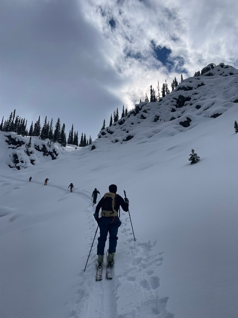
    Skin track up to the top of Long Overdue
    Long Overdue ❤

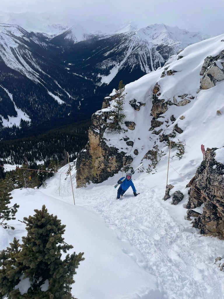
    Our group was feeling great after the last day of touring and reminisced over the week with a round of ‘Roses & Thorns’ for dinner. It was another great meal and we were able to get everyone in the hut (including guides & our Chalet family) to participate by stating their least & most favorite moments from the trip. For me it was the fact that I met such a cool group of people and accomplished my goal of ‘hanging’ with the fast crew the whole time. After dinner we hung out as usual and savored the hut’s amenities for one last night. In the morning, we scrambled to clean out our rooms, pack bags, and shuffle back into the helicopters for our journey back to Golden. Some of us were leaving that next day while myself and a smaller group would stay to ski some more in bounds days at Kicking Horse. At this point I had already skied 10 days, but was equally excited to take lifts again and see some new terrain. Kicking horse turned out to be a crazy and intimidating mountain. Its known for steep ridges lined with countless chutes on either side. It only had three lifts in the entire resort, which meant there was a ton of hiking involved for those adventurous enough to explore the biggest lines. Our group made a hike out to ‘Terminator 2’ peak that first day and experienced the most sketch portion of the trip: an exposed hike up and crazy steep ski down. This was my favorite type of skiing and I was having a blast exploring this new terrain. In our view was also the south face of ‘Terminator 1’ which had hosted the Freeride World Tour earlier in the year (in bounds!).

    Terminator 2 hike
    Skiing Terminator 2

    The last day we also skied Kicking Horse and had a fantastic crew. We spent the majority of the day lapping chutes as fast as we could, pushing each other to ski in good style. We paused in a yurt for some lunch and beers before making our final lap of the day skiing some very technical and imposing terrain. I even blew out one of my shift bindings after sending off a cliff in the woods, but had no gear or physical injuries thankfully. After this I drove with a friend back to Calgary and grabbed a final meal with our crew. The next morning we would fly back to California and end our two week stint in some of the coolest areas I had ever been. This trip served as an experience of a lifetime, one that I will always remember. And the best part of the whole thing was that I met ~10 new people that all shared this experience and would help me progress in touring for the season to come. I’m incredibly grateful to be in a position where this is possible and to have had such a memorable experience along the way <3.

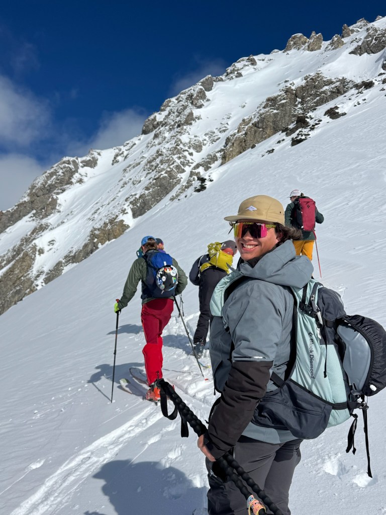
    Smiling on the ridgeline before Double Espresso
    The view of Mt. Sir Donald from the Purcell Mountain Lodge at sunset
    The kicker at the end of the last day touring, looking closely you can see tracks from both Double Espresso and Long Overdue in the background
  • White Maiden’s Walkway

    White Maiden’s Walkway

    After some initial success with multipitch climbing, Trevor and I set out to get more practice out in Tahquitz. The best part of this crag is its abundant and high quality moderate routes – and by moderate I really mean the easiest it gets. As true beginners we set out on trying to climb the remaining two routes rated 5.4, starting with White Maiden’s Walkway. This was the benchmark 5.1 in the original list of climbing grades for Tahquitz and navigated its way through the easiest path up the center (Maiden) buttress of the spire. Although it was rated 5.4 it was a step up from our first climb on the Trough, which was shorter and technically easier. Plus WMW had a psychological crux on pitch 4 – an exposed section called the ‘doubtful corner’ which required a committing step over to a ledge without any great handholds. Little did we know at the time the real crux would be route finding along the ~800 ft buttress, which had plenty of good looking sections that climbed much harder than 5.4. Despite this, we both thought this was a great next objective and were pumped to make it back to Tahquitz for our third multipitch climb.

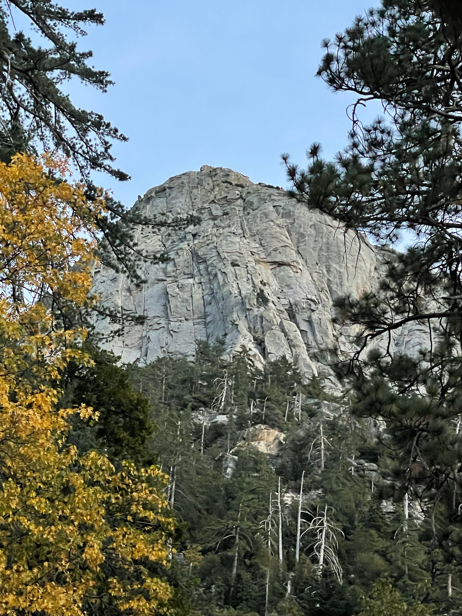
    Tahquitz rock in fall colors ❤

    On the drive over, Trevor and I scrubbed all beta that we could on WMW through mountain project, the local guidebook, trip reports, and videos online. Despite there being a ton of information, there was no clear consensus on where this climb even started. Of the topo’s listed in mountain project, two of them showed different entrances and one was described as having a couple 5.6 moves. But soon we were at the trailhead and figured it would be more clear at the base of the rock. The trail felt quicker this time, even though its always pretty steep and long. After lunch rock, we traversed over to the Maiden Buttress and saw another group at what looked like the start of the route. We were pretty certain this was the 5.6 entrance and heard that the group in front of us were aiming to take a slightly more direct variation of WMW rated at 5.7. We figured it would be nice to have a group to follow for the most part and got setup at the base. Trevor began the first block, with the idea that I would take over the lead for pitches 3&4 (the cruxes) while Trevor got some practice on 1&2. Despite the first pitch overall being super easy climbing, the initial 5.6 moves were pretty difficult and committing. There were no real handholds and two small foot placements high up requiring an awkward mantle right off the deck. Trevor made it past this section and sped up to the first ledge pretty quickly – a great lead.

    Trevor making it past the 5.6 moves from the deck of WMW – a great lead

    Next up was pitch 2, a similarly moderate pitch with one step over section that seemed a bit cruxy from the topo. Trevor began onwards and quickly made it out of my sight. But after this point things got a bit tricky and I began to wait it out at the belay. Soon after another group joined us, a couple with a newer follower who wound up being great belay companions. While we waited there, it was clear that there were some route finding issues ahead. Trevor was not confident where the step over was and became pretty intimidated by the more direct 5.7 route that seemed like the more obvious path ahead. To add to this, a single cam placed at the start at the route combined with the step over lead to a high amount of rope drag. A little over an hour passed and Trevor made it to the end of pitch 2 at another big rock ledge. At this point I was getting pretty nervous for the remaining leads and did a pretty poor job at following the line. When I finally got to the belay, I was not feeling good about the next pitch and I knew Trevor got a bit spooked from the previous lead. Given the time of day, uncertainty in the route, and general bad vibes, I made the call to bail for real and come back another time. Luckily for us, the group behind us also decided to bail (hopefully not from our influence) and had left a great bail anchor at pitch 1. We rapped down and only had one issue with ropes getting caught in bushes that unfortunately required some solo-ing to retrieve. Despite the failed effort, I felt really good about our decisions that day (sans the rope retrieval). It was important to me to recognize when to bail and to follow through with bad feelings in consequential terrain. Our ego’s took a hit not finishing a truly beginner route, but who cares? Really it just gave us motivation to get it the next time and saved us from a long day or potential epic.

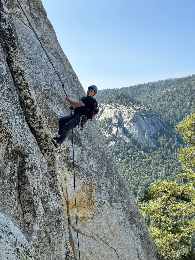
    Second repell from our first attempt bail on White Maiden’s Walkway

    And before we knew it, Trevor and I were back at Tahquitz a few months later. This time we both did a lot more research on route finding and even drew a notebook topo to help memorize the line. I had been climbing a lot more too and felt generally more confident that we could pull it off this go around. We arrived early at the trailhead after buying some small cams at the local shop and blitzed up the approach. We planned the same lead block strategy and Trevor sped back up pitch 1 to the belay station. When we arrived, we let another group pass ahead of us, figuring that it would be nice to follow for the remaining pitches and ensure we had the best chance at good route finding. Despite loosing a bit of time while this group passed, pitch 2 felt way better than before. I found the step over and it felt super clean all the way up to the belay. The group ahead of us lead on to pitch 3, and we hung out for a little bit on the large rock platform. I felt ready for the next two steeper pitches, but was still pretty nervous for what was ahead.

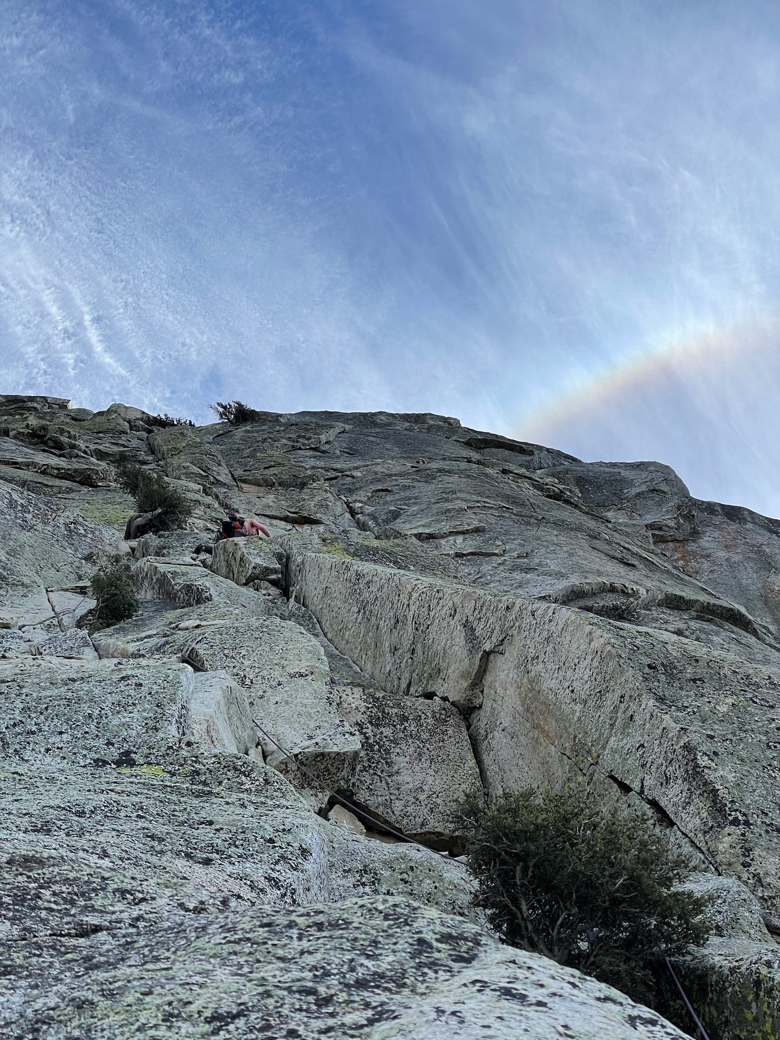
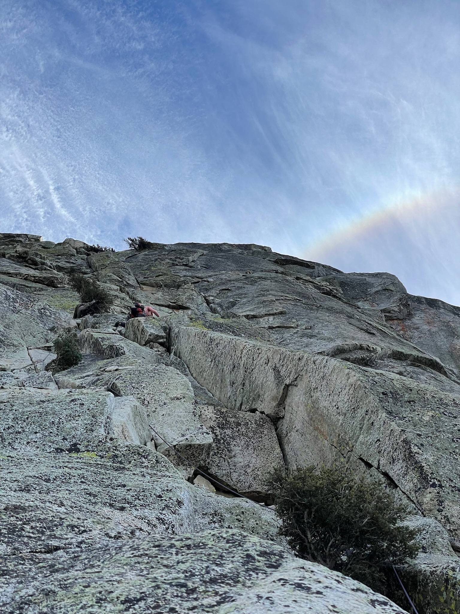
    View from the top of pitch 2, A rainbow looming above White Maiden’s Walkway

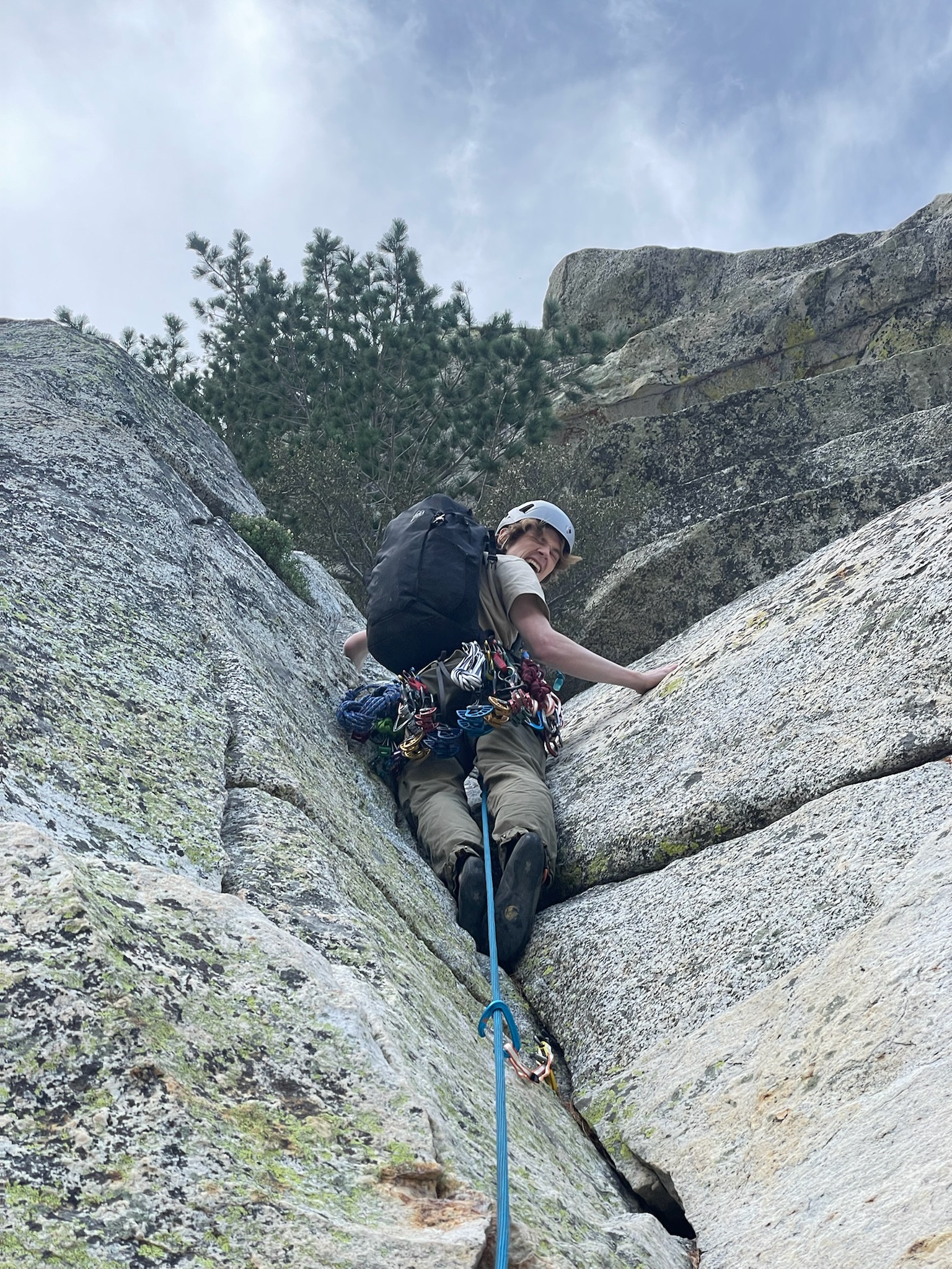
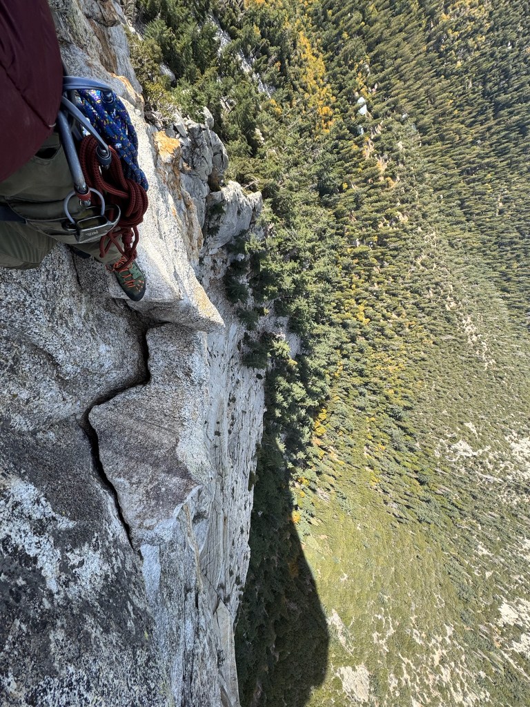
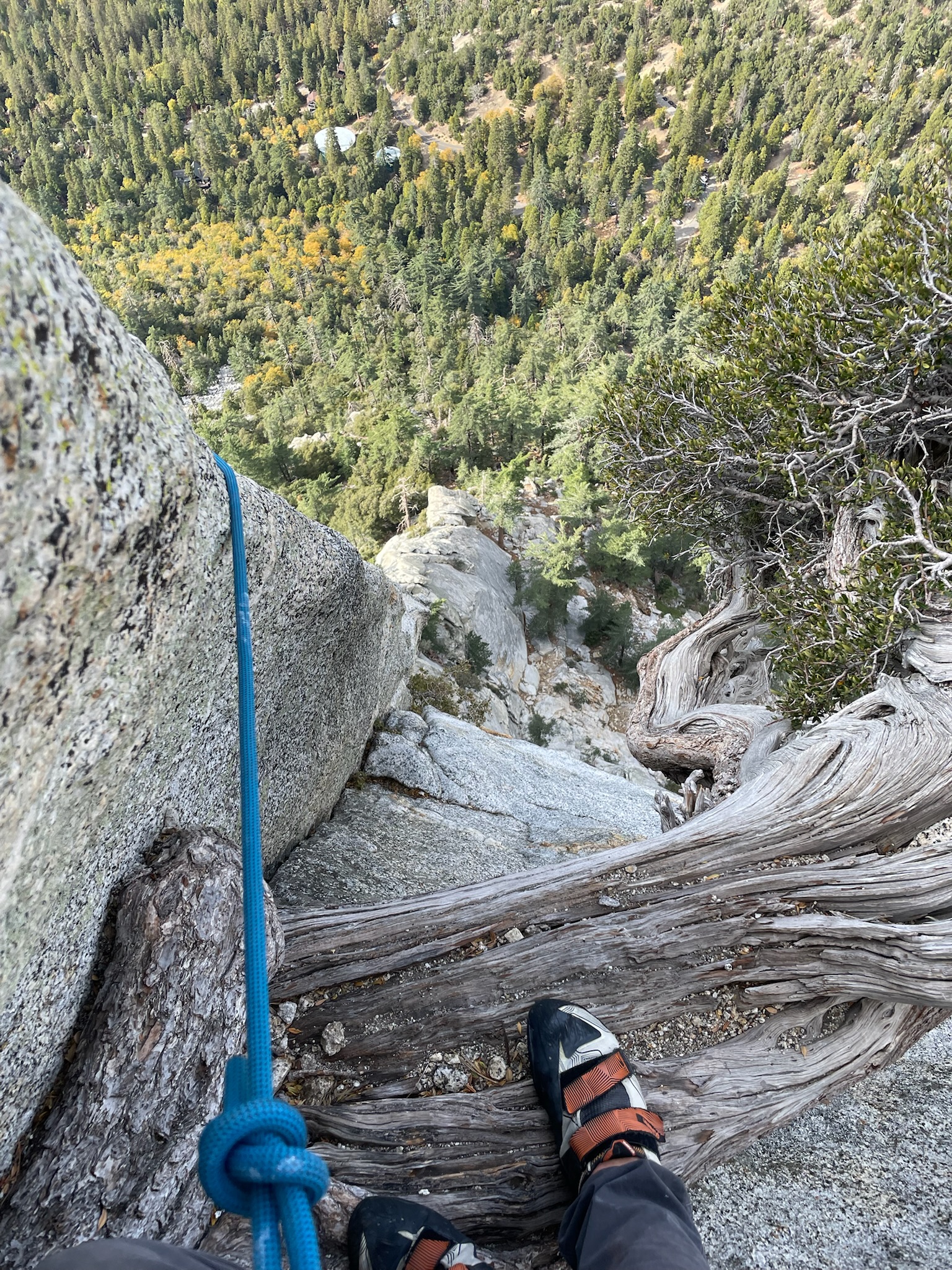
    Turns out I had nothing to worry about, pitch 3 was spectacular. There were great placements for gear and good handholds despite a relatively steep slope and way more exposure than before. Near the end there was a mini exposed corner with a hidden glory jug that made for a great finish. The belay at the top was bushy and crowded with the next group, but I was glad to get a breather before the doubtful corner looming on pitch 4. Trevor sped up and after a few minutes of waiting we were ready to rip again. The pitch started off with a protected chimney that progressively became narrower until it ended at a tiny ledge. After this point, there was a single crack for a blue C4 cam and no more hand holds. Instead the ledge rounded a corner and required an exposed step over to another large ledge incut about 2 feet into the slope. The step over itself looms over the base of the route about 300 feet below. I stood over the edge patentiently and calmed myself down. Next I carefully placed my right foot at the left most point of the ledge, allowing my left foot to slowly round the corner and find a smear on the wall across. There were no real handholds, so I carefully lowered by left hand until I had one or two fingers at the next ledge. As soon as I leaned over enough to feel secure I committed to the move and it went as smooth as it could have. I pulled myself up past a tree on the same ledge and took a huge sigh of relief. Standing there was one of the coolest moments I’ve had climbing. It was a moment of pure flow where I met and executed a challenge I felt matched my ability at the time. I looked down at the exposure and the view of San Jacinto ahead feeling on top of the world and pumped to finish the rest of the climb. The last bit of pitch 4 was effecitvely fourth class and a good fun. Trevor followed and made it through the corner with no problems – having used the tree on the ledge for some additional support.

    Trevor’s view immediately before the doubtful corner
    The view after stepping over the ‘doubtful corner’

    I lead pitch 5 and followed closely to the group ahead of us. Most of the route was super easy except for the final ledge which traversed to the right of the summit. I chose to wrap around the ledges and up some juggy handholds, which felt easy but had poor pro and high exposure. I managed to place a small cam anyway and mantled up the final ledge and onto some low angled slopes to the finish. At this point I had expected one more pitch and was surpised we had managed to link some of the last few pitches together. This led to a great surpise for Trevor as he followed up the last pitch and up the the belay. I was incredibly pysched to had made it to the top given our previous bail and the clear step up in difficulty for this route. Not only that, but I had felt our climb was the smoothest we had done yet on both ends. Trevor’s P1&2 leads were way faster than previously and I did not feel overly uncomfortable at any point along the climb. The doubtful corner is a super cool lead and the whole route is definitely a classic moderate of the crag. The way down on the friction pitch went smoothy and we spent the whole time discussing where and how much pizza we were about to consume. Overall this experience made me much more confident in progressing in traditional multipitch climbing and stoked to continue progressing with more climbing in the future.

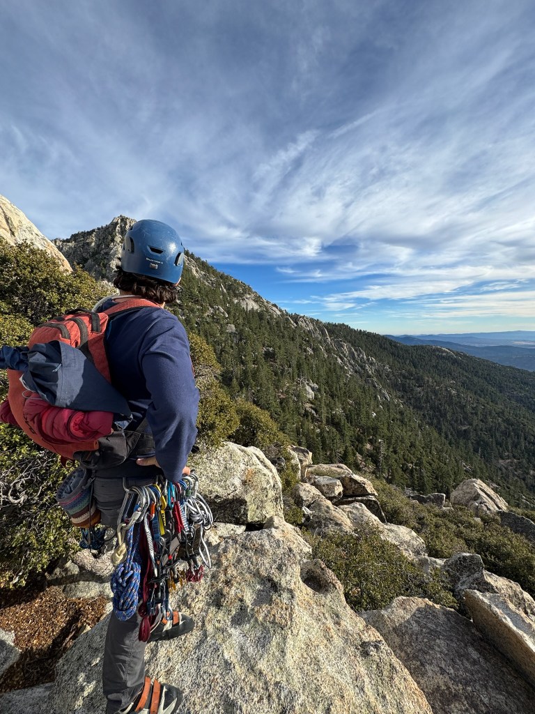
    Top out view
    A beautiful sunset over San Jacinto on the descent

  • Putting it Together – The Grand Teton

    Putting it Together – The Grand Teton

    The inspiration for the Grand Teton is a funny story in itself. Trevor brought it up first after some mountaineering type trips in Colorado and Mt. Baldy, but before then I had no idea what climbing it would involve. I also had no idea what outdoor climbing in general involved outside of some top roping here and there. But inspiration is a funny thing, having such a clear vision of a goal yet having no idea what is involved in its pursuit made us pretty damn motivated to try and figure it out. And to start I pulled up Mountain Project for probably the first time in my life. I had climbed a few times before in a gym and outside, but never did much above 5.10 ish top roping or low grade boulders. The easiest way up the Grand was the Owen Spalding route, rated at 5.4 – which seemed incredibly easy at a first glance. It wasn’t until I started really researching that I began to understand the reality of traditional climbing ethics and that 3000 ft of exposure in bad weather can be pretty terrifying. But here we were, two kids with a spike in motivation and maybe 6 months before the timing was right. In that time, all we had to do was learn to lead climb, learn to make anchors and place gear, get in shape, and then go for it!

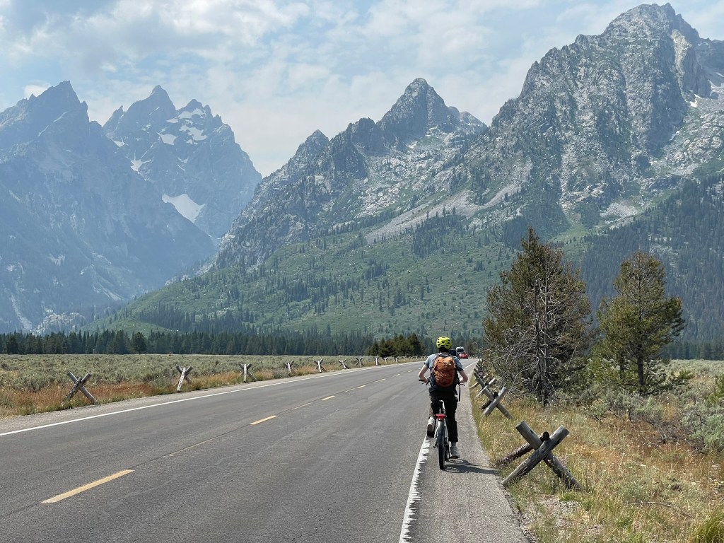
    Trevor and I e-biking through the spectacular Grand Loop trail

    Trevor was the initiator of the idea to climb the grand and had booked a week off to travel in the Tetons for late July. At the time it was still early spring and we mapped out some intermediate milestones necessary to build up technical skills and experience. A majority of the climbing preparation is described within the “SoCal Climbing” post from earlier this year (https://maxhalk.com/2025/05/25/how-to-not-fall-socal-climbing/). But the TL;DR is that a lot of preparation went into this objective. The general strategy was to learn technical skills in a comfortable setting and then take our skills outside to practice. Doing this helped instill confidence that we could tackle similarly difficult technical terrain but with weather, exposure, and pressure in the mix. First we practiced some strenuous and exposed terrain first like Mt. San Antonio’s headwall chutes and Mt. Hood’s old chute / south headwall. Then we moved onto a lead climbing course at our local gym along with some outdoor practice at Malibu Creek for our first sport climbing experience. And finally we took a two day anchor, rescue, and trad gear placement course in Stoney point ahead of our first multipitch lead at Tahquitz. We paced each activity out over several weekends and tried to get reps in the climbing gym during the weekdays. I personally was still feeling the nerves about my overall climbing ability and ropes skills, but slowly felt better through a few months of ~2-3 climbing sessions a week. Then after our first multipitch climbing experience went well, I knew we at least stood a solid chance at making it to the summit. The nerves would still linger, but I could trust we had practiced the right skills and could lean on our experience when it was our time to shine.

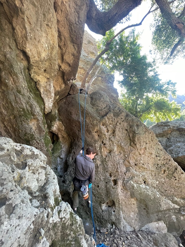
    Rappel practice after our first outdoor lead in Malibu Creek

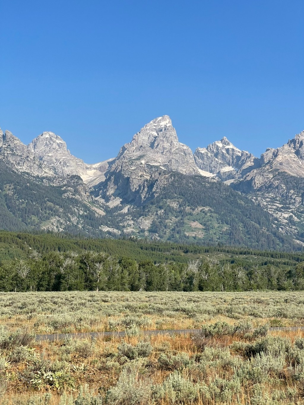
    When we first committed to climbing the Grand in the early spring of 2024, July seemed plenty far away to avoid thinking about it in earnest. But before I knew it, I was on a flight to Jackson and glancing at its striking summit within the broader Cathedral group. There is something special about the surrounding area – the mountains rise dramatically from its peaceful valley and the alpine environment is defined by massive and sharp granite peaks. People come from all across the continent to climb and ski in the Grand Teton National Park, where its namesake peak stands as a right of passage in many ways for the local community. While descending the Ford-Stettner couloir or completing the ‘picnic’ is probably out of my league for the next couple years, these traditions are part of the inspiration for making the journey out to climb this mountain and acquiring the skills necessary for an attempt in good style. After landing mid-week, I met Trevor and his dad after they had made it back from hiking in Death Canyon. We would stay in the Jackson Hole resort hostel for the next couple days, giving us a ~2 day window to camp at the Grand Teton’s lower saddle and make some summit attempts. For now we ate in town, visited the local mountaineering shop for last minute gear, and meticulously researched beta on the route (mostly through https://wyomingwhiskey.blogspot.com/). The next morning we would wake up and drive to the trailhead, starting our journey towards our basecamp.

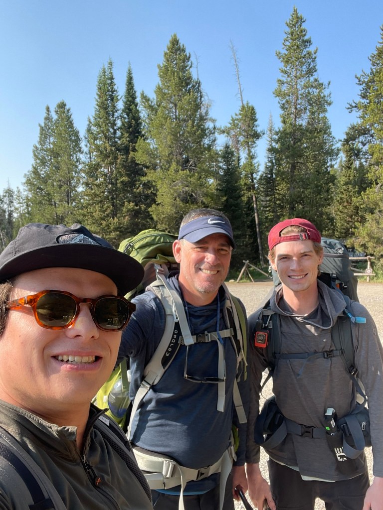
    Trevor, his dad, and myself at Lupine Meadows Trailhead

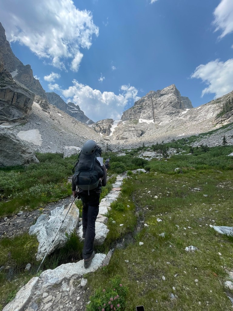
    Trevor, his dad, and myself arrived at the Lupine Meadows Trailhead around 9am and were gifted with some beautiful weather. Our packs were heavy and filled with overnight gear, a rack & a half of gear, and a 60 m rope. The first ~2.5 miles of the trail felt smooth as we navigated a well maintained path and several switchbacks into Garnett Canyon. As soon as we rounded the corner into the canyon we got our first few of the huge granite walls cut by glaciers which loomed below the Grand’s north valley. Below us were a handful of lakes that accompanied the larger Jackson valley and made for a fantastic viewpoint. Not long after we made it to the first milestone of the hike: the platforms campsite. Here was the start of the alpine meadows of Garnett canyon and where Trevor’s dad would stay the night. We took a quick lunch and took in the views before our journey continued up the bolder fields ahead. We also were able to fill up completely on water from the river splitting through the canyon, a huge perk of the trip that would continue until our camp at the lower saddle. Trevor’s dad stayed back at this campsite where he would wait for us to get back from the summit and give us some peace of mind that help was close if we needed it. Ahead of us was still about 2500 ft of elevation gain across two rock bands before our campsite. We started off again and were immediately met with a beautiful alpine meadow perched right below the middle teton’s imposing east face. In all directions were huge granite walls carved by extinct glaciers that once inhabited this canyon. Soon we found ourselves on a slog of steep switchbacks which lined these walls ahead of us. The trail quickly became less and less friendly as we started to hop over large moraine fields and up looser talus slopes between sections of trail. Once we made it over the first rock band, the landscape changed dramatically into a seemly barron wasteland of rock and ice. It was incredible to witness and soon enough we could just make out the Grand Teton’s massive exum ridge as we passed to the north fork of Garnett Canyon proper.

    Trevor and I making our way through an alpine meadow below the Middle Teton
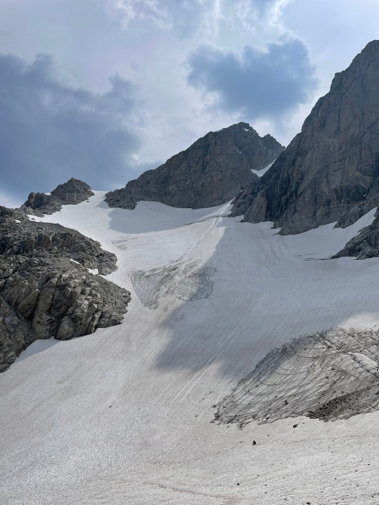
    Looking toward the Middle Teton glacier, which had some ski descents in August after our climb

    The last stretch of trail before we arrived at the lower saddle for camp was the 2nd rock band. It was a similar slog of talus and switchbacks to the first, but also had a section of steeper rock forming a headwall. Luckily there was a maintained fixed rope, which helped us haul our heavy overnight packs without fear of soloing or pulling out our technical gear. At this point I was getting pretty tired, but knew we were making great pace for setting up camp in the light and heading to bed early. When we arrived, we were greeted with many other groups setting up camp across the massive saddle between the Middle and Grand Teton. There was a large and semi permanent tent at the top of the saddle and occupied by a fairly large guide group. Nextdoor was a small wooden outhouse with one of the best toilet views you could ask for: the entire western drainage of the Teton range. Our campsite was shielded by a massive boulder and sat closer to the eastern side of the saddle. Trevor and I quickly put up our tent and made some camp meals before sun set. I had saved the wyoming whiskey webpage for beta and was reviewing our route to the Upper Saddle and Owen-Spalding ahead one last time. We were about to sleep at nearly 12,000 ft, so we quickly got ready for bed and prepared for some mediocre sleep before our 4 am alarm. The plan for the next day would be to summit, pack up camp, and then make it all the way back down to the trailhead – a truly huge day for us.
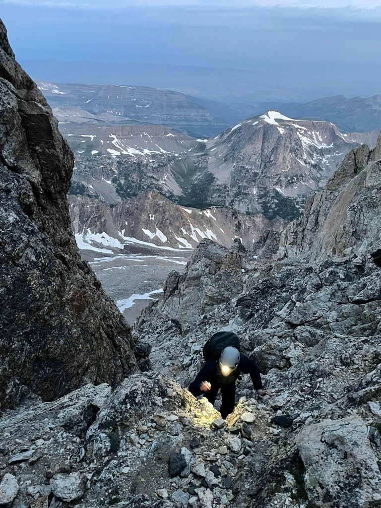
    Trevor scrambling towards the Upper Saddle at dawn

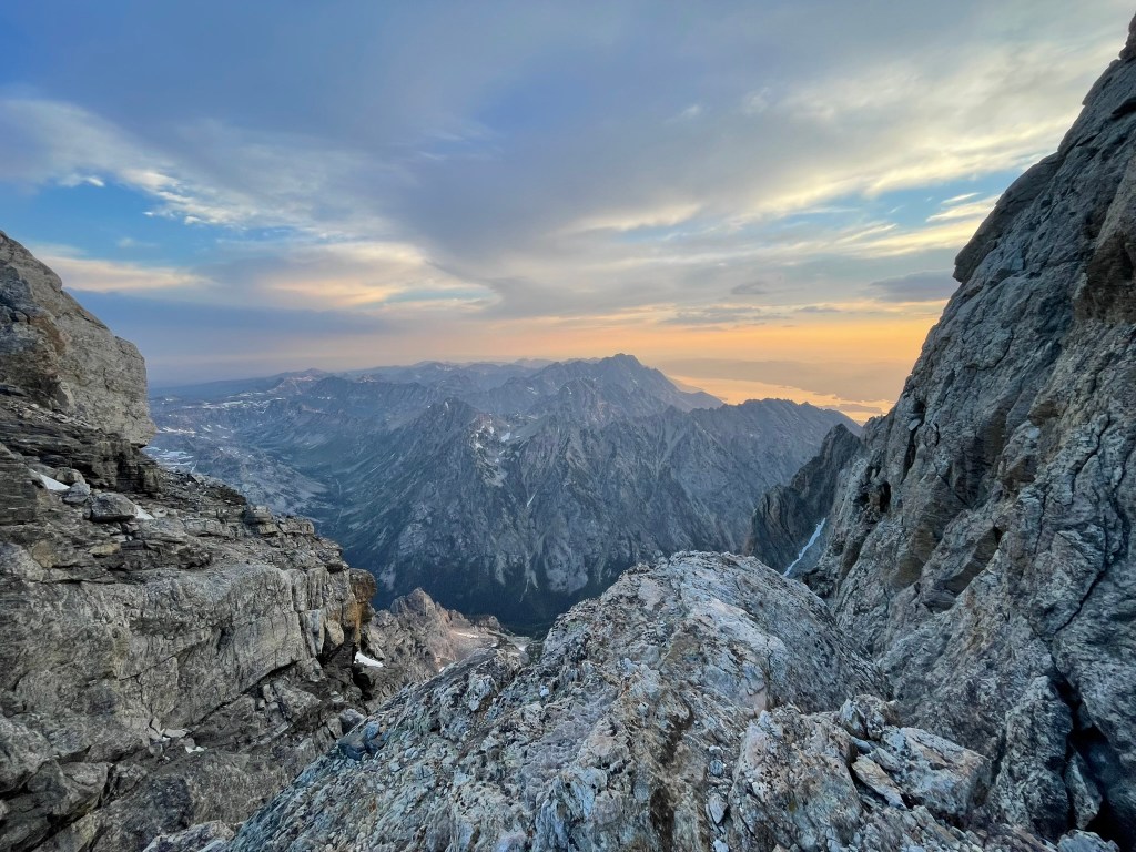
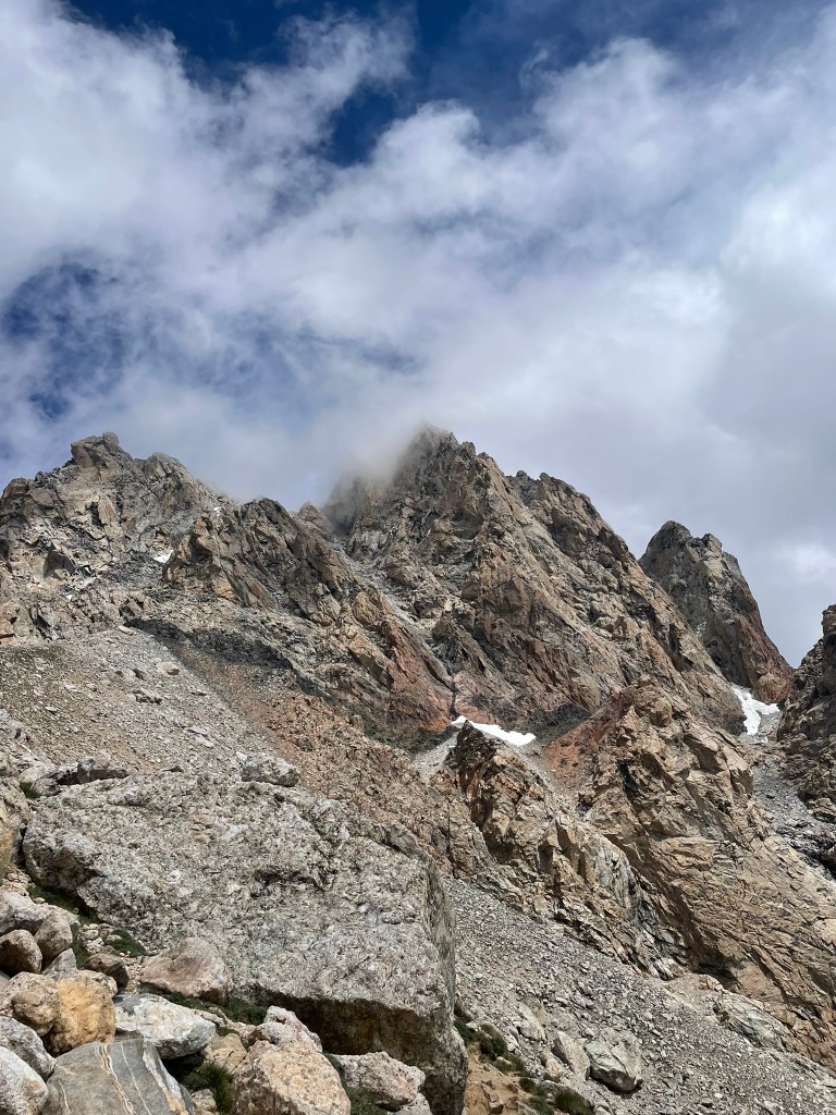
    Sleeping was difficult, I got brief moments of true rest interspersed with many more moments of uncomfortable churning. Getting out of the tent at 4 in the morning was rough, but both Trevor and I got to work with final packing and making breakfast. We shared a bowl of oatmeal and then made our way towards the gradually steepening trail headed to the Upper Saddle. The route ahead was about 500 ft of talus and 1000 ft of ~4th class scrambling before the roped climbing even started. Route finding was the crux here and we both put in a ton of time researching our way. First up was the chockstone chimney, a ~50 ft section of exposed scrambling with pretty loose rock. This went by quickly and we found ourselves making it through the next couple of obstacles without much trouble. Climbing through the ‘eye of the needle’ was a highlight as we navigated our way through a natural cave / tunnel feature in order to avoid the more precarious ‘Briggs Slabs’ on our left. We also met some climbers on their way to the Upper Exum route and point them towards ‘Wall Street’ – a crazy exposed ramp that connects the scramble to the prominent Exum ridge. After this point the sun started to rise and we were gifted with a glorious orange glow to light up the range behind us. The Upper Saddle was in sight, but we took a moment to bask in the view behind us as it was the highlight of the trip so far in my eyes.

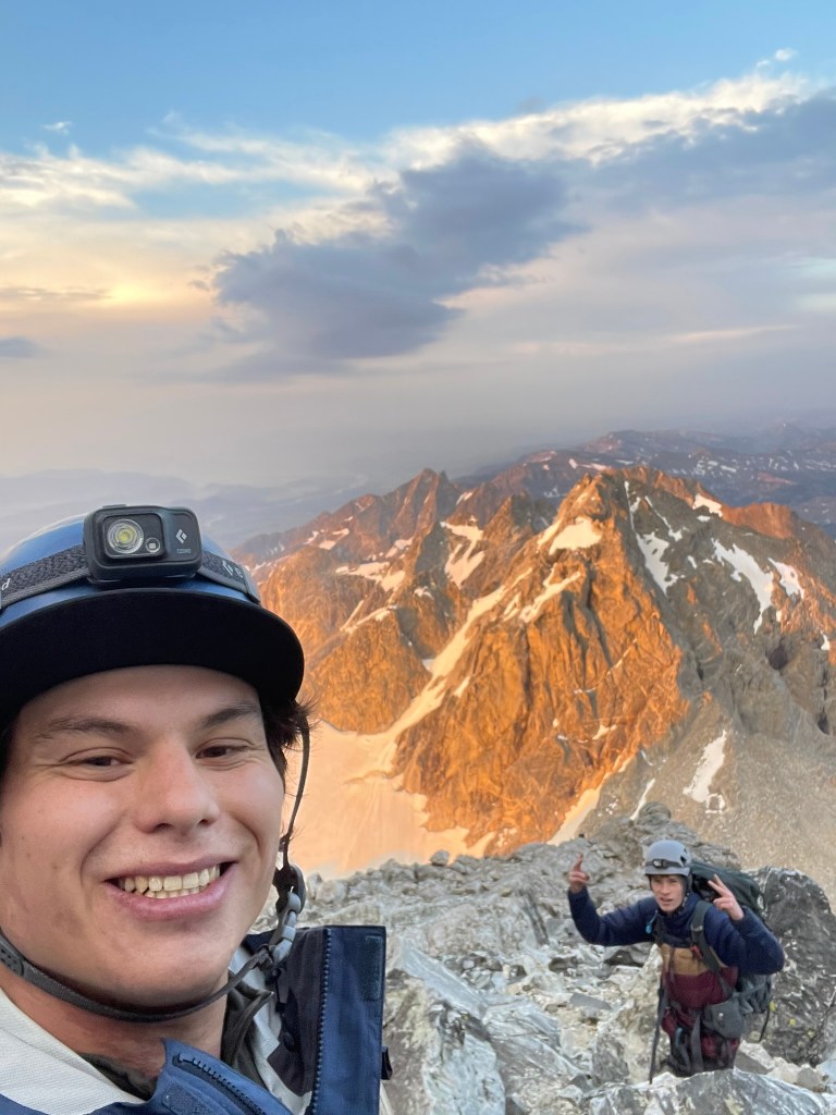
    Trevor and I basking in the alpenglow and looking south towards the Middle Teton

    In contrast to the incredible alpenglow, we arrived at the Upper Saddle and were quickly greeted with the Grand Teton’s intimidating West Face. This second saddle marked the beginning of the Owen-Spalding route and rapidly dropped off on either side straight to the valley floor below. We sat there with two other groups and discussed the plan ahead. While the weather at that moment was calm, we knew there were clouds quickly approaching. We expected this storm to come and bring rain, but really we were afraid of any potential lightning. We had an updated forecast from inReach messaging Trevor’s dad in the morning and knew that lightning was a potential after about noon in the day. We had a solid 4 hours ish of time to get down from the summit, which was enough margin as long as we didn’t get stuck up there for some reason. At this point we had a decision to make and I was feeling pretty scarred to commit. I knew that it possible and that Trevor and I’s training to this point has us well prepared. So at that point I took charge and committed to the route by starting to build our first anchor. We decided to add one more pitch to be protected while making it past a traverse to the start of the climb. This section had easy climbing but made it’s way past the saddle and over about 2500 ft of exposure to the valley floor below. The belly roll and the crawl were two incredible features where you could hold onto jugs and smear your feet over an insane and terrifying setting. Shortly after I found myself at the 2nd entrance of the route and below an obvious belay ledge. I placed one final cam and up a sketchy off width crack before making the anchor.
    The view north at the Upper Saddle

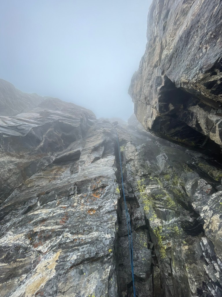
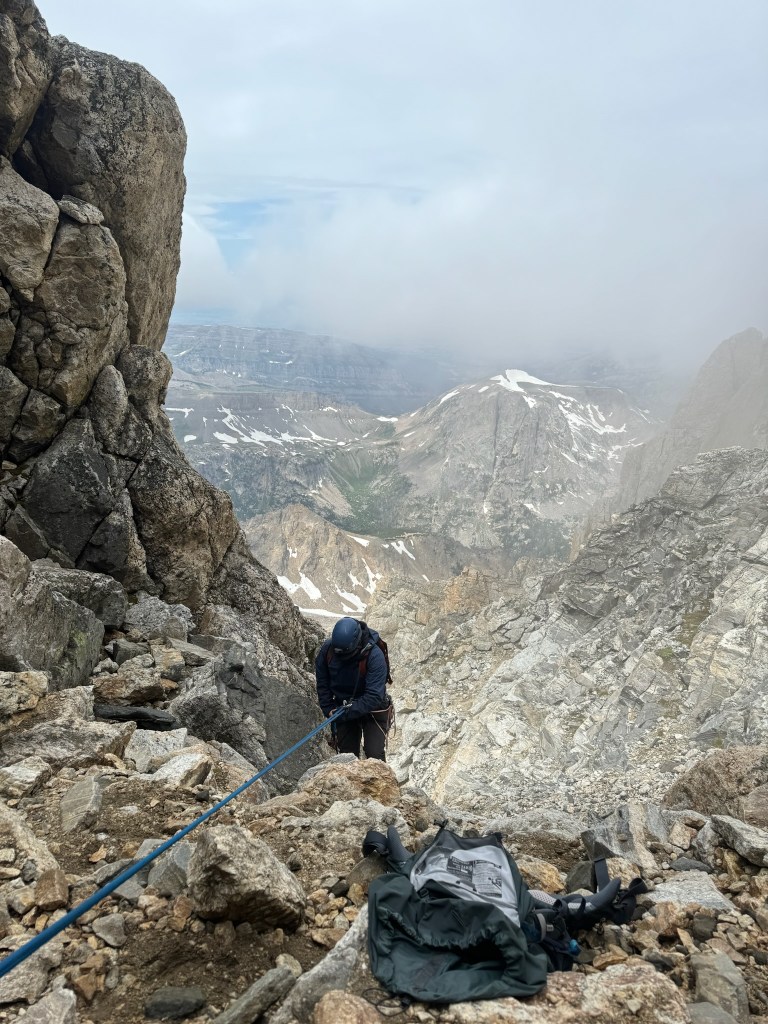
    At this point the weather was slowly starting to get worse and Trevor was making his way through the first pitch. Our lack of radios made communication hilariously difficult for a traverse pitch, but luckily he understood my plethora of rope tugs as a sign that he was on belay. Next a free solo-ist passed us and tugged on our rope during the sketchy off width section. Then Trevor arrived and I started up the next pitch. At this point I was having a blast and was completely in the flow state. Climbing was not very difficult and the worst of the exposure was passed us. Pitch two had another natural tunnel and I was able to run out the majority of the climbing. Soon enough we reached the Owen chimney to mark the start of the third pitch. I continued to lead to help speed up the day and was feeling great. The weather on the other hand only got worse: there was a lot of wind, the start of rain, and a cloud came in to limit visibility quite a bit. Despite this climbing was still easy and pitch three only had one move that was a bit insecure. Otherwise we made it to the top, traversed over a relatively flat section to Sargent’s chimney, and into the last pitch. This chimney was the easiest so far and I was having a blast. Our timing was still pretty good but I knew we were still chasing the clock to avoid being stuck in worse weather still.

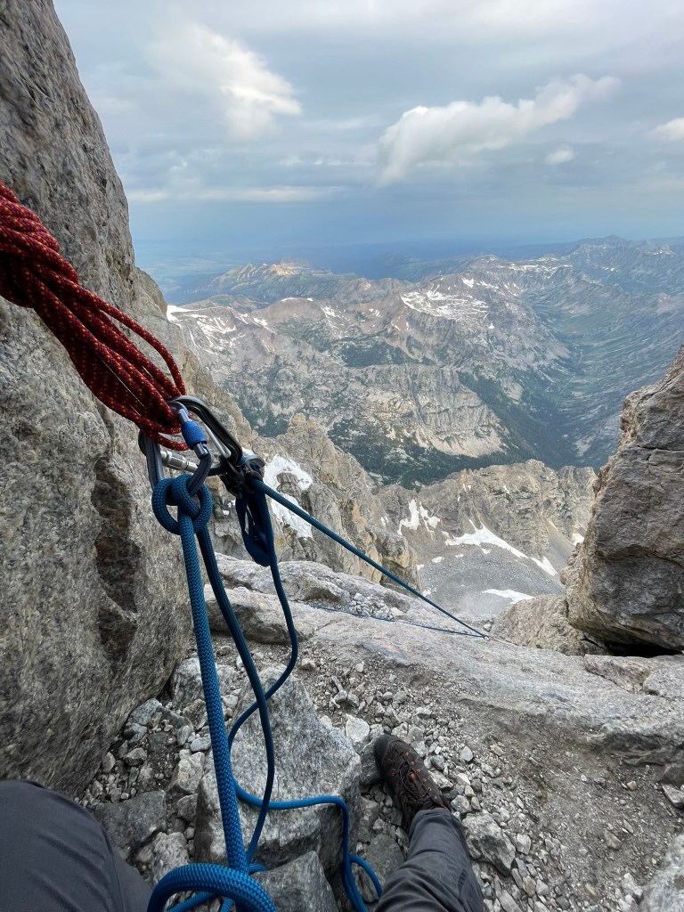
    Belaying at the 2nd entrance to Owen-Spalding and looking at the exposure on top of the Upper Saddle

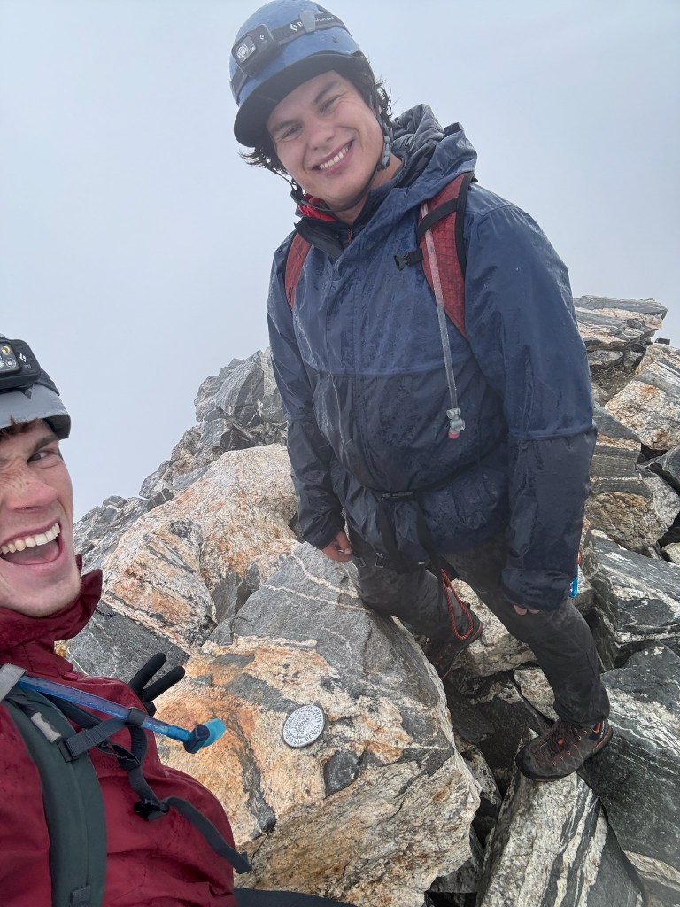
    After finishing Sargent’s, we unroped and checked our maps one last time before making our summit push up the last few hundred feet of scrambling. With the clouds fully soaked in we had trouble finding any of the features described in Wyoming Whiskey’s page, so I took the lead and started up what looked like the best path to me. Soon we collided with the top of the Exum Ridge and could see the true summit lingering in the distance. On our right was the imposing east face snowfield, a crazy 50 deg slope where most of the ski descents for the mountain began. Traversing the ridge was a crazy experience, we straddled some sections of knife edge terrain & felt like we were on some crazy remote wasteland while covered in dense fog. Then we finally arrived on the last boulder patch and found the summit marker. At last we had finished the route and achieved this Grand milestone. Both of us were soaked to the bone and still feeling the rush of adrenaline from the climb. We looked around, took some photos of the blank white landscape, and then quickly made our way back to the top of Sargent’s chimney. There was a somewhat maintained anchor here and we made it down without any issue towards the main rappel below. Navigating this ledge section was fairly straightforward and we found a massive and well maintained anchor perched above the large cliff below. We had a 60 meter rope, which required us to stick as far as we could to the looker’s right of the cliff in order to make it to the ledges on the Upper Saddle. I tossed out the rope and heard it whip through the gusts of wind in front of us. On the way down I unsnagged the rope several times and successfully made it to the ledges without much issue.

    Mandatory summit selfie and proof that we had no view
    Trevor’s descent down the main rappel

    While Trevor followed I began to feel quite cold in the wet and windy conditions. We had finally made it passed the worse of the exposure that day, but still had a massive amount of vertical to hike back down. We ate some snacks and then Trevor managed the descent route finding. This was relatively easy from a technical perspective, but was tedious and Trevor took a minor slip that cut open his hand. Luckily we packed a small first aid kit and we cleaned up the wound quickly. After this and having made it down about 1000 ft from the summit, the clouds opened up and we realised the Grand had its own little whether system which had been plaguing our ascent. Below this layer we could see all the way down to the valley floor and we laughed at how stark of a contrast it presented. Before reaching the Lower Saddle and our camp, we also made a rappel over the chockstone chimney which looked much stepper from above than I had remembered. When we finally made it to camp, I felt relieved but incredibly tired. Trevor graciously cleaned up camp, but I took a quick power nap after feeling pretty mentally drained from the exposure. At this point it was a little after noon and had marked 8 hours from when we left camp in the dark of night. The rest of the trail was about 5500 feet of descent across about 6 miles of terrain. We put on our heavy packs once again and began the last of our journey down towards the trailhead.

    My descent down the chockstone chimney

    The fixed ropes at the 2nd rock band had a bolted anchor which served as an easy rappel and suddenly we were back to talus fields and steep switchbacks into Garnett Canyon. I was making relatively slow progress and trying to keep up with Trevor on the downhill. Keeping me motivated was Trevor’s dad back at the platforms campsite, where we would get some snacks and renewed energy for the descent below. It took a few hours, but we met up and quickly told the story of our treacherous journey that morning. He was super excited to see us and finally get to head back himself. So we didn’t rest long and continued back on the trail down to the valley. At this point we were passed 12 hours of continuous movement and I was feeling the fatigue. Every second felt longer than usual and the trail seemed to be endless. Really that was just my exhaustion kicking in and the descent was very casual. When we did finally make it back to the trailhead I was simultaneously relieved, excited, and enormously tired. Trevor and I laid on our backs next to the car and below the view of the mountain we had just climbed.

    The view of the Grand Teton from the Lower Saddle camp, notice the clouds raining on us only appear on the final 1000 ft or so of the mountain

    Later that night, the three of us drove back to our hostel in the Jackson Hole Resort and got some celebratory dinner at the Mangy Moose. We rehashed the day in great excitement and I felt tremendously proud of having finished our mission that began months before. In the coming days we spent some more time in the valley, ultimately e-biking the grand loop and seeing the vistas by Cascade Canyon to the north. It was pretty crazy to think that early in the same year we both never climbed on our own outside before and didn’t even know what true alpine or traditional climbing involved. The journey itself to climbing this mountain was a ton of fun, and I knew that I wanted to continue learning more skills and unlocking new peaks to climb. Really this mountain was the start of a passion for adventures in the mountains and a renewed sense of what was possible for the future.